Status unknown — verify before visiting
We don't have current condition data for this trail. Check with the land manager before you go.
2.2 mi
Distance
2,657 ft
Elev. Gain
1h 51m
Est. Time
Out & Back
Route Type
Difficult
Difficulty
About This Trail
Imported descriptionTrail Conditions
Trail Conditions
We have no current condition data for this trail. Check with the operator before you go, and submit a report below if you've been recently.
No recent condition reports. Be the first to share what you see on the trail.
Trail Details
- Route Type
- Out & Back
- Surface
- Dirt
Official sources & verification
We don't have curated agency sources for this trail in our cache yet. Outdoors is not the permitting authority — confirm conditions, permits, and access with the managing agency before you go. If you know who manages this trail, please tell us.
Reviews
No reviews yet
Be the first to share your experience and help others plan their visit.
OpenStreetMap
Hunt context
This trail crosses hunting units
During hunting seasons, wear blaze orange and check regulations — see the New Mexico hunting page
Nearby Trails
More trails near Cerro Grande Trail
Stay nearby
Campgrounds near this trail
Forest Service Rd 268 Dispersed Site
2.3 mi away · NM
Pajarito Springs (Dispersed)
2.7 mi away · NM
Reservable
Bandelier National Monument Ponderosa Group Campground
3.7 mi away · NM
Las Conchas Trailhead - Primitive Climber's Camp
6.6 mi away · NM
Juniper Family Campground
8.8 mi away · NM
 Reservable
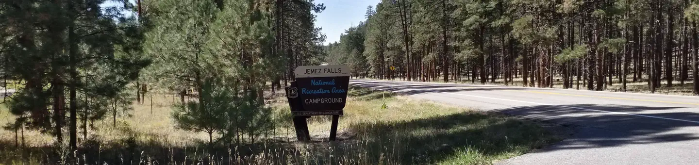
Jemez Falls Campground
10.6 mi away · NM
Similar length
Similar trails in New Mexico
Osha Trail
New Mexico
The Volcanoes Trail
New Mexico
Dripping Springs Trail
New Mexico
Rinconada Canyon Trail
New Mexico
Michael M. Emery and Trail 305 Loop
New Mexico
Piedras Marcadas Canyon
New Mexico