Status unknown — verify before visiting

We don't have current condition data for this trail. Check with the land manager before you go.

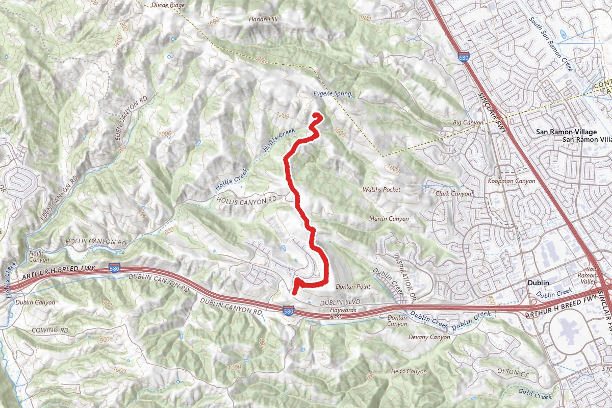
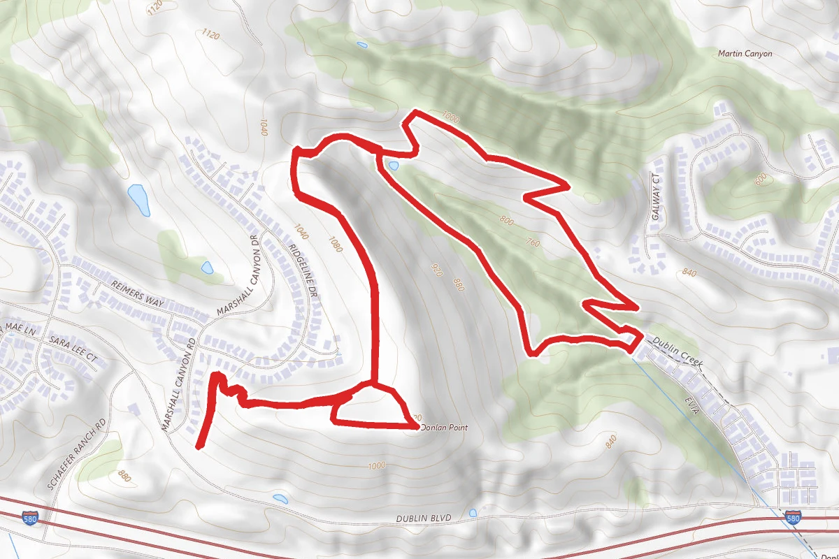
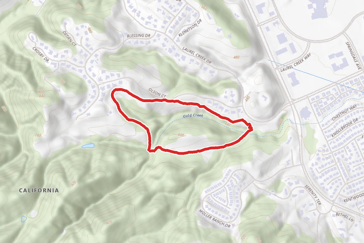
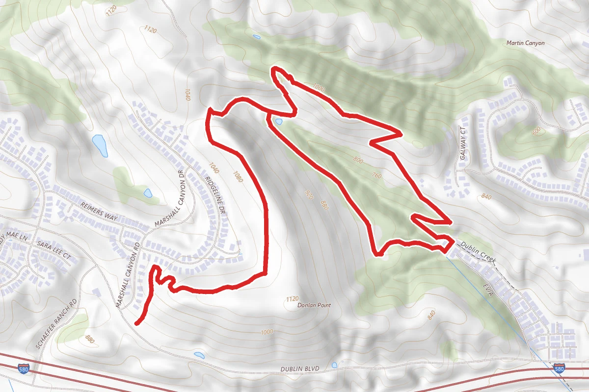
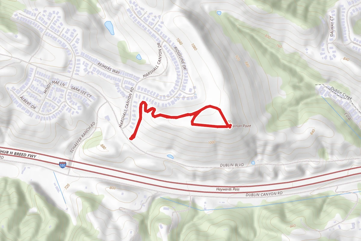
Calaveras Ridge Regional, Donlon Loop, and Calaveras Ridge Trails route map
ModerateLoop

Calaveras Ridge Regional, Donlon Loop, and Calaveras Ridge Trails

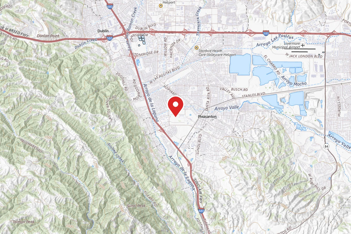
Dublin, California

4.0 mi

Distance

1,004 ft

Elev. Gain

1h 47m

Est. Time

Loop

Route Type

Moderate

Difficulty

About This Trail

Imported description
Park Features: With open valleys and steep slopes, Dublin Hills Regional Park offers an invigorating hike with spectacular views. Seasonal streams and springs provide habitat to animals such as Cooper’s hawks, great horned owls, coyotes, deer, and frogs. Keep an eye out for the golden eagle, a protected species, which uses the area for hunting. The park has ample parking and restrooms available on site. The hike affords many views of the growing, surrounding community. Trail Highlights: The Calaveras Ridge Trail begins near the Schaefer Ranch development and brings you to grassland areas grazed by cattle since the 1800s. The trail is completely exposed and doesn’t provide any shade, so dress accordingly. Though short, the trail is very steep in sections. Be sure to carry plenty of water. There are restrooms and a drinking fountain in the Donlon Point staging area parking lot. Trail Directions: From Donlon Point staging area, walk through the cattle gate onto Calaveras Ridge Regional Trail. Pass the #2 marker and veer right up the trail. Continue through the cattle gate and pass marker #3. At marker #4 for Donlon Point, stay left to continue on Calaveras Ridge. At marker #5, take a sharp right onto Donlon Loop Trail. Pass the pond on the right and veer left to reach marker #6. Continue on the trail. After .15 miles, turn right at marker #12 so the tree line is to your left. Walk until you see a sign facing away from you that reads “hikers only beyond this point.” Turn right at the sign and start down the single-track trail. Note there is no trail name or marker. At the bottom, the trail approaches residences. Watch for a gate. Go through the gate, turn right on McBride Lane, and continue to the end of the street. Pick up the fire road on your right for a steep ascent back to marker #6 to complete the Donlon Loop. You will pass through a gate, then pass marker #7 and turn right at the top of the trail. After completing the 1.45-mile loop, turn left at marker #6 and follow Calaveras Ridge back to the parking lot. Park Curfew: 5am - 10pm

Trail Conditions

Trail Conditions

Unknown

We have no current condition data for this trail. Check with the operator before you go, and submit a report below if you've been recently.

No recent condition reports. Be the first to share what you see on the trail.

Elevation Profile

Min:194 ft
Max:333 ft
306 ft
306 ft
194 ft240 ft287 ft333 ft0.0 mi1.0 mi2.0 mi3.0 mi4.0 mi

Trail Details

Route Type
Loop
Surface
Dirt

Official sources & verification

We don't have curated agency sources for this trail in our cache yet. Outdoors is not the permitting authority — confirm conditions, permits, and access with the managing agency before you go. If you know who manages this trail, please tell us.

Reviews

No reviews yet

Be the first to share your experience and help others plan their visit.

Legacy import — verify before navigating

Path geometry came from our pre-launch legacy database. Routes have not yet been re-verified against the operator and may differ from the actual trail.
Spot an error in our data on Calaveras Ridge Regional, Donlon Loop, and Calaveras Ridge Trails?