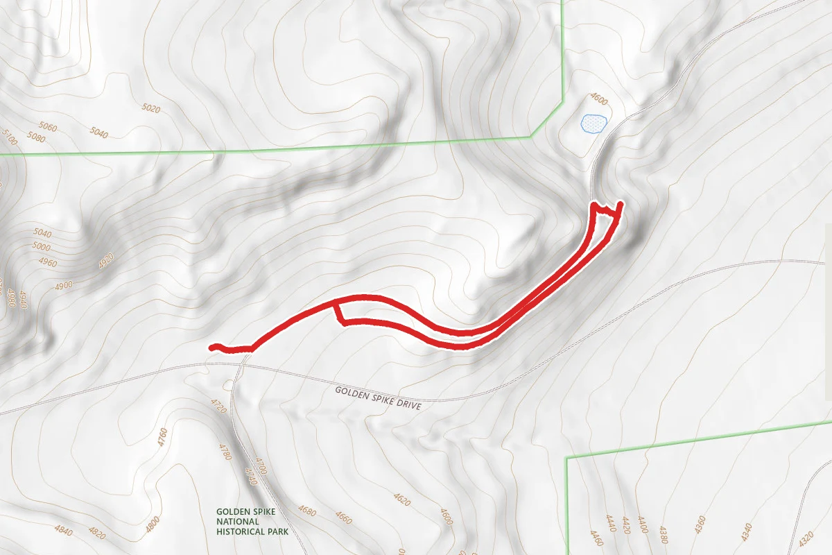
Big Fill Trail
1.4 mi
Distance
About This Trail
We don't publish a description for Big Fill Trail unless we can point you at the agency it came from. We don't have one yet. The planning figures above — distance, elevation gain, estimated time, route type — come from the source listed on this trail.
National Park Service manages this trail and is the authority for conditions, closures and route notes. See official sources below. Spot something we should add?
Trail Conditions
Trail Conditions
We have no current condition data for this trail. Check with the operator before you go, and submit a report below if you've been recently.
No recent condition reports. Be the first to share what you see on the trail.
Official sources & verification
Managed by National Park Service
Source of truth
- National Park Service unit page
Alerts, conditions, and the unit's plan-your-visit page.
Where it is
- Nearest town:
- Howell, UT · about 7 mi away
- County:
- Box Elder County, UT
- Jurisdiction:
- Golden Spike National Historical Park · National Park Service
Nearest town and county from U.S. Census Bureau place records and county boundaries.
Verify by phone or mail
- Address:6200 North 22300 West · Brigham City, UT · 84307
Reviews
No reviews yet
Be the first to share your experience and help others plan their visit.
Verified from NPS Public Trails
Nearby Trails
More trails near Big Fill Trail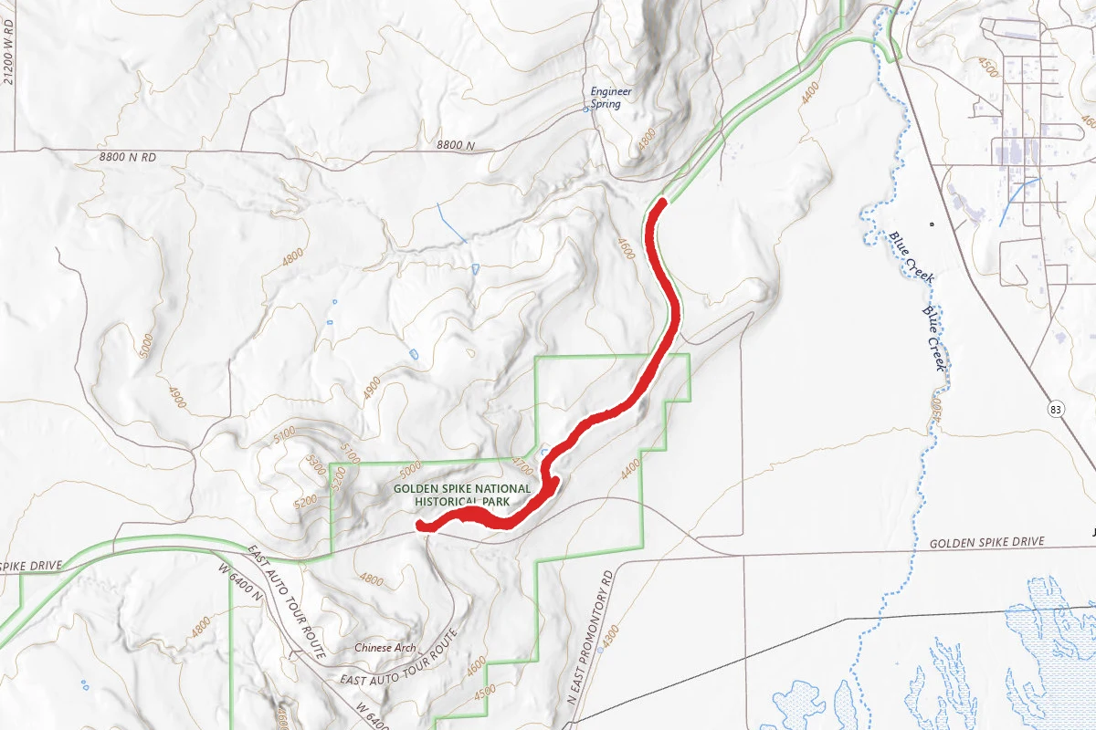
Big Fill Trail
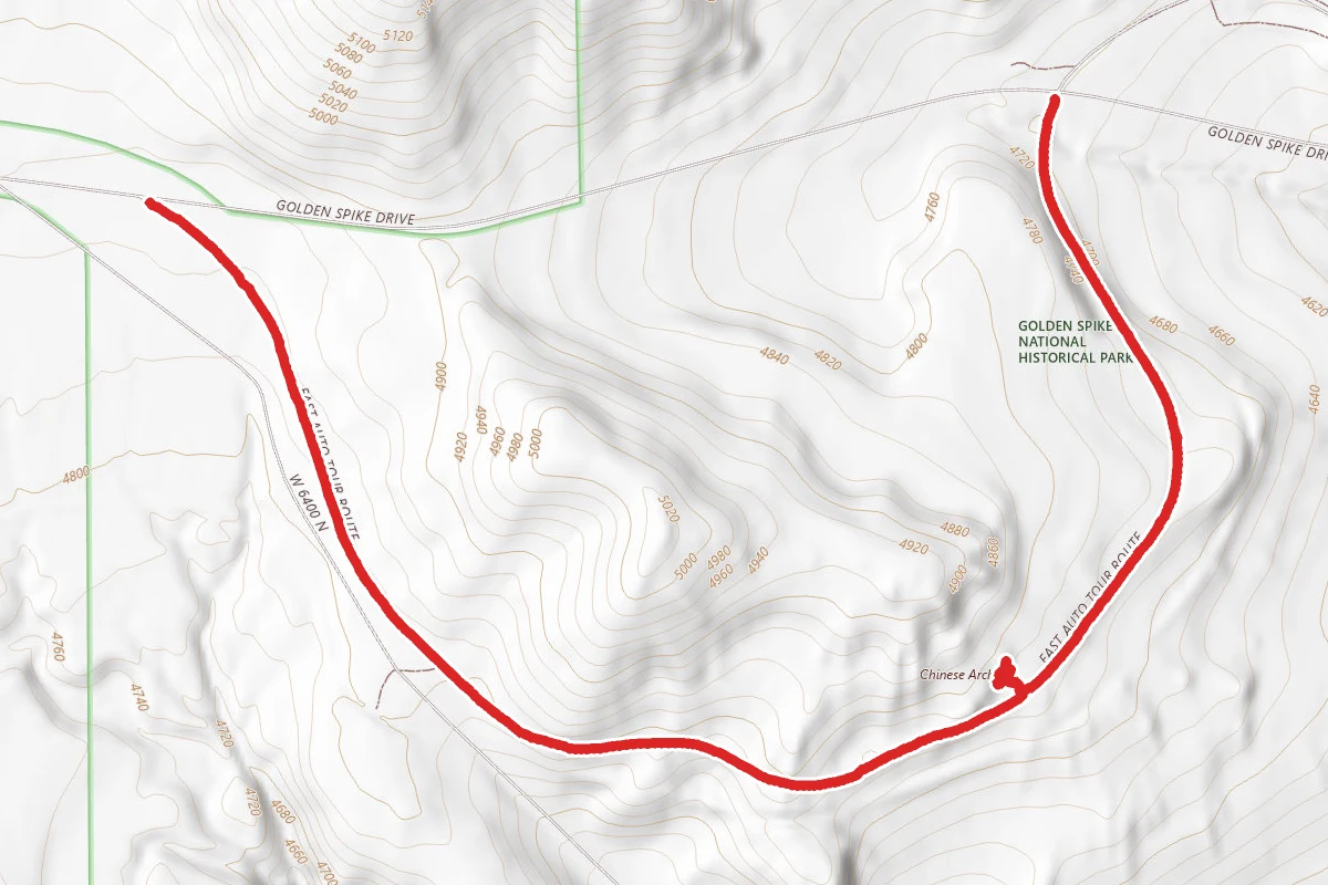
Chinese Arch
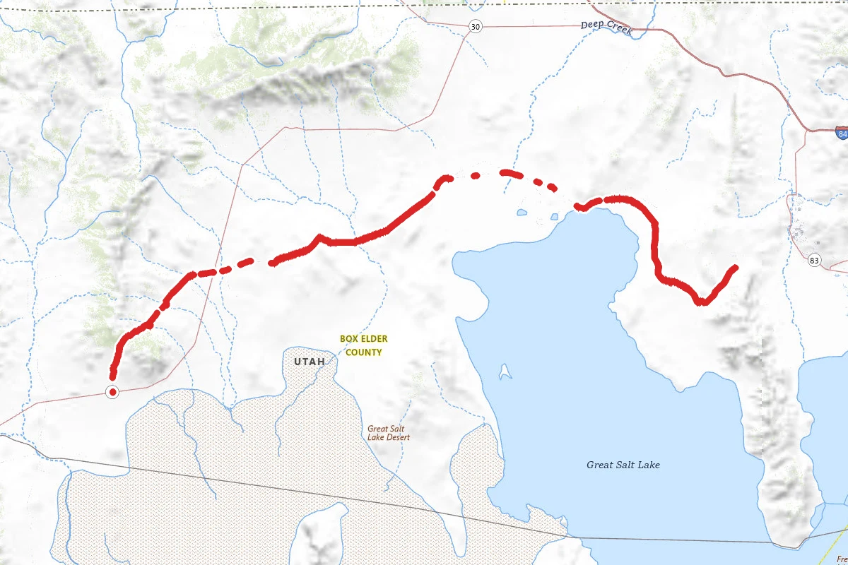
Transcontinental Railroad National Backcountry Byway
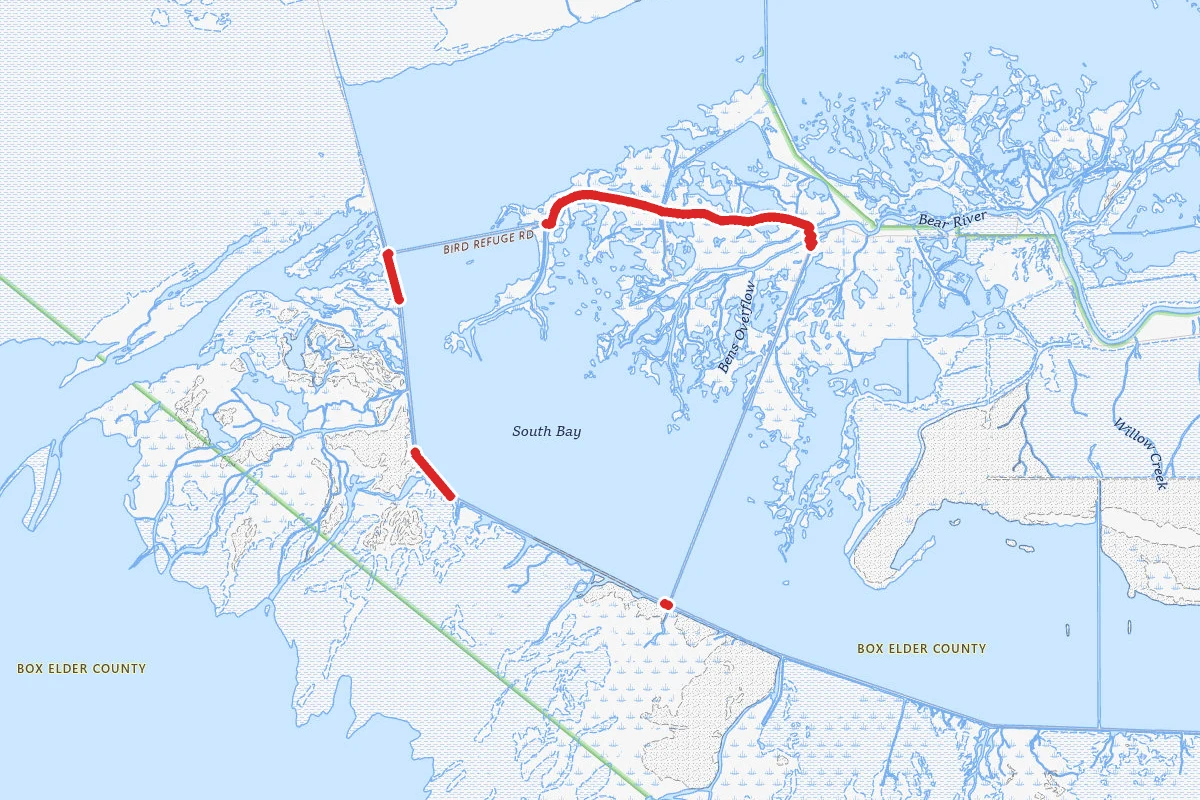
Bear River Bird Refuge Auto Tour
Bonneville Shoreline Trail
Bonneville Shoreline Trail
Similar length
Similar trails in Utah
Canyon Overlook Trail
Utah
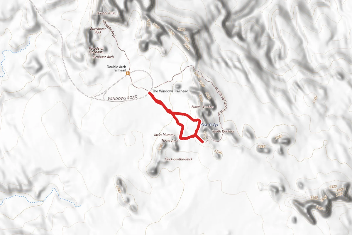
Windows Loop Trail
Utah
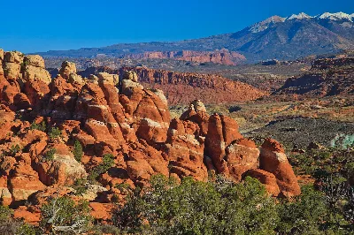
Fiery Furnace
Utah
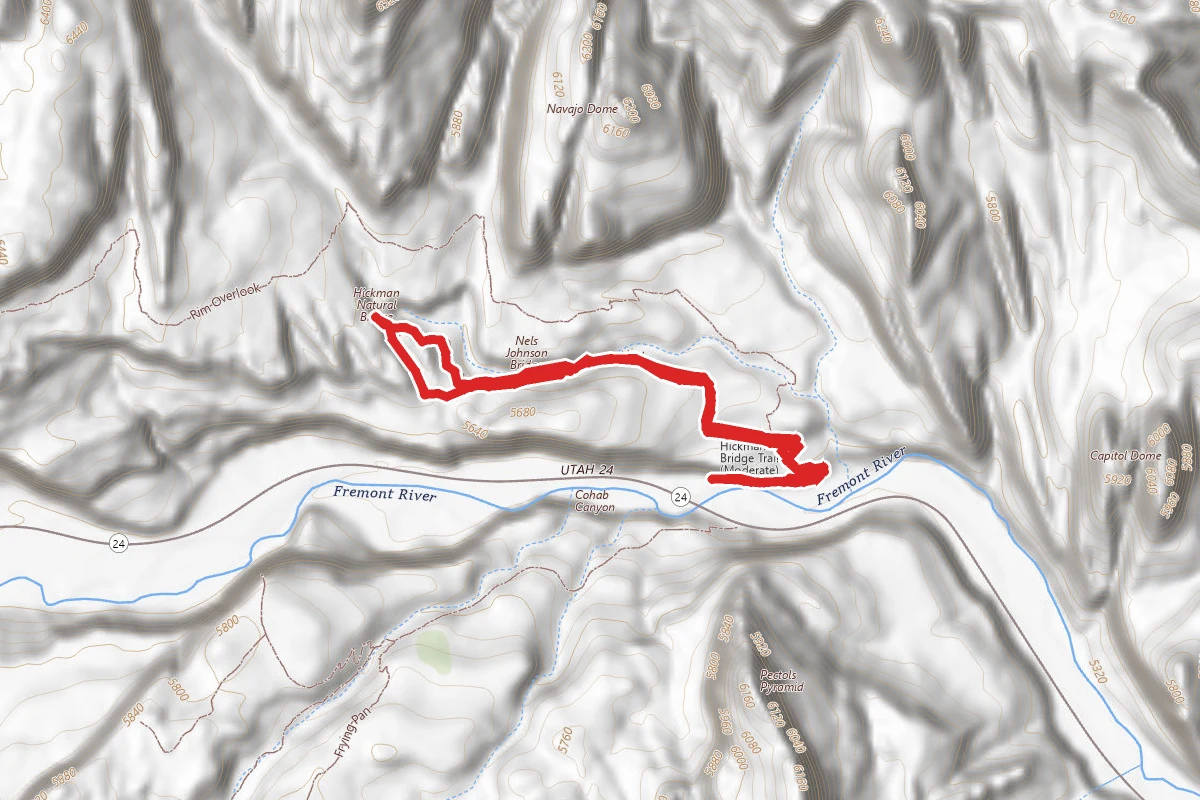
Hickman Bridge Trail
Utah
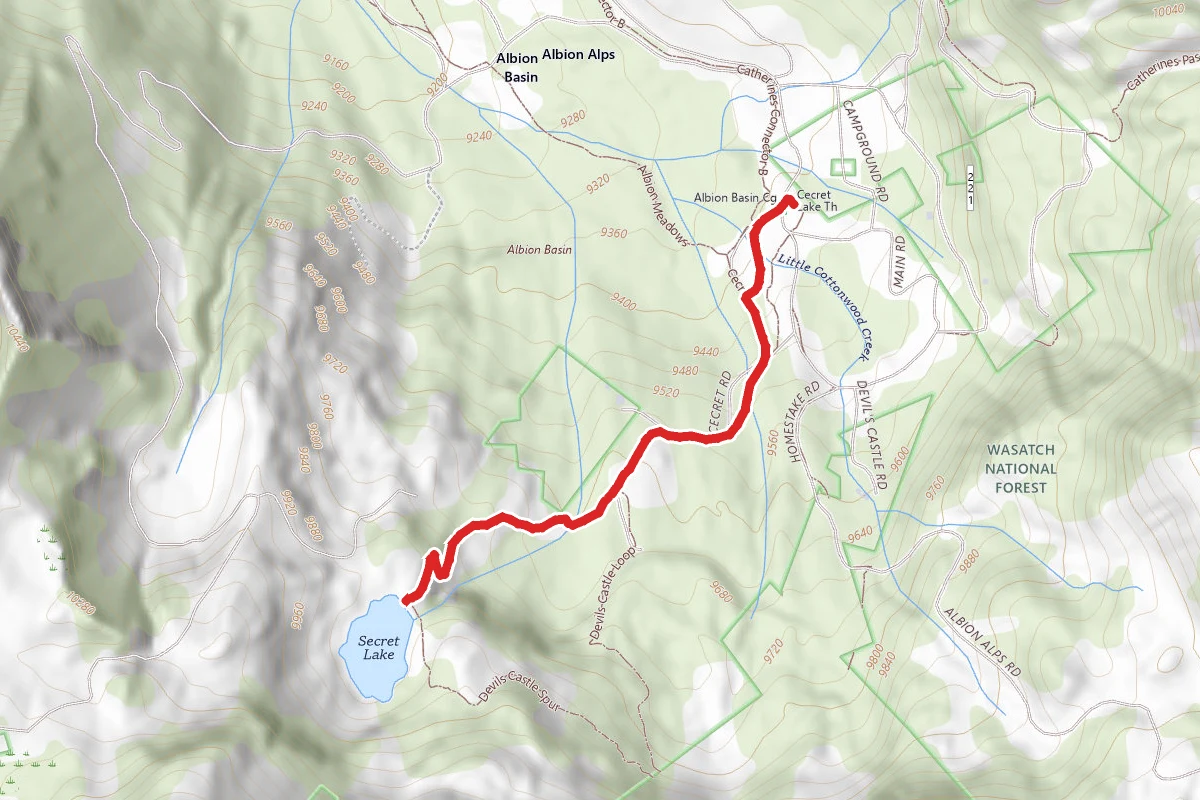
Cecret Lake Trail
Utah
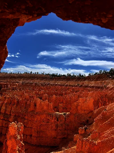
Queens Garden to Navajo Loop
Utah