Photo 1 / 4
State Park
Photo: DjembayzCC BY-SA 3.0Wikimedia Commons
Official sources & verification
Managed by Montana FWP
Source of truth
- Travelers' Rest — official page
Operator-published page with current visitor information.
Verify by phone or mail
- Operator:(406) 273-4253
About
Travelers' Rest State Park is situated along Lolo Creek in Montana and is recognized as a National Historic Landmark. The site is notable for its historical significance as a campsite used by the Lewis and Clark Expedition in 1805. The name "Travelers' Rest" reflects its role as a resting point for the explorers and is distinctive for its rich cultural heritage, which includes connections to Native peoples who inhabited the area long before European explorers arrived.
Visitors to Travelers' Rest can explore several walking trails, observe a variety of bird species, and engage with the park's museum and visitor center to learn more about the Lewis and Clark Expedition and the local Native American history. The park offers amenities for a comfortable visit, but it's advisable to check for parking availability and weather conditions before heading out. Given the potential for changes in access or regulations, it is important to verify hours, fees, and closures on the official state site before visiting.
Source: fwp.mt.gov
From Wikipedia
Travelers' Rest was a stopping point of the Lewis and Clark Expedition, located about one mile south of Lolo, Montana. The expedition stopped from September 9 to September 11, 1805, before crossing the Bitterroot Mountains, and again on the return trip from June 30 to July 3, 1806. Travelers' Rest is at the eastern end of the Lolo Trail. It was declared a National Historic Landmark in 1960 and added to the National Register of Historic Places in 1966. It is the only National Historic Landmark to have been declared without a precise location. The boundaries were revised following the submission of a detailed site nomination in 1978 by Blanche Higgins Schroer of the National Park Service, assisted by the Montana State Historic Preservation Office. The submission nominated 700 acres, of which all was east of Hwy 93.
Source: Wikipedia — text licensed CC BY-SA 4.0. Verify alerts and operational details with the managing agency below.
Reviews
No reviews yet
Be the first to share your experience and help others plan their visit.
Hunting in this park
This park overlaps hunting units
During hunting seasons, wear blaze orange and check regulations — see the Montana hunting page
Within ~100 miles
Parks near Travelers' Rest
Same state
More parks in Montana
Featured
Flathead National Forest
Montana
3,758 sq mi
ParkNational Forest
Featured
Glacier National Park
Montana
1,583 sq mi
ParkNational Park
Ackley Lake
Montana
ParkState Park
Anaconda Smoke Stack
Montana
ParkState Park
Anita Reservoir
Montana
ParkNat'l Recreation Area

Axolotl Lakes
Montana
ParkNat'l Recreation Area
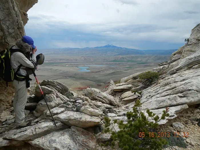
Bald Ridge Trail
Montana
ParkNat'l Recreation Area
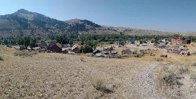
Bannack
Montana
ParkState Park
Spot an error in our data on Travelers' Rest?