No photos yet
1
Trails
Official sources & verification
Managed by Montana FWP
Source of truth
- Council Grove — official page
Operator-published page with current visitor information.
About
A day-use park in old ponderosa pine forest on the Clark Fork River, where the 1855 Hellgate Treaty was signed. You can walk to the river, watch birds and learn the history.
Source: fwp.mt.gov
From Wikipedia
Council Grove State Park is a history-oriented, public recreation area located eight miles (13 km) northwest of Missoula in Missoula County, Montana. The site of the park hosted the signing on July 16, 1855, of the Hellgate treaty between representatives of the United States government and members of the Bitterroot Salish, Pend d'Oreille, and the Kootenai to create the Flathead Indian Reservation. A monument commemorates the signing. The park is 187 acres (76 ha) and sits at an elevation of 3,198 feet (975 m). Natural features found in the park are its large, old-growth ponderosa pines, grassy fields, and cottonwood stand by the Clark Fork River. Its recreational features include hiking and fishing.
Source: Wikipedia — text licensed CC BY-SA 4.0. Verify alerts and operational details with the managing agency below.
Trails
All trails in Council Grove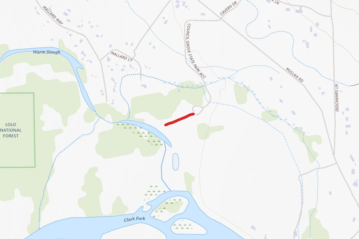
Reviews
No reviews yet
Be the first to share your experience and help others plan their visit.
Hunting in this park
This park overlaps hunting units
During hunting seasons, wear blaze orange and check regulations — see the Montana hunting page
Within ~100 miles
Parks near Council Grove
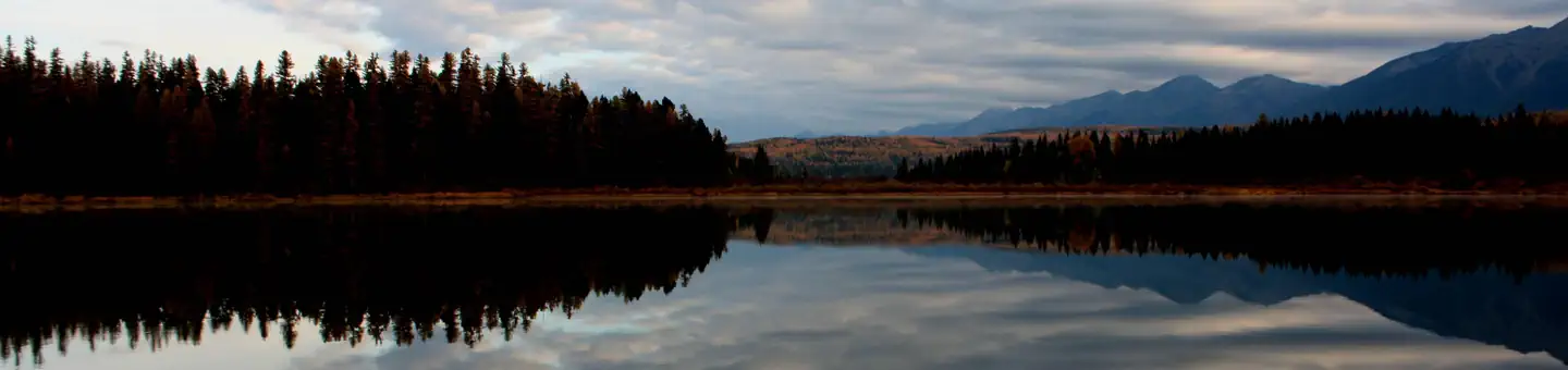
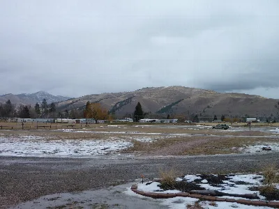
Same state
More parks in Montana
Featured
Flathead National Forest
Montana
3,758 sq mi
ParkNational Forest
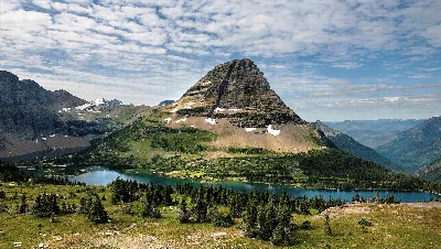
Featured
Glacier National Park
Montana
1,583 sq mi
ParkNational Park
Ackley Lake
Montana
ParkState Park

Anaconda Smoke Stack
Montana
ParkState Park
Anita Reservoir
Montana
ParkNat'l Recreation Area
Axolotl Lakes
Montana
ParkNat'l Recreation Area
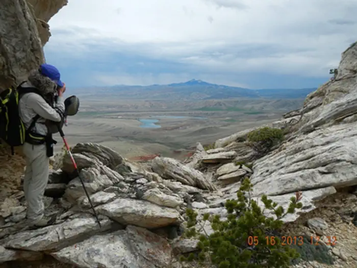
Bald Ridge Trail
Montana
ParkNat'l Recreation Area
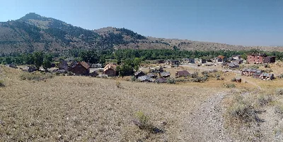
Bannack
Montana
ParkState Park
Spot an error in our data on Council Grove?