No photos yet
Official sources & verification
Managed by National Recreation Area
Source of truth
- Agency source page
The page our published rules and notes are derived from.
Managing agency
- National Recreation Area
Find offices, alerts, and current orders for this agency.
Verify by phone or mail
- Operator:406-247-7298
- Address:MT
About
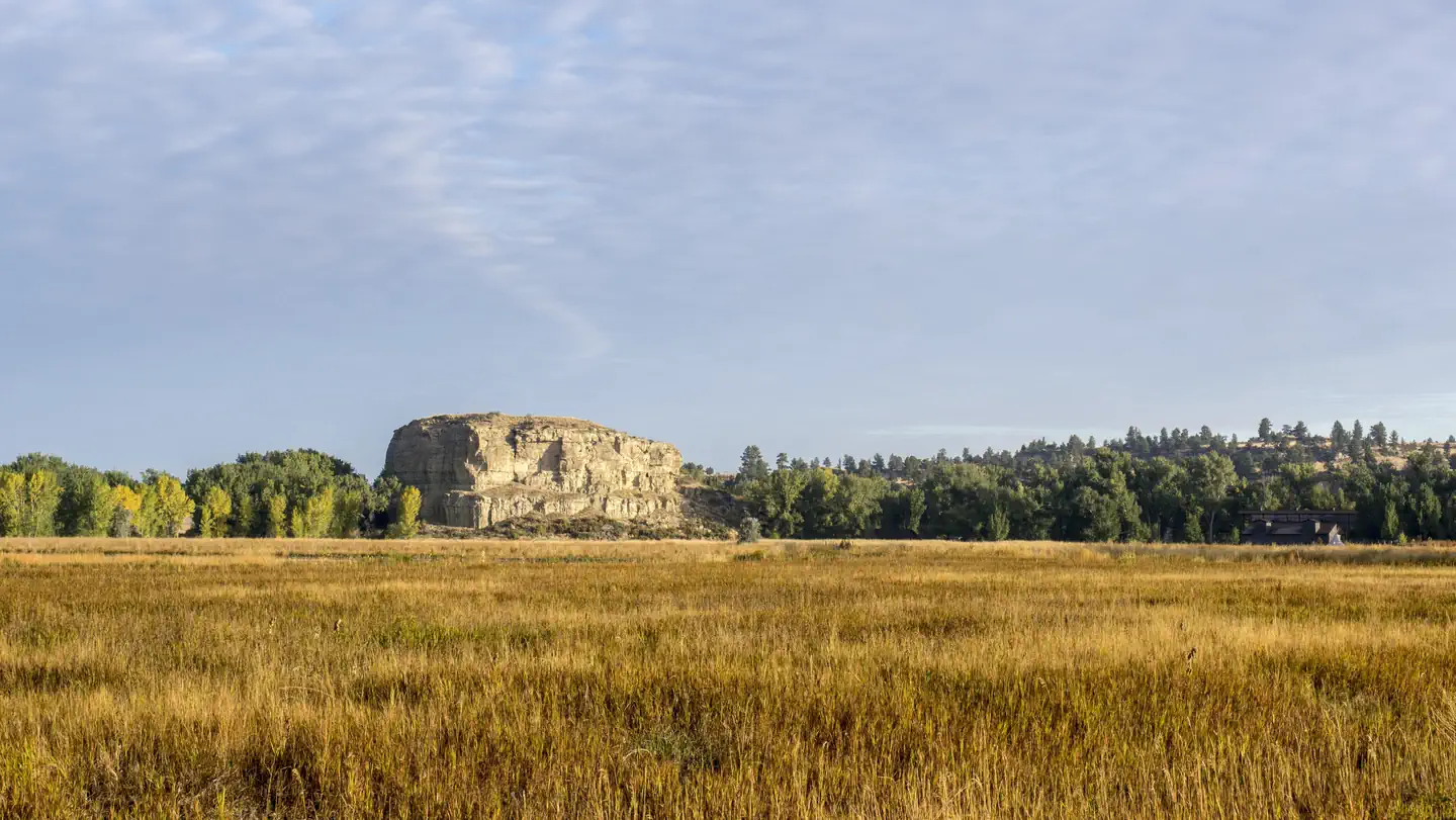
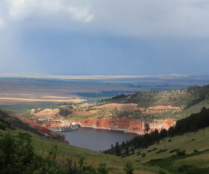
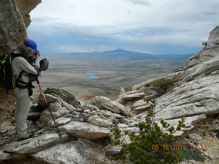
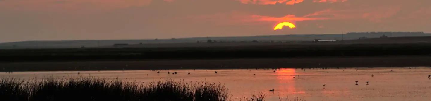
Imported descriptionAnita Dam and Reservoir, features of the Huntley Project, are located 6 miles southeast of Ballantine, Montana near Billings. This offstream storage dam was completed by the Civilian Conservation Corps in 1937. Water is released from Anita Reservoir into the Reservoir Canal which flows across Fly Creek to the vicinity of Pompeys Pillar . As the first representative of the United States in the Upper Missouri Valley, Captain Clark of the Lewis and Clark expedition scratched his name and the date of July 25, 1806 on Pompeys Pillar, a large rock landmark overlooking the Yellowstone River. The Crow Indian Reservation and the Little Bighorn Battlefield National Monument are nearby. The Anita Reservoir, with 32 surface acres and 2 miles of shoreline, offers seasonal opportunities for crappie, catfish, and largemouth bass. No facilities are available.
Source: recreation.gov
Reviews
No reviews yet
Be the first to share your experience and help others plan their visit.
Hunting in this park
Hunting is generally prohibited in this National Park Service unit
Verify current park-specific rules with the National Park Service before planning any hunt. See NPS regulations
Within ~100 miles
Parks near Anita Reservoir
Nat'l Recreation Area
Park
Pompeys Pillar National Monument and Visitor Center
Montana
Nat'l Recreation Area
Park
Shepherd Ah Nei SRMA
Montana
Nat'l Recreation Area
Park
Four Dances SRMA
Montana
National Monument
Park
Little Bighorn Battlefield National Monument
Montana
Nat'l Recreation Area
Park
Grass Lake National Wildlife Refuge
Montana
Nat'l Recreation Area
Park
Bighorn Canyon National Recreation Area
Wyoming
Same state
More parks in Montana
Featured
National Forest
Park
Flathead National Forest
Montana
3,758 sq mi

Featured
National Park
Park
Glacier National Park
Montana
1,583 sq mi

recreation area
Park
Axolotl Lakes
Montana
Nat'l Recreation Area
Park
Bald Ridge Trail
Montana
National Forest
Park
Beaverhead-Deerlodge National Forest
Montana
5,250 sq mi
Nat'l Recreation Area
Park
Benton Lake National Wildlife Refuge
Montana
Nat'l Recreation Area
Park
Benton Lake Wetland Management District
Montana
National Battlefield
Park
Big Hole National Battlefield
Montana
Spot an error in our data on Anita Reservoir?