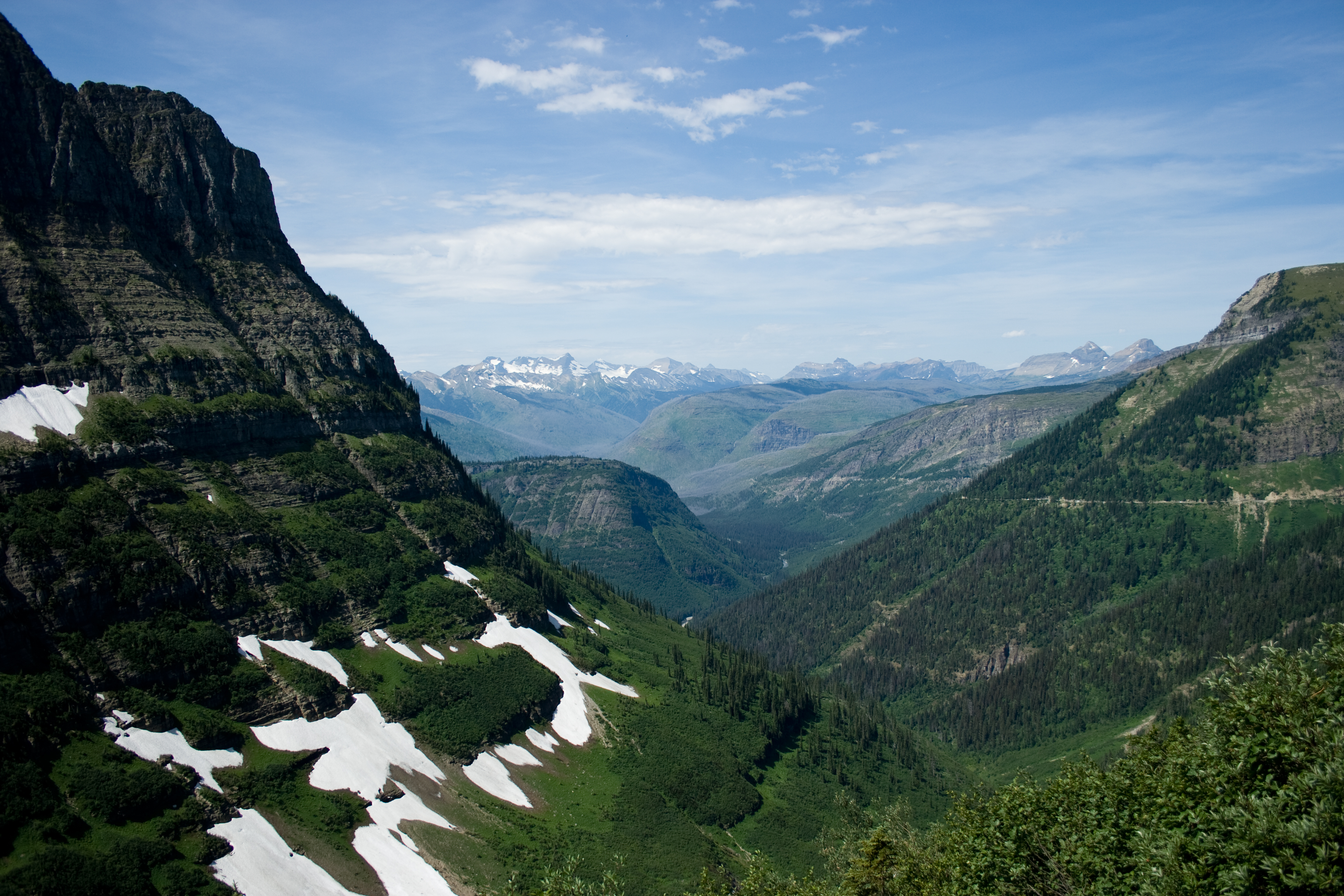
South Sister Climber Trail: the highest peak in Oregon you can hike to the top of
South Sister is the third-highest mountain in Oregon and the highest you can reach on a trail. The climber trail runs from Devils Lake past Moraine Lake and up loose red cinder to the crater rim and Teardrop Pool. What each stretch is like, the permit you need, and how to plan the day.

South Sister is the tallest of Oregon's Three Sisters and the third-highest peak in the state. Mount Hood and Mount Jefferson are higher, but both are technical climbs. South Sister has a trail to the top, so it is the highest summit in Oregon most hikers can reach on foot. The route starts at the Devils Lake Trailhead on the Cascade Lakes Highway and climbs the mountain's south ridge to the crater rim.
We measured the mapped route from the trailhead to the summit at 5.76 miles one way, climbing from about 5,450 feet to just over 10,300 feet, a gain of nearly 4,900 feet. A published guidebook figure puts the round trip at 12.6 miles, from 5,446 feet at the trailhead. Published summit elevations range from 10,358 to 10,363 feet, so treat anything past 10,300 as approximate.
Through the forest to Moraine Lake
The first stretch is forest. The trail crosses the highway, climbs steadily through the trees, and comes out onto an open, sandy bench with Moraine Lake below you. This flat section is the easiest walking of the day, and a good place to turn around if you only want a shorter hike.
The climb
Past the bench the trail turns uphill and stays that way. Much of the climb is on loose red and gray cinder, where every step slides back a little. Higher up you pass a small glacial lake at the foot of the Lewis Glacier, one of five glaciers around the summit. The push up to the crater rim stays steep the whole way.
The crater rim and Teardrop Pool
At the top you walk along the rim of the summit crater. The crater holds an icecap, and its meltwater forms Teardrop Pool, which averages about 150 feet long and 50 feet wide at nearly 10,200 feet. The pool changes shape and size from year to year, and it has been sinking as the ice in the crater shrinks. The summit is on the rim, a short walk around from where you top out.
The view
From the summit, Middle Sister and North Sister are right next to you to the north. To the east is Broken Top, with the Green Lakes below it. The standard route is busy: it is popular in August and September, with up to 400 people on it each day, so expect company.
The aerial imagery in our video was captured in September 2022, late in the season, when most of the snow on the route had melted.
What to bring
Bring warm layers, rain gear, sun protection, food and more water than you think you need. Poles help on the cinder, in both directions. Pack out everything you carry in.