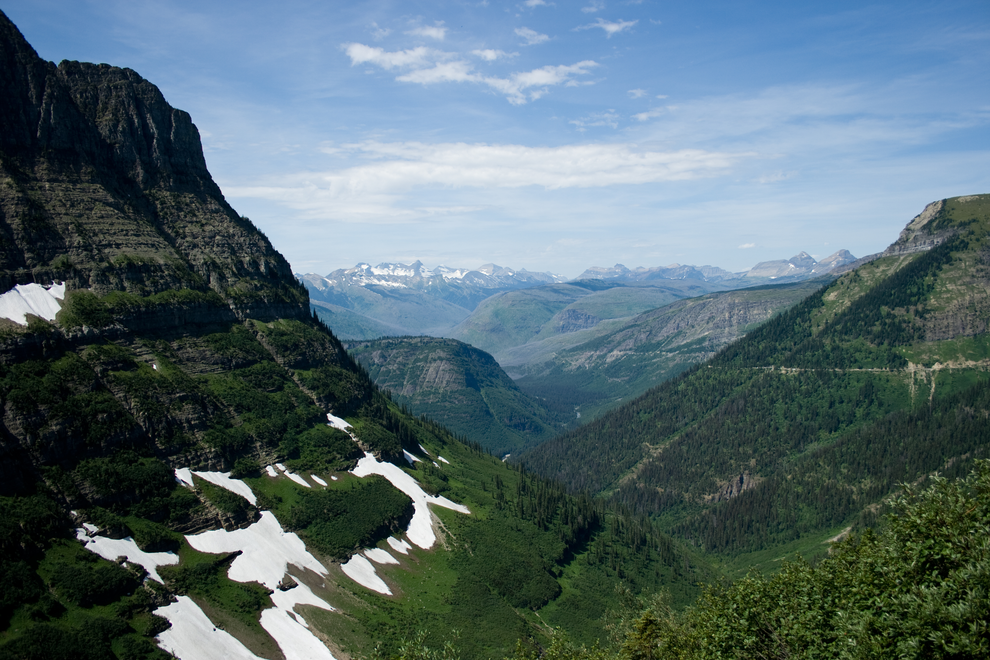
The South Kaibab Trail in the Grand Canyon: Ooh Aah Point, Skeleton Point and the Tipoff
The South Kaibab Trail drops down a ridge from the South Rim with no water and very little shade. What each stop is like from Ooh Aah Point to the Tipoff, why the Tipoff is as far as you can go after the August flood, and how to get to a trailhead with no parking.

The South Kaibab Trail leaves the South Rim near Yaki Point and drops straight down a ridge into the Grand Canyon. There is no water on it and very little shade. Right now it is open from the trailhead to the Tipoff, 4.4 miles down, and closed below that after the August 29 flash flood.
The National Park Service calls it "the only trail at Grand Canyon National Park that so dramatically holds true to a ridgeline descent." The views open up early and keep opening, because nothing walls you in.
The route, in order
The rim switchbacks. The trail starts with a set of tight switchbacks on a north-facing slope. In winter this is where you will find ice, sometimes for days or weeks after a storm.
Ooh Aah Point. After the switchbacks the trail crosses a west-facing slope to the top of the Coconino Sandstone and Ooh Aah Point. The park calls it the first panoramic view of the canyon, and it is a fine place to turn around on a short walk.
Cedar Ridge. From Ooh Aah Point the trail moves onto the main ridgeline and follows it down to Cedar Ridge, 1.5 miles from the rim at 6,120 feet. There are pit toilets here, but no water and no emergency phone.
Skeleton Point. Past Cedar Ridge the trail runs below O'Neill Butte to Skeleton Point, 3 miles from the rim at 5,220 feet. The park says Skeleton Point is "the maximum distance recommended for a day hike." A short spur west from the point gives you your first view of the Colorado River.
Below Skeleton Point. The trail goes straight off the end of the point. This stretch was blasted out of the limestone cliffs, and the park says it is where you will feel "the most dramatic sense of exposure." Then it switchbacks quickly down to the Tonto Platform.
The Tipoff. The Tipoff is 4.4 miles from the rim at 4,000 feet, which puts it 3,260 feet below the trailhead. There are pit toilets and an emergency phone, but no water. The Tonto Trail junction is about 50 feet up-trail from the toilets. Everything below this point is closed.
What's open after the flood
An August 29 flash flood did serious damage in Bright Angel Canyon and around Phantom Ranch. On September 3 the park closed the South Kaibab Trail below the Tipoff. As of October 11, the park's hiking page lists the South Kaibab Trail open from the trailhead to the Tip-Off, and the Tonto Trail open between the Tip-Off and Havasupai Gardens.
Still closed: Phantom Ranch and Bright Angel Campground, the Black and Silver bridges over the river, the River Trail east of the River Resthouse, and the whole North Kaibab Trail. The park has given no date for reopening. So for now the Tipoff is as far down this trail as you can go.
Water, heat and the climb back
Everything you drop, you climb back up. Going to the Tipoff and back is 8.8 miles, with a 3,260-foot climb back to the rim. That is farther than the park recommends for a day hike. Skeleton Point and back is 6 miles.
Carry all your water. There is none on the trail, and the park has turned off its inner canyon water. As of October 11 there is drinking water in a large black tank by the restrooms at the trailhead. In hot weather the park says to carry at least 4 liters.
From May to September the park says to stay off the trail between 10 a.m. and 4 p.m., and it does not recommend hiking up this trail in hot weather. Start early.
Getting to the trailhead
You can't park at the trailhead. Take the Hiker Express shuttle, which picks up at Bright Angel Lodge and the Backcountry Information Center, or the Kaibab Rim shuttle (the orange line) from the Grand Canyon Visitor Center. Shuttle times change by season, so check them before you go.
A little history
The park service built the South Kaibab Trail starting in 1924 to give visitors a way around the Bright Angel Trail. Ralph Cameron owned the Bright Angel Trail and charged a toll to use it, and he fought dozens of legal battles over several decades to keep it. The Santa Fe Railroad had already built the Hermit Trail, starting in 1911, for the same reason.
The short version
- Start: South Kaibab Trailhead near Yaki Point, 7,260 feet. Shuttle only, no parking.
- Ooh Aah Point: the first big view.
- Cedar Ridge: 1.5 miles, 6,120 feet.
- Skeleton Point: 3 miles, 5,220 feet. The farthest the park recommends for a day hike.
- The Tipoff: 4.4 miles, 4,000 feet. Closed below here after the August 29 flood.
- Water: none on the trail. Bring all of it.
- Timing: start early, and stay off the trail from 10 a.m. to 4 p.m. in summer.
Image credits
Lead image: the South Kaibab Trail below the rim, by Alan Levine on Flickr, CC BY 2.0, via Wikimedia Commons.