BLM
Black Canyon of the Gunnison BLM
Montrose, CO
Operating window: May 1 – Oct 31 · Verify current status with the operator before traveling
Pricing varies — check with the operator
Verify with the local BLM field office
BLM site amenities, road access, and fire restrictions are managed by the local field office. Conditions change with weather and season — confirm before traveling.
Pricing
Pricing varies — check with the operator7,200 ft
Elevation
0.0
0 Reviews
Official sources & verification
Managed by Bureau of Land Management
Managing agency
- Bureau of Land Management
Find offices, alerts, and current orders for this agency.
Verify by phone or mail
- Address:Montrose, CO
About
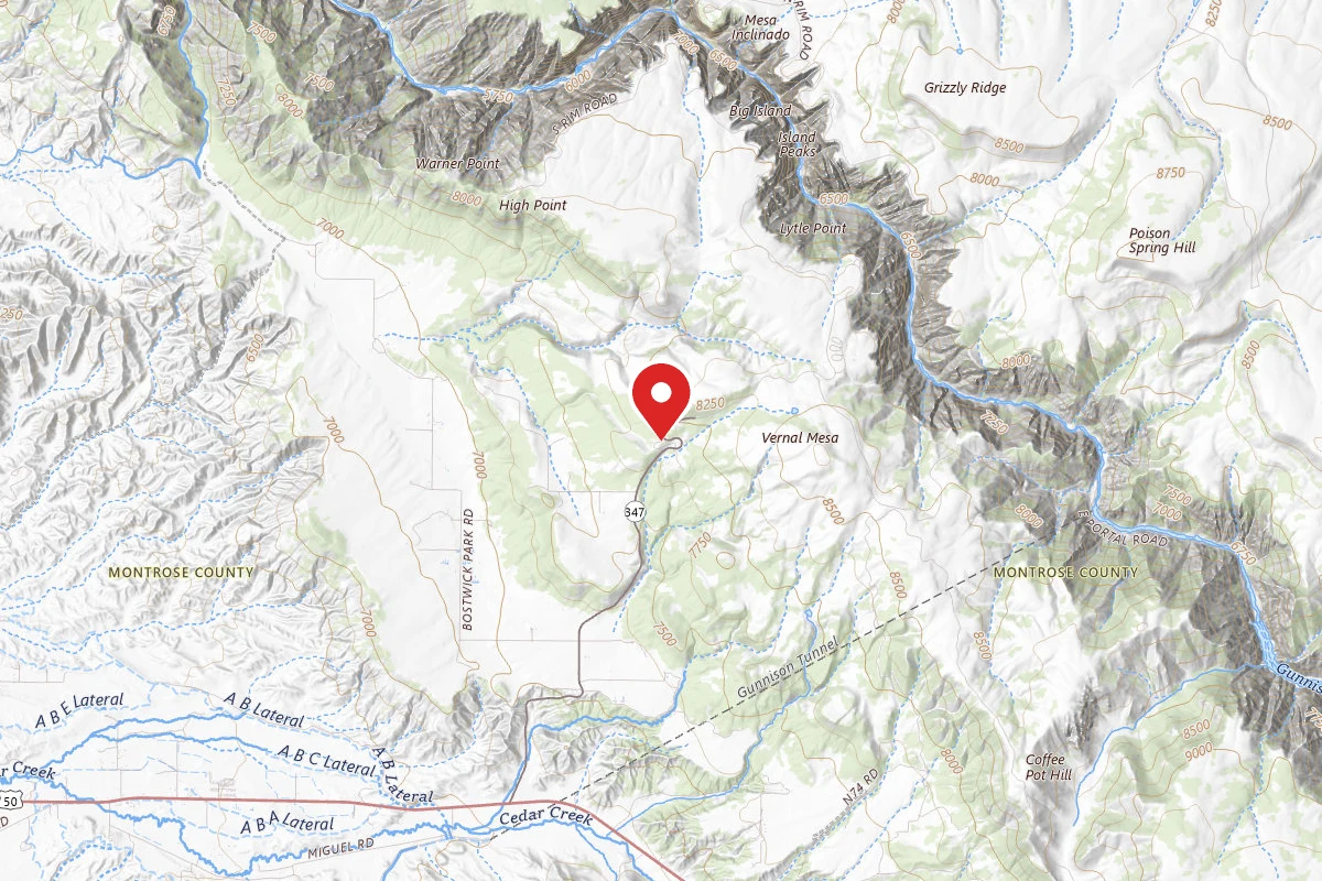
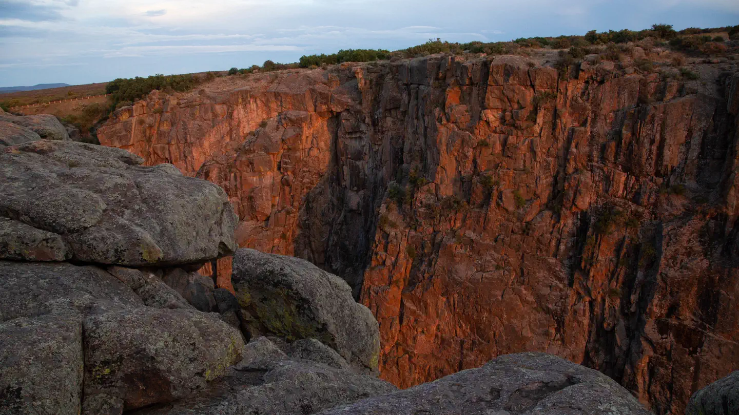
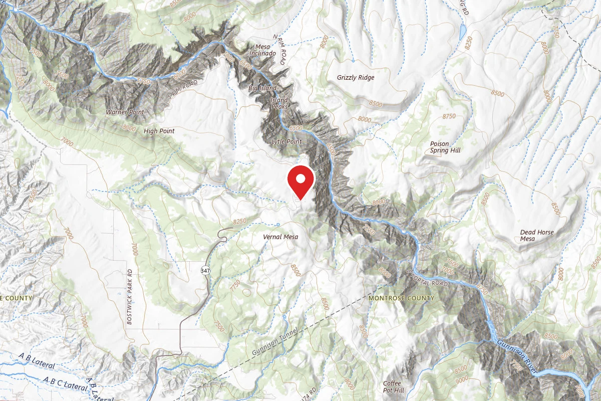
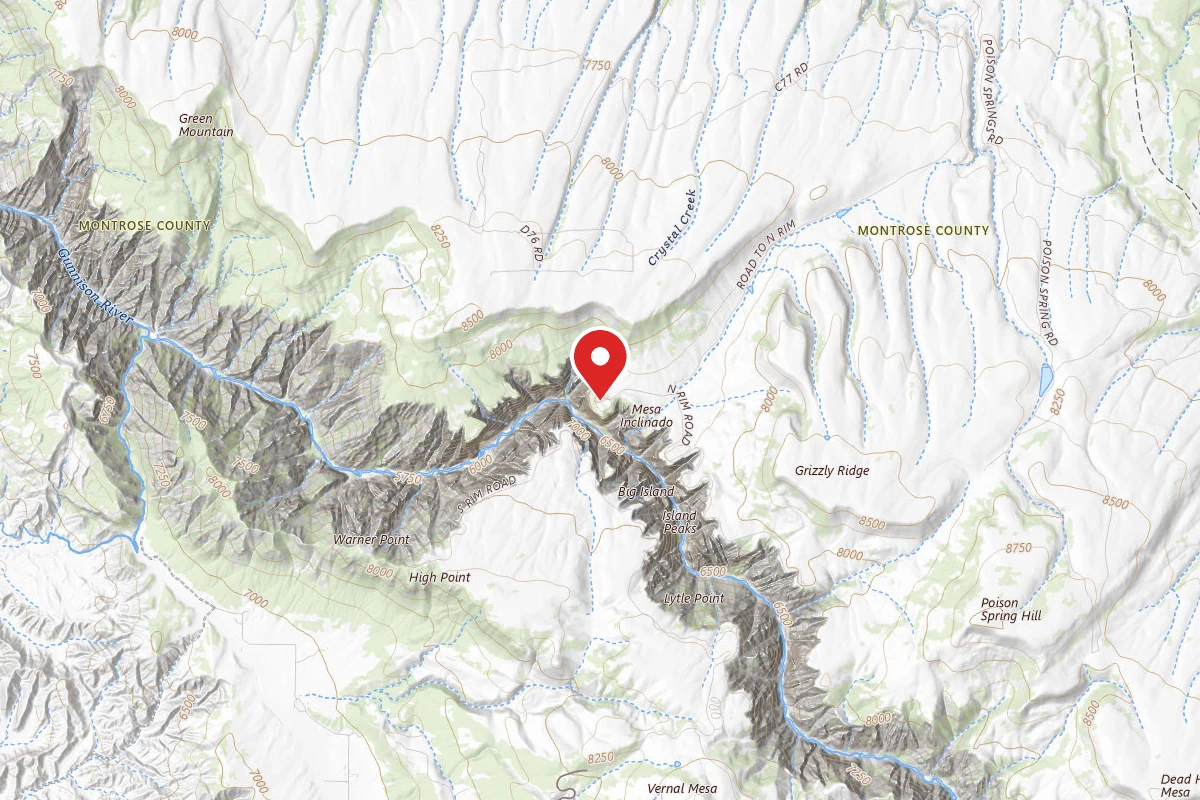
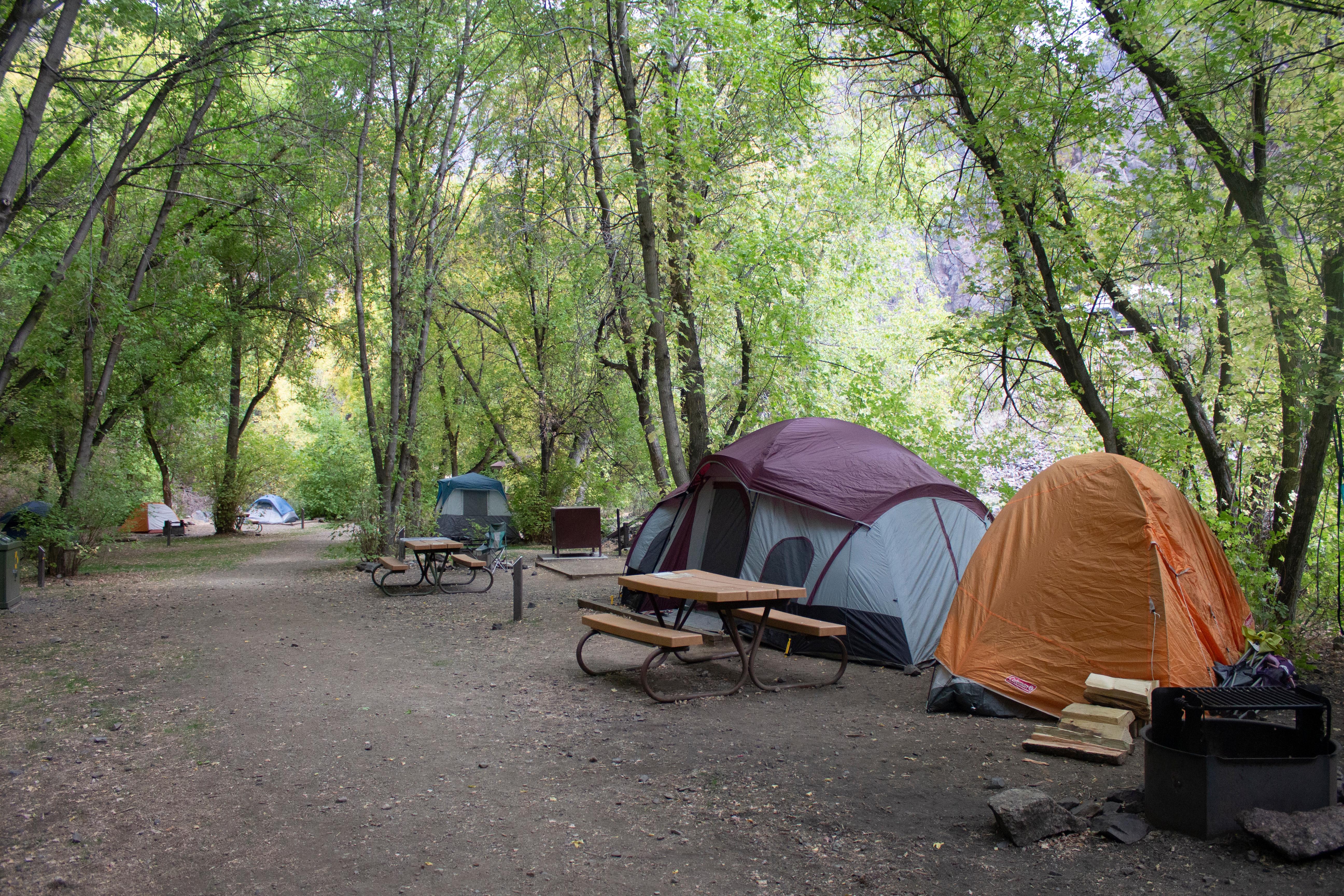
Free dispersed camping on BLM land along Highway 347 near the south entrance of Black Canyon of the Gunnison National Park. Campsites appear along dirt pullouts off the hairpin turn before the park entrance. Juniper and oak landscape with dramatic canyon views.
Reviews
No reviews yet
Be the first to share your experience and help others plan their visit.
Campground Rules
- Campfires generally permitted — verify current fire restrictions before lighting
Within ~30 miles
Trails near Black Canyon of the Gunnison BLM

Pulpit Rock Trail
Colorado
Difficulty: Easy0.4 mi56 ftelevation gain
Trail
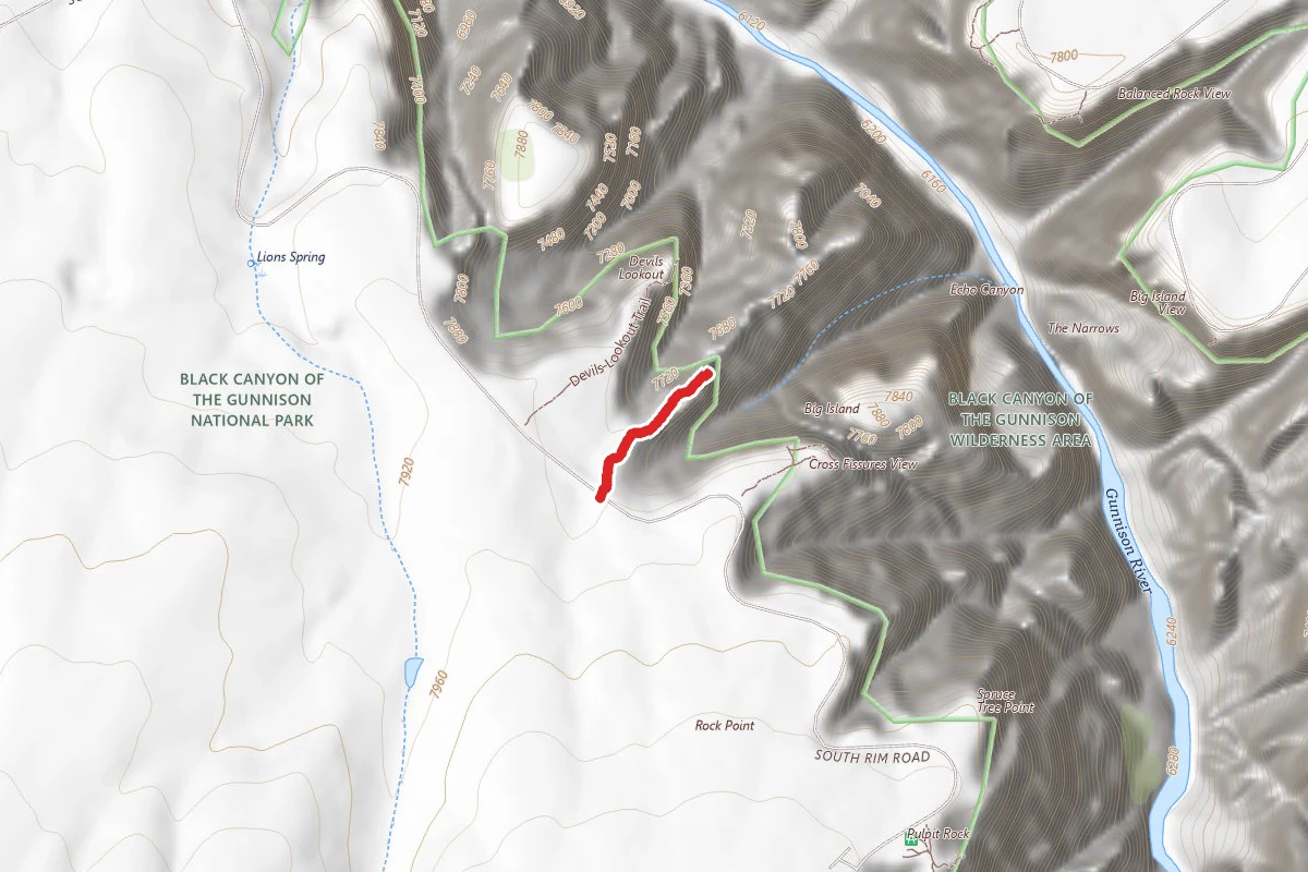
Rock Point Trail
Colorado
Difficulty: Easy0.4 mi161 ftelevation gain
Trail
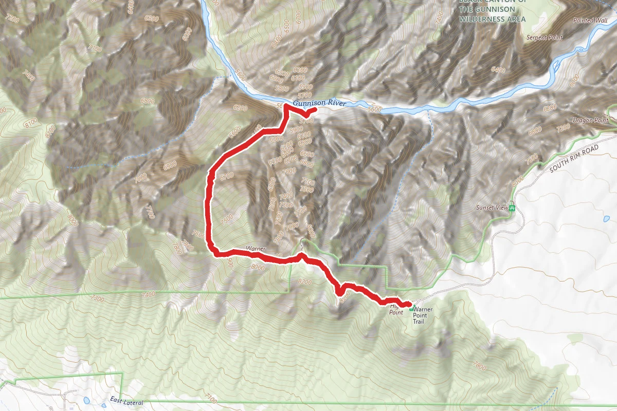
Warner Route
Colorado
Difficulty: Difficult4.2 mi3,363 ftelevation gain
Trail
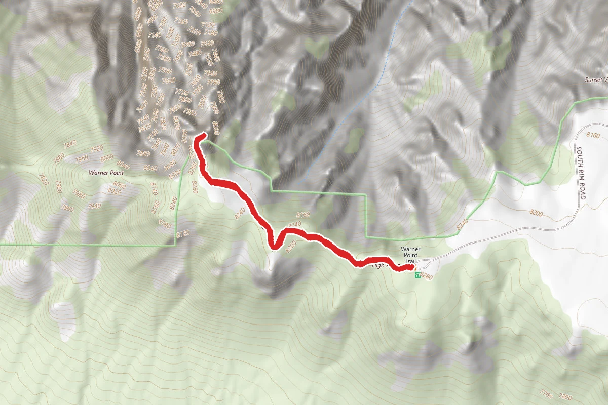
Warner Point Nature Trail
Colorado
Difficulty: Moderate1.5 mi548 ftelevation gain
Trail
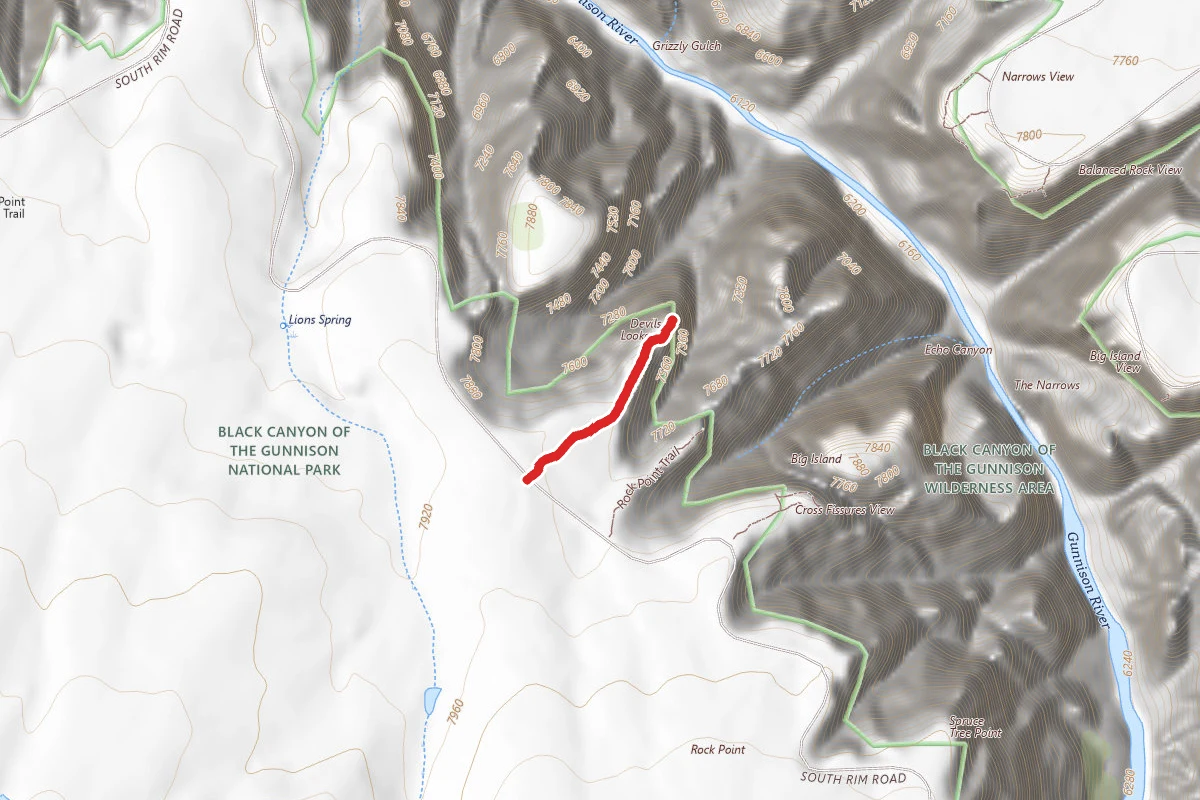
Devils Lookout Trail
Colorado
Difficulty: Easy0.5 mi266 ftelevation gain
Trail
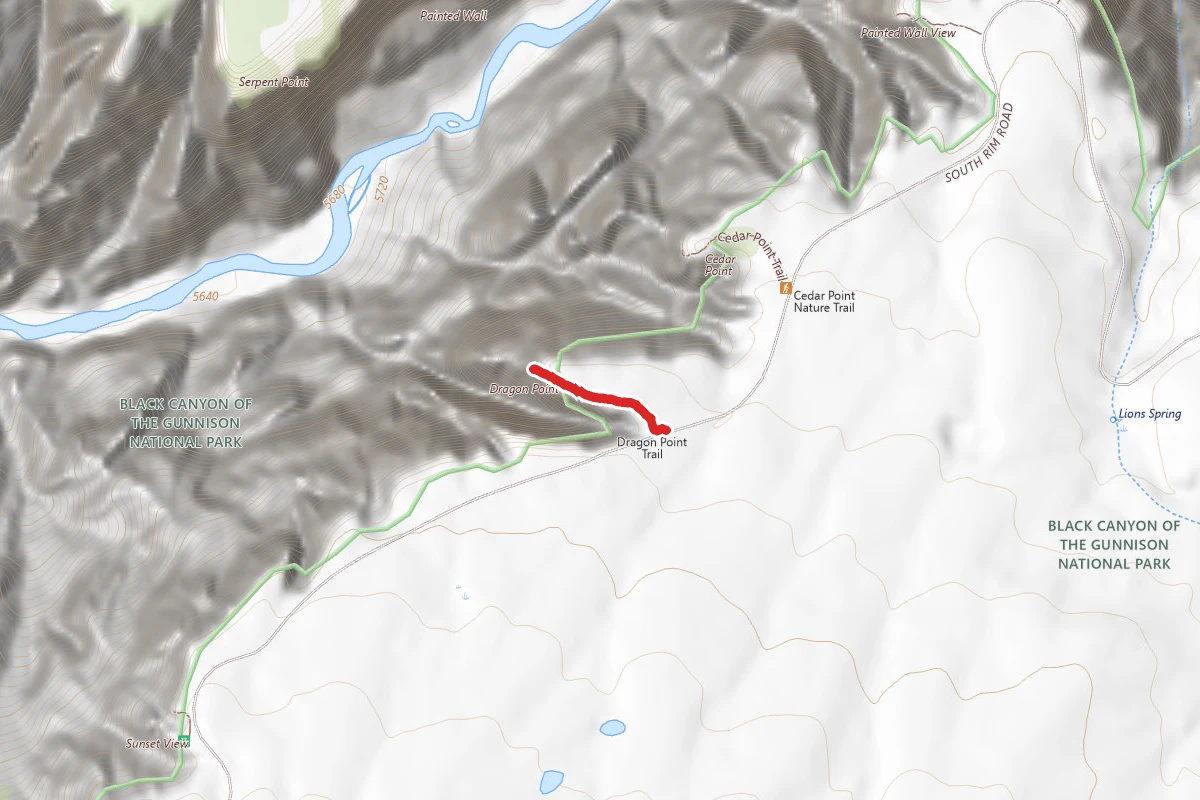
Dragon Point Trail
Colorado
Difficulty: Easy0.4 mi121 ftelevation gain
Trail
Hunt context
Hunting units around this campground
During hunting seasons, wear blaze orange and check regulations — see the Colorado hunting page
Nearby Campgrounds
Spot an error in our data on Black Canyon of the Gunnison BLM?