
Pulpit Rock Trail
0.4 mi
Distance
56 ft
Elev. Gain
Out & Back
Route Type
Easy
Difficulty
About This Trail
Pulpit Rock Trail is an out-and-back trail in Black Canyon of the Gunnison National Park, managed by the National Park Service, in Montrose County, Colorado. It is 0.4 miles long and gains 56 feet. The surface is dirt. The nearest town is Montrose, Colorado, about 8 miles away in a straight line.
From the trail data on this page. For conditions and closures, see official sources.
Trail Conditions
Trail Conditions
We have no current condition data for this trail. Check with the operator before you go, and submit a report below if you've been recently.
No recent condition reports. Be the first to share what you see on the trail.
Trail Details
- Route Type
- Out & Back
- Surface
- Dirt
Official sources & verification
Managed by National Park Service
Source of truth
- National Park Service unit page
Alerts, conditions, and the unit's plan-your-visit page.
Where it is
- Nearest town:
- Montrose, CO · about 8 mi away
- County:
- Montrose County, CO
- Jurisdiction:
- Black Canyon of the Gunnison National Park · National Park Service
Nearest town and county from U.S. Census Bureau place records and county boundaries.
Verify by phone or mail
- Operator:970-641-2337
- Address:South Rim Visitor Center, 9800 Highway 347 · Gunnison, CO · 81401
Reviews
No reviews yet
Be the first to share your experience and help others plan their visit.
Verified from NPS Public Trails
Nearby Trails
More trails near Pulpit Rock Trail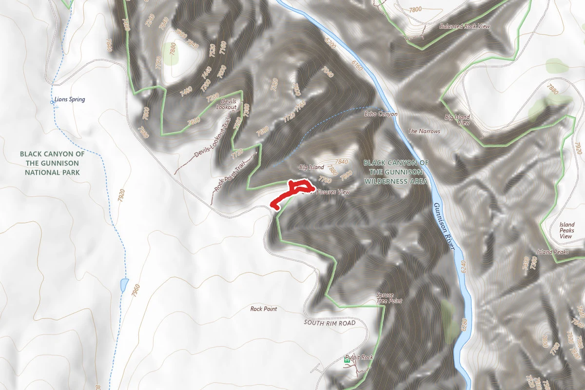
Cross Fissures Trail
0.4 mi away
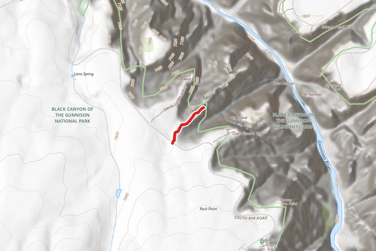
Rock Point Trail
0.5 mi away
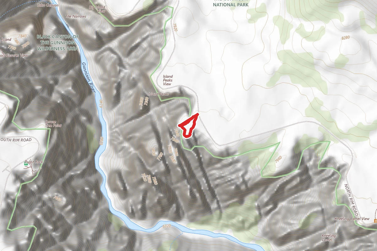
Island Peaks Trail
0.6 mi away
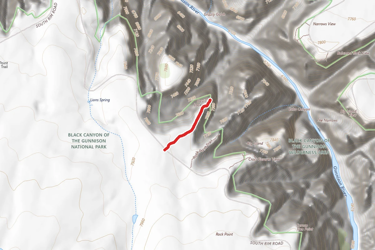
Devils Lookout Trail
0.6 mi away
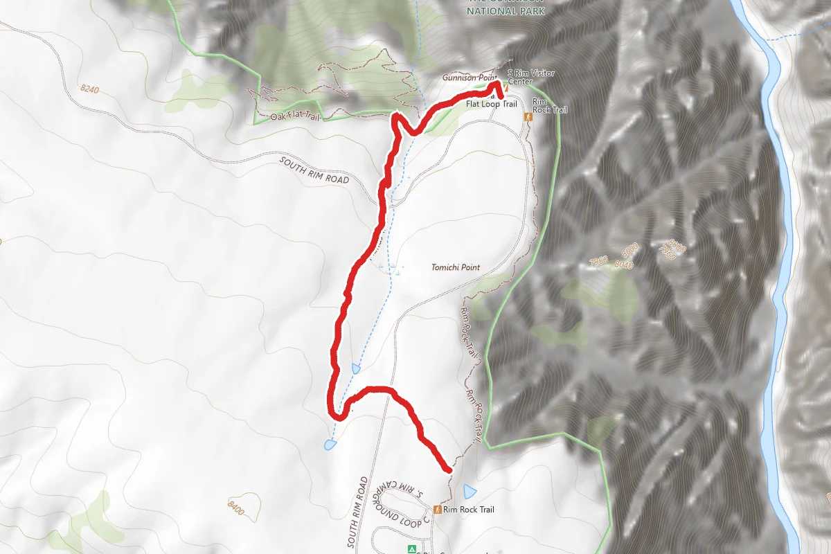
Uplands Trail
1.0 mi away
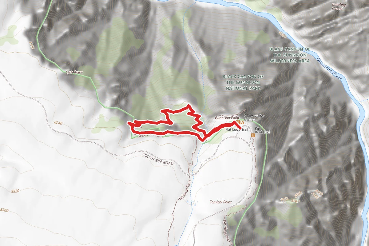
Oak Flat Loop Trail
1.0 mi away
In this park
Other trails in Black Canyon of the Gunnison National Park
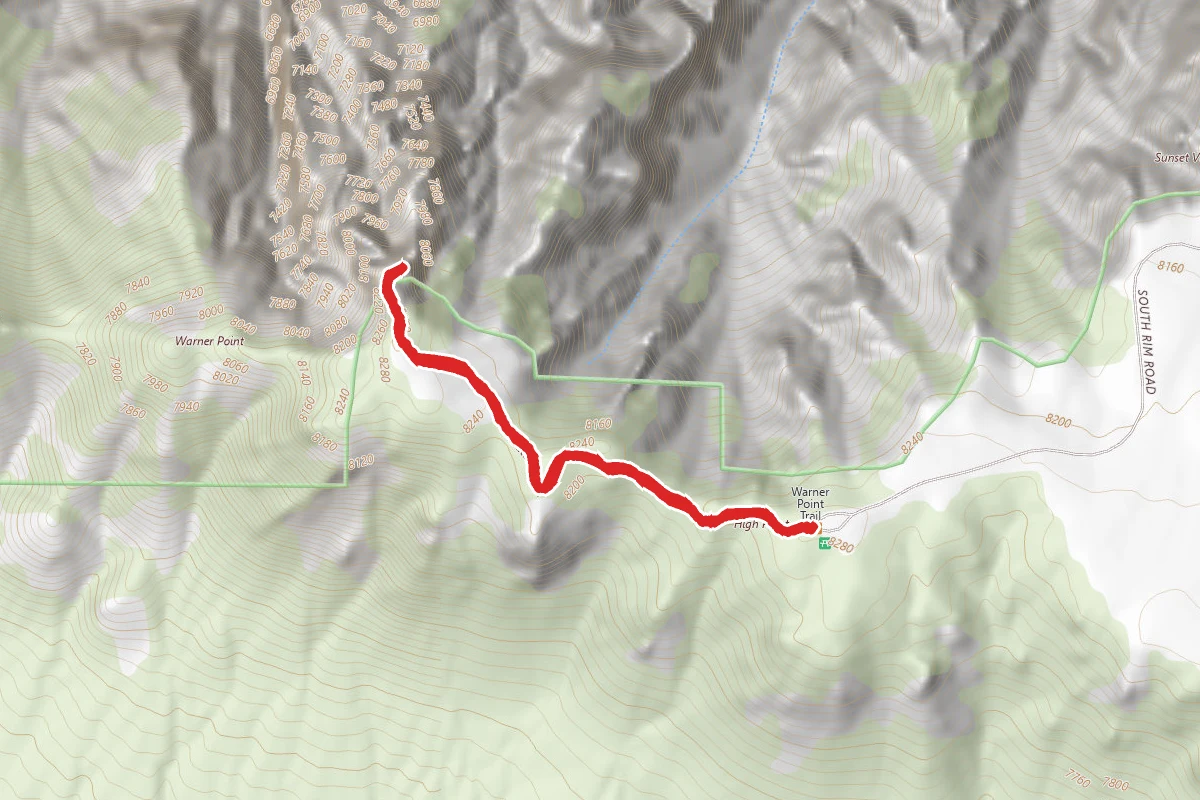
Warner Point Nature Trail
Colorado
Oak Flat Loop Trail
Colorado
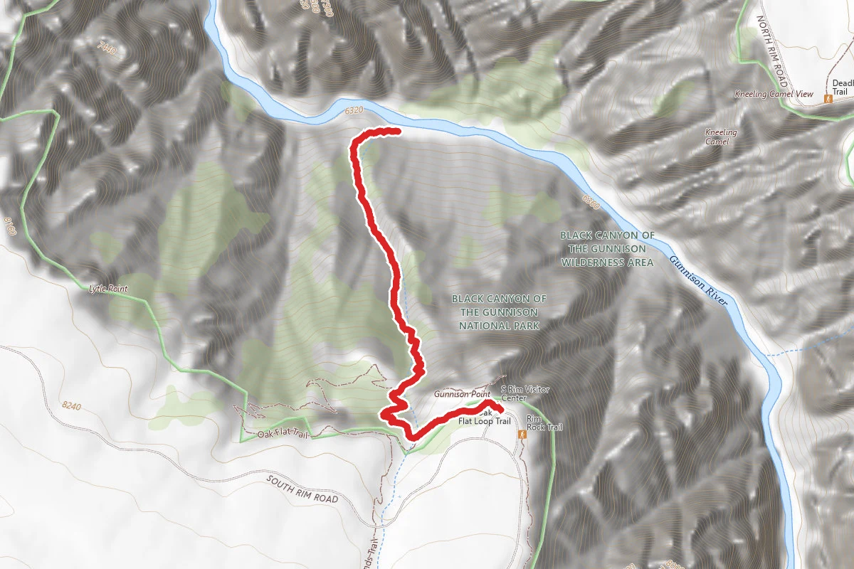
Gunnison Route Trail
Colorado
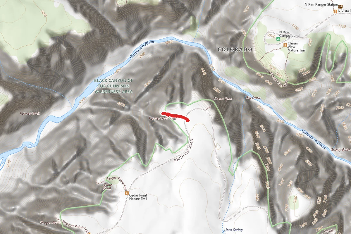
Painted Wall View Trail
Colorado
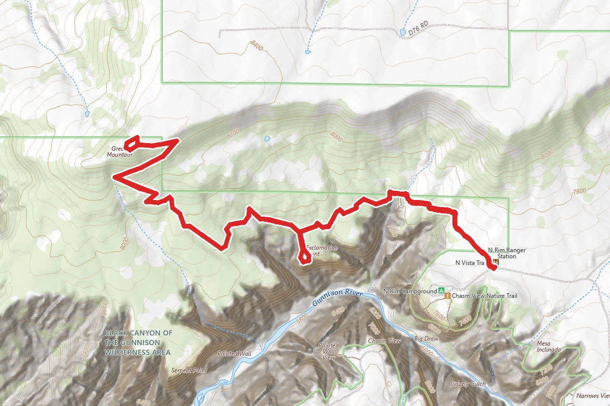
Green Mountain Summit Via North Vista Trail
Colorado
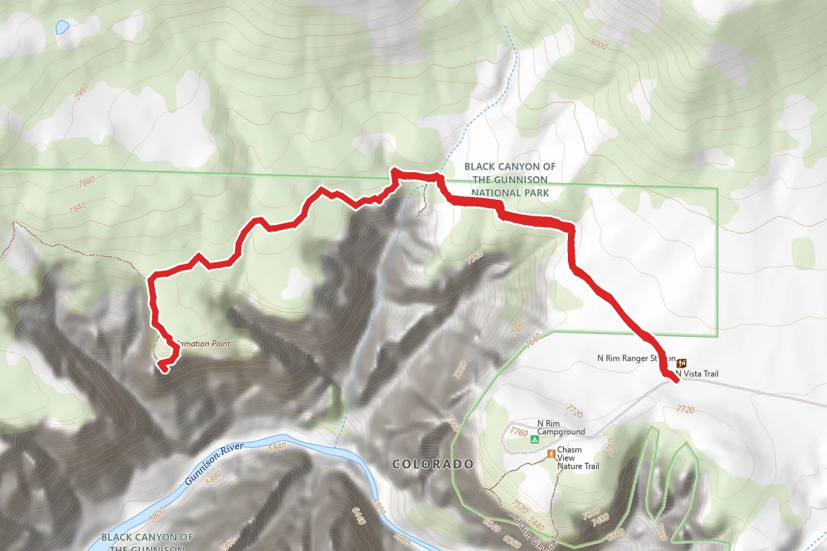
Exclamation Point
Colorado
Stay nearby
Campgrounds near this trail
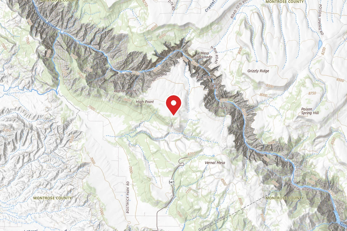
Black Canyon of the Gunnison BLM
1.3 mi awayMontrose, CO
Pricing varies — check with the operatorBLM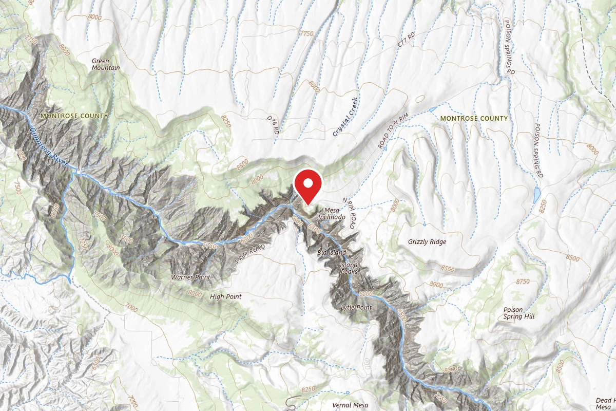
North Rim Campground
1.5 mi awayBlack Canyon of the Gunnison National Park
Crawford, CO
Reservable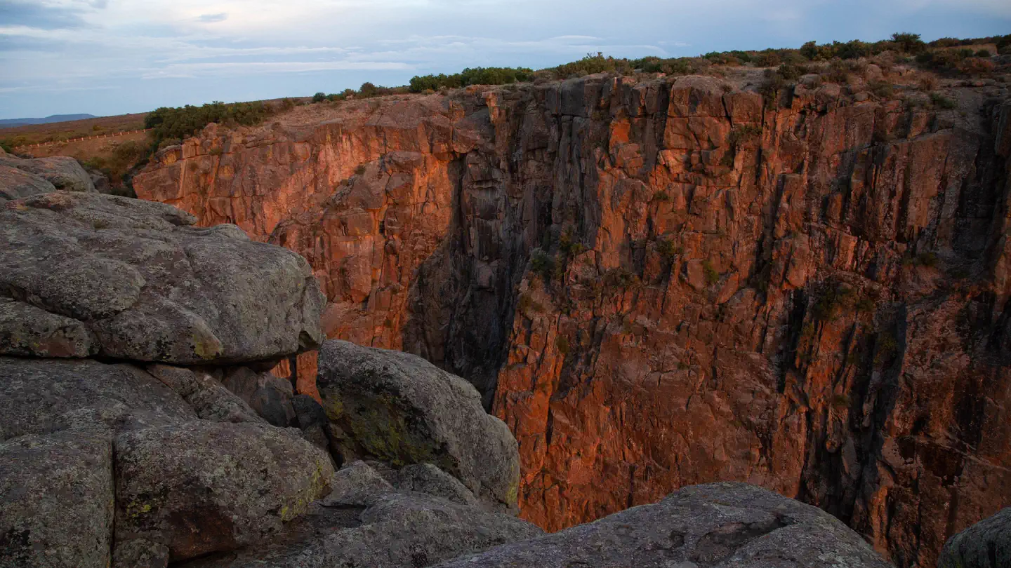
Black Canyon of the Gunnison South Rim Campground
1.6 mi awayBlack Canyon of the Gunnison National Park
Gunnison, CO
Check official pricing89 sitesReservable TentRV Popular Major Issues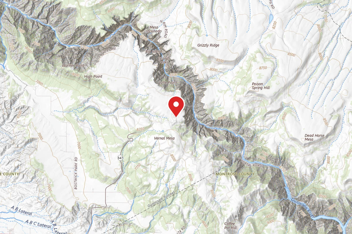
South Rim Campground
1.7 mi awayBlack Canyon of the Gunnison National Park
Montrose, CO
Reservable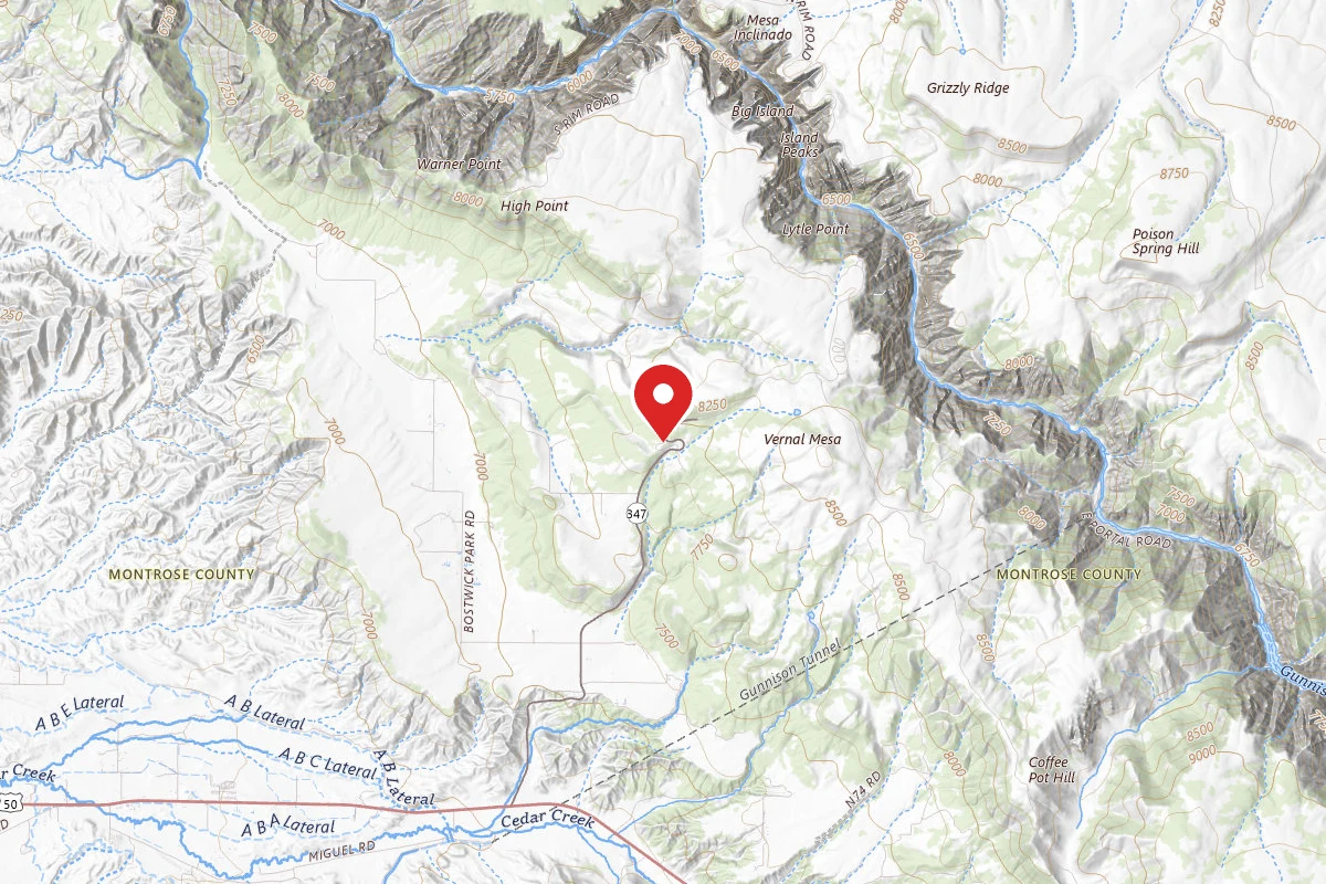
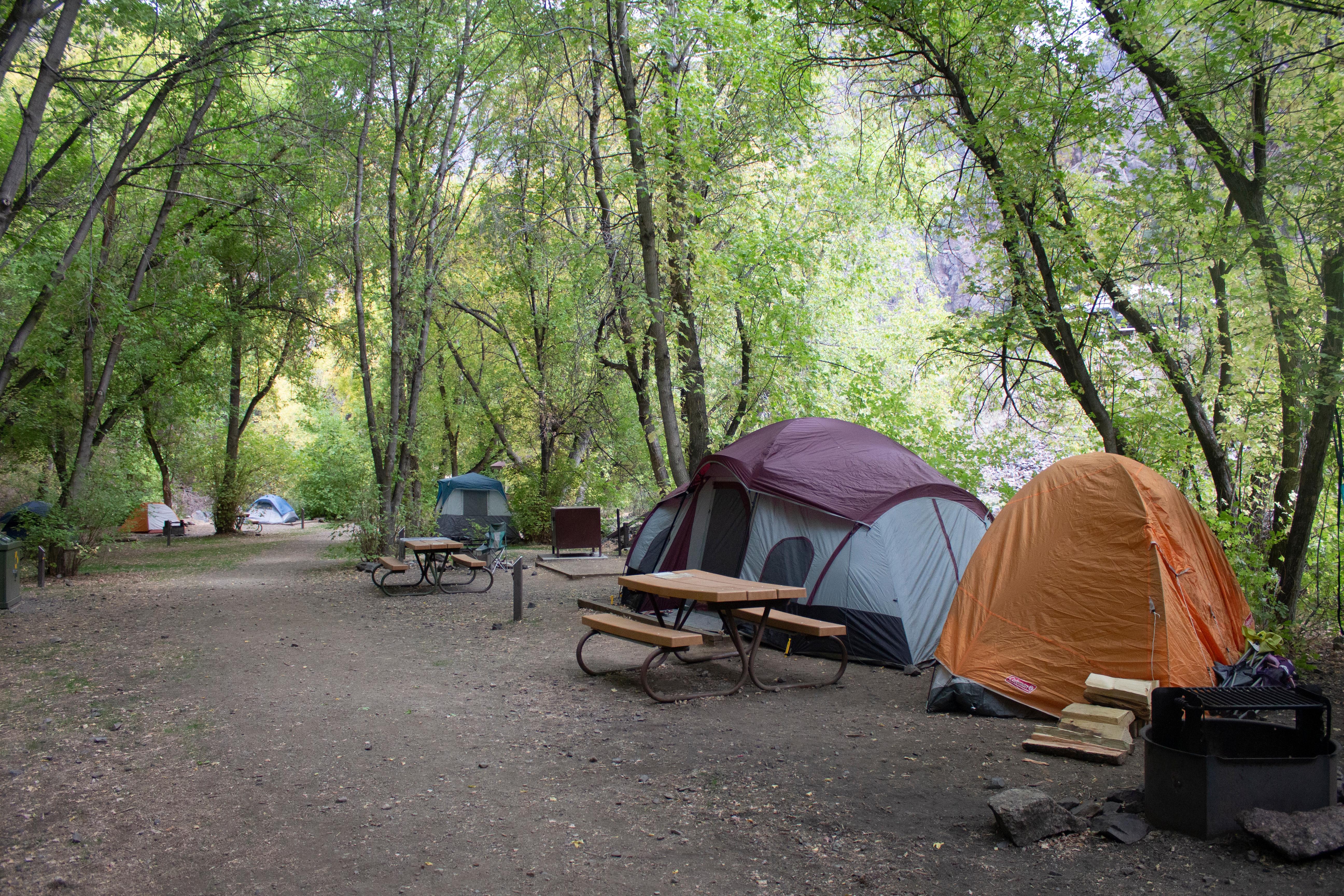
East Portal Campground
3.8 mi awayCurecanti National Recreation Area
Montrose, CO
Reservable
Similar length
Similar trails in Colorado
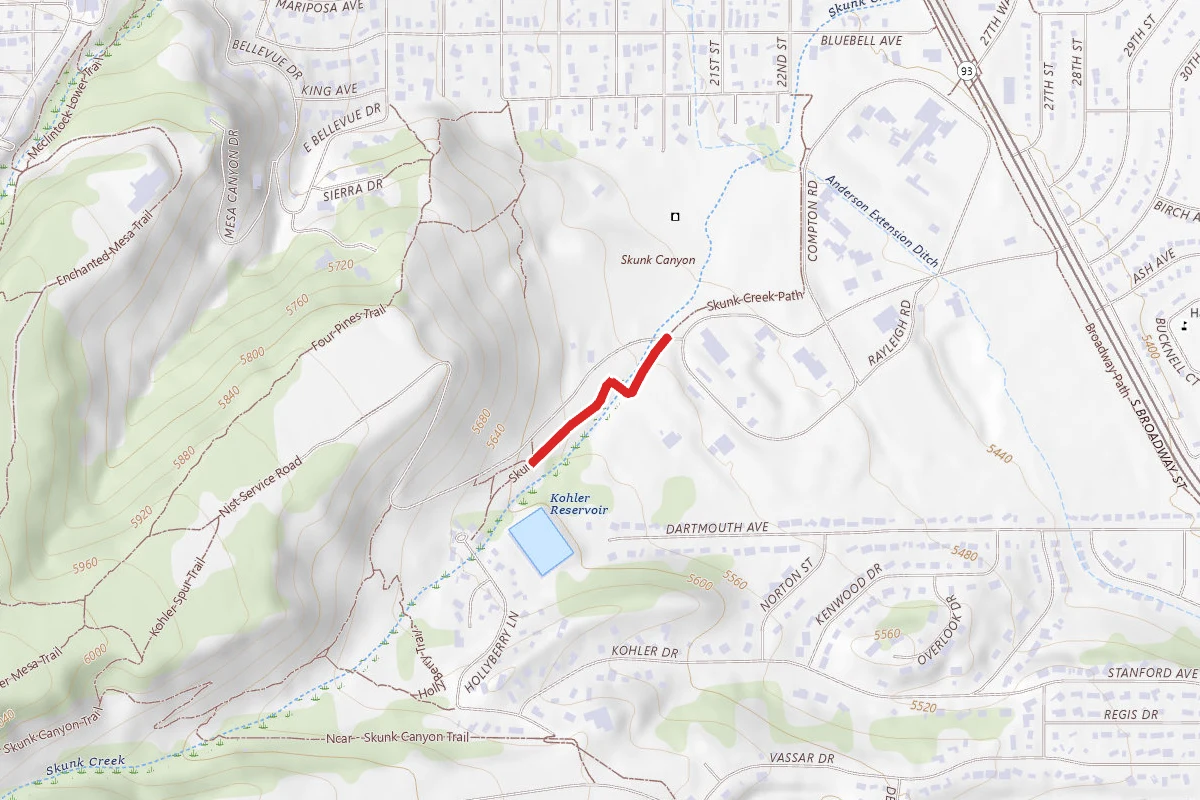
Skunk Canyon Path
Colorado
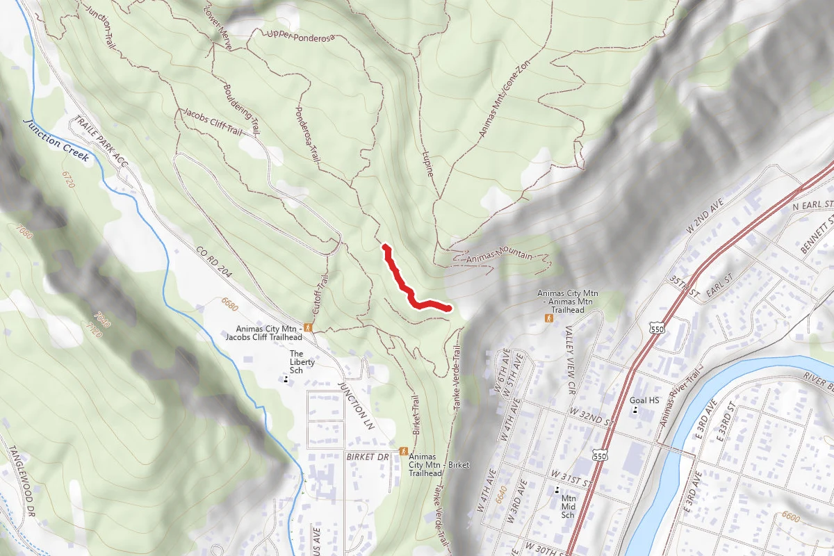
Lower Animas Mountain Trail
Colorado
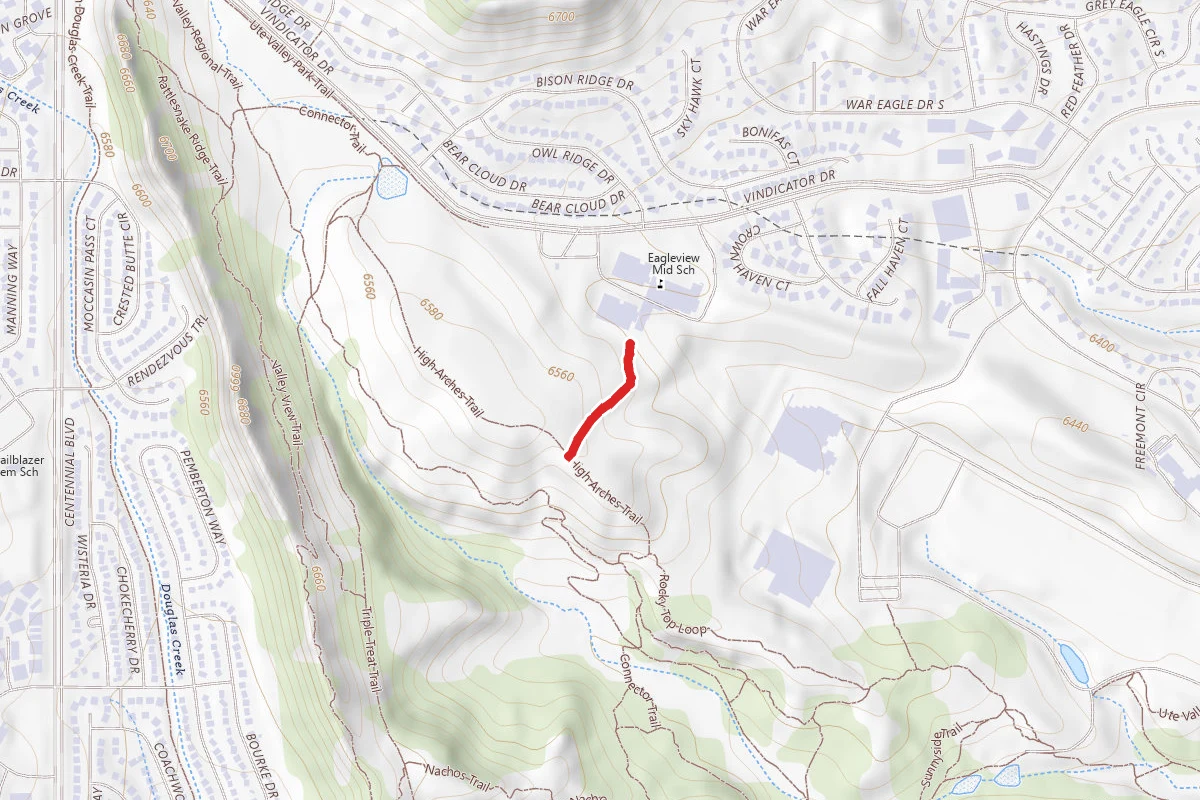
Connector Trail
Colorado
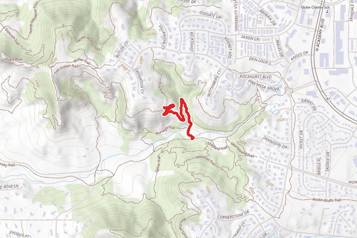
Shepard Trail
Colorado
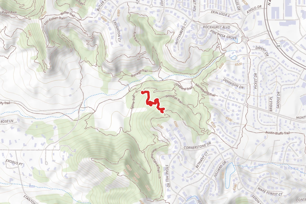
Rams Gate Trail
Colorado
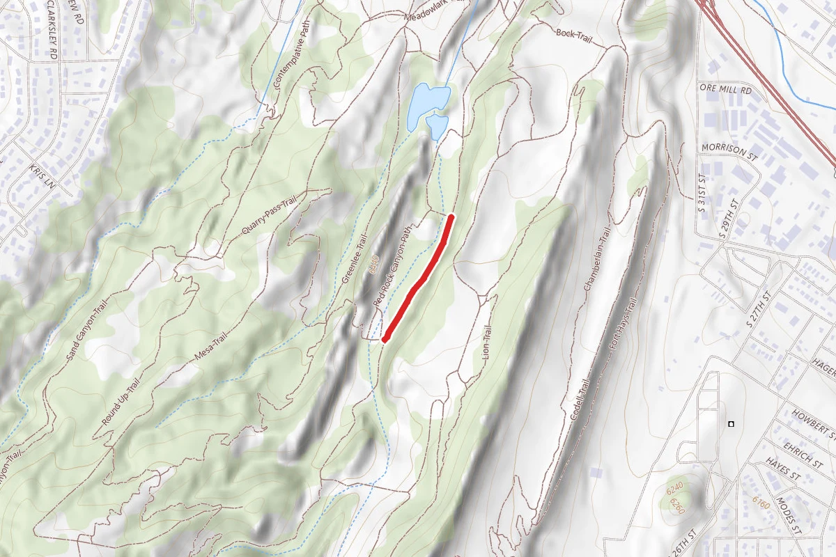
Red Rock Canyon Trail
Colorado