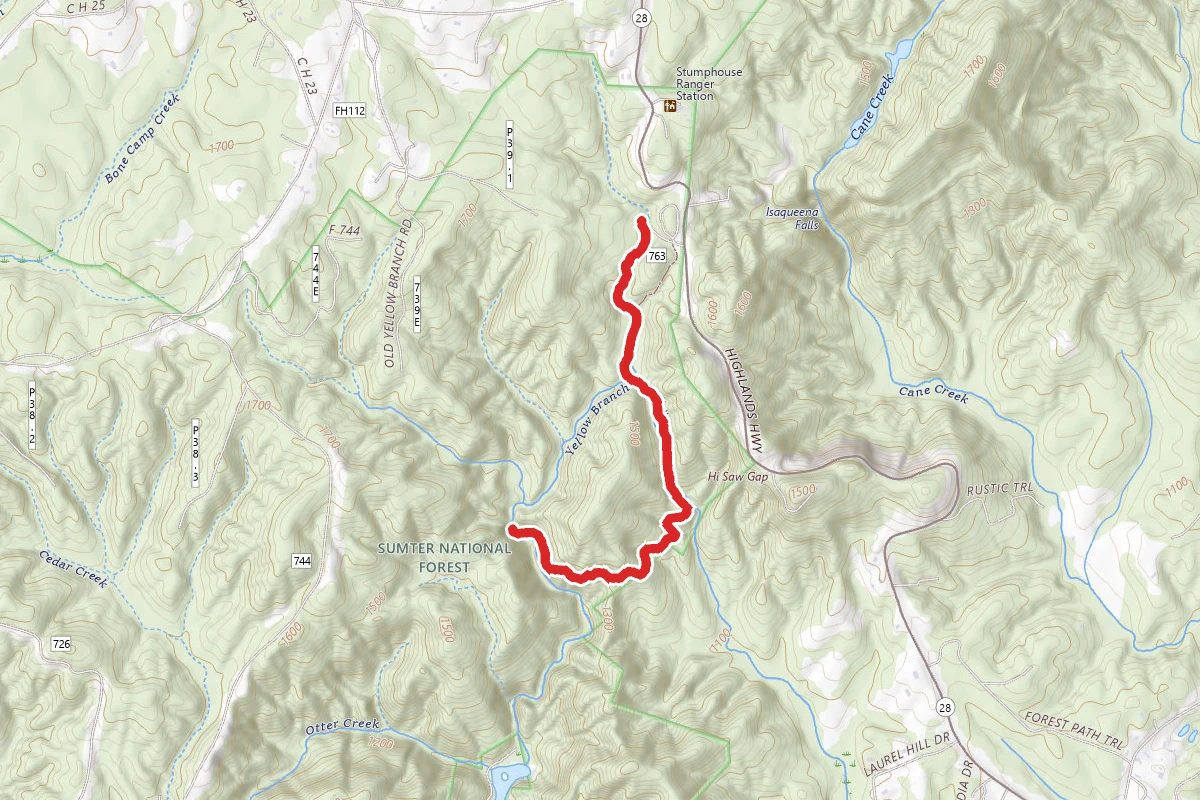
Yellow Branch Falls Trail
Walhalla, South Carolina
3.0 mi797 ftgain1h 14m
Difficulty: ModerateOut & Back
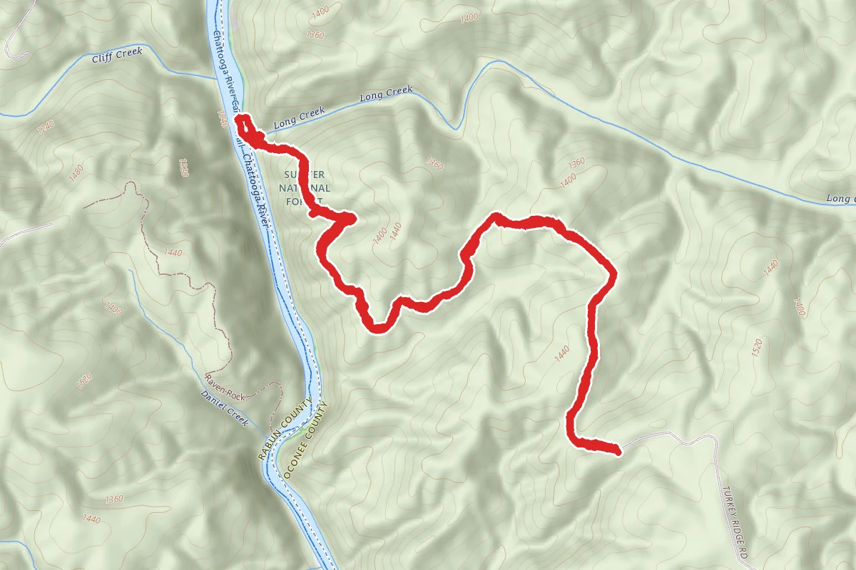
Long Creek Falls
Long Creek, South Carolina
3.3 mi1,024 ftgain1h 24m
Difficulty: ModerateOut & Back
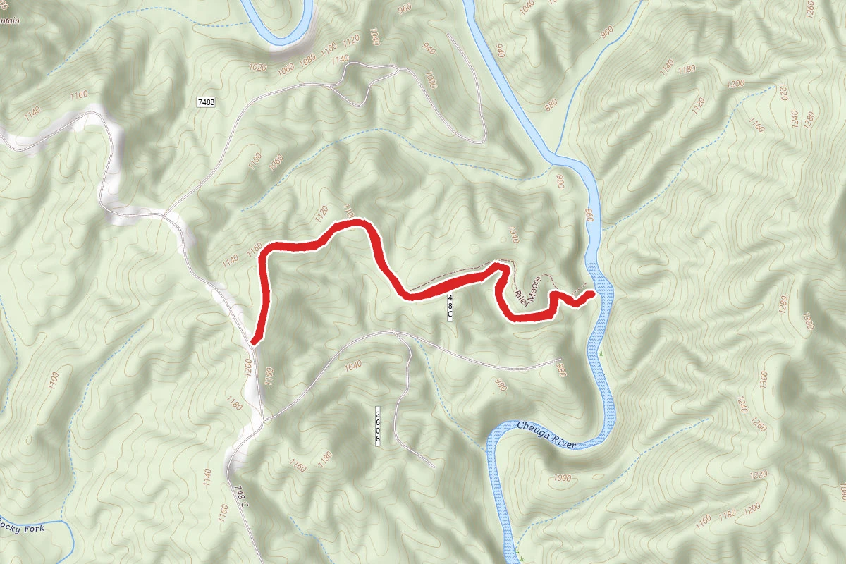
Riley Moore Falls
Long Creek, South Carolina
1.9 mi407 ftgain49m
Difficulty: EasyOut & Back
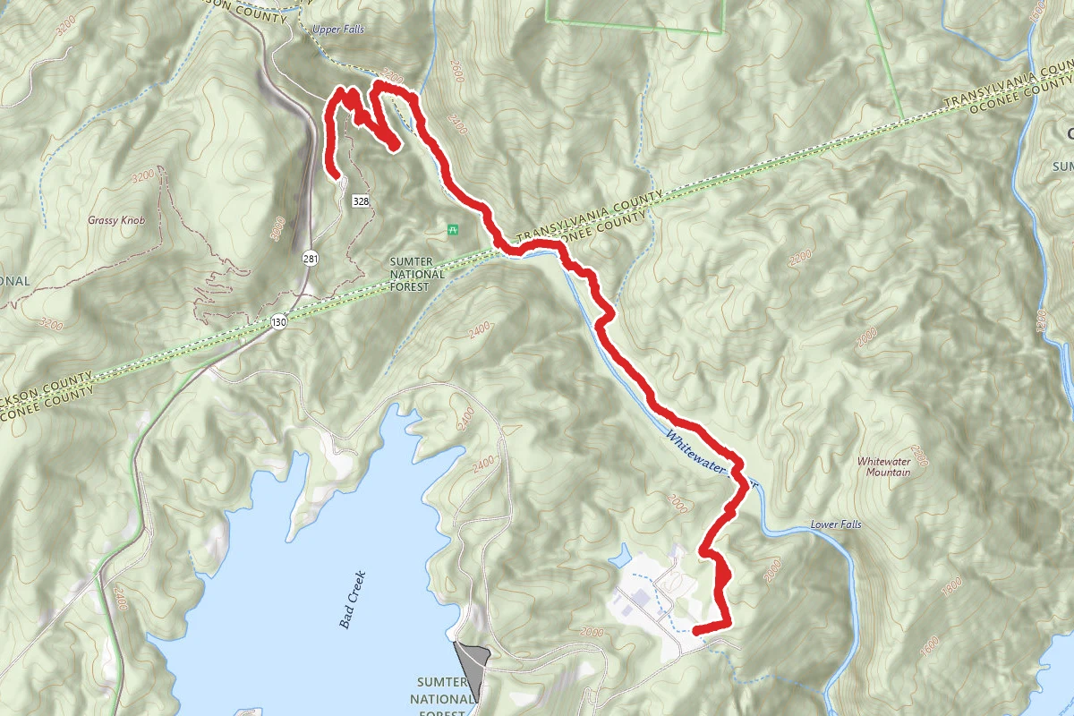
Bad Creek Trailhead to Upper Whitewater Falls
Salem, South Carolina
6.2 mi2,028 ftgain
Difficulty: DifficultOut & Back
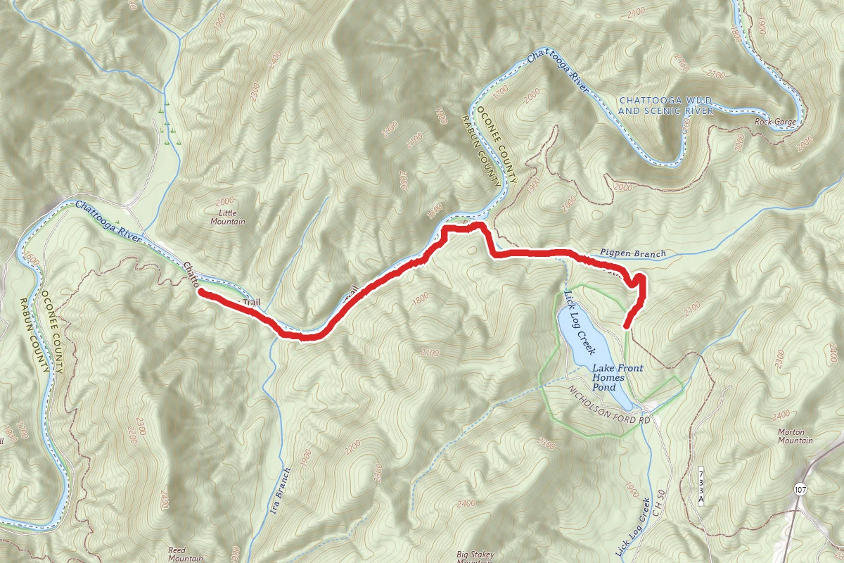
Chattooga Trail from Lick Log and Pig Pen Falls
Mountain Rest, South Carolina
4.1 mi879 ftgain1h 34m
Difficulty: ModerateOut & Back
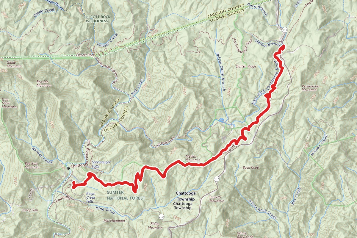
Foothills Trail - A9 to A11
Mountain Rest, South Carolina
6.6 mi1,217 ftgain2h 32m
Difficulty: ModeratePoint to Point
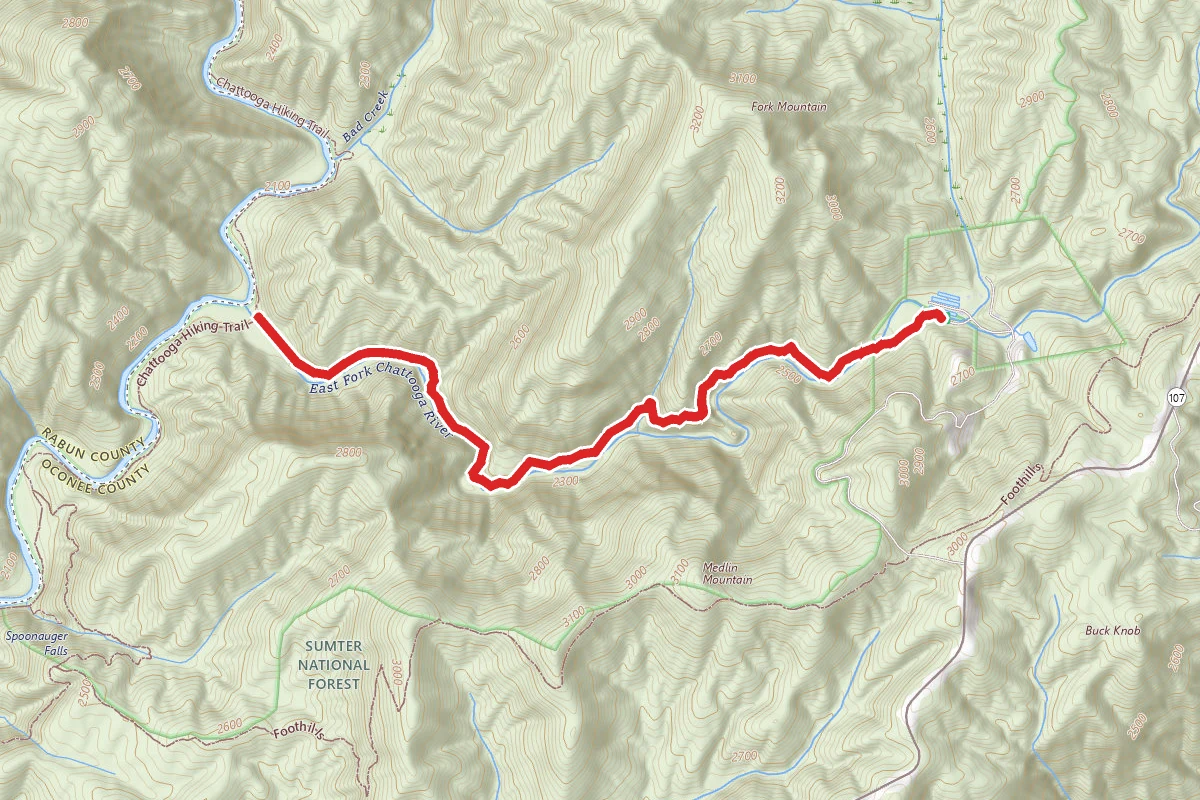
East Fork Trail
Mountain Rest, South Carolina
4.6 mi1,253 ftgain1h 48m
Difficulty: ModerateOut & Back
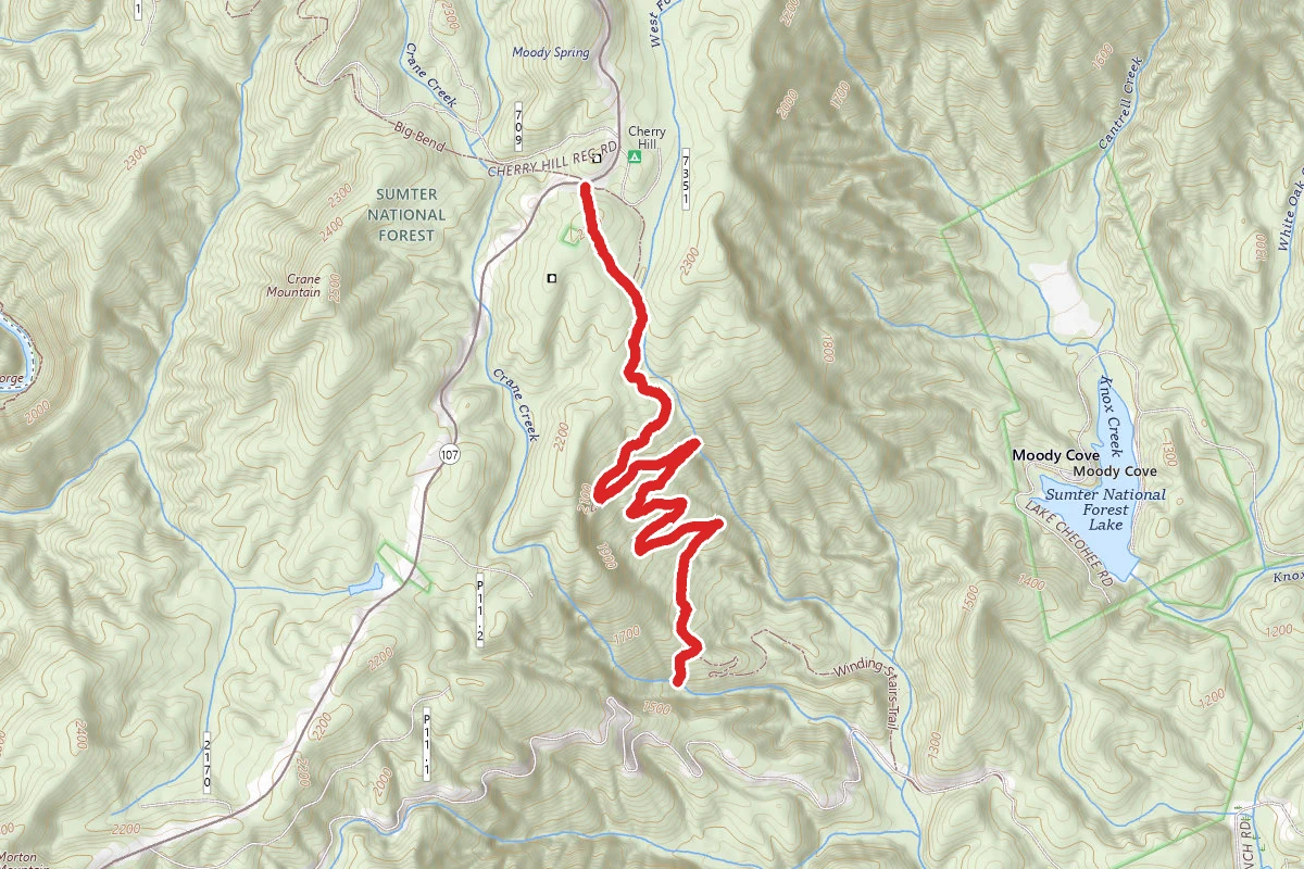
Miuka Falls (Cheohee Falls) and Secret Falls via Winding Stairs Trail
Mountain Rest, South Carolina
4.5 mi1,240 ftgain1h 58m
Difficulty: ModerateOut & Back
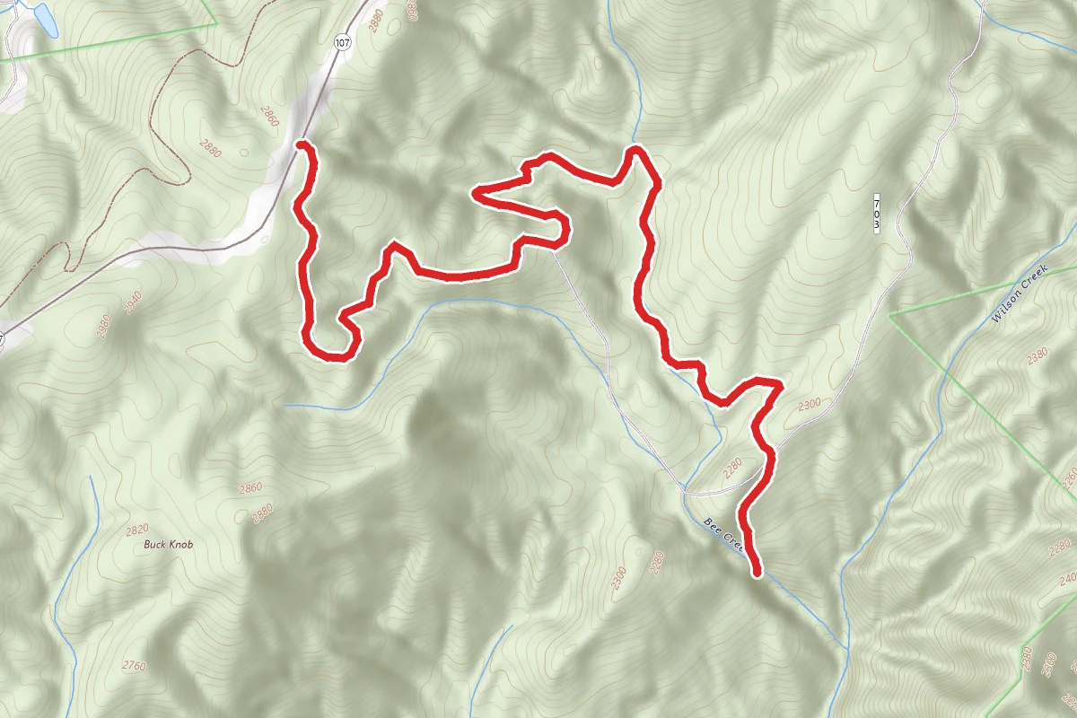
Bee Cove Falls
Mountain Rest, South Carolina
4.2 mi1,175 ftgain1h 50m
Difficulty: ModerateOut & Back
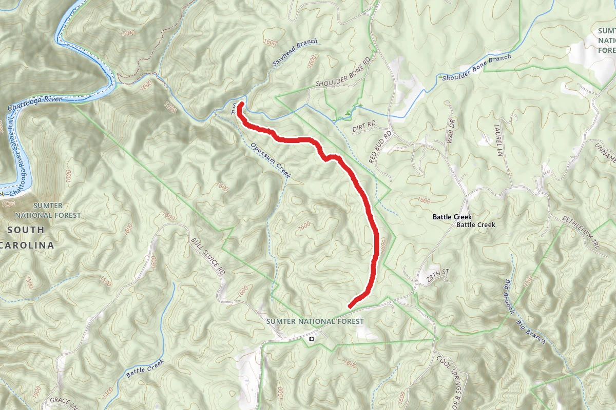
Sid's Falls
Long Creek, South Carolina
2.9 mi548 ftgain
Difficulty: ModerateOut & Back
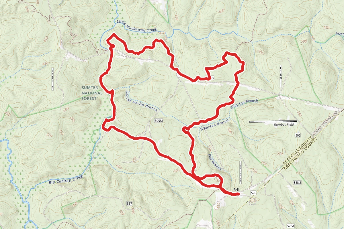
Long Cane Loop Trail
Greenwood, South Carolina
6.3 mi584 ftgain2h 17m
Difficulty: ModerateLoop
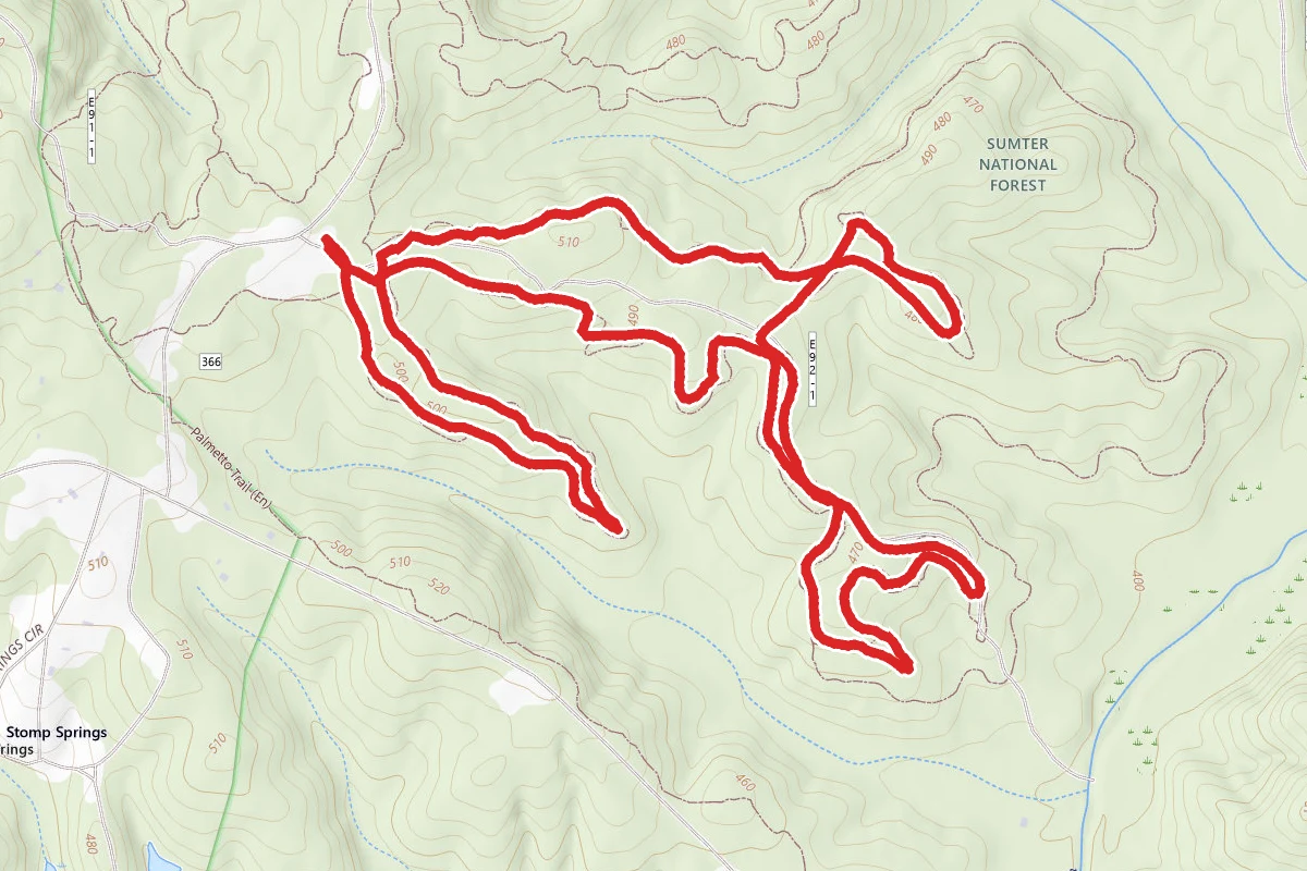
Enoree Trail
Clinton, South Carolina
4.0 mi397 ftgain
Difficulty: ModerateLoop
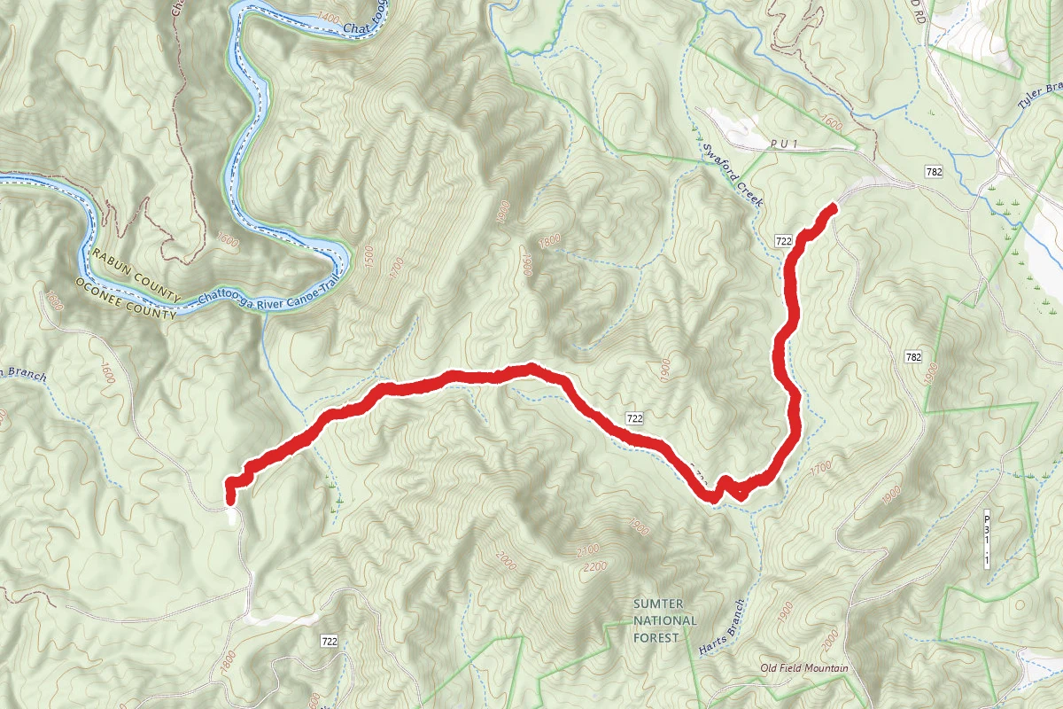
Swafford Creek Trail
Mountain Rest, South Carolina
5.6 mi869 ftgain
Difficulty: ModerateOut & Back
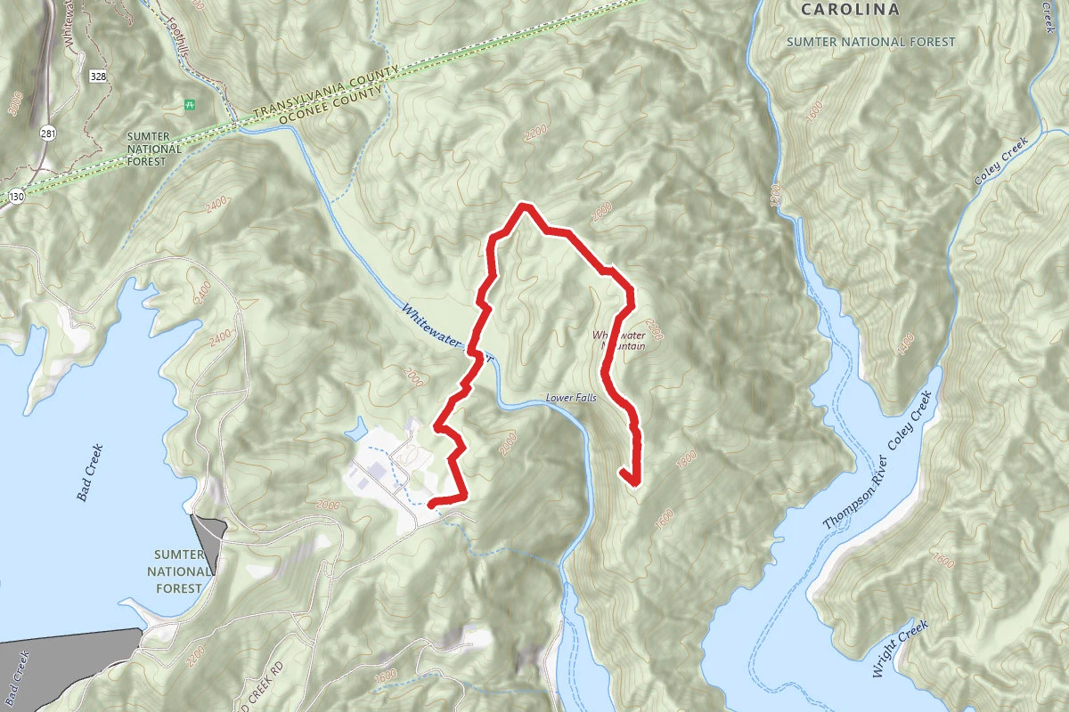
Lower Whitewater Falls
Salem, South Carolina
4.2 mi1,089 ftgain1h 50m
Difficulty: ModerateOut & Back
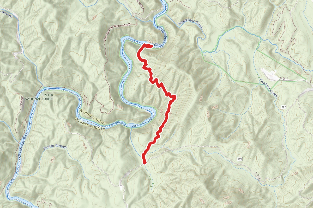
Sanddragon Beach Trail
Mountain Rest, South Carolina
3.6 mi1,165 ftgain
Difficulty: ModerateOut & Back
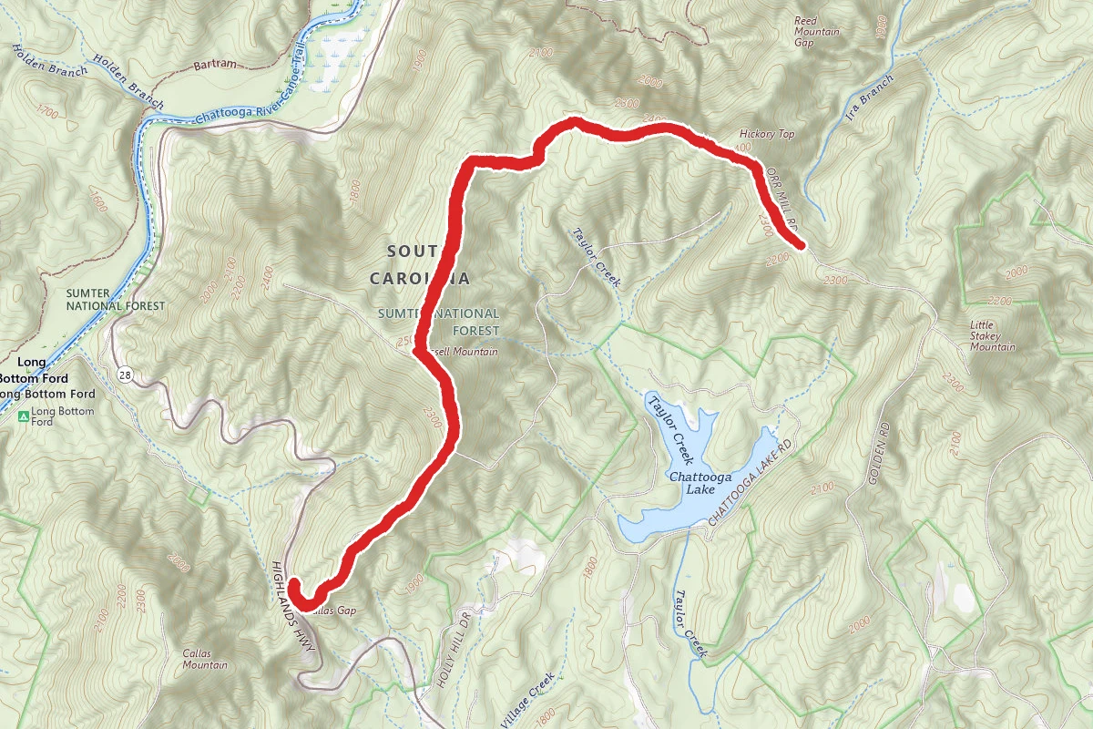
Orr Mill to Callus Gap
Mountain Rest, South Carolina
5.4 mi1,404 ftgain2h 24m
Difficulty: ModerateOut & Back
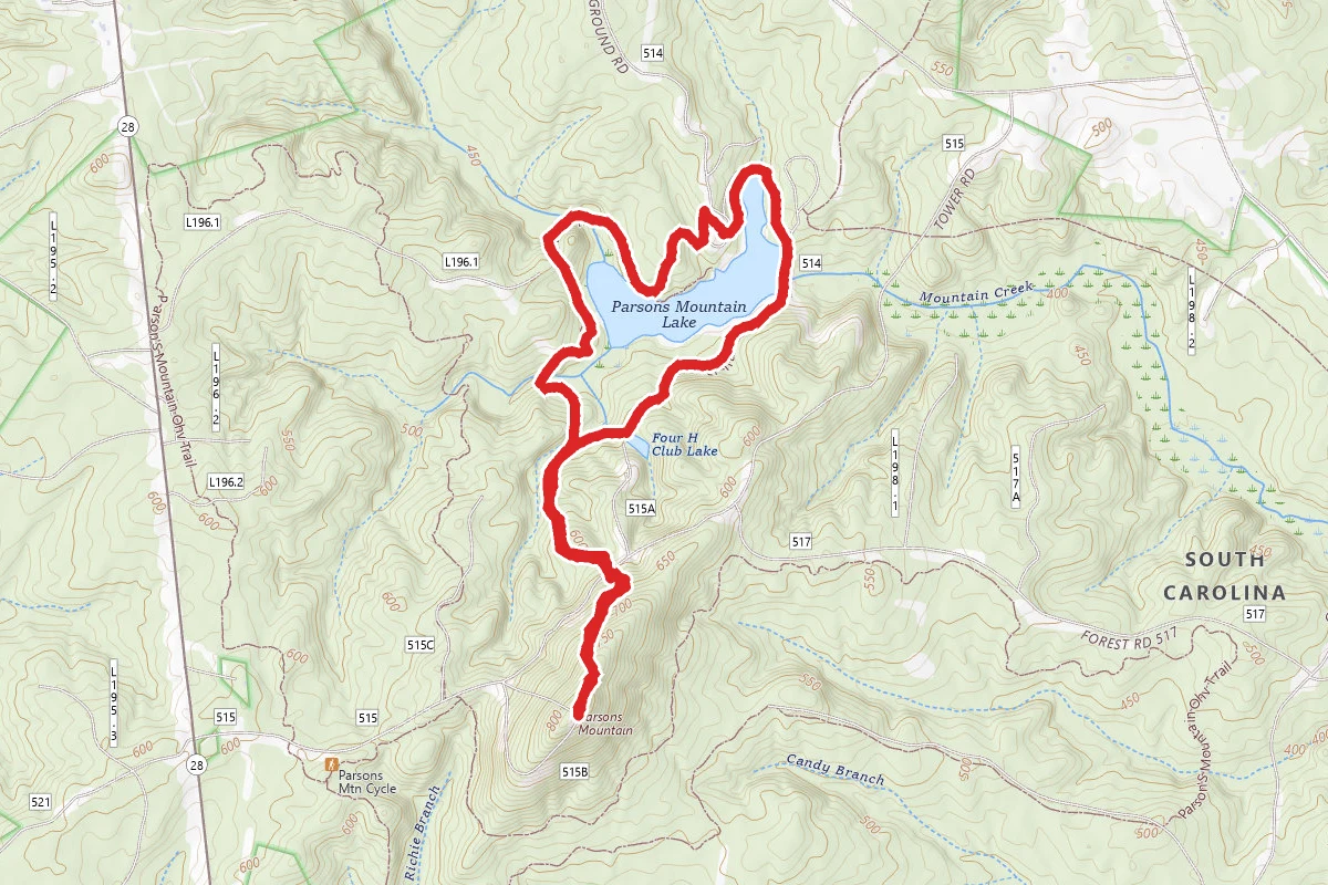
Parson's Mountain Lake and Lookout Tower
Abbeville, South Carolina
4.0 mi696 ftgain1h 35m
Difficulty: ModerateLoop
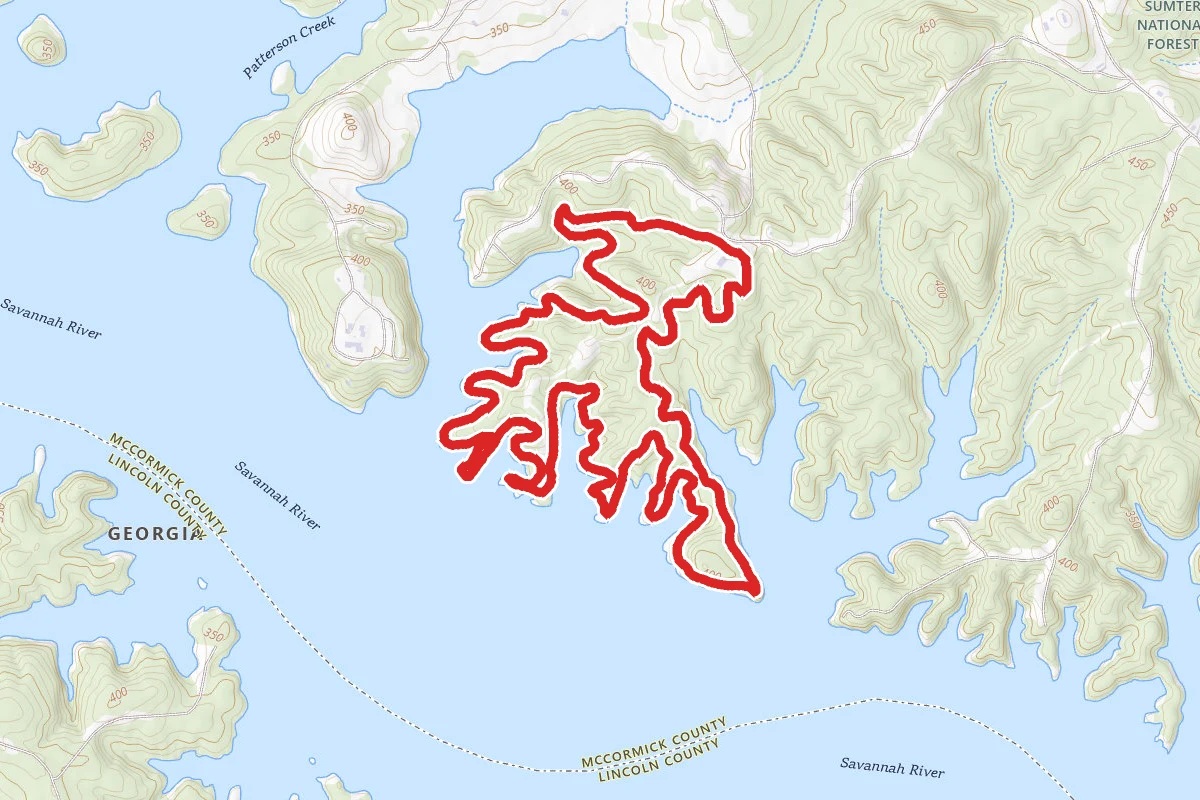
Clark Hill Lakeview Trail
McCormick, South Carolina
6.3 mi1,027 ftgain2h 16m
Difficulty: ModerateLoop
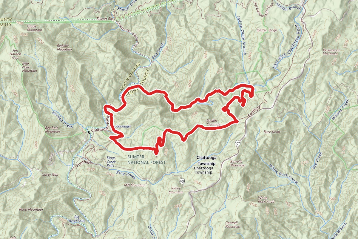
East Fork, Chattooga River, Foothills Connector, and Foothills Trails Loop
Mountain Rest, South Carolina
8.6 mi2,146 ftgain3h 38m
Difficulty: DifficultLoop
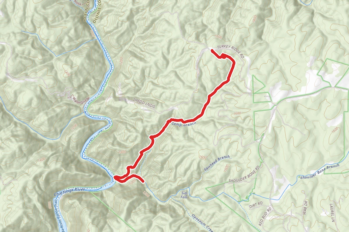
Opossum Creek Falls Trail
Long Creek, South Carolina
4.4 mi1,112 ftgain
Difficulty: ModerateOut & Back
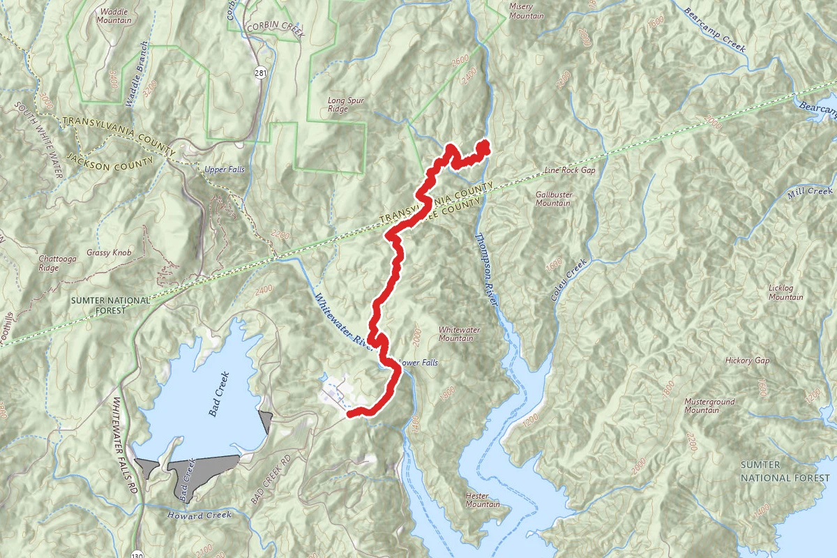
Thompson River via Foothills Trail
Salem, South Carolina
6.8 mi1,788 ftgain2h 56m
Difficulty: DifficultOut & Back
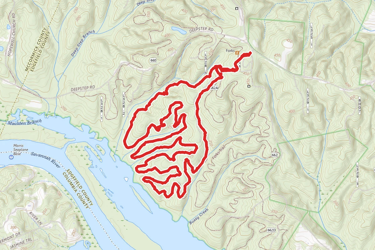
The Great Wall Loop
Clarks Hill, South Carolina
7.8 mi942 ftgain3h 2m
Difficulty: DifficultLoop
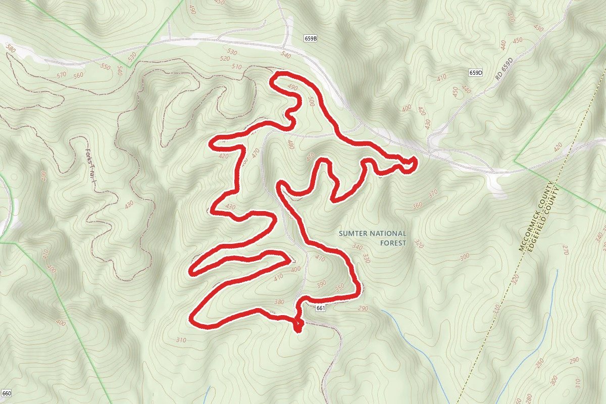
Big Rock Trail Loop
Clarks Hill, South Carolina
3.7 mi646 ftgain1h 24m
Difficulty: ModerateLoop
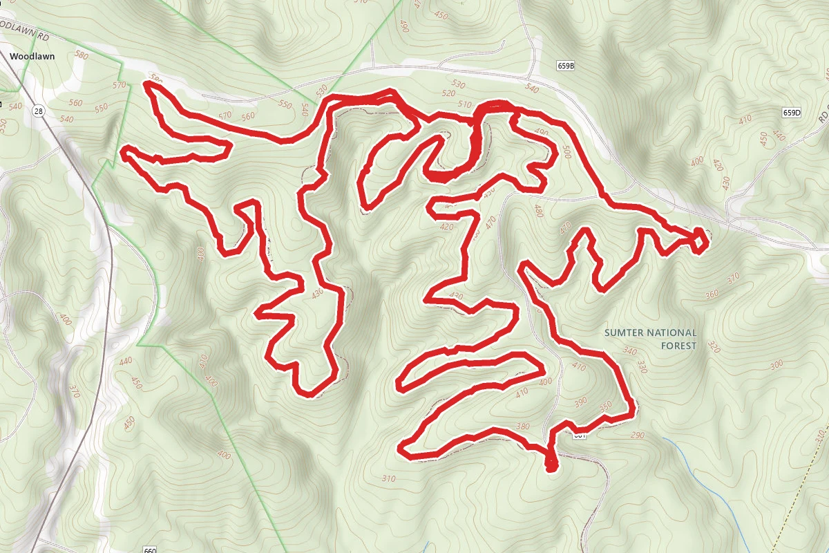
Big Rock and Tower Trail Loop
Clarks Hill, South Carolina
8.0 mi1,302 ftgain3h 4m
Difficulty: DifficultLoop