Status unknown — verify before visiting
We don't have current condition data for this trail. Check with the land manager before you go.
16.6 mi
Distance
4,062 ft
Elev. Gain
6h 38m
Est. Time
Loop
Route Type
Expert
Difficulty
About This Trail
Imported descriptionTrail Conditions
Trail Conditions
We have no current condition data for this trail. Check with the operator before you go, and submit a report below if you've been recently.
No recent condition reports. Be the first to share what you see on the trail.
Elevation Profile
Trail Details
- Route Type
- Loop
- Surface
- Dirt
Official sources & verification
We don't have curated agency sources for this trail in our cache yet. Outdoors is not the permitting authority — confirm conditions, permits, and access with the managing agency before you go. If you know who manages this trail, please tell us.
Reviews
No reviews yet
Be the first to share your experience and help others plan their visit.
Legacy import — verify before navigating
Path geometry came from our pre-launch legacy database. Routes have not yet been re-verified against the operator and may differ from the actual trail.
Nearby Trails
More trails near Woodward Valley Backpacking LoopMeadow Trail and Sky Trail to Coast Trail
Point Reyes Extended Loop
Mount Wittenberg, Sky, Old Pine and Bear Valley Trail Loop
Bear Valley To Coast Campground
Bear Valley, Coast Trail, Greenpicker, Rift Trail
Bolinas Ridge Trail
Stay nearby
Campgrounds near this trail
 Reservable
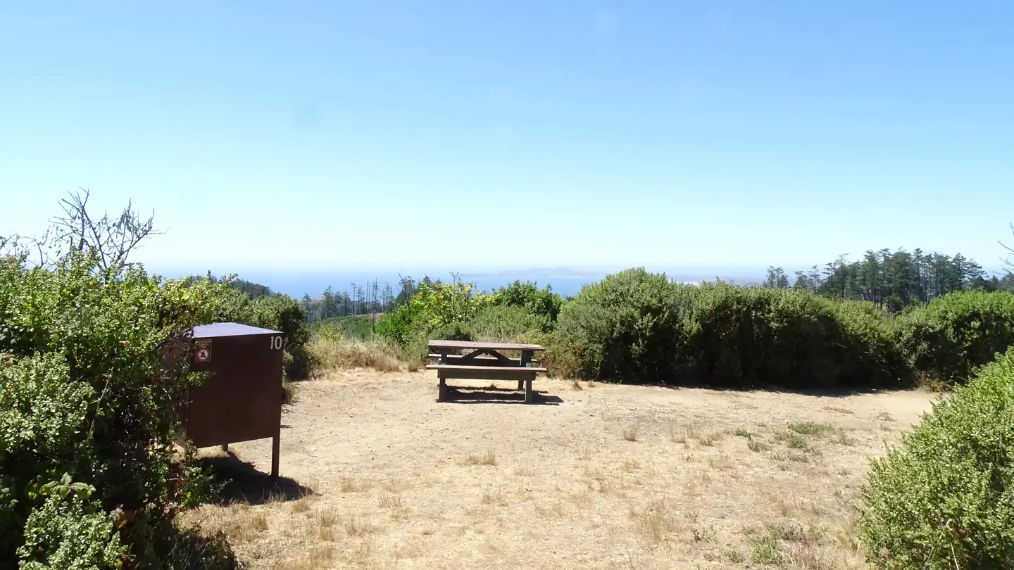
Point Reyes National Seashore Campground
0.1 mi away · CA
- Reservable
Coast Camp - Point Reyes NS
3.1 mi away · CA
- Reservable
Glen Camp - Point Reyes NS
3.5 mi away · CA
Devils Gulch Horse Camp - Samuel P Taylor State Park
3.6 mi away · CA
- Reservable
Samuel Taylor State Park
4.1 mi away · CA
- Reservable
Samuel P. Taylor Sp Cabins
4.1 mi away · CA
Similar length
Similar trails in California

Half Dome
California

Four Mile Trail
California
Mount Tallac Trail
California

Mount Whitney Trail
California
Stevens Trail
California
Mount Baldy via Devil's Backbone Trail
California