Status unknown — verify before visiting
We don't have current condition data for this trail. Check with the land manager before you go.
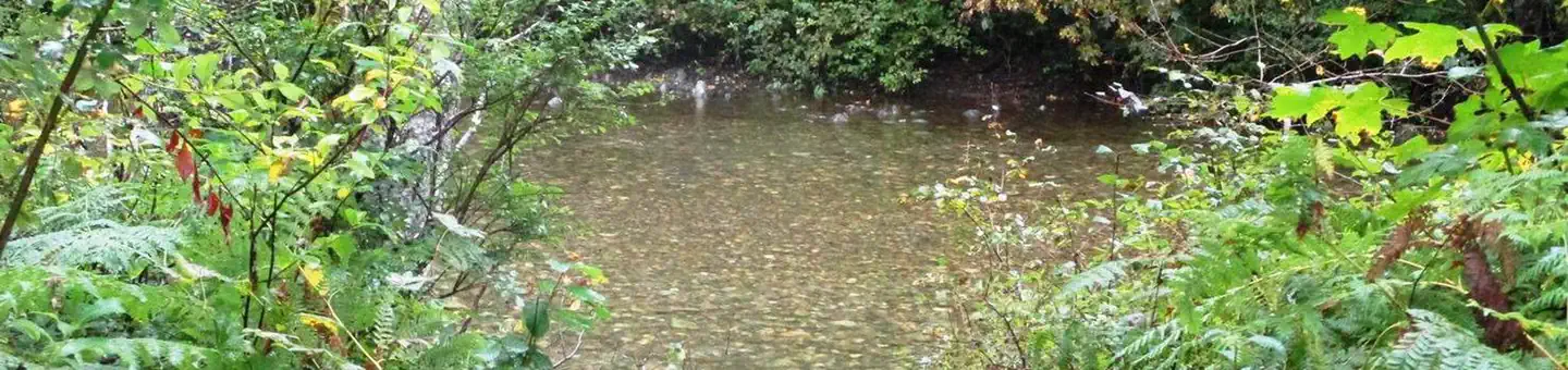
Trout Lake, Middle and Upper Copper Falls and Malachite Falls
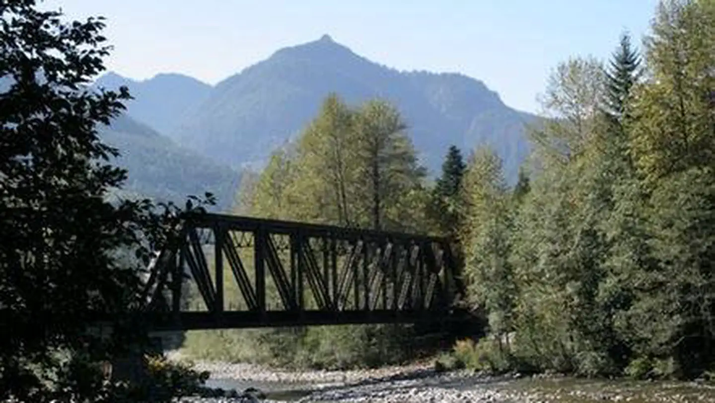
Skykomish, Washington
6.8 mi
Distance
3,297 ft
Elev. Gain
3h 25m
Est. Time
Out & Back
Route Type
Difficult
Difficulty
About This Trail
Imported descriptionTrail Conditions
Trail Conditions
We have no current condition data for this trail. Check with the operator before you go, and submit a report below if you've been recently.
No recent condition reports. Be the first to share what you see on the trail.
Elevation Profile
Trail Details
- Route Type
- Out & Back
- Surface
- Dirt
Official sources & verification
Managed by United States Forest Service
Managing agency
- United States Forest Service
Find offices, alerts, and current orders for this agency.
Verify by phone or mail
- Address:WA
Reviews
No reviews yet
Be the first to share your experience and help others plan their visit.
Legacy import — verify before navigating
Path geometry came from our pre-launch legacy database. Routes have not yet been re-verified against the operator and may differ from the actual trail.
Hunt context
This trail crosses hunting unit
During hunting seasons, wear blaze orange and check regulations — see the Washington hunting page

Trout Lake via West Fork Foss Lakes Trail
Trout Lake and Copper Lake via West Fork Foss Lakes Trail
Malachite Lake via West Fork Foss Lakes Trail
Chetwoot Lake Trail via West Fork Foss Lakes Trail
Trout Lake, Copper Lake, Lake Malachite
Alpine Lakes High Route
In this park
Other trails in Snoqualmie National Forest
Snow Lake Trail
Washington
Lake Serene Trail and Bridal Veil Falls
Washington
Mason Lake via Ira Spring Memorial Trail
Washington
Granite Mountain Trail
Washington
Bridal Veil Falls Trail
Washington
Blanca Lake Trail
Washington
Stay nearby
Campgrounds near this trail

Similar length
Similar trails in Washington

Skyline Trail Loop
Washington
Hoh River Trail to Blue Glacier
Washington

Cascade Pass Trail
Washington

Maple Pass Loop
Washington
Mount Si Trail
Washington
Snow Lake Trail
Washington