Status unknown — verify before visiting
We don't have current condition data for this trail. Check with the land manager before you go.
9.0 mi
Distance
1,834 ft
Elev. Gain
3h 42m
Est. Time
Out & Back
Route Type
Difficult
Difficulty
About This Trail
Imported descriptionTrail Conditions
Trail Conditions
We have no current condition data for this trail. Check with the operator before you go, and submit a report below if you've been recently.
No recent condition reports. Be the first to share what you see on the trail.
Elevation Profile
Trail Details
- Route Type
- Out & Back
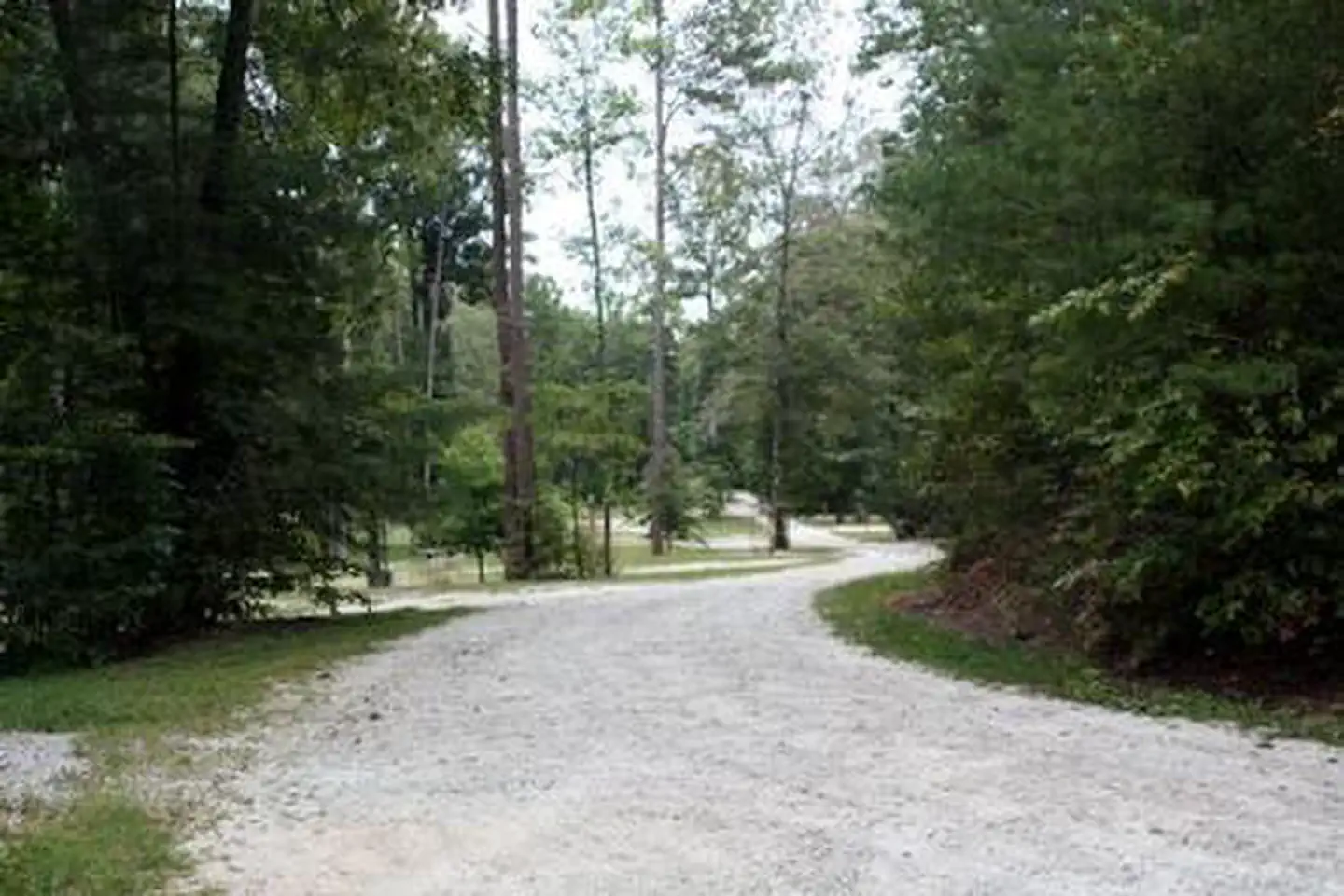
- Surface
- Dirt
Official sources & verification
Managed by United States Forest Service
Managing agency
- United States Forest Service
Find offices, alerts, and current orders for this agency.
Verify by phone or mail
- Address:TN
Reviews
No reviews yet
Be the first to share your experience and help others plan their visit.
Legacy import — verify before navigating
Path geometry came from our pre-launch legacy database. Routes have not yet been re-verified against the operator and may differ from the actual trail.

In this park
Other trails in Chattahoochee National Forest
Tallulah Gorge and North and South Rim Loop Trail
Georgia
Anna Ruby Falls Trail
Georgia
High Shoals Falls Trail
Georgia
Len Foote Hike Inn Trail
Georgia
Gahuti Backcountry Trail
Georgia
Neels Gap to Blood Mountain
Georgia

Similar length
Similar trails in Georgia
Stone Mountain Cherokee Loop Trail
Georgia
West Rim Loop Trail
Georgia
Kennesaw Mountain Overlook via West and East Trails
Georgia
Kolb's Farm Kennesaw Mountain East and West Loop
Georgia
Len Foote Hike Inn Trail
Georgia
Gahuti Backcountry Trail
Georgia