Status unknown — verify before visiting

We don't have current condition data for this trail. Check with the land manager before you go.

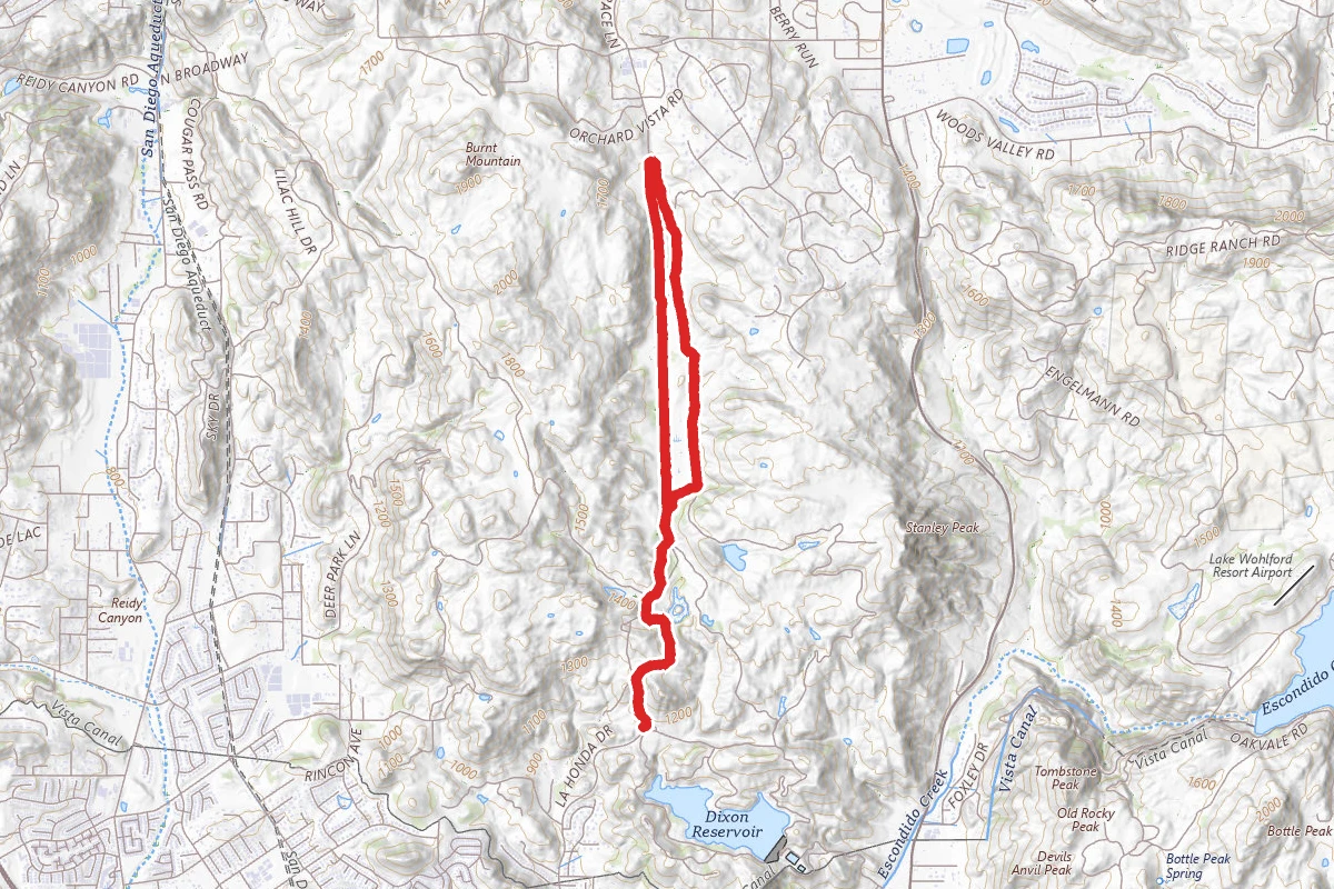
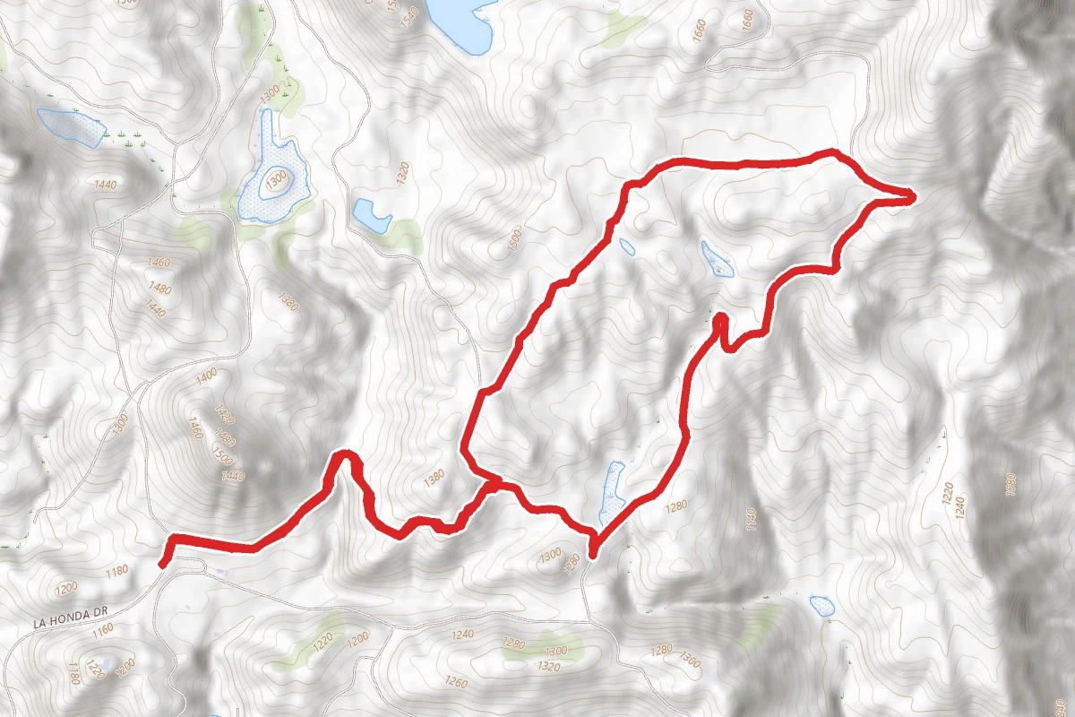
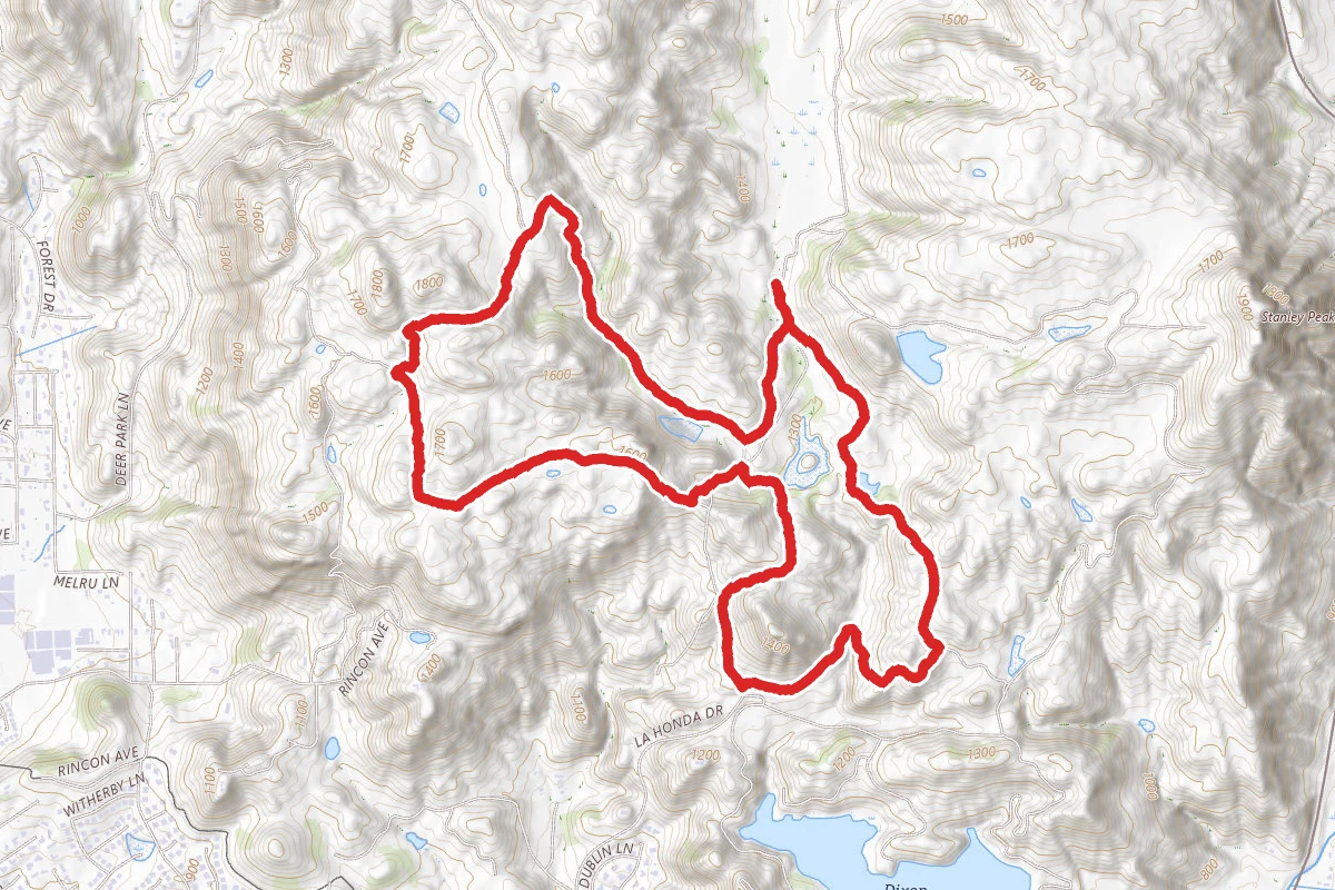
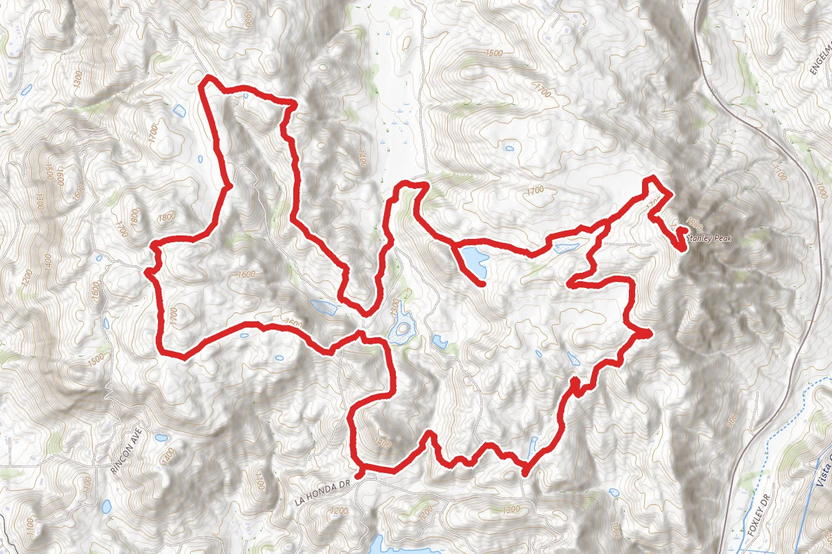
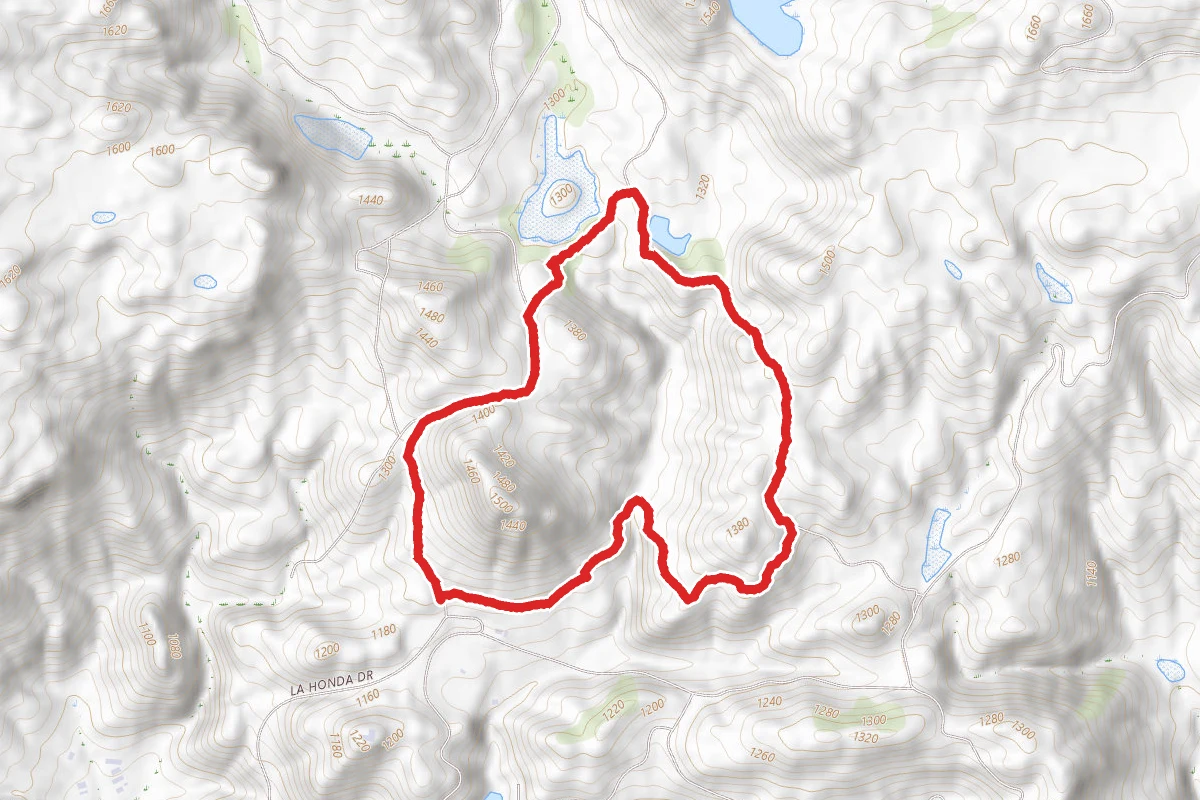
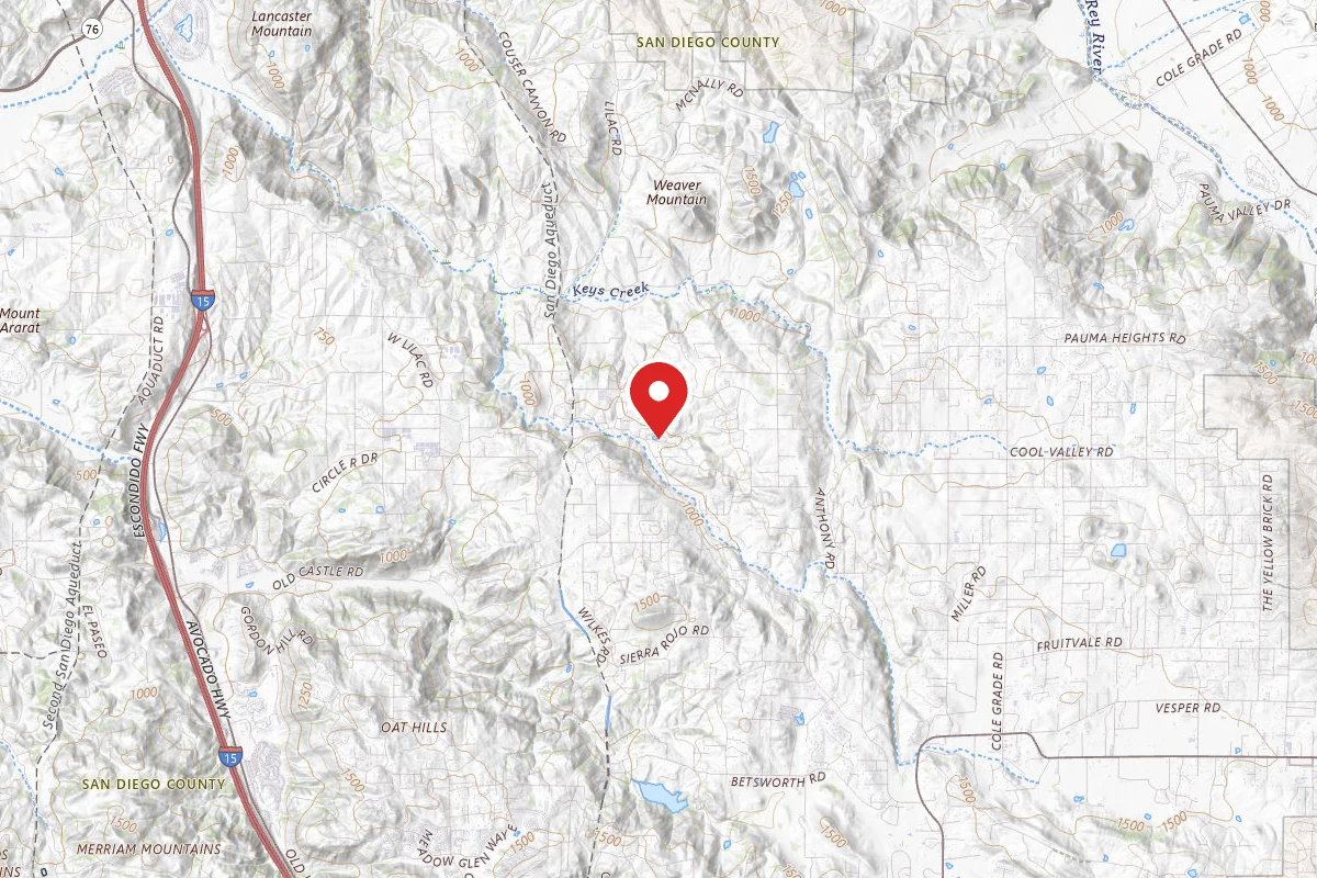
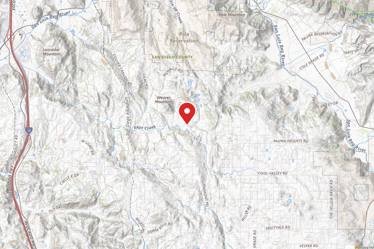
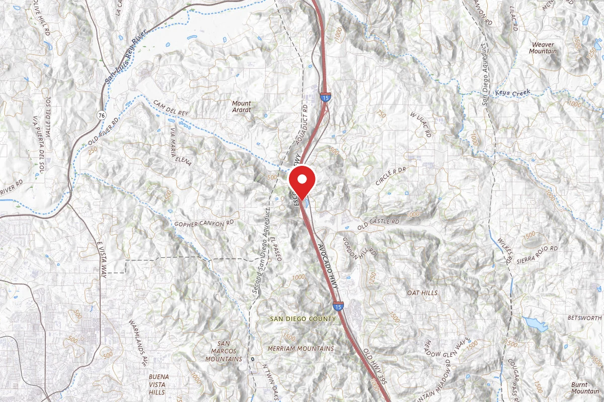
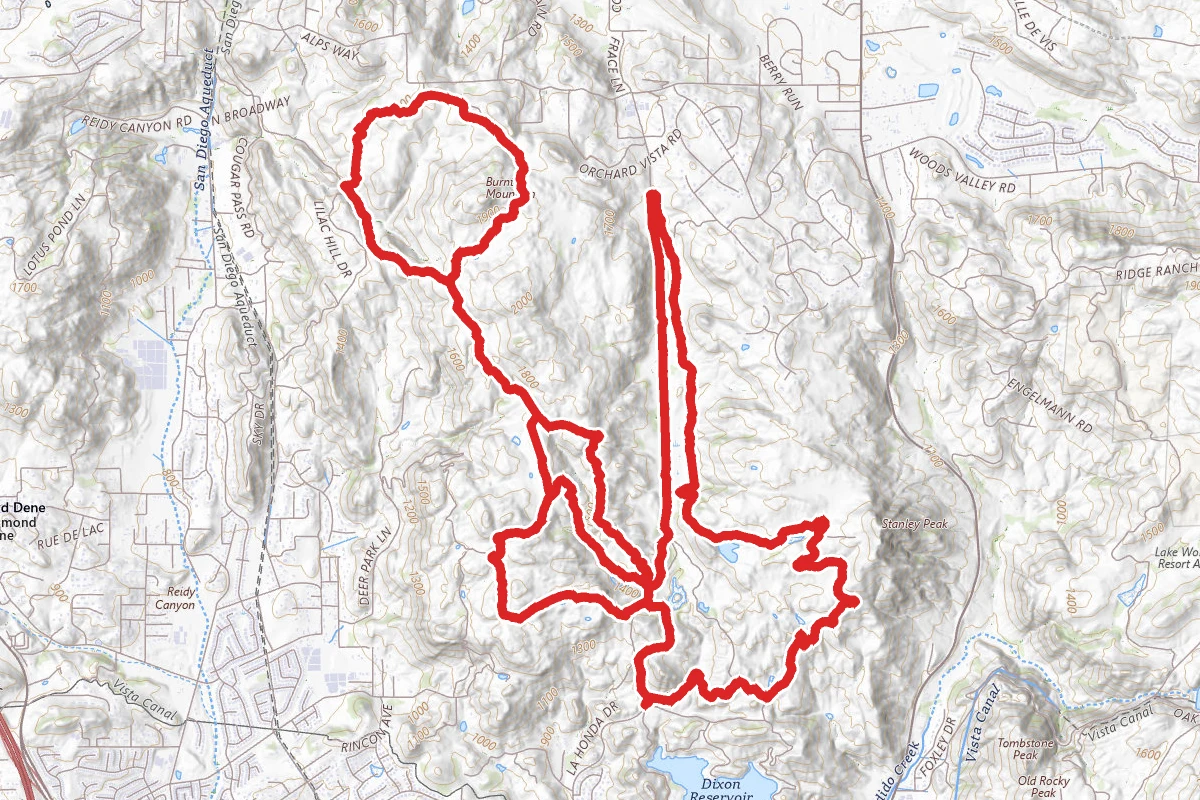
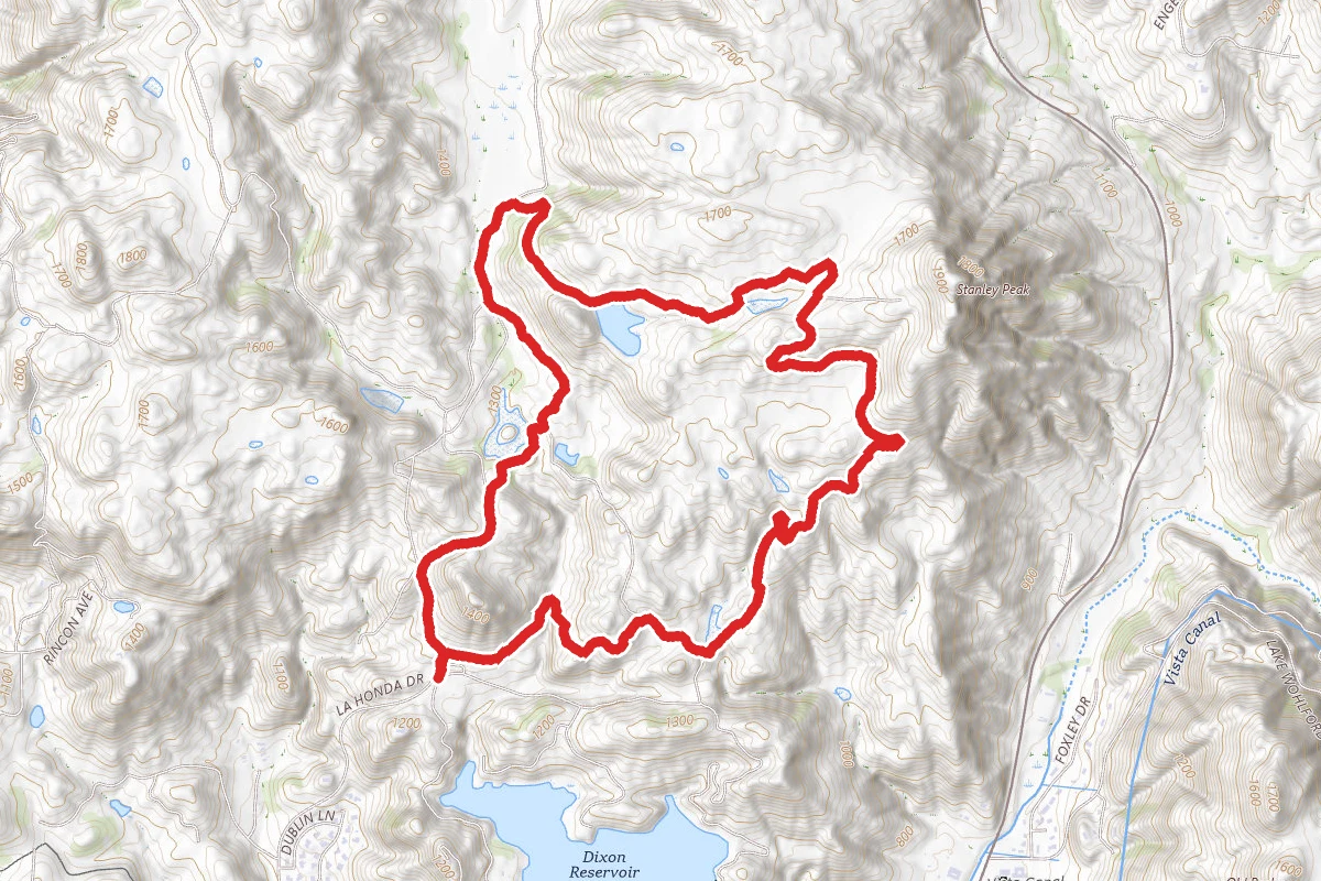
Sage to Jack Creek to Crest to Boulder Loop route map
ExpertLoop

Sage to Jack Creek to Crest to Boulder Loop

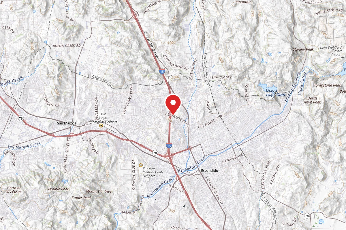
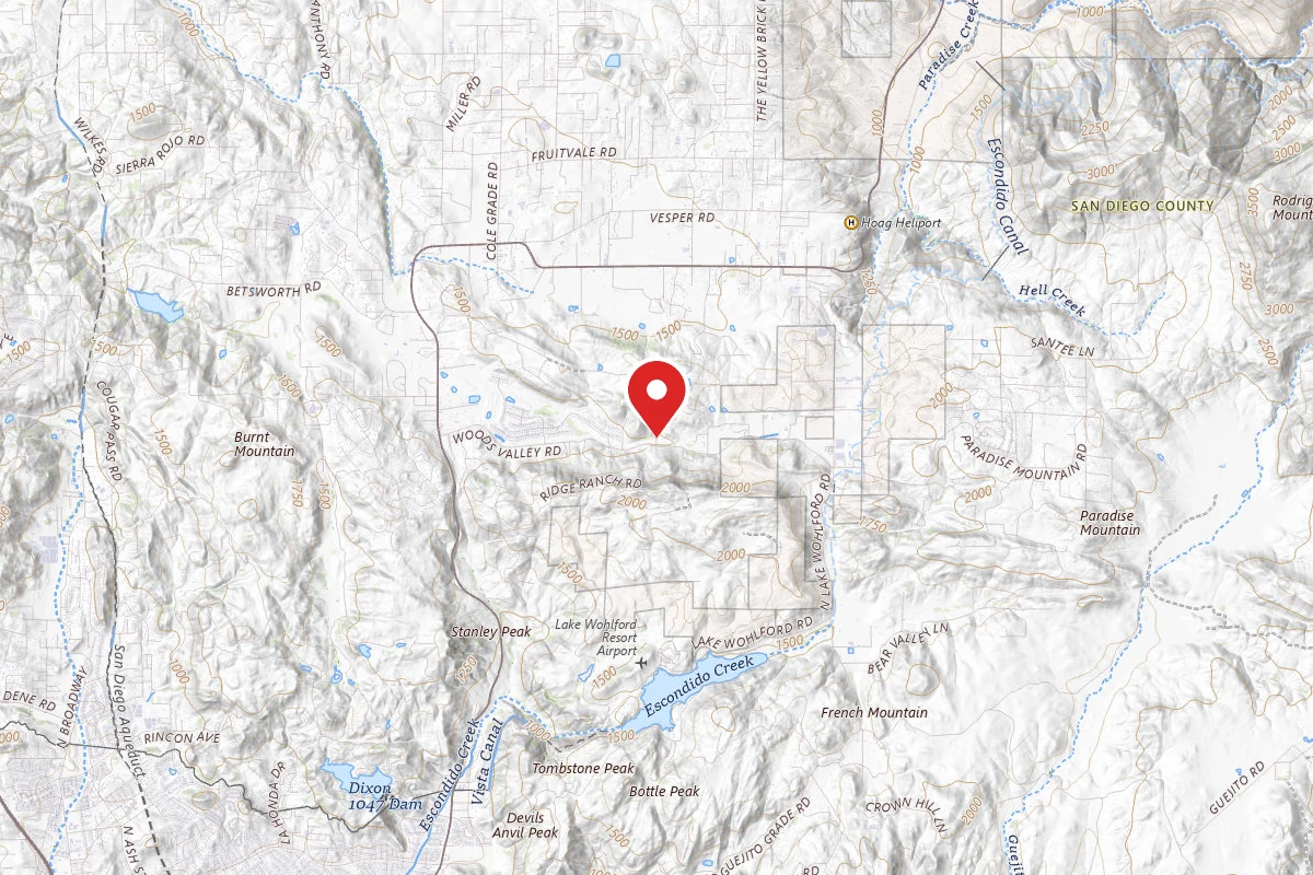
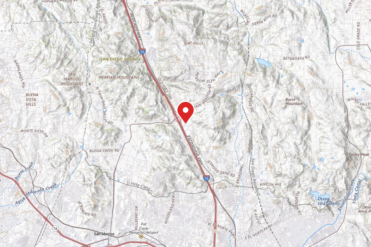
Escondido, California

17.9 mi

Distance

3,028 ft

Elev. Gain

7h 10m

Est. Time

Loop

Route Type

Expert

Difficulty

About This Trail

Imported description
Daley Ranch is a 3,058-acre conservation area acquired in 1996 by the City of Escondido and is managed in perpetuity for the preservation of a biologically unique and diverse habitat area of regional importance. This Loop is a revised version of the popular Daley Ranch Loop, it features most of the longer trails that connect to each other around the area, including Jack Creek Meadow Loop Trail, Engelmann Oak Trail and Boulder Loop Trail. Due to the distance and elevation, it is advised to start earlier in the morning, the average time to complete is 5 hours, mixing both jogging and power hiking. This is one of the longest routes that can be done inside the ranch, it features around 19 miles of scenic views. The course is built around the Ranch House water fountain, so you don't run out of water. The trails listed in order are: Creek Crossing Trail Sage Trail Jack Creek Meadow Loop Trail East Ridge Trail Ranch House St. (Water access if needed) Boulder Loop Trail Cougar Ridge Trail Engelmann Oak Trail (Taking the Burnt Mountain Shortcut for fun) Cougar Ridge Trail Crest Trail Ranch House St. (Water access if needed) Boulder Loop Trail Ranch House St. The trails are well marked, the course can be sliced in 3 parts: (Entrance) Creek Crossing Trail - Ranch House St. Just to get you in shape, the first part can be a bit steep at first, but when you get to middle part of the Sage Trail and until the Ranch House, the terrain is mostly flat and runnable. (Be sure to fill up your water reservoir and empty your bladder at the Ranch House). Ranch House St.- Engelmann Oak Trail You will encounter with long trail going north until you get to a Y at the end of the Cougar Ridge Trail, head to the right following the Engelmann Oak Trail, the terrain is mostly downwards and a bit technical (Treking poles are advised at this part), be sure to check the Burnt Mountain Trail as is one of the funnest downhill jogging trails of the ranch, but be cautious and smart about it, MTB: have fun. Engelmann Oak Trail - Ranch House St. (Exit) Really technical terrain at first, and one of the longest and steepest hills at the Cougar Ridge Trails (trekking poles are advised), but after that, the terrain is runnable, until you get to the Crest Trail, (MTB: enjoy it, Runners: be cautious as there are many bikers going down fast) after this, far down the road you will when you get to the Ranch House St. check your water reservoir so you don't run out of water before running around the Boulder Loop Trail. The exit is heading south on the paved street. Make sure to bring at least 2-3 liters of water, a compass and print the ranch map in a piece of paper (there is almost no cellphone signal at parts 2-3), be safe and have lots of fun.

Trail Conditions

Trail Conditions

Unknown

We have no current condition data for this trail. Check with the operator before you go, and submit a report below if you've been recently.

No recent condition reports. Be the first to share what you see on the trail.

Elevation Profile

Min:357 ft
Max:583 ft
923 ft
923 ft
357 ft432 ft508 ft583 ft0.0 mi4.5 mi8.9 mi13.4 mi17.9 mi

Trail Details

Route Type
Loop
Surface
Dirt

Official sources & verification

We don't have curated agency sources for this trail in our cache yet. Outdoors is not the permitting authority — confirm conditions, permits, and access with the managing agency before you go. If you know who manages this trail, please tell us.

Reviews

No reviews yet

Be the first to share your experience and help others plan their visit.

Legacy import — verify before navigating

Path geometry came from our pre-launch legacy database. Routes have not yet been re-verified against the operator and may differ from the actual trail.
Hunt context

This trail crosses hunting units

During hunting seasons, wear blaze orange and check regulations — see the California hunting page

Spot an error in our data on Sage to Jack Creek to Crest to Boulder Loop?