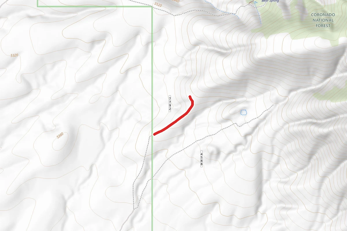
Radio
0.3 mi
Distance
112 ft
Elev. Gain
8m
Est. Time
Point to Point
Route Type
Easy
Difficulty
About This Trail
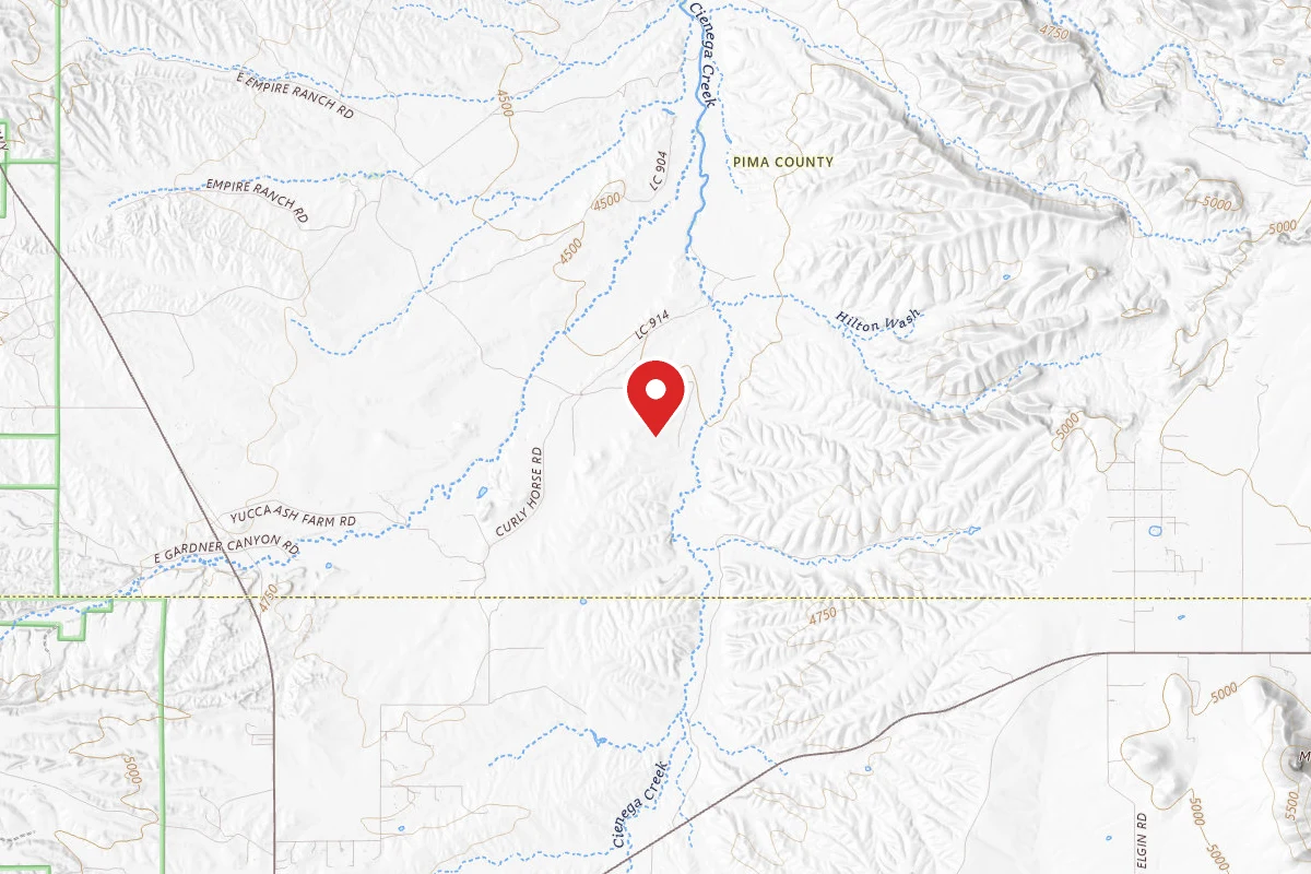
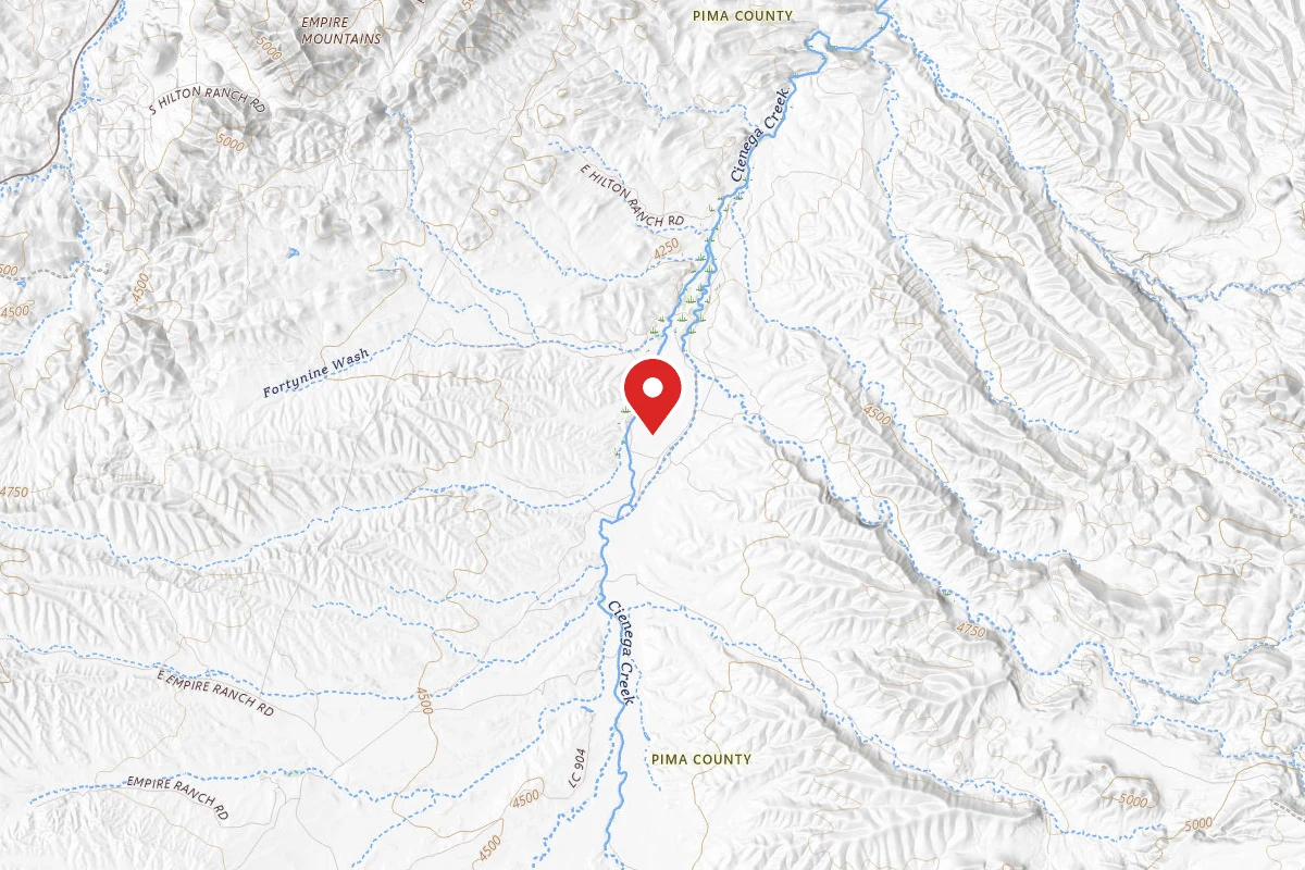
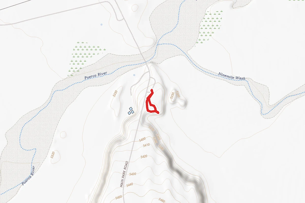
Radio is a point-to-point trail in Pima County, Arizona. It is 0.3 miles long and gains 112 feet. The surface is dirt. Per Arizona State Parks & Trails, it is open to bikes and horses. The nearest town is Elgin, Arizona, about 6 miles away in a straight line.
From the trail data on this page. For conditions and closures, see official sources.
Trail Conditions
Trail Conditions
We have no current condition data for this trail. Check with the operator before you go, and submit a report below if you've been recently.
No recent condition reports. Be the first to share what you see on the trail.
Elevation Profile
| Point | Distance from start | Elevation |
|---|---|---|
| Start | 0.0 mi | 1,662 ft |
| End | 0.3 mi | 1,699 ft |
Trail Details
Bike and horse access: Arizona State Parks & Trails, checked 2026-10-14. Rules change, so confirm with the land manager before you go.
- Route Type
- Point to Point
- Surface
- Dirt
Official sources & verification
Source of truth
- Agency source page
The page our published rules and notes are derived from.
Where it is
- Nearest town:
- Elgin, AZ · about 6 mi away
- County:
- Pima County, AZ
Nearest town and county from U.S. Census Bureau place records and county boundaries.
Reviews
No reviews yet
Be the first to share your experience and help others plan their visit.
Imported route
Nearby Trails
More trails near Radio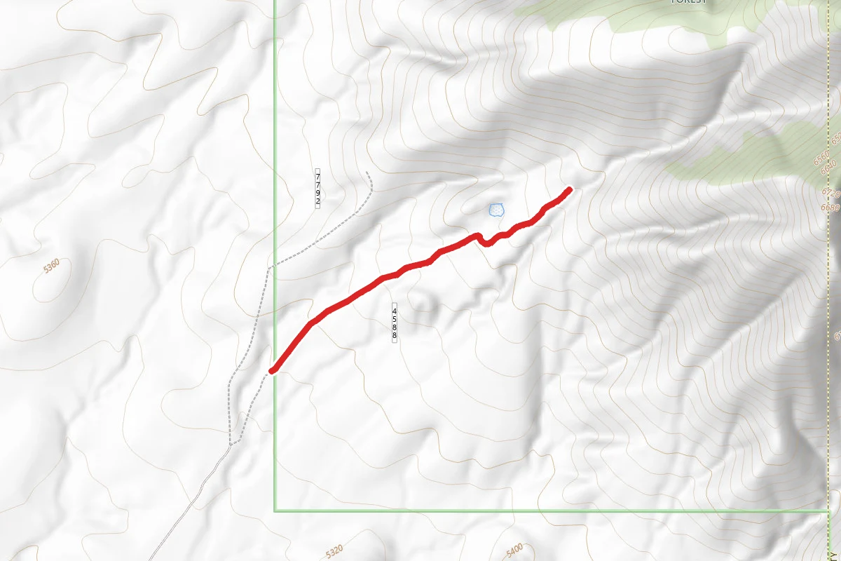
Quarry
0.2 mi away
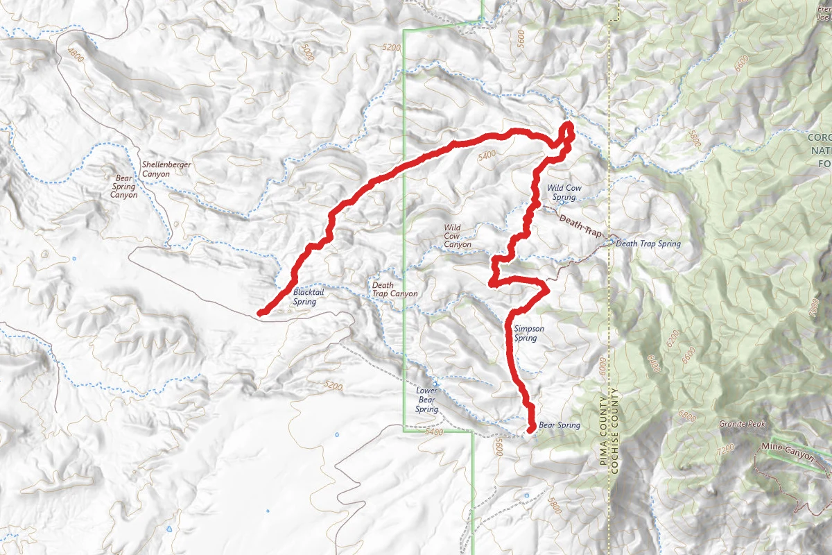
Wild Cow
0.7 mi away
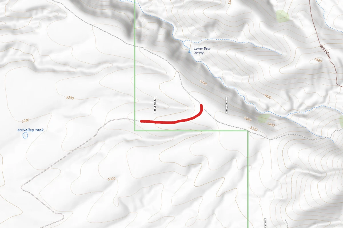
West Camp
0.8 mi away
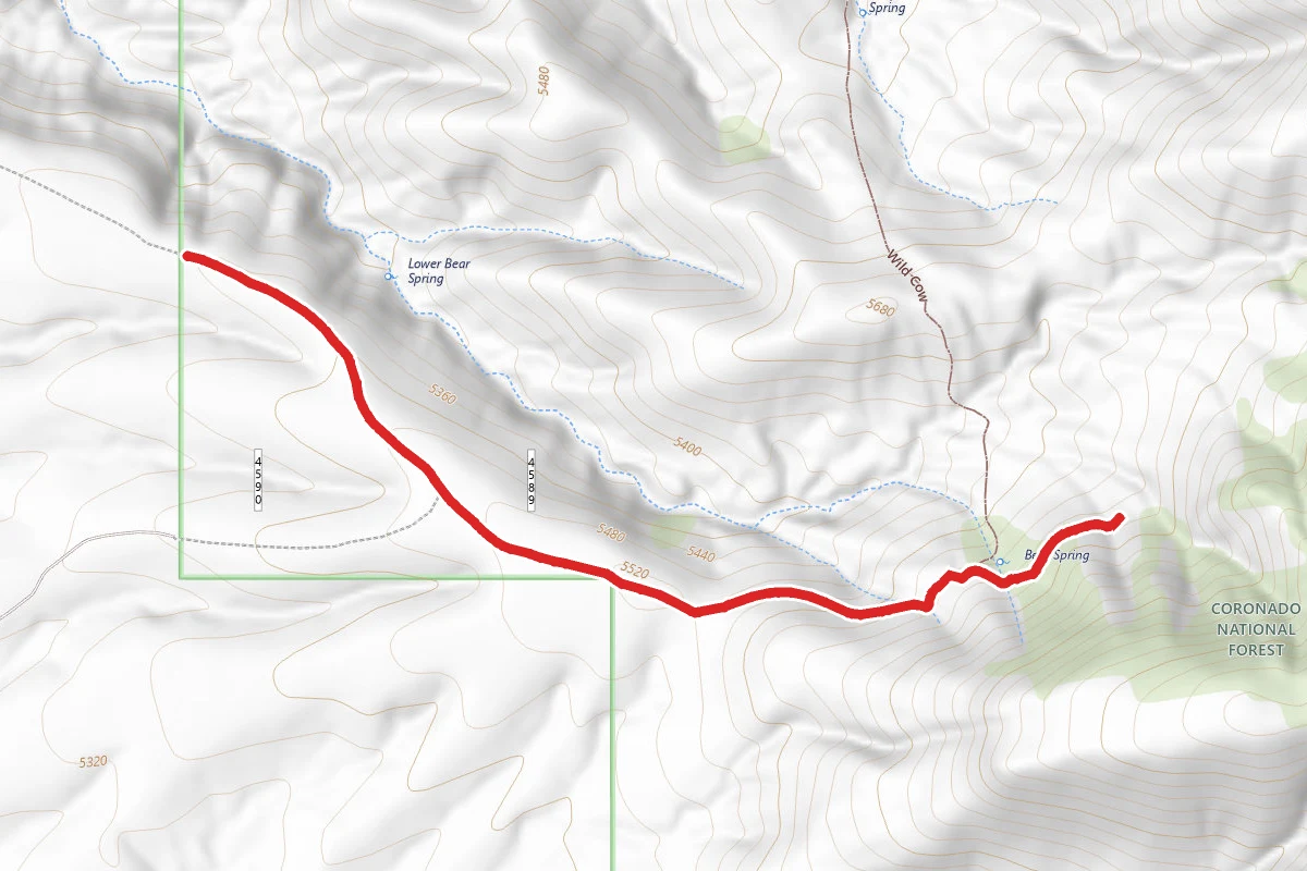
Coal Mine
0.9 mi away
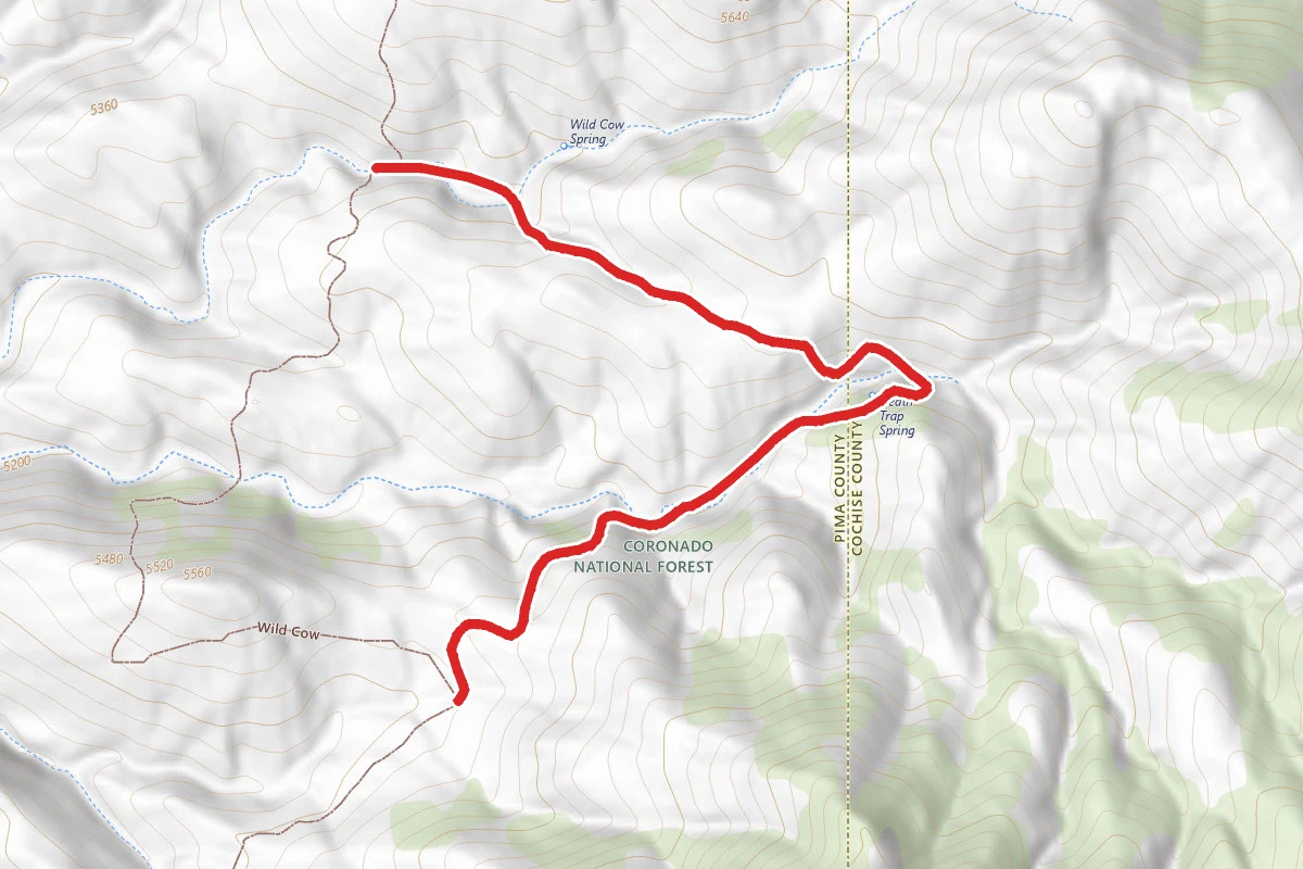
Death Trap
1.7 mi away
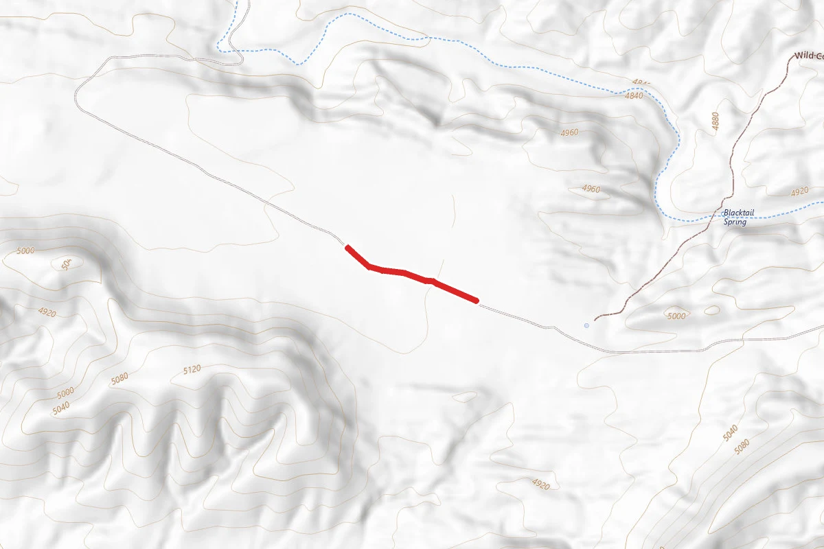
Mattie Canyon
2.3 mi away
Stay nearby
Campgrounds near this trail
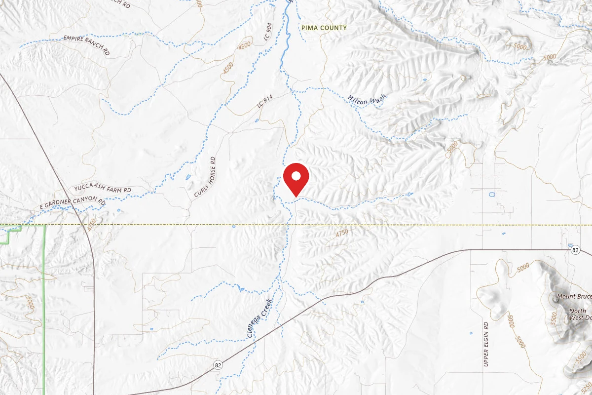


Similar length
Similar trails in Arizona
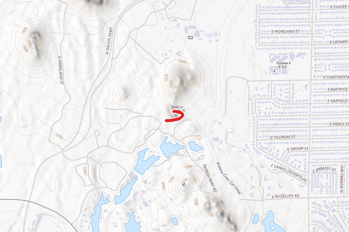
Hole in the Rock Trail
Arizona
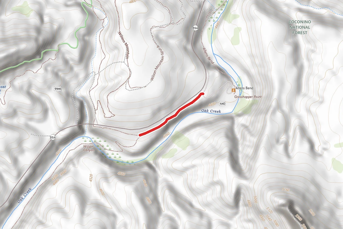
Oak Creek Trail
Arizona
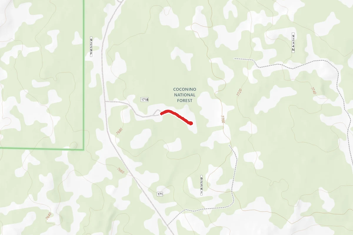
Lava River Cave
Arizona
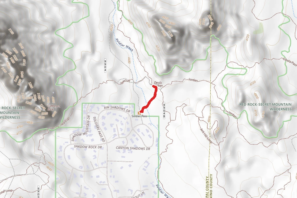
Devils Kitchen
Arizona
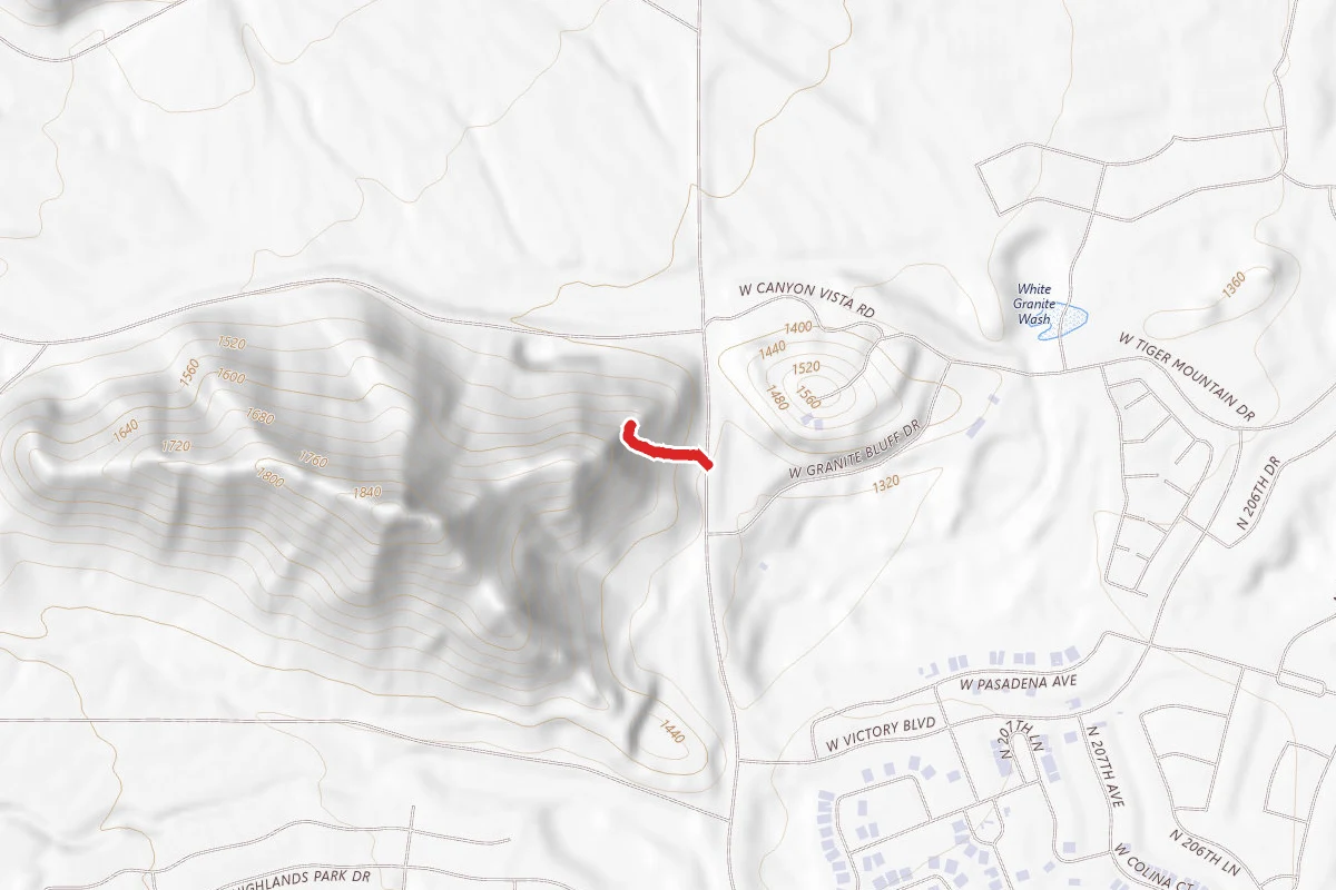
Victory Stairs
Arizona
Puerco Pueblo Trail
Arizona