Status unknown — verify before visiting

We don't have current condition data for this trail. Check with the land manager before you go.

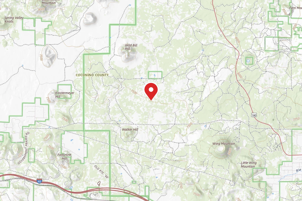
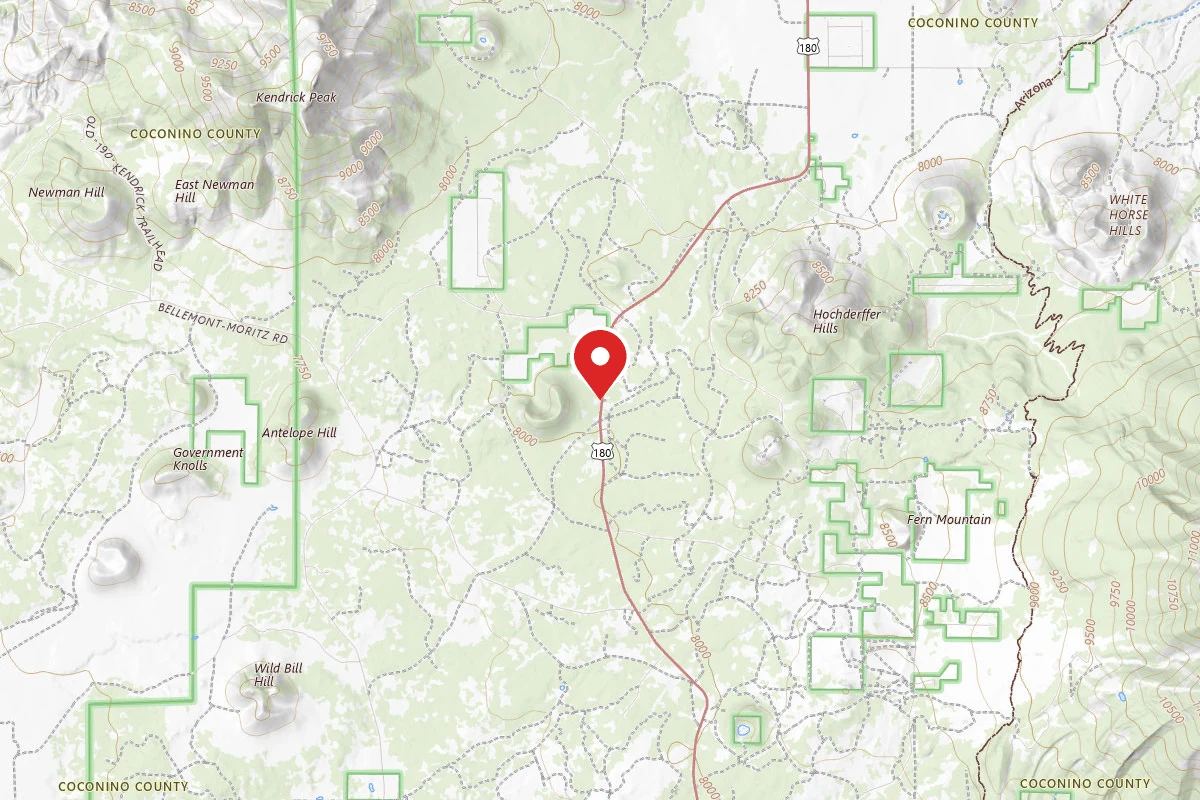
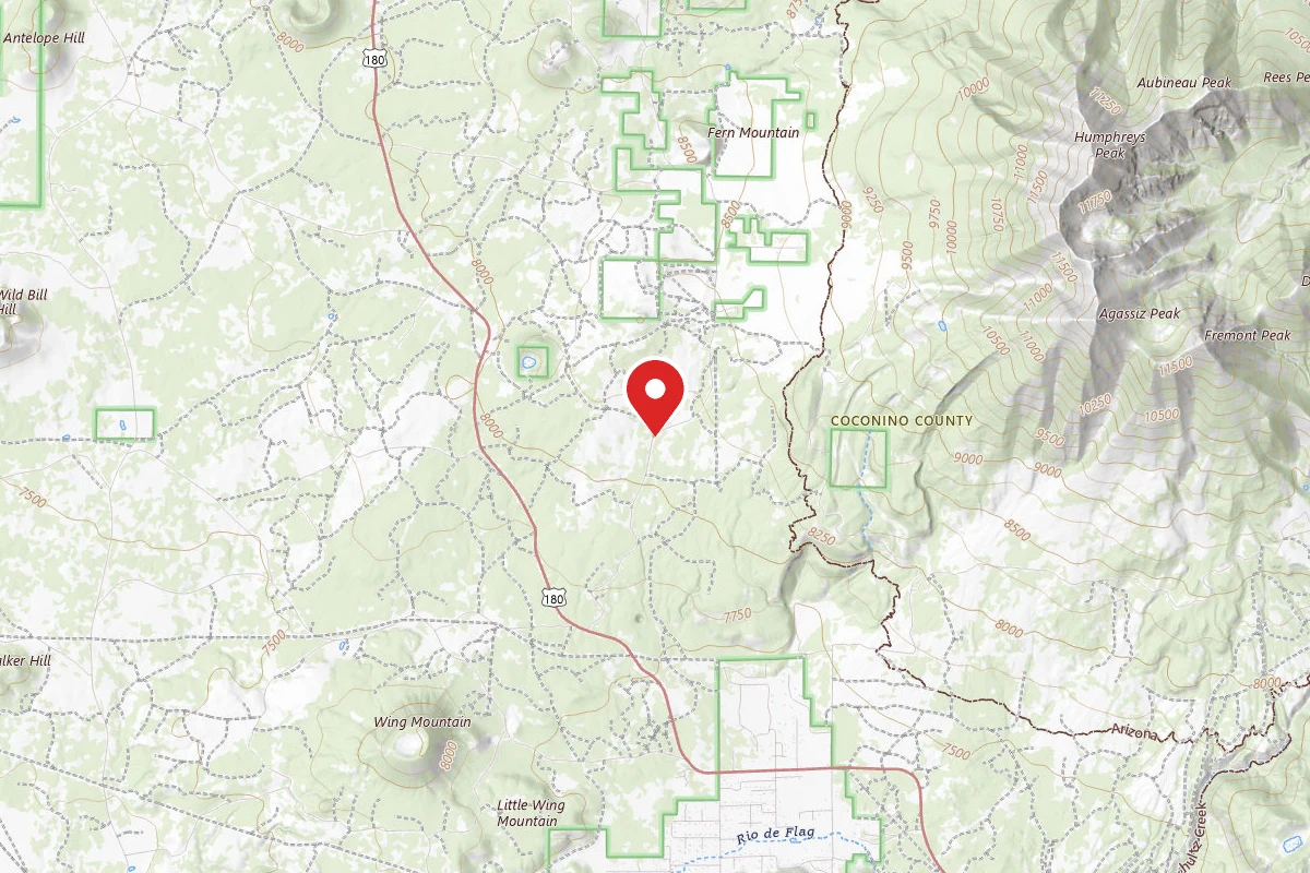
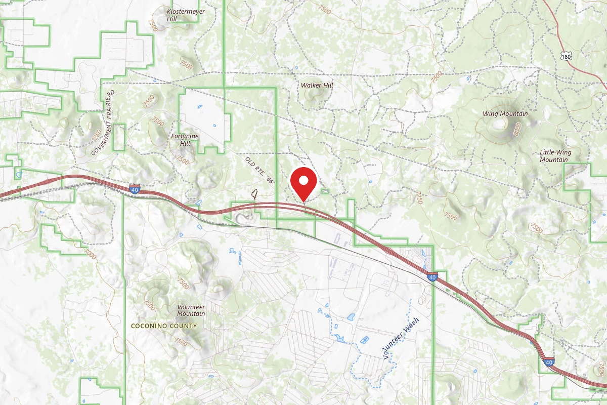
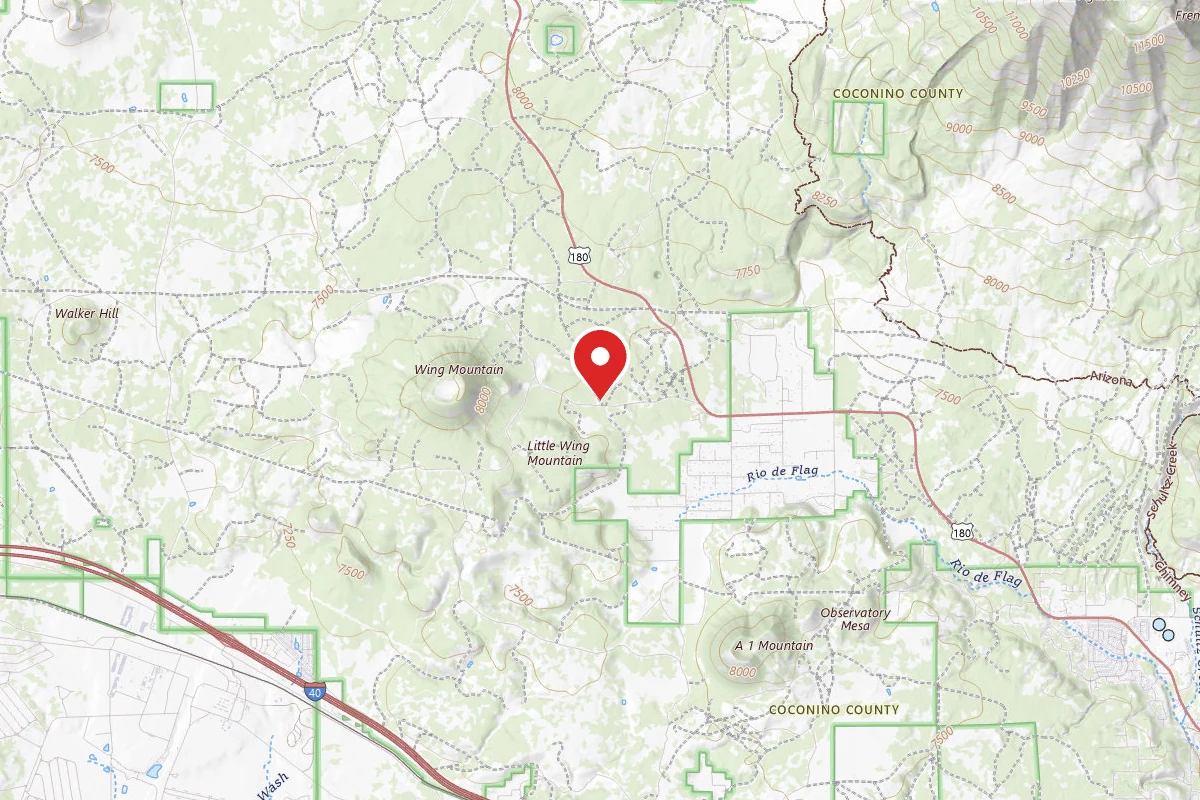
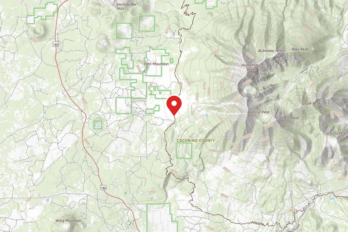
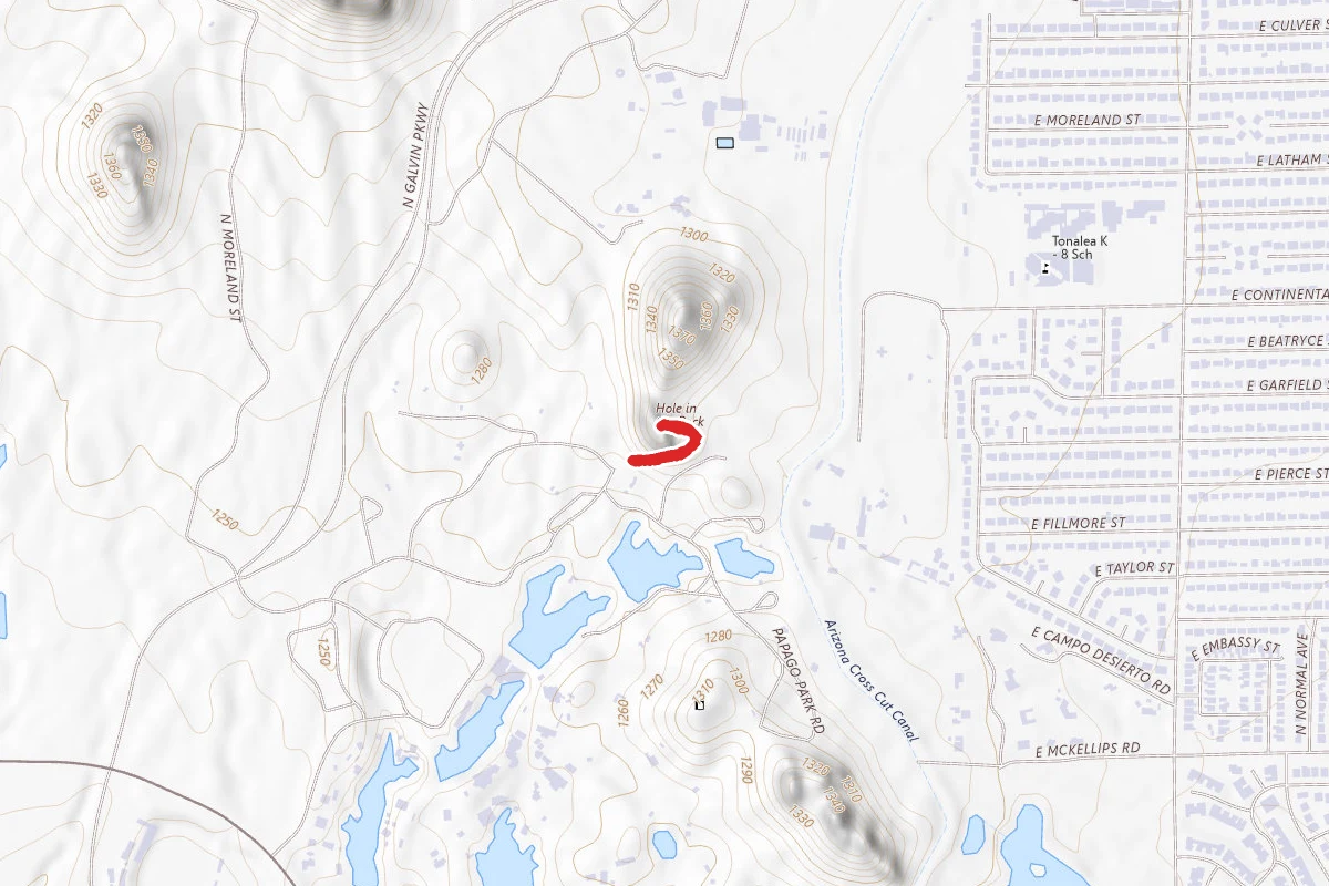
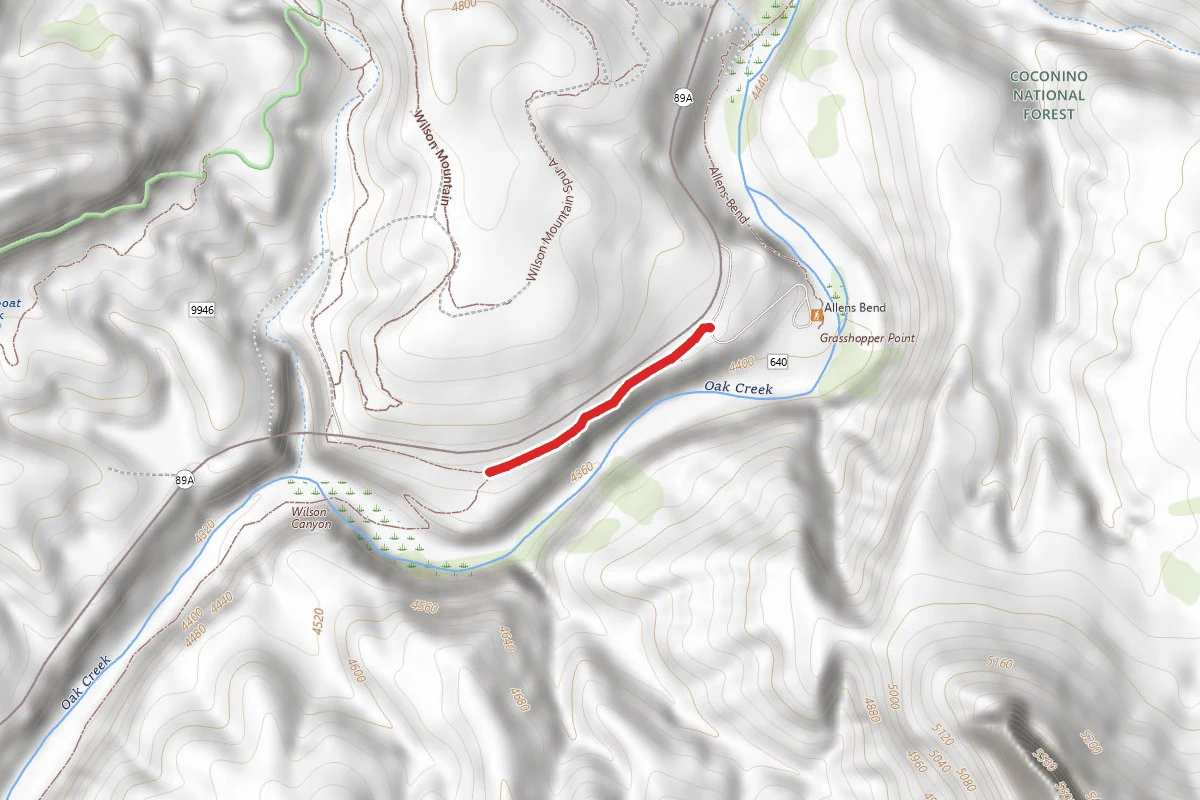
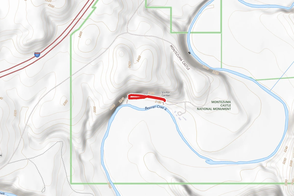
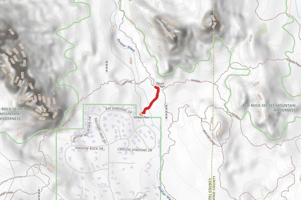
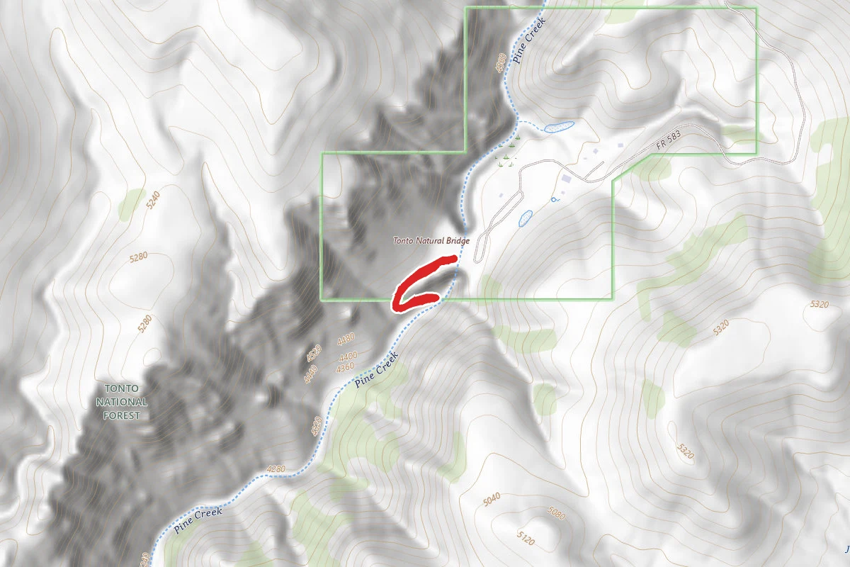
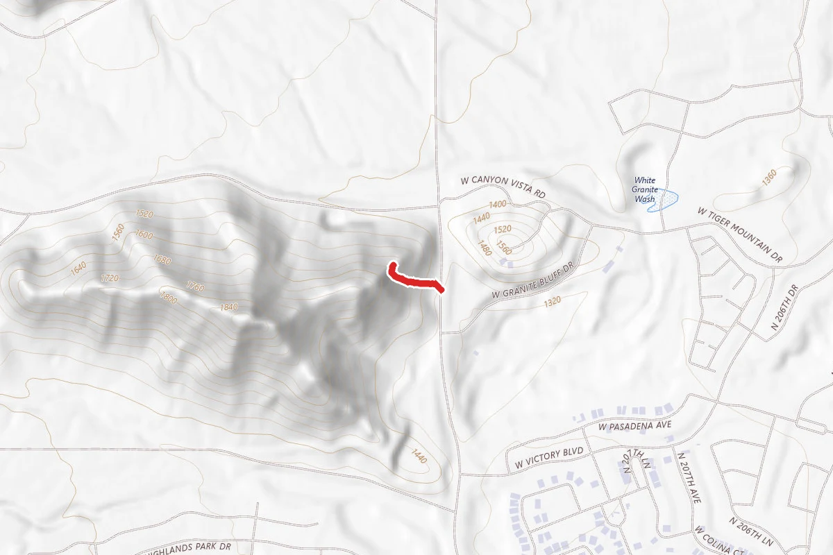
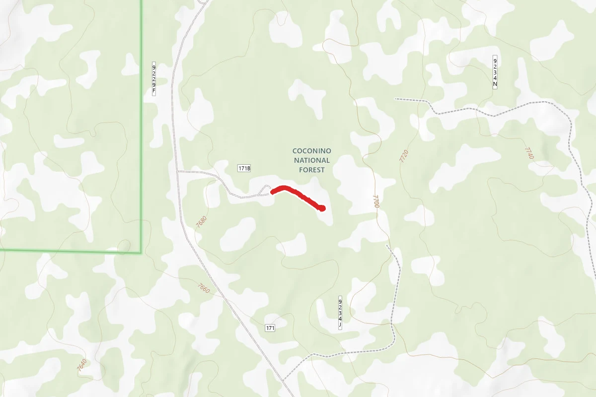
Lava River Cave route map
ModerateOut and Back

Lava River Cave

Flagstaff, Arizona

0.3 mi

Distance

33 ft

Elev. Gain

6m

Est. Time

Out & Back

Route Type

Moderate

Difficulty

About This Trail

Imported description
Note: The Lava River Cave is open year-round. However, Forest Roads 245 and/or 171 may be closed during the winter months. For more information, please see https://www.fs.usda.gov/recarea/coconino/recarea/?recid=55122&actid=102 The Lava River Cave is a natural formation remaining from a lava tube. The entrance to the cave is a rapid rock covered decent that "levels off". The cave floor is the cooled waves of lava that once flowed; it's very hard and uneven. There are some tight spots when crouching is required; large backpacks should be left at the surface. At the end of the main cave is a small cave just big enough to sit in; not for big guys or the claustrophobic. You definitely need a flashlight or a headlamp. The Lava River Cave is a unique trail that ties in excellently with the remains of volcanic activity elsewhere in the region. From SP Crater and Sunset Crater to the vast caldera of the San Francisco Peaks, you can see volcanos and cinder cones all over the Flagstaff area. This lava tube gives you another perspective and cool geologic insight into nearby eruptions from thousands of years ago. The scrambling at the entrance was a little frustrating because it presents an obstacle to getting down to the good stuff, and the rugged rocks continued throughout the cave—and appeared to be portions of the ceiling that had broken off and fallen to the floor. At one point, the trail splits in half. Take the trail to the left for an easier experience, or, go to the right if you want to crouch down and squeeze underneath a 3-foot clearance opening. There are one or two more parts where you have to do a little duck walk beneath low ceilings, so if this will be challenging for you, be advised.

From Wikipedia

The Lava River Cave near Bend, Oregon, is part of the Newberry National Volcanic Monument, which is managed by the United States Forest Service. At 5,211 feet (1,588 m) in length, the northwest section of the cave is the longest continuous lava tube in Oregon. While the cave's discovery in 1889 was officially credited to a pioneer hunter, the presence of obsidian flakes near the cave has led archaeologists to conclude that Native Americans knew about the cave long before settlers arrived in central Oregon.

Source: Wikipedia — text licensed CC BY-SA 4.0. Verify trail conditions and seasonal closures with the managing agency before you go.

Trail Conditions

Trail Conditions

Unknown

We have no current condition data for this trail. Check with the operator before you go, and submit a report below if you've been recently.

No recent condition reports. Be the first to share what you see on the trail.

Elevation Profile

Min:2,349 ft
Max:2,354 ft
10 ft
10 ft
2,349 ft2,351 ft2,352 ft2,354 ft0.0 mi0.1 mi0.1 mi0.2 mi0.3 mi

Trail Details

Route Type
Out & Back
Surface
Dirt

Official sources & verification

We don't have curated agency sources for this trail in our cache yet. Outdoors is not the permitting authority — confirm conditions, permits, and access with the managing agency before you go. If you know who manages this trail, please tell us.

Reviews

No reviews yet

Be the first to share your experience and help others plan their visit.

Legacy import — verify before navigating

Path geometry came from our pre-launch legacy database. Routes have not yet been re-verified against the operator and may differ from the actual trail.

Hunt context

This trail crosses hunting units

During hunting seasons, wear blaze orange and check regulations — see the Arizona hunting page

Spot an error in our data on Lava River Cave?