Status unknown — verify before visiting

We don't have current condition data for this trail. Check with the land manager before you go.

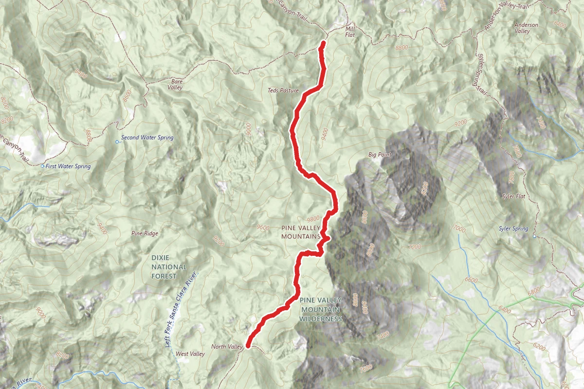
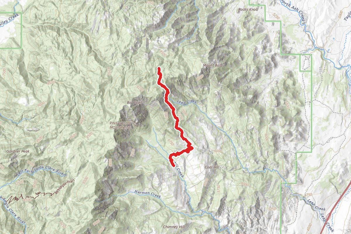
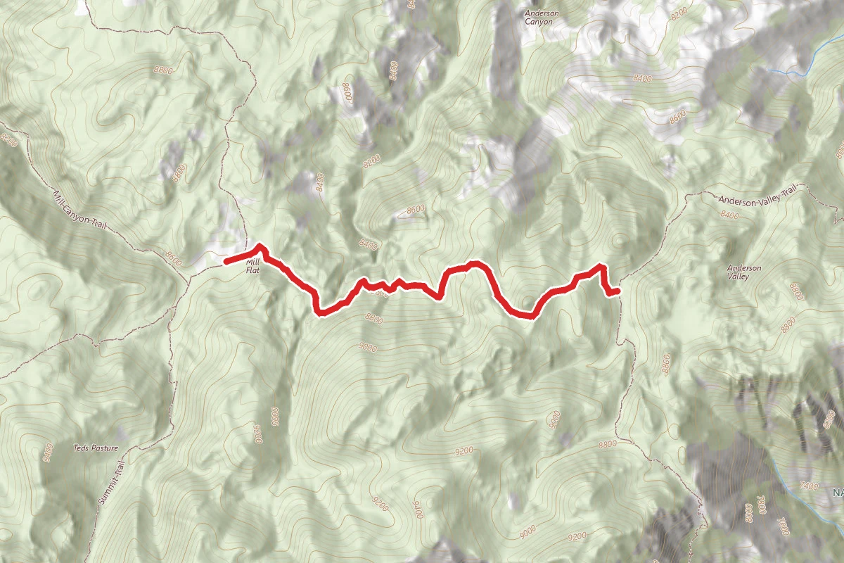
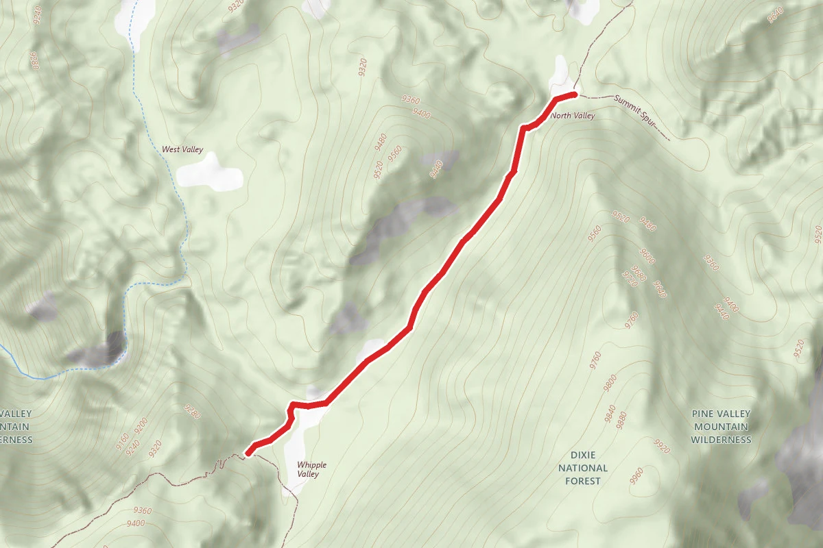
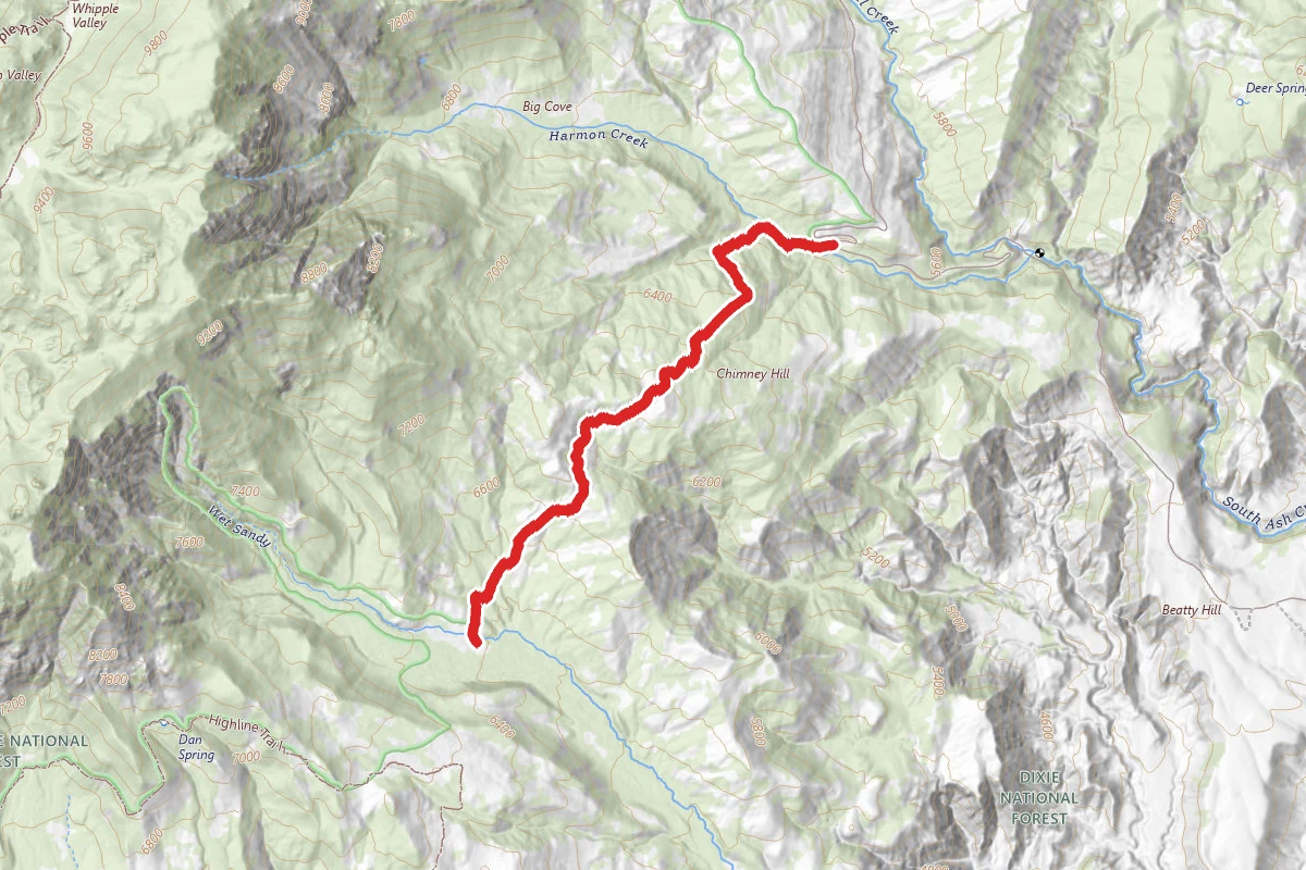
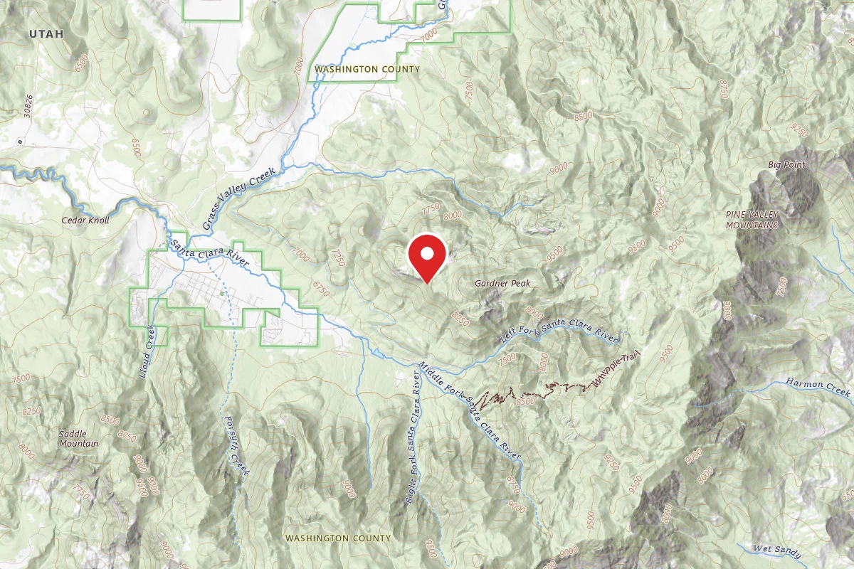
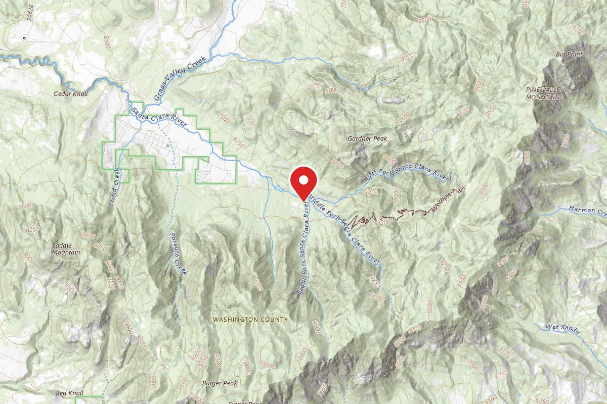
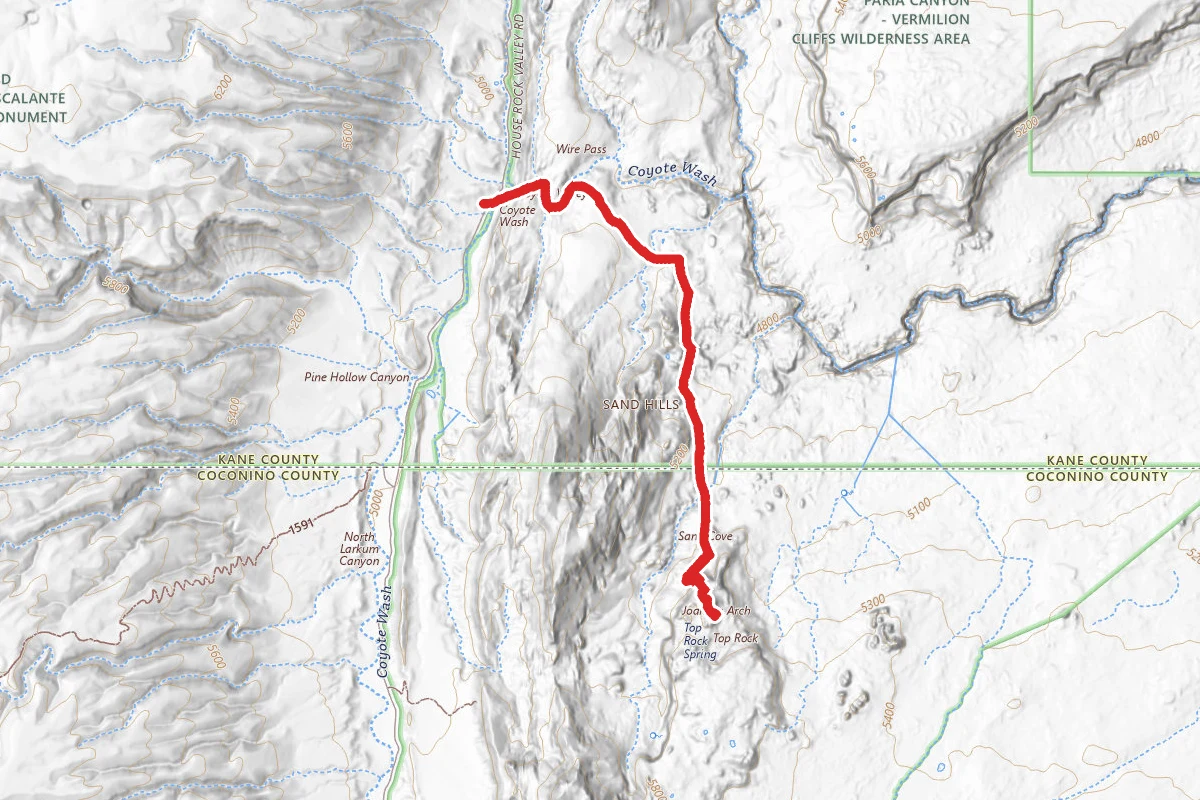
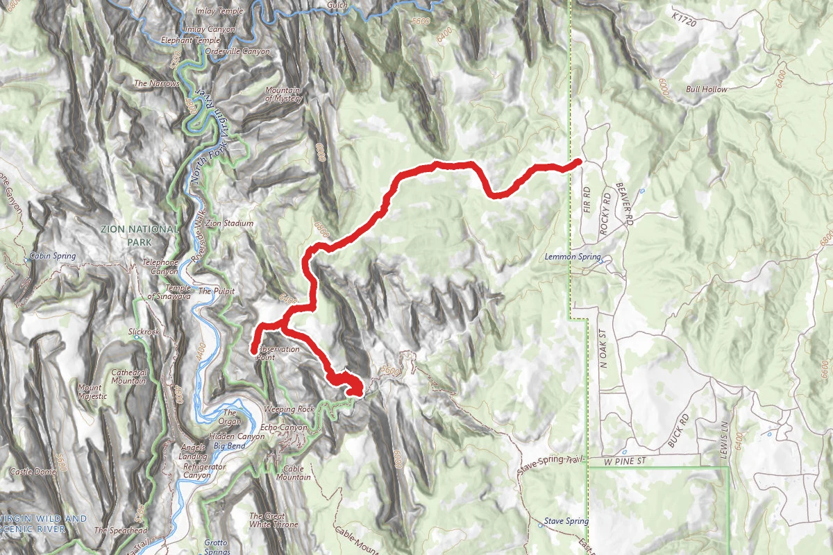
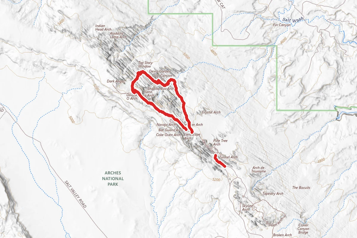
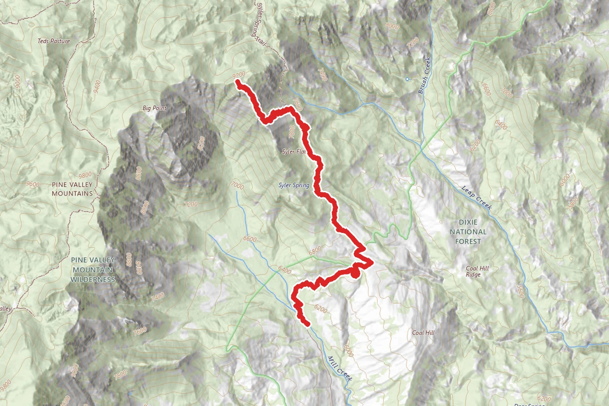
Peak 9380 Big Point route map
ExpertOut and Back

Peak 9380 Big Point

Cedar City, Utah

8.9 mi

Distance

3,701 ft

Elev. Gain

1h 42m

Est. Time

Out & Back

Route Type

Expert

Difficulty

About This Trail

Imported description
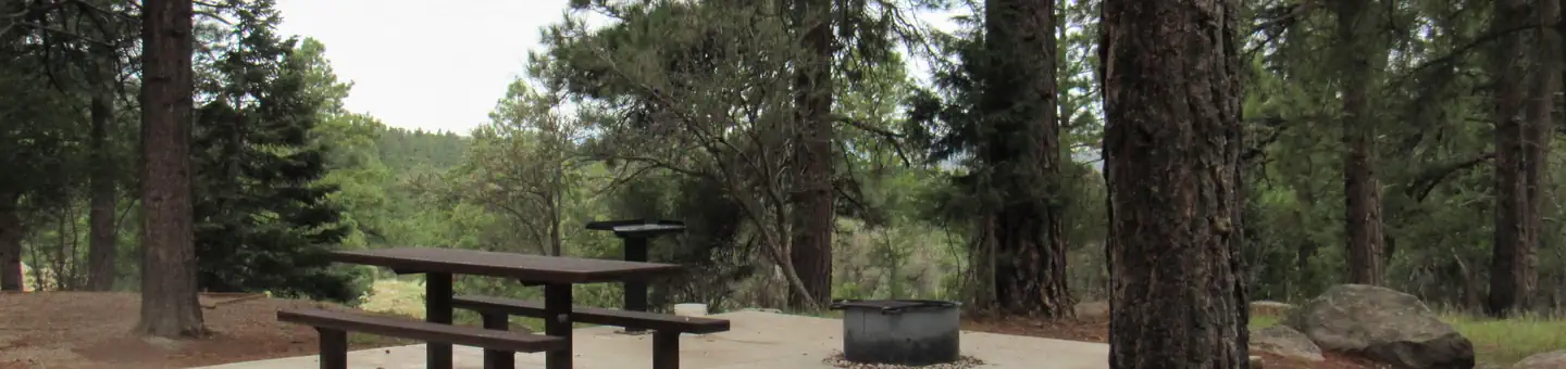
Any trip into Pine Valley Mountain Wilderness is a primitive backcountry experience.  Rugged and breathtaking the Wilderness Preservation System designated 50,000 acres as the Pine Valley Mountain Wilderness in 1984. No motorized vehicles or mechanical equipment are allowed in any wilderness areas. Take I-15 exit 30 west to the Browse ranger station.  A grueling 1.5 hour long drive over "Primitive Road Conditions".  A 4x4 wheel, high clearance vehicle is required, for this 7.5 mile long stretch of road.  The first 4 miles is maintain gravel to a staging area and lookout, then the road drops down along the hillside in a tire slicing, rocky trail road.  Proceed with caution. The Browse ranger station is unmanned and warning signs announce risk of disease upon entry.  The hut in nestled among some beautiful pine trees and Mill Creek runs near by, creating a story book setting. The trailhead, information sign is to the left of the hut and the trail is well marked. Hiking among the pine trees with a gentle grade, the sound of Mill Creek is soothing after the spine jamming entrance.  Soon a junction is reached with an iron works gate restricting entry only to hikers and horses.  The well traveled path continues west. Make sure you proceed through the restricting gate. Dixie National Forest trail 3009 known as "Leap Creek Trail" is reached at a junction about two miles into the hike.  Turn west and proceed up the little used trail toward the foothills of Peak 9380.  Elevation is creating a beautiful view to the East as the Red Pillars of Kolob Canyons and the White ridge lines of Zion National Park can be seen.  To the west is the stunning rocky face of Big Point, piercing the sky at 10,024 feet. The trail is easy to follow and caution is needed on the stony path.  Ruts keep the vegetation at bay, sometimes the ruts become small canyons and need to be hiked around. Syler Flat, is a welcome reprieve from the uphill climb.  Breaking onto this high mountain flat is a wonder to behold. Prior forest fires have marred the edges of this level patch of earth, in a battle between firefighter and nature, thankfully firefighters won the day preserving the bulk of the beautiful flat. Exiting the flat, looking west, Peak 9380 begins to take shape.  The trail is difficult to follow around and through the battle zone leaving Syler Flat, and a good eye is needed to stay on the correct path.  As the trail skirts the hillside, it begins to drop into Leap Creek gorge.  Breathtaking views are had across the gorge, and the rugged rocky top of Mount Baldy can be seen.  A cairn marks the spot where Trail 3009 is exited, in favor of a backcountry route to the summit.  Faint game trails can be seen, and should be followed, in the zig zagging fashion around the many fallen trees.  Be mindful of the steep terrain, ample bushwacking, and dead trees.  Mammoth Ponderosa pine lay on their sides, on a steep hill, held in place by only other dead trees. Arriving at the ridge line, beautiful views into the next gorge, separate Peak 9380 from the Big Point summit. A beautiful thing about the high country of Pine Valley Mountain Wilderness is the many Mule Deer that inhabit the area.  A 200 pound animal can create a nice trail, keeping the bushwacking to a minimum.  Pick the most direct route, following natures guides and soon the summit is obtained.  No summit cairn was found, and no registration.

Trail Conditions

Trail Conditions

Unknown

We have no current condition data for this trail. Check with the operator before you go, and submit a report below if you've been recently.

No recent condition reports. Be the first to share what you see on the trail.

Elevation Profile

Min:1,867 ft
Max:2,851 ft
1,128 ft
1,128 ft
1,867 ft2,195 ft2,523 ft2,851 ft0.0 mi2.2 mi4.5 mi6.7 mi8.9 mi

Trail Details

Route Type
Out & Back
Surface
Dirt

Official sources & verification

We don't have curated agency sources for this trail in our cache yet. Outdoors is not the permitting authority — confirm conditions, permits, and access with the managing agency before you go. If you know who manages this trail, please tell us.

Reviews

No reviews yet

Be the first to share your experience and help others plan their visit.

Legacy import — verify before navigating

Path geometry came from our pre-launch legacy database. Routes have not yet been re-verified against the operator and may differ from the actual trail.

Hunt context

This trail crosses hunting units

During hunting seasons, wear blaze orange and check regulations — see the Utah hunting page

Spot an error in our data on Peak 9380 Big Point?