Status unknown — verify before visiting

We don't have current condition data for this trail. Check with the land manager before you go.

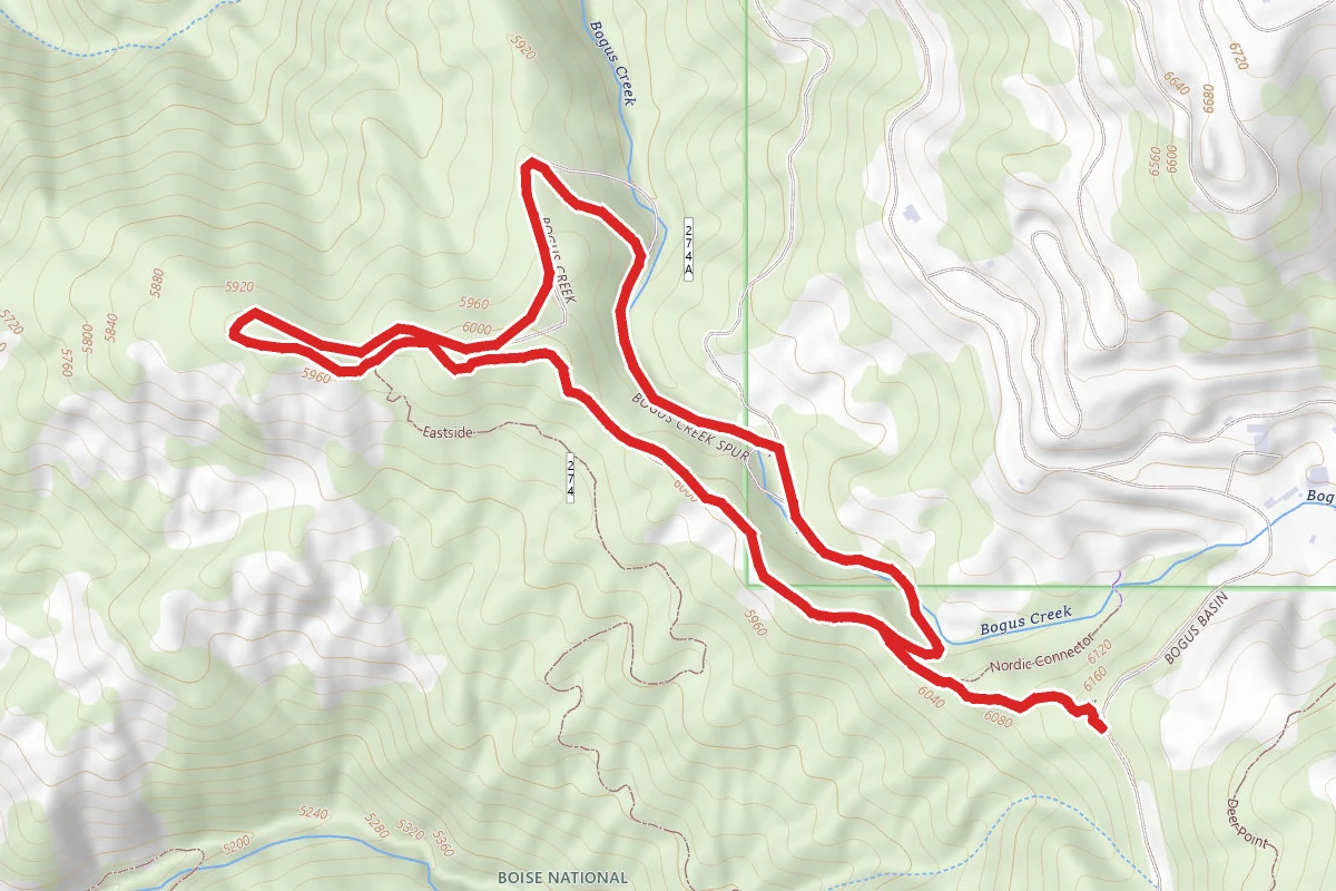
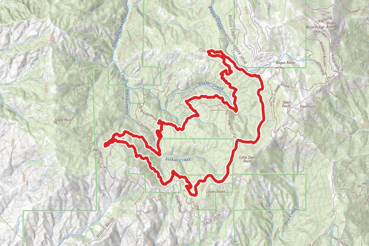
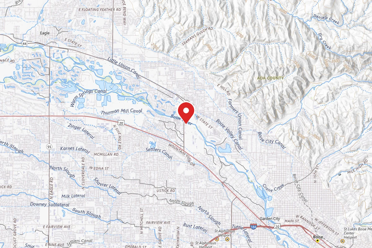
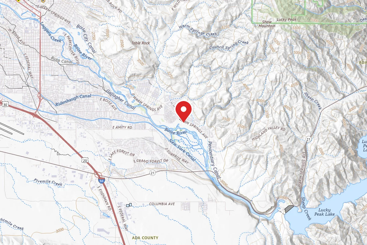
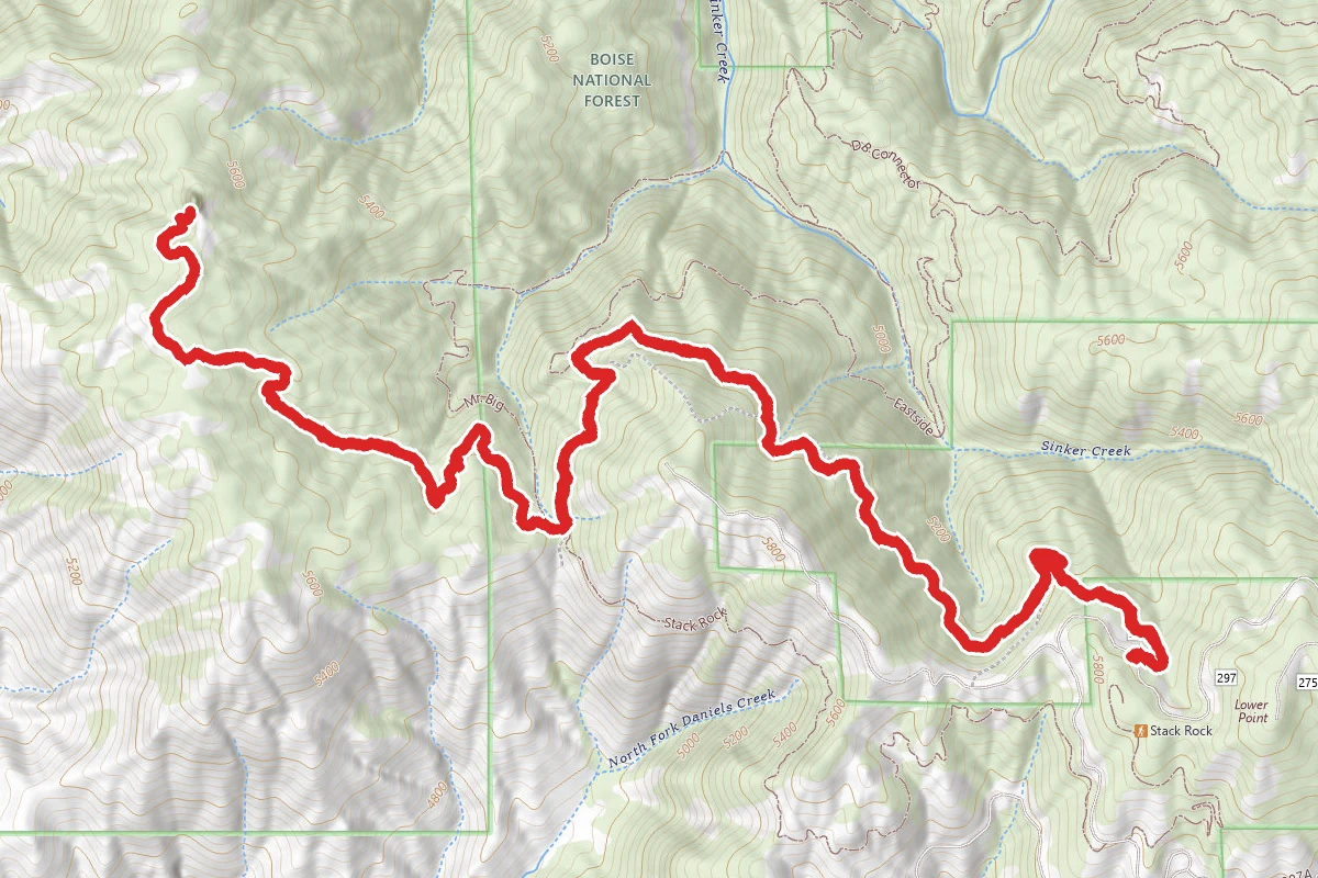
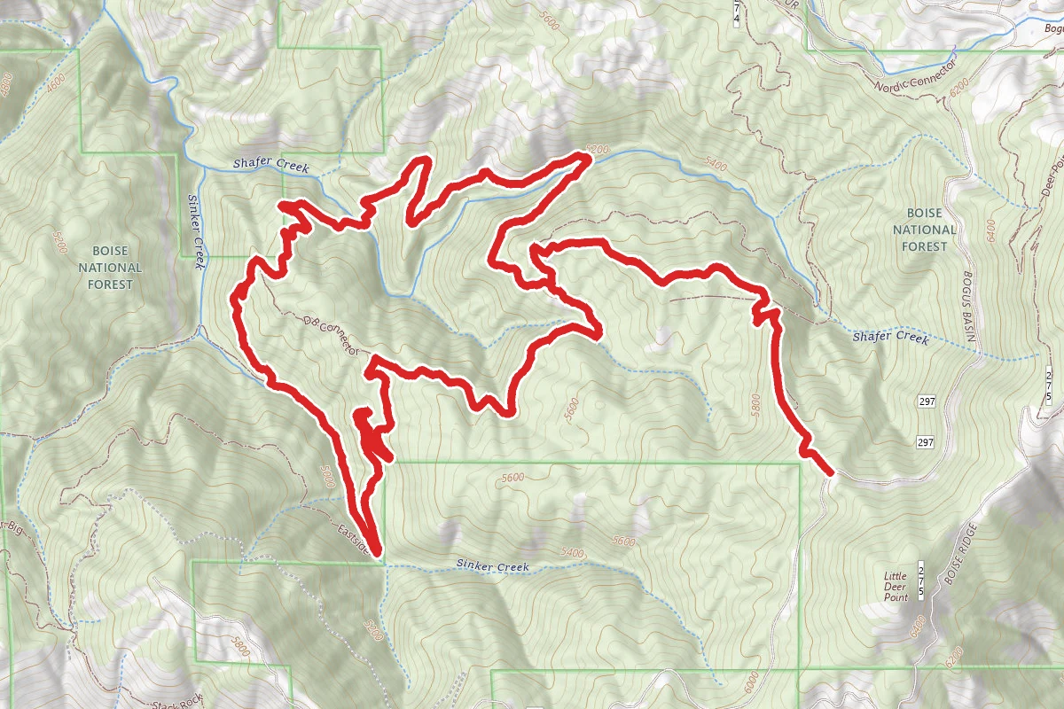
Pat's Trail Loop route map
DifficultLoop

Pat's Trail Loop

Boise, Idaho

7.5 mi

Distance

2,333 ft

Elev. Gain

3h 23m

Est. Time

Loop

Route Type

Difficult

Difficulty

About This Trail

Imported description
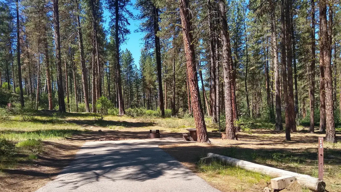
A trail consisting of nothing but cool, shady singletrack and minimal traffic. The only downside is the 1.6 mile, 850' grind back up Pat's Trail to the trailhead. Park at the trailhead for Pat's Trail (a wider than normal slow vehicle turnout). From there, it's sandy singletrack downhill through pine forest. At the bottom of Pat's, it tees into Eastside Trail. Hang a left and follow Eastside Trail for about a tenth of a mile. From there, hang a right on Sinker Creek Trail and enjoy the lush vegetation and the gentle downhill. At 3.2 miles, you'll splash across Shafer Creek - this is a great opportunity to soak your hat, shirt or bandanna if you're getting warm. Time for a small climb. In late July and August, there are ripe huckleberries along the first part of the climb - Enjoy! After about 3/4 of a mile of climbing (4 miles total), you'll hit the crossing for DB Connector. If you're thinking you might want to cut the hike short, DB Connector will shave nearly 2 miles of distance and 200 ft of climb off the route. Otherwise, continue on Sinker Creek Trail as it drops down to its namesake. There is an intersection with Mr. Big Trail at this point, but stay left to stay on Sinker Creek. Follow Sinker Creek Trail along a gentle uphill paralleling Sinker Creek itself, while dodging the occasional cow patty. At 5.1 miles, Sinker Creek tees into Eastside Trail. This is another good spot to soak your hat, shirt, etc. in the creek before turning left and starting the climb out. From here until you get back to Pat's, you'll encounter more mountain bikers coming from in front of you, as Eastside is a popular downhill trail. At 6.1 miles, you'll come across DB Connector again, but you'll want to stay right and keep on Eastside. Lot of wildflowers, chipmunks, black squirrels, and granite rock formations, along with some really nice views off to the left. At 7.2 miles, you see Sinker Creek Trail again, but stay right on Eastside for another tenth of a mile until you get to Pat's Trail. The climb up to the trailhead is beautiful, with lots of spots to take in the views while you rest, but, yeah, it's 800+ feet of climb at a point you're feeling more than a little wrung out. Take lots of pictures - no rush.

Trail Conditions

Trail Conditions

Unknown

We have no current condition data for this trail. Check with the operator before you go, and submit a report below if you've been recently.

No recent condition reports. Be the first to share what you see on the trail.

Elevation Profile

Min:1,474 ft
Max:1,895 ft
711 ft
711 ft
1,474 ft1,614 ft1,755 ft1,895 ft0.0 mi1.9 mi3.7 mi5.6 mi7.5 mi

Trail Details

Route Type
Loop
Surface
Dirt

Official sources & verification

We don't have curated agency sources for this trail in our cache yet. Outdoors is not the permitting authority — confirm conditions, permits, and access with the managing agency before you go. If you know who manages this trail, please tell us.

Reviews

No reviews yet

Be the first to share your experience and help others plan their visit.

Legacy import — verify before navigating

Path geometry came from our pre-launch legacy database. Routes have not yet been re-verified against the operator and may differ from the actual trail.

Hunt context

This trail crosses hunting units

During hunting seasons, wear blaze orange and check regulations — see the Idaho hunting page

Spot an error in our data on Pat's Trail Loop?