Status unknown — verify before visiting

We don't have current condition data for this trail. Check with the land manager before you go.

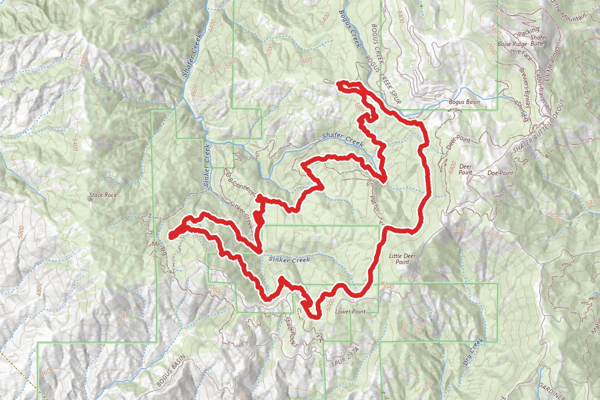
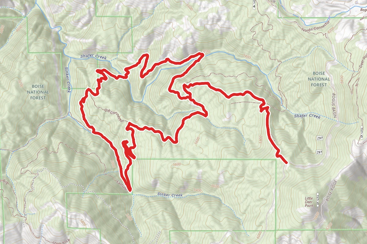
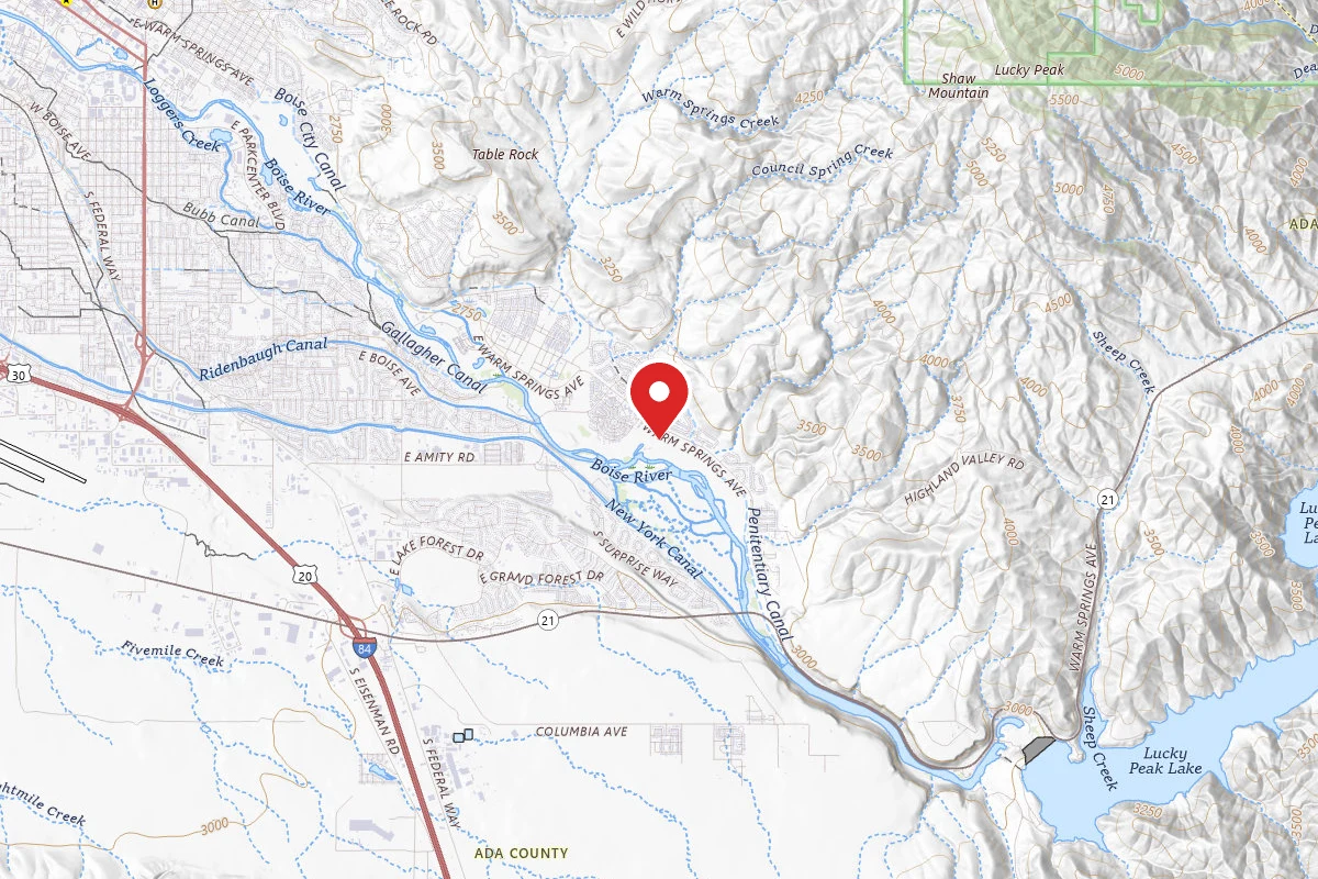
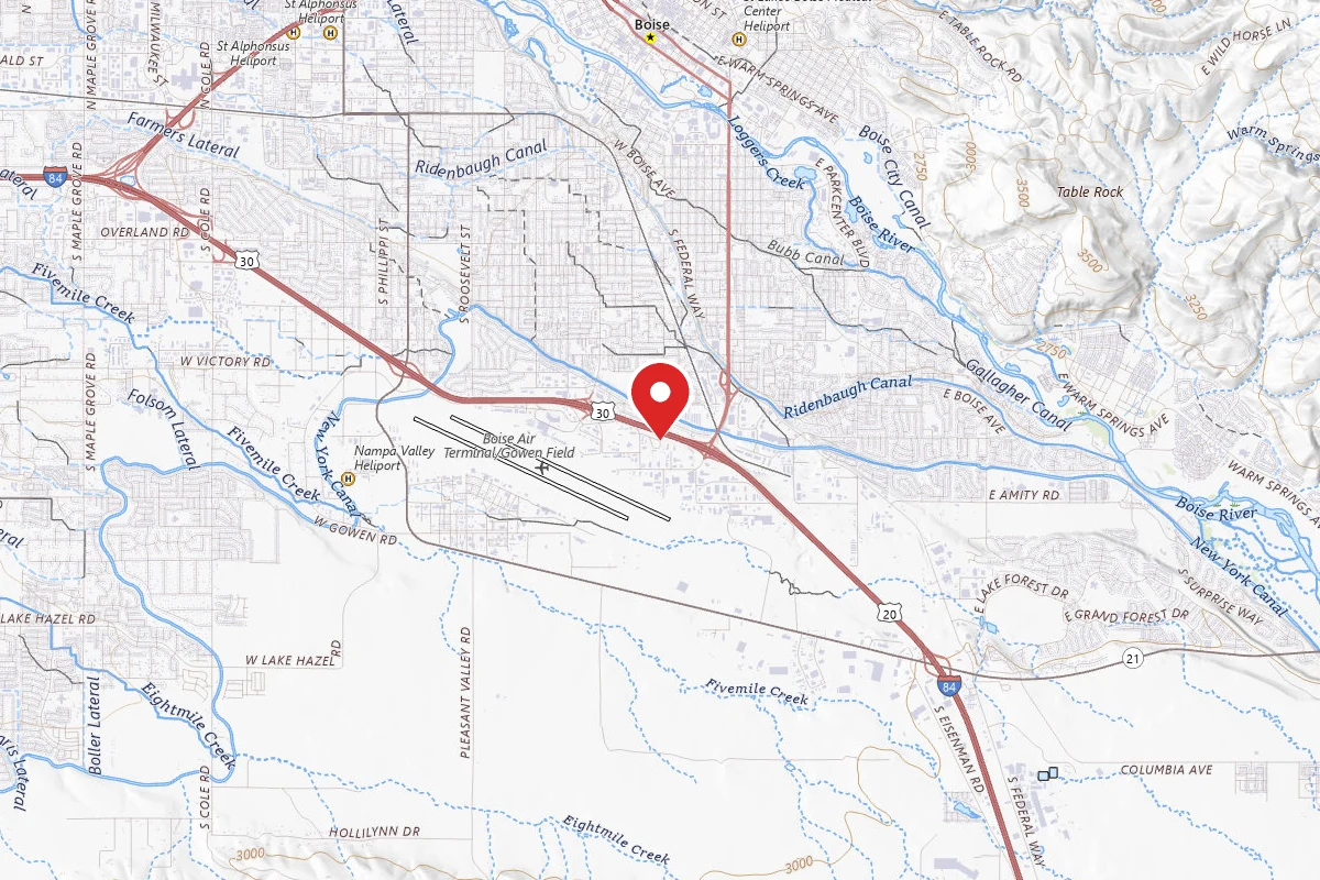
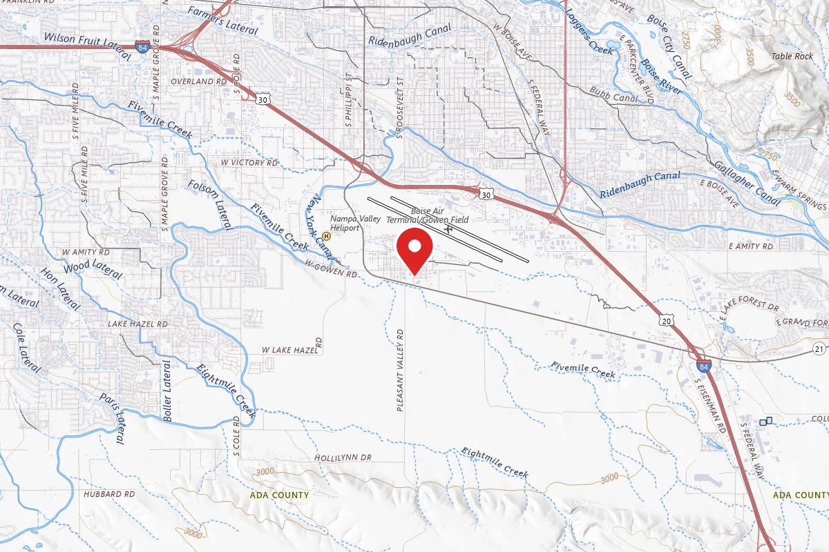
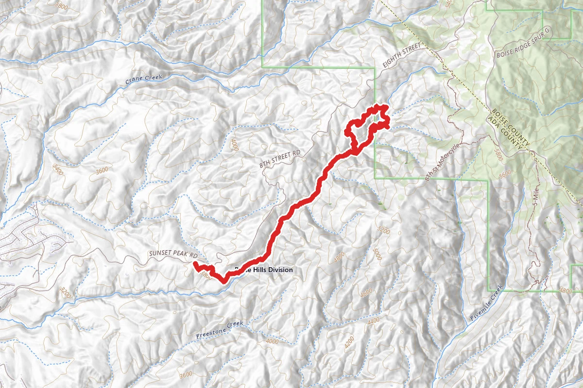
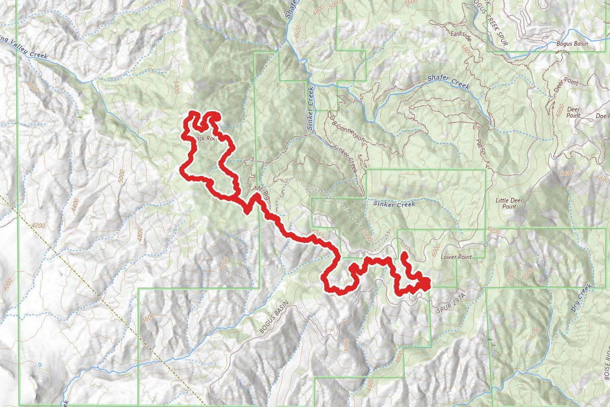
Freddy's Stack Rock Trail route map
ExpertOut and Back

Freddy's Stack Rock Trail

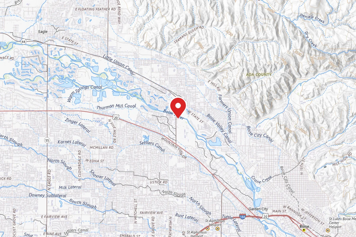
Boise, Idaho

11.7 mi

Distance

4,255 ft

Elev. Gain

4h 34m

Est. Time

Out & Back

Route Type

Expert

Difficulty

About This Trail

Imported description
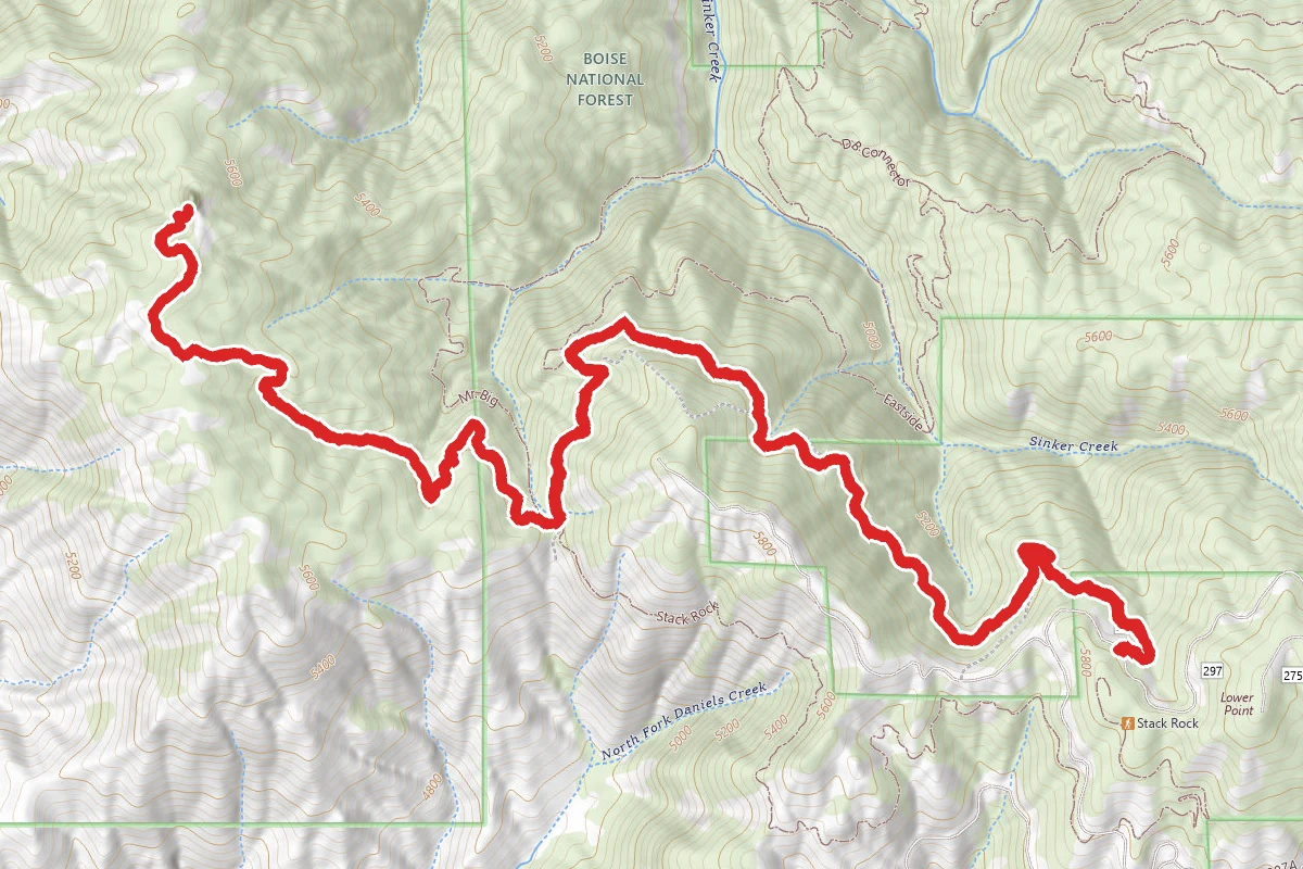
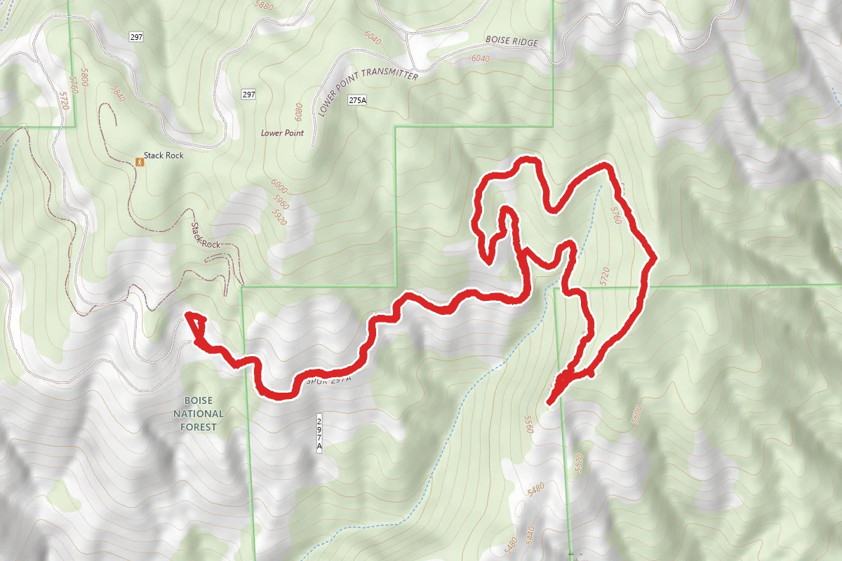
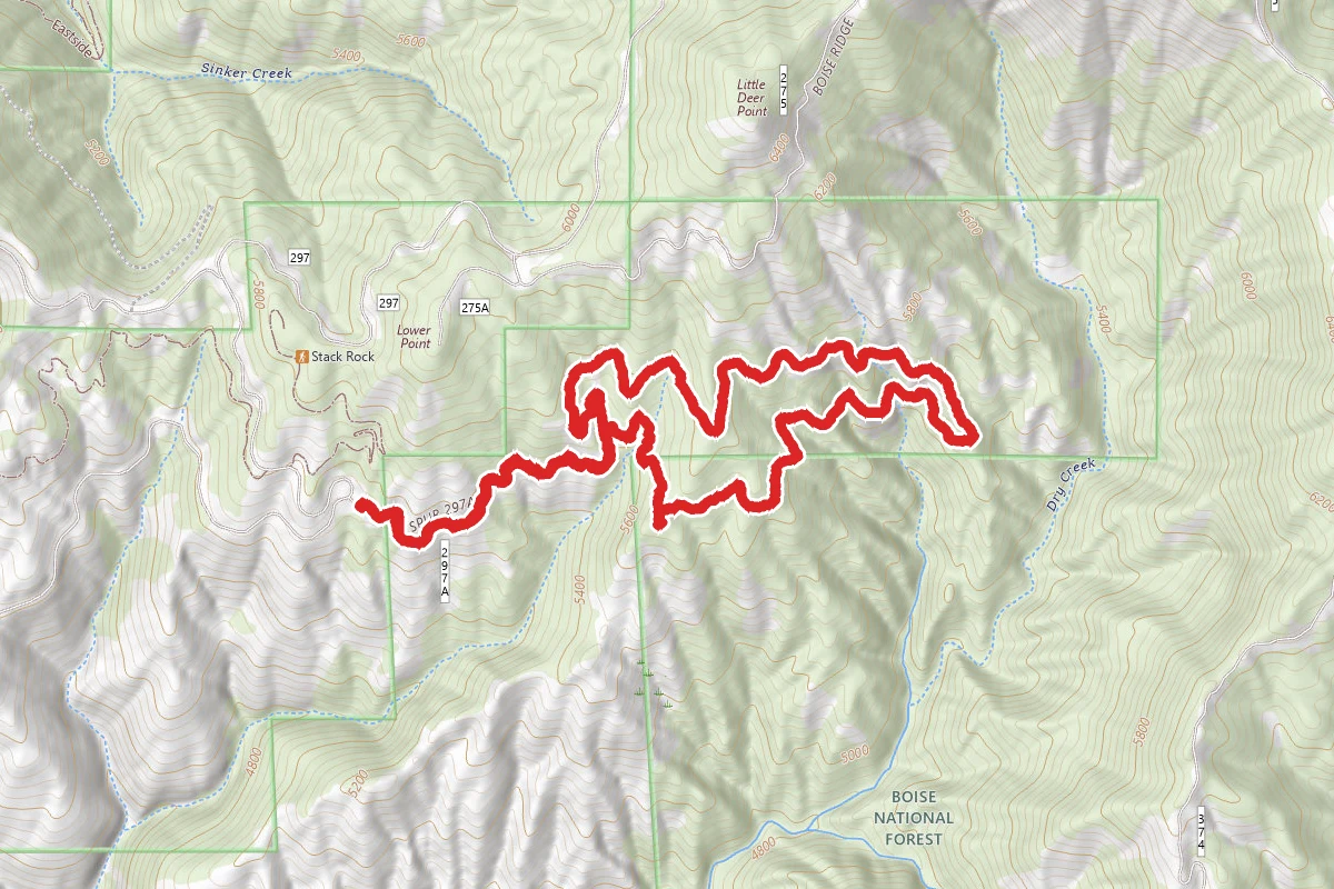
As of October 2019, the newly constructed Stack Rock parking lot is now open, giving access to 3 1/2 miles of new forest service trail, named "Freddy's Stack Rock", which then joins up with the traditional Stack Rock trail. Freddy's Stack Rock trail, while a couple of miles longer than the traditional Stack Rock trail, is significantly less physical, as the forest service has taken great pains to keep the trail grade very gradual. The trail begins at the western end of the new Stack Rock parking lot, where it enters into the piney woods. Follow the narrow singletrack downhill through the numerous switchbacks (mountain bikers be warned -- this is not a flow trail, so speed control going into the corners is necessary) until the trail crosses Bogus Basin road. Here begins a short stretch of sagebrush terrain, but within a half mile you're back into shade. The trail continues its gradual descent, with sections of loamy trail alternating with rocky, but very passable terrain. This whole stretch is narrow singletrack, and quite busy, so good trail etiquette is required. The trail alternates between wooded and sagebrush terrain, which can be pretty hot in the middle of the summer. At 3.6 miles, the trail reenters the woods and merges with the old Stack Rock trail (as well as the Sweet Connie and Mr. Big trails). Stay level and to the left to keep on Stack Rock. For the next 3/4 of a mile, the trail follows an old logging road, and widens significantly. At 4.3 miles, the trail pops over a small berm into a T. Either direction is labelled "Freddy's Stack Rock". To the left is about a mile shorter than the right, but significantly steeper and less pretty. This track heads to the right, trading the extra distance for a more gradual grade and a prettier stretch of mostly-singletrack. At 6.2 miles, you'll start to see glimpses of Stack Rock. If following this track, you'll approach from the more impressive side of Stack Rock, as it towers over you. Take lots of pictures, and if you have some sticky shoes, take a climb up. Heading back, you can do a pure out-and-back (for a total of 12.7 miles), or take a mile off the trip by descending via the somewhat steep old logging road (still labelled Stack Rock trail). From there, it's just all backtracking back to the parking lot.

Trail Conditions

Trail Conditions

Unknown

We have no current condition data for this trail. Check with the operator before you go, and submit a report below if you've been recently.

No recent condition reports. Be the first to share what you see on the trail.

Elevation Profile

Min:1,641 ft
Max:1,791 ft
1,297 ft
1,297 ft
1,641 ft1,691 ft1,741 ft1,791 ft0.0 mi2.9 mi5.8 mi8.8 mi11.7 mi

Trail Details

Route Type
Out & Back
Surface
Dirt

Official sources & verification

We don't have curated agency sources for this trail in our cache yet. Outdoors is not the permitting authority — confirm conditions, permits, and access with the managing agency before you go. If you know who manages this trail, please tell us.

Reviews

No reviews yet

Be the first to share your experience and help others plan their visit.

Legacy import — verify before navigating

Path geometry came from our pre-launch legacy database. Routes have not yet been re-verified against the operator and may differ from the actual trail.

Hunt context

This trail crosses hunting units

During hunting seasons, wear blaze orange and check regulations — see the Idaho hunting page

Spot an error in our data on Freddy's Stack Rock Trail?