Status unknown — verify before visiting

We don't have current condition data for this trail. Check with the land manager before you go.
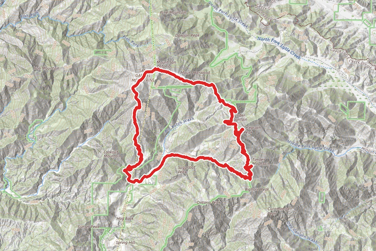
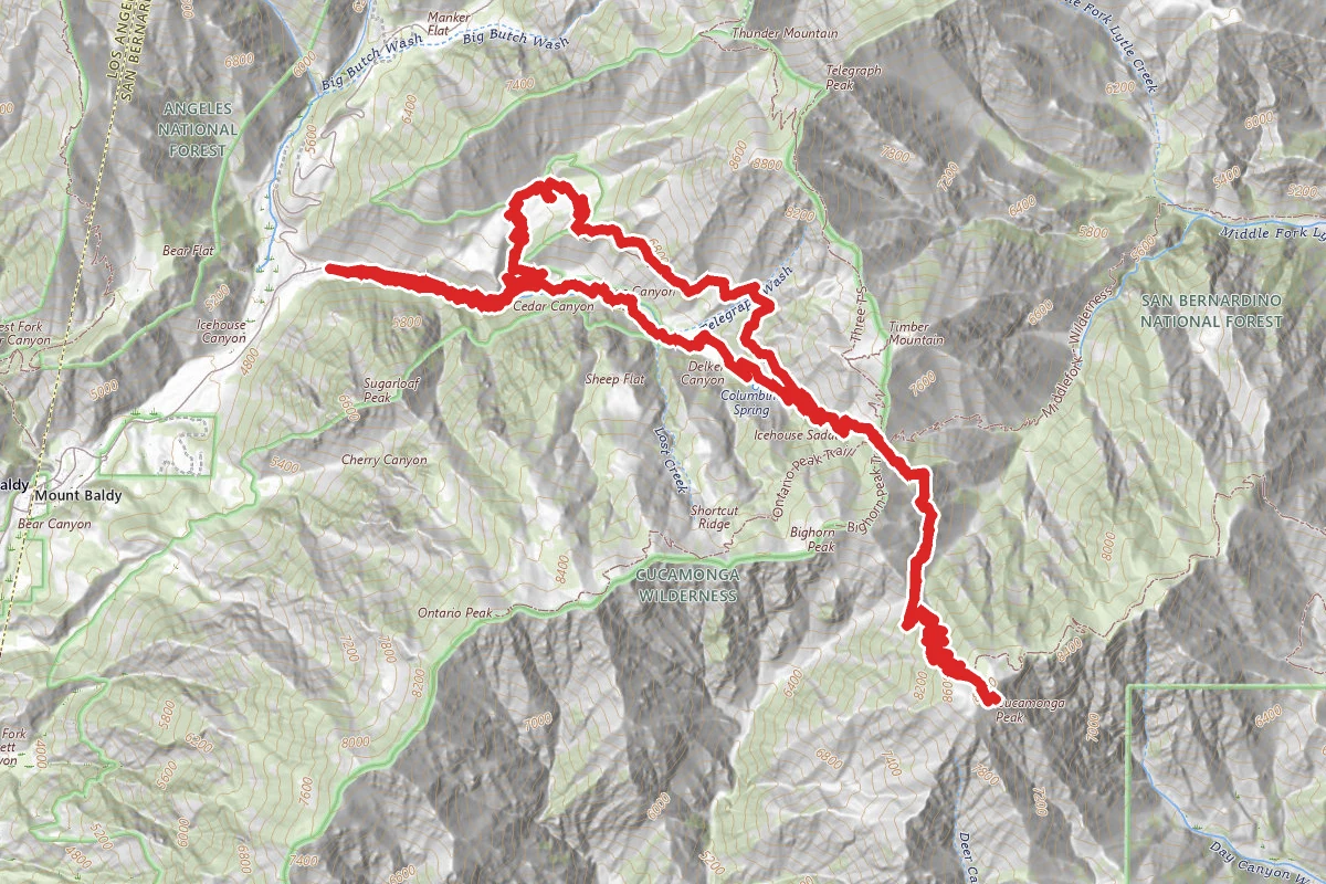
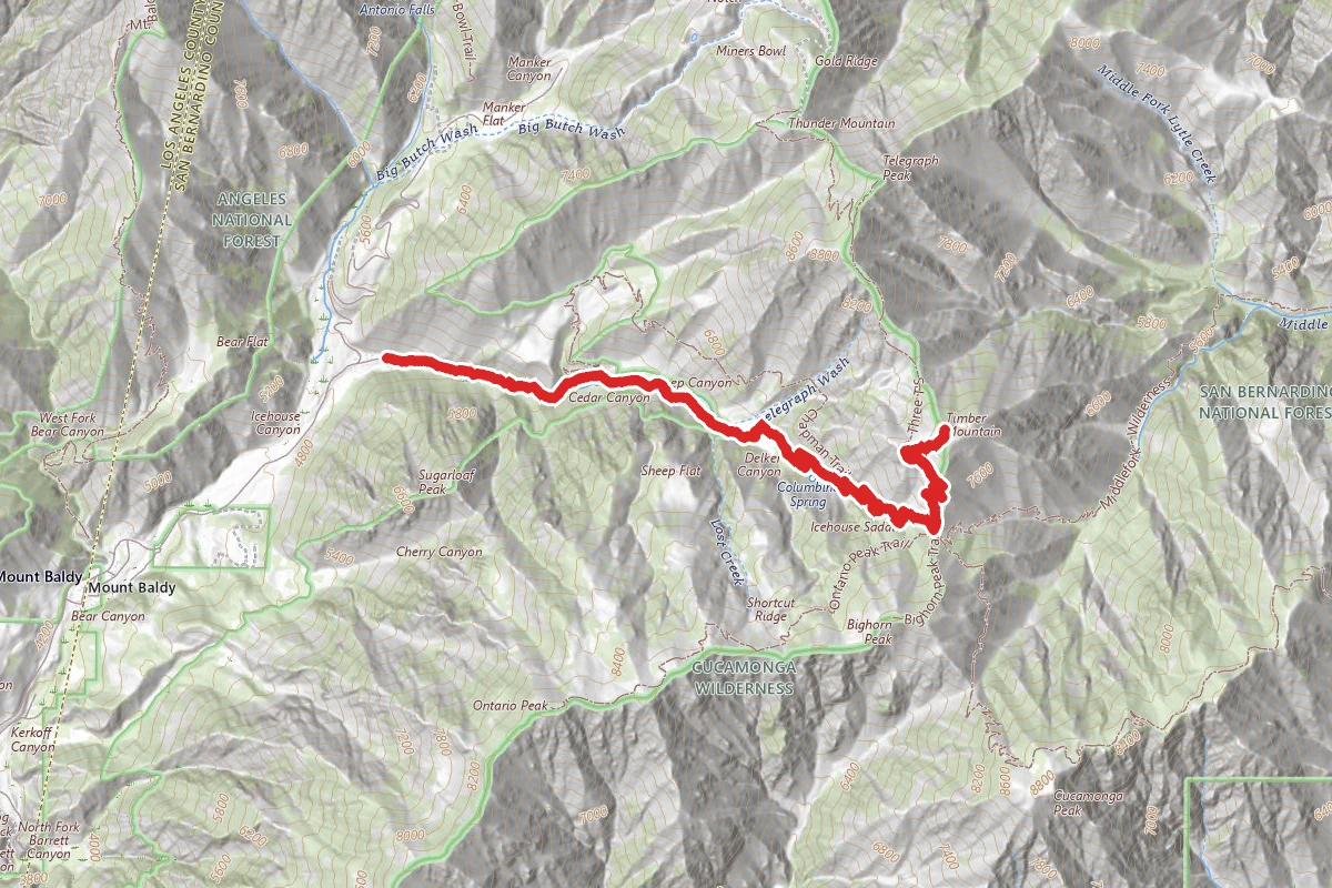
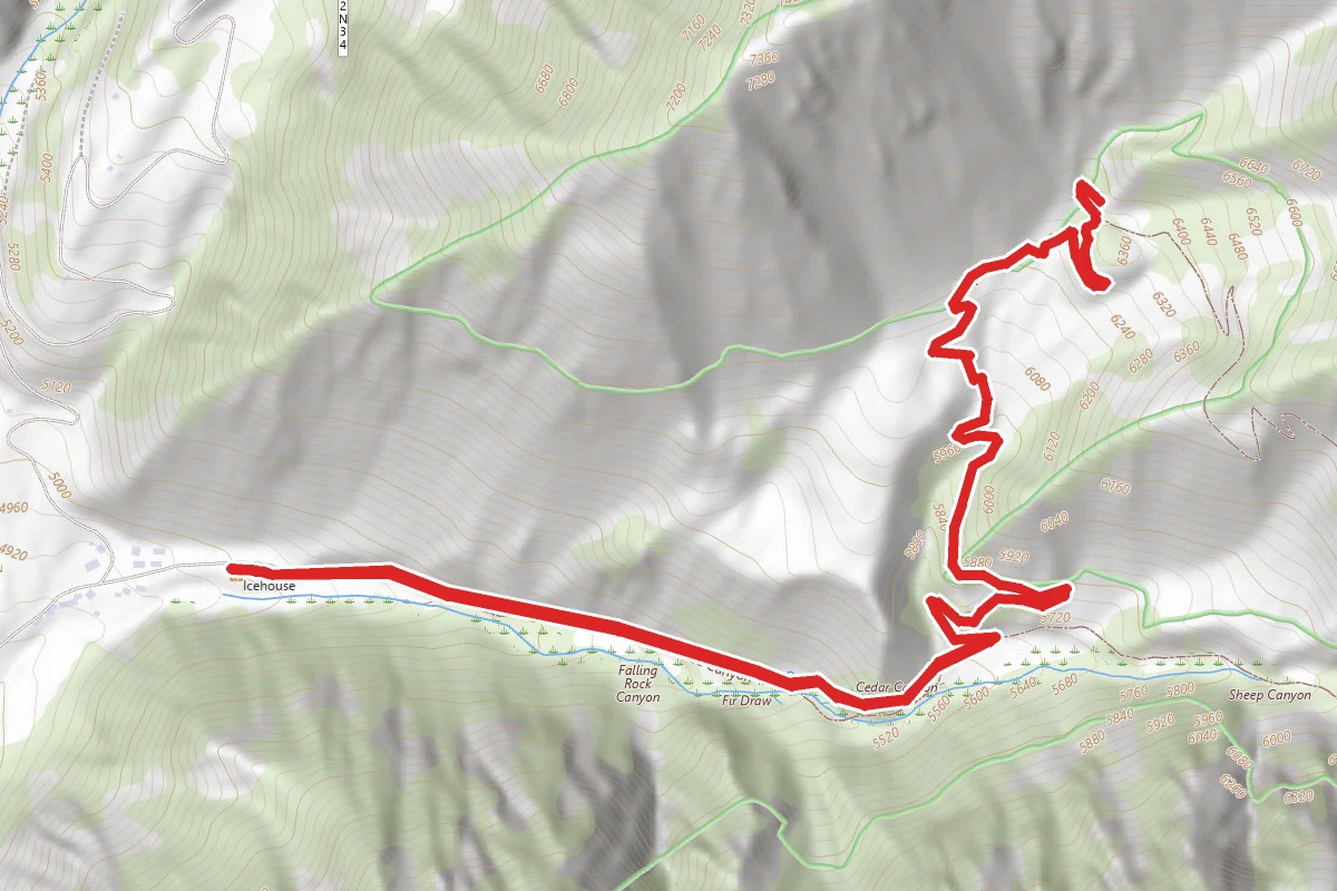
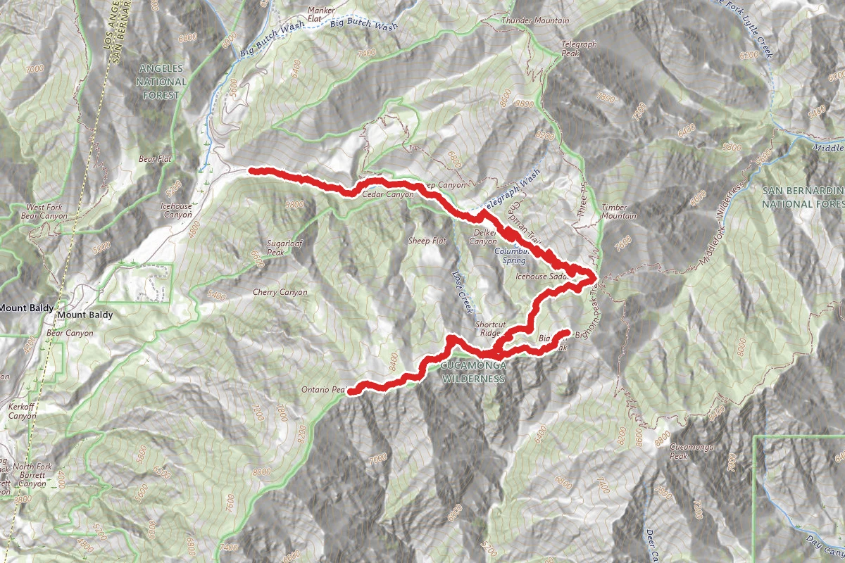
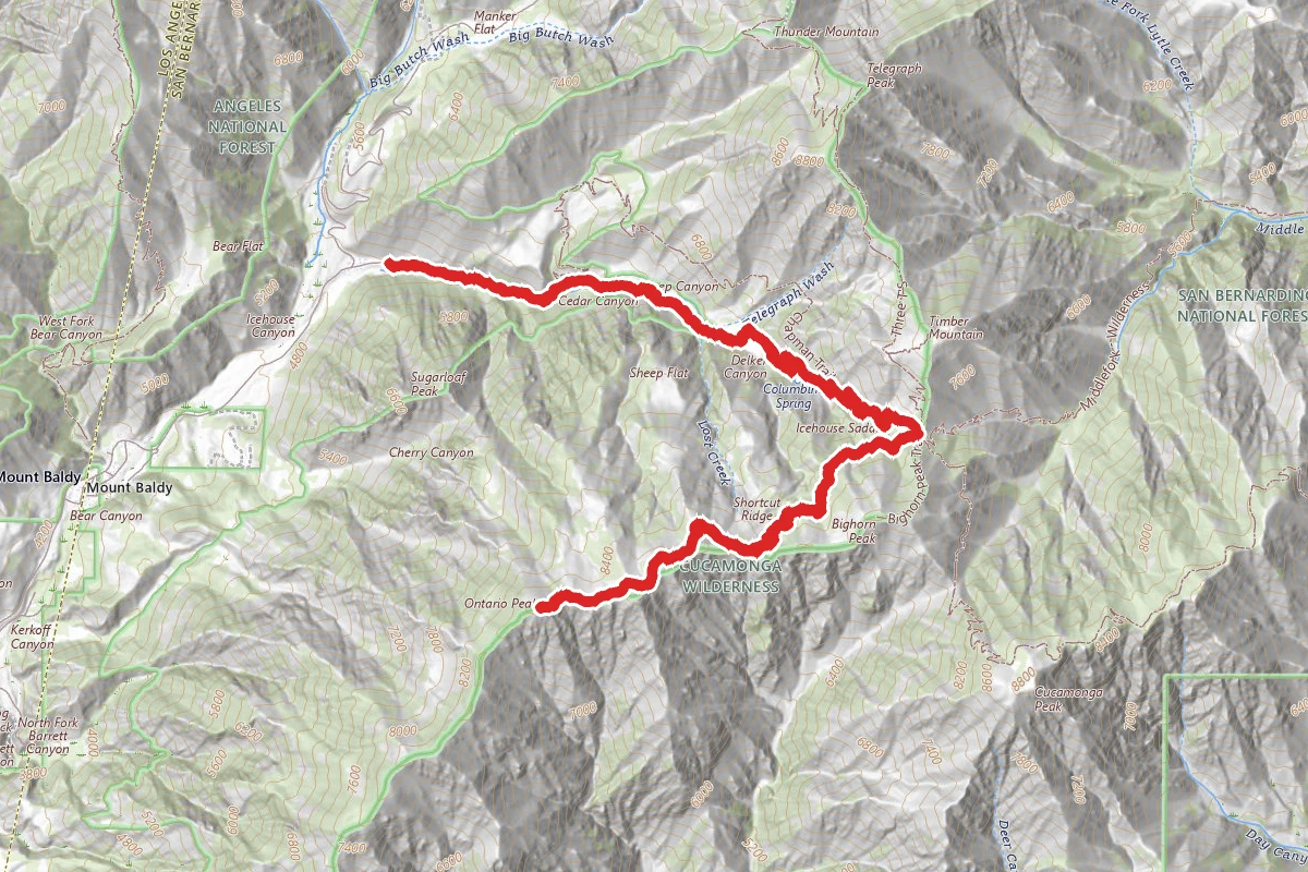
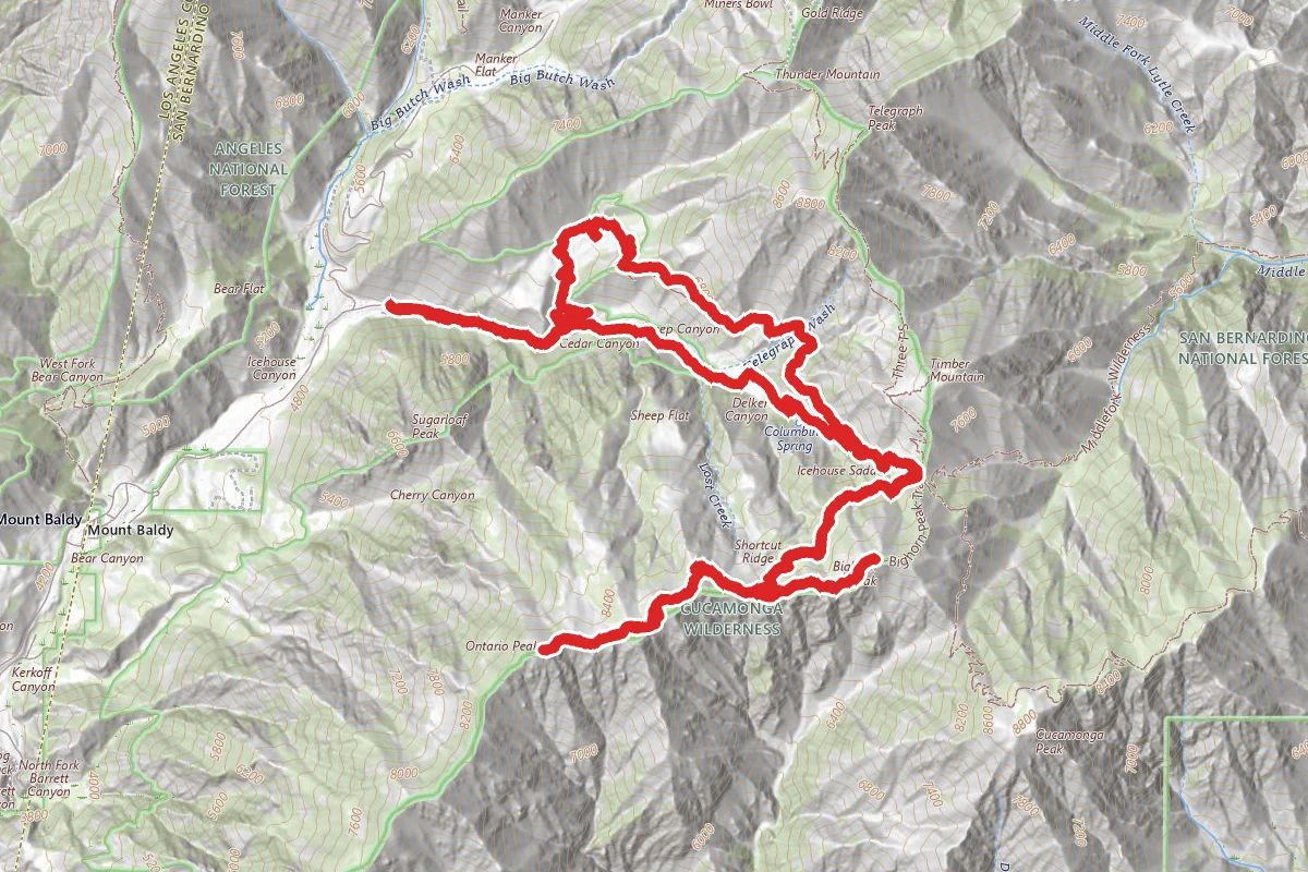
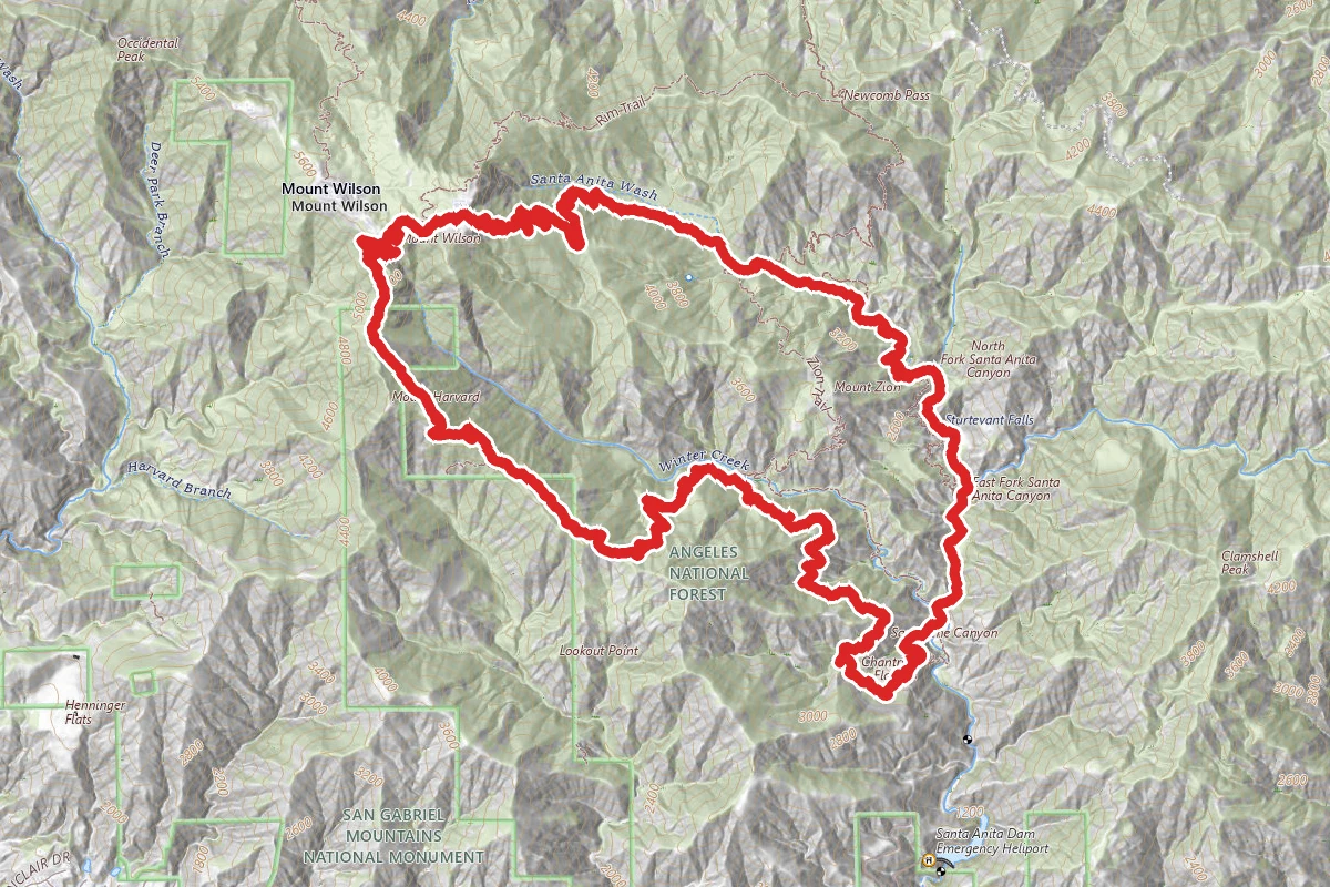
Old Mount Baldy to Three T’s Loop route map
ExpertLoop

Old Mount Baldy to Three T’s Loop

Mount Baldy, California

20.3 mi

Distance

9,895 ft

Elev. Gain

10h 47m

Est. Time

Loop

Route Type

Expert

Difficulty

About This Trail

Imported description
This is a very strenuous hike that combines the Old Mount Baldy Trail, the Devil's Backbone, the Three T's Trail, and the Icehouse Canyon Trail into one giant loop totaling 20 miles and 8,000 feet of elevation gain. It is a very challenging, scenic, and rewarding trek that could be used as a training hike for Mount Whitney or the Cactus to Clouds. Starting from the Icehouse Canyon parking lot, travel down Mount Baldy Road for 1.5 miles toward the village of Mount Baldy. Shortly after the visitors center, turn right into the church parking lot and continue onto Bear Canyon Drive. Hike uphill until the road ends at the Bear Canyon/Old Mount Baldy Trailhead. Take the trail uphill for a mile or so until you hit Bear Flats. After the Bear Flats camping area, the trail gets significantly steeper for the next three miles. This is the most difficult part of the entire hike. At about 9,000 feet, the trail becomes less steep, and you will be able to see the top of Mount Baldy. From Baldy, take the Devil's Backbone Trail east toward Baldy Notch. This will be the most crowded leg of the hike as this is the most popular route up to Baldy. At Baldy Notch, you can refill your water at the Top of the Notch restaurant (if it is open), and then continue southeast toward Thunder Mountain, the first of the Three T's. After Thunder Mountain, you soon enter the Cucamonga Wilderness. The climb up to Telegraph Peak is nicely graded with several switchbacks. At the final switchback, there is a sign for the Three T's Trail--be sure to turn left and continue up the spur that takes you to the summit. At almost 9,000 feet in elevation, Telegraph Peak is easily the most scenic of the Three T's. This is a great place to rest and take pictures. Continue south to bag Timber Mountain, and then the rest of the hike is all downhill as you descend the Icehouse Canyon Trail for the final leg of the loop. This hike requires a permit for the Three T's Trail in the Cucamonga Wilderness. You can grab one from the Icehouse Canyon trailhead before you begin the hike. An Adventure Pass is also required for your vehicle.

Trail Conditions

Trail Conditions

Unknown

We have no current condition data for this trail. Check with the operator before you go, and submit a report below if you've been recently.

No recent condition reports. Be the first to share what you see on the trail.

Elevation Profile

Min:1,311 ft
Max:3,064 ft
3,016 ft
3,016 ft
1,311 ft1,895 ft2,480 ft3,064 ft0.0 mi5.1 mi10.2 mi15.2 mi20.3 mi

Trail Details

Route Type
Loop
Surface
Dirt

Official sources & verification

We don't have curated agency sources for this trail in our cache yet. Outdoors is not the permitting authority — confirm conditions, permits, and access with the managing agency before you go. If you know who manages this trail, please tell us.

Reviews

No reviews yet

Be the first to share your experience and help others plan their visit.

Legacy import — verify before navigating

Path geometry came from our pre-launch legacy database. Routes have not yet been re-verified against the operator and may differ from the actual trail.

Hunt context

This trail crosses hunting units

During hunting seasons, wear blaze orange and check regulations — see the California hunting page

Spot an error in our data on Old Mount Baldy to Three T’s Loop?