Difficult
26.8 mi
Distance
7,966 ft
Elev. Gain
12h 21m
Est. Time
0.0
0 Reviews
About This Trail
It has been reported that the trail has been temporarily closed. You can get up to date information on the park's website.
Trail Details
Point to Point
Route Type
Dirt
Surface
No Dogs
Dog Policy
Yes
Kid Friendly
No
Permit Required
Elevation Profile
Min:1,249 ft
Max:2,488 ft
2,428 ft
2,648 ft
Reviews
No reviews yet
Be the first to share your experience and help others plan their visit.
Trail Conditions
Trail Conditions
Unknown
Updated Unknown
No recent condition reports. Be the first to share what you see on the trail.
Nearby Trails
More trails near North Rim Trail [CLOSED]![North Rim Trail [CLOSED]](https://www.nps.gov/common/uploads/structured_data/3C873CC3-1DD8-B71B-0B076FC2806DF140.jpg?width=800&quality=80)
North Rim Trail [CLOSED]
31.1 km5.0
Difficult
Old Big Oak Flat to Yosemite Falls [CLOSED]
27.7 km
Moderate
Old Big Oak Flat to Yosemite Falls [CLOSED]
27.7 km5.0
Moderate
Old Big Oak Flat Road [CLOSED]
11.4 km
Moderate
Big Oak Flat Road to Tuloumne Meadows [CLOSED]
84.0 km
Difficult
Big Oak Flat Road to Tuloumne Meadows [CLOSED]
31.1 km5.0
Difficult
In this park
Other trails in Yosemite National Park

Half Dome
California
3.2 km1,463 mgain
Expert

Mirror Lake Loop
California
6.2 km30 mgain
Easy
Yosemite Falls Trail
California
4.8 km823 mgain
Difficult

Four Mile Trail
California
7.7 km975 mgain
Difficult
Upper Yosemite Falls Trail
California
11.6 km1,575 mgain
Difficult
Four Mile Trail
California
14.8 km2,058 mgain
Difficult
Stay nearby
Campgrounds near this trail
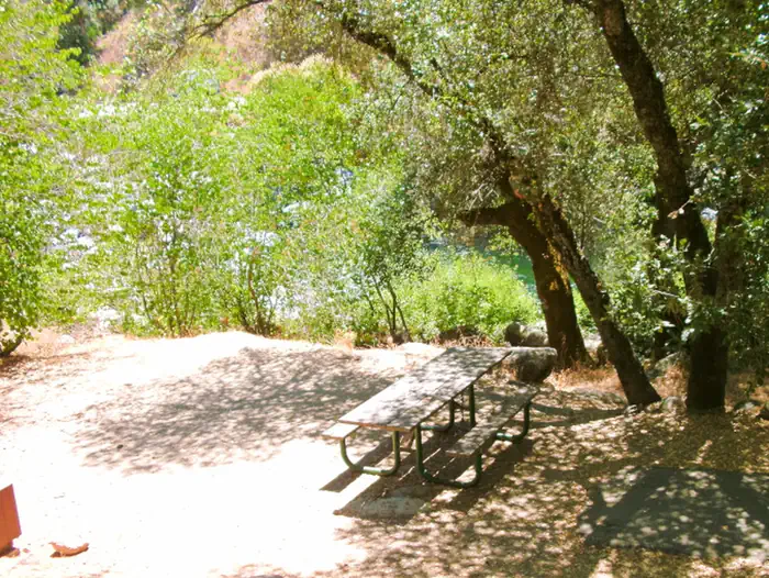
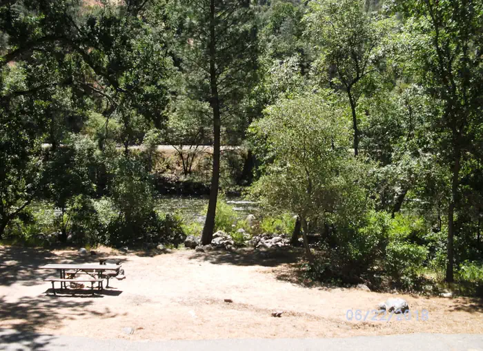
Tamarack Flat Campground
2.6 mi away · CA
Dewey Point - Yosemite Backcountry Site
4.5 mi away · CA
Sierra National Forest Dry Gulch Campground
6.2 mi away · CA
 Reservable
Dry Gulch
6.4 mi away · CA
 Reservable
Dirt Flat
6.6 mi away · CA
Reservable
Bridalveil Creek Campground - TEMP CLOSED until 2023
6.9 mi away · CA
Similar length
Similar trails in California
Mount Whitney Trail
California
36.2 km4,357 mgain
Difficult
Mount Baldy via Devil's Backbone Trail
California
22.5 km1,798 mgain
Difficult
Big Pine Lakes Trail
California
23.0 km1,245 mgain
Difficult
Happy Isles, Vernall Falls, Half Dome, Tenaya Lake, and Mirror Lakes Loop [CLOSED]
California
48.6 km3,379 mgain
Difficult
Heaton Flat Trail to Iron Mountain
California
29.0 km2,267 mgain
Difficult
Sespe River Trail to Willett Hot Springs
California
31.9 km1,093 mgain
Moderate