Status unknown — verify before visiting

We don't have current condition data for this trail. Check with the land manager before you go.

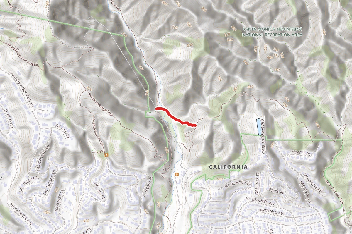
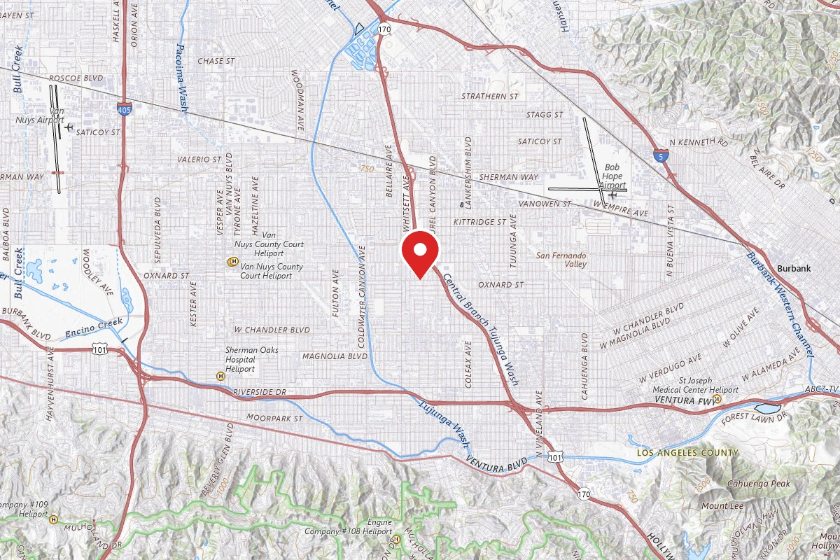
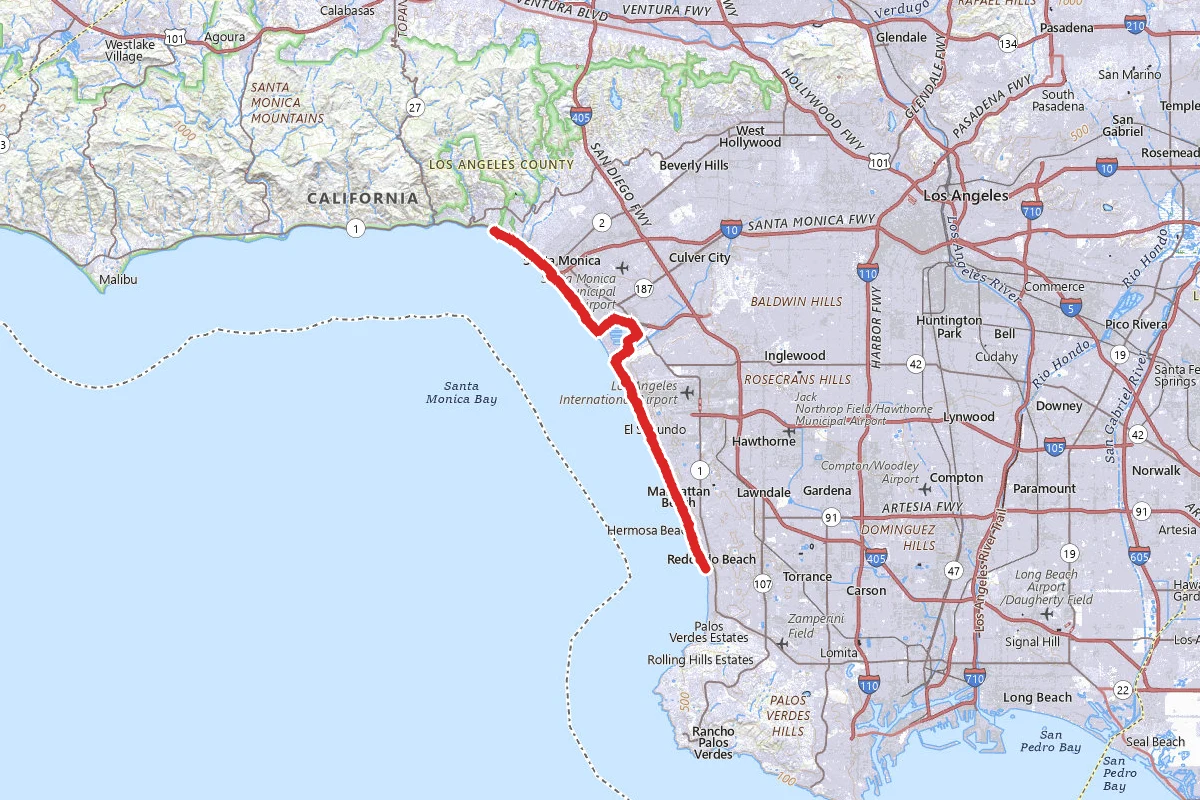
Marvin Braude Trail route map
EasyPoint to Point

Marvin Braude Trail

Pacific Palisades, California

19.5 mi

Distance

1,204 ft

Elev. Gain

6h 37m

Est. Time

Point to Point

Route Type

Easy

Difficulty

About This Trail

Imported description
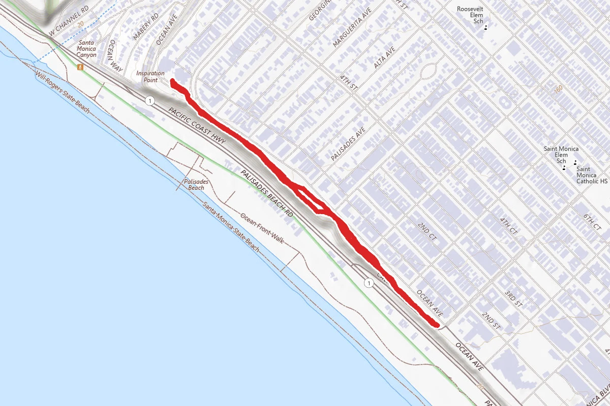
The Marvin Braude Bike Trail takes you on an incredible journey along some of Southern California's finest beaches. Its northern terminus is at Will Rogers State Beach, near Temescal Canyon Road in Santa Monica. To the south, the trail ends at Torrance County Beach, just short of the Palos Verdes Peninsula. The entire trail, except for a 3.7-mile jot around Marina Del Rey and a 1-mile bypass of the King Harbor marina at Redondo Beach, is right on the beach. The beaches are all wide, and some of them, quite deserted before noon. Pay $9 to park in the beach lot, rather than trying to find an empty spot somewhere along PCH. The trail consists entirely of paved surfaces. Some portions are shared with pedestrians, and some are marked as 'Bike Only'. This fact will be especially obvious coming through Venice Beach and Santa Monica in the afternoon. Of course, pedestrians must cross the trail to gain access to the beach, so you need to be alert to that in any case. Unless your aim is to 'people watch', you will be better off making this trip in the morning hours on a weekday. You'll be riding past many sand volleyball courts at the start. In the summer, on weekends, there are sometimes doubles tournaments held here, which can be fun to watch, but don't tarry too long because you've got a 40-mile round-trip ride ahead of you. Along Will Rogers and the following Santa Monica Beach, are several beach cafes, if you need some food or a cup of coffee to get you going. The first major point of interest that you will come to is the Santa Monica Pier.  There are lots of shops, restaurants, and carnival rides, but you don't have time for that, so file it away for future reference, and continue riding the trail as it passes under the pier.   After about 6 miles, things really start to get interesting, as you arrive at Venice Beach.  Lots of shops, food places, and characters here. The beach trail ends at Washington Blvd. where you have to make a left turn onto the boulevard and follow it for about 0.9 mile before getting onto the bike path around Marina Del Rey. There's a lot of traffic here, but the bike lane is well-marked and pretty wide.  Keep an eye out so you don't miss the trail veering off to the right from Washington Blvd. The trail is pretty well marked as it juts in and out around the marina, so you shouldn't have any trouble navigating through this beachless portion of the trail. You will eventually join up with the Ballona Creek bike path, heading back toward the beach. This is a long straight-away with water channels on both sides. After about 0.7 mile, you'll arrive at a bridge crossing the channel to your left.  Cross the bridge and turn right to rejoin the trail on the beach. These beaches, Playa Del Rey, Dockweiller, and El Porto, right after the marina are some of the most deserted you will come across on this ride. Along here, you'll pass the end of the runways at LAX, where you're guaranteed to see airplanes taking off overhead, and the DWP Scattergood power generating station. Next up is Manhattan Beach. The people density starts to increase. Soon you'll see the Manhattan Beach pier, but before that, you'll began riding along what is called The Strand. This is a stretch of expensive beach residences in Manhattan Beach and the next city, Hermosa Beach. A low wall separates the bike path from the patios, so you can see everything going on, even inside the houses. Hermosa Beach is the next city. Pier Avenue runs into, naturally, the Hermosa Beach Pier. The Avenue is a car-free zone with lots of shops and restaurants, an interesting place to rest, or make your ultimate destination, if you're getting tired.

Trail Conditions

Trail Conditions

Unknown

We have no current condition data for this trail. Check with the operator before you go, and submit a report below if you've been recently.

No recent condition reports. Be the first to share what you see on the trail.

Elevation Profile

Min:-13 ft
Max:30 ft
367 ft
370 ft
-13 ft1 ft16 ft30 ft0.0 mi4.9 mi9.8 mi14.6 mi19.5 mi

Trail Details

Route Type
Point to Point
Surface
Dirt

Official sources & verification

We don't have curated agency sources for this trail in our cache yet. Outdoors is not the permitting authority — confirm conditions, permits, and access with the managing agency before you go. If you know who manages this trail, please tell us.

Reviews

No reviews yet

Be the first to share your experience and help others plan their visit.

Legacy import — verify before navigating

Path geometry came from our pre-launch legacy database. Routes have not yet been re-verified against the operator and may differ from the actual trail.

Hunt context

This trail crosses hunting units

During hunting seasons, wear blaze orange and check regulations — see the California hunting page

Spot an error in our data on Marvin Braude Trail?