Moderate
Lumber Ridge to Middle Prong Loop [CLOSED]
Townsend, Tennessee
20 mi
Distance
5,823 ft
Elev. Gain
8h 35m
Est. Time
0.0
0 Reviews
About This Trail
The trail is temporarily closed, due to COVID-19. The park website provides up to date information.
Trail Details
Loop
Route Type
Dirt
Surface
Dogs Allowed (Leash Required)
Dog Policy
Yes
Kid Friendly
No
Permit Required
Elevation Profile
Min:413 ft
Max:1,253 ft
1,775 ft
1,775 ft
Reviews
No reviews yet
Be the first to share your experience and help others plan their visit.
Trail Conditions
Trail Conditions
Unknown
Updated Unknown
No recent condition reports. Be the first to share what you see on the trail.
Spruce Flats Falls via Lumber Ridge Loop [CLOSED]
11.3 km
Moderate
Lumber Ridge Trail [CLOSED]
11.3 km
Moderate
Spruce Flats Falls Trail [CLOSED]
2.9 km
Moderate
Tremont Logging History Auto Tour [CLOSED]
9.8 km
Easy
Chestnut Top Trail to Whiteoak Sink [CLOSED]
16.3 km
Moderate
Lynn Camp Via Middle Prong Trail [CLOSED]
5.0 km
Moderate
In this park
Other trails in Great Smoky Mountains National Park
Alum Cave Trail to Mount LeConte
Tennessee
16.9 km1,374 mgain
Difficult
Laurel Falls Trail [CLOSED]
Tennessee
3.9 km285 mgain
Easy
Chimney Tops Trail [CLOSED]
Tennessee
5.8 km502 mgain
Difficult
Rainbow Falls Trail [CLOSED]
Tennessee
8.9 km730 mgain
Difficult
Grotto Falls Trail [CLOSED]
Tennessee
4.2 km336 mgain
Moderate
Abrams Falls Trail [CLOSED]
Tennessee
7.9 km378 mgain
Moderate
Stay nearby
Campgrounds near this trail
Reservable
Little Arrow Outdoor Resort
2.5 mi away · TN
 Reservable
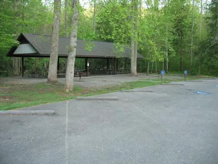
Metcalf Bottoms Picnic Pavilion
3.5 mi away · TN
Reservable
Primitive Camping on Little River
3.5 mi away · TN
Reservable
Mountaineer Campground
3.6 mi away · TN
Reservable
Big Meadow Family Campground
3.8 mi away · TN
Reservable
Tentrr Signature Site - Happy Hollow Hideaway Glade site
5 mi away · TN
Similar length
Similar trails in Tennessee
Alum Cave Trail to Mount LeConte
Tennessee
16.9 km1,374 mgain
Difficult
Mount Cammerer via Low Gap Trail [CLOSED]
Tennessee
19.2 km1,610 mgain
Difficult
Appalachian Trail to Icewater Spring Shelter [CLOSED]
Tennessee
19.8 km1,185 mgain
Moderate
Myrtle Point and Mount LeConte via Alum Cave Trail [CLOSED]
Tennessee
18.5 km1,501 mgain
Difficult
Bearwaller Gap Hiking Trail
Tennessee
17.4 km911 mgain
Difficult
Enterprise South Nature Park Loop
Tennessee
27.7 km796 mgain
Moderate