Difficult
14.5 mi
Distance
5,220 ft
Elev. Gain
5h 47m
Est. Time
0.0
0 Reviews
About This Trail
You can either take the longest route to Mt. Cammerer intersecting with the AT and then down Low Gap for a 15+ hike or you can return to the AT. The trail begins in the Low Gap area and then goes into a beautiful forest. There is a spur trail on the side of the mountain that has views of the valley. The campsite A, B, C, D and E are all protected by a hill and include a hitching post for horses. The trail goes past the campsite and becomes rocky before you reach the Appalachian Trail. Return to the same route from here.
Trail Details
Out & Back
Route Type
Dirt
Surface
Dogs Allowed (Leash Required)
Dog Policy
Yes
Kid Friendly
No
Permit Required
Elevation Profile
Min:711 ft
Max:1,104 ft
1,591 ft
1,591 ft
Reviews
No reviews yet
Be the first to share your experience and help others plan their visit.
Trail Conditions
Trail Conditions
Unknown
Updated Unknown
No recent condition reports. Be the first to share what you see on the trail.
Nearby Trails
More trails near Lower Mount Cammerer Trail [CLOSED]Snake Den Ridge Low Gap Trail [CLOSED]
20.4 km
Difficult
Sutton Ridge Overlook Trail [CLOSED]
4.8 km
Moderate
![Sutton Ridge Overlook Trail [CLOSED]](https://www.nps.gov/common/uploads/structured_data/3C873CC3-1DD8-B71B-0B076FC2806DF140.jpg?width=800&quality=80)
Sutton Ridge Overlook Trail [CLOSED]
4.8 km5.0
Moderate
Mount Sterling Loop (via Low Gap, Big Creek, Swallow Fork) [CLOSED]
45.9 km
Difficult
Snake Den Ridge Trail to Low Den Gap Trail Loop [CLOSED]
31.1 km5.0
Difficult
Snake Den Ridge Trail to Low Den Gap Trail Loop [CLOSED]
42.0 km
Difficult
In this park
Other trails in Great Smoky Mountains National Park
Alum Cave Trail to Mount LeConte
Tennessee
16.9 km1,374 mgain
Difficult
Laurel Falls Trail [CLOSED]
Tennessee
3.9 km285 mgain
Easy
Chimney Tops Trail [CLOSED]
Tennessee
5.8 km502 mgain
Difficult
Rainbow Falls Trail [CLOSED]
Tennessee
8.9 km730 mgain
Difficult
Grotto Falls Trail [CLOSED]
Tennessee
4.2 km336 mgain
Moderate
Abrams Falls Trail [CLOSED]
Tennessee
7.9 km378 mgain
Moderate
Stay nearby
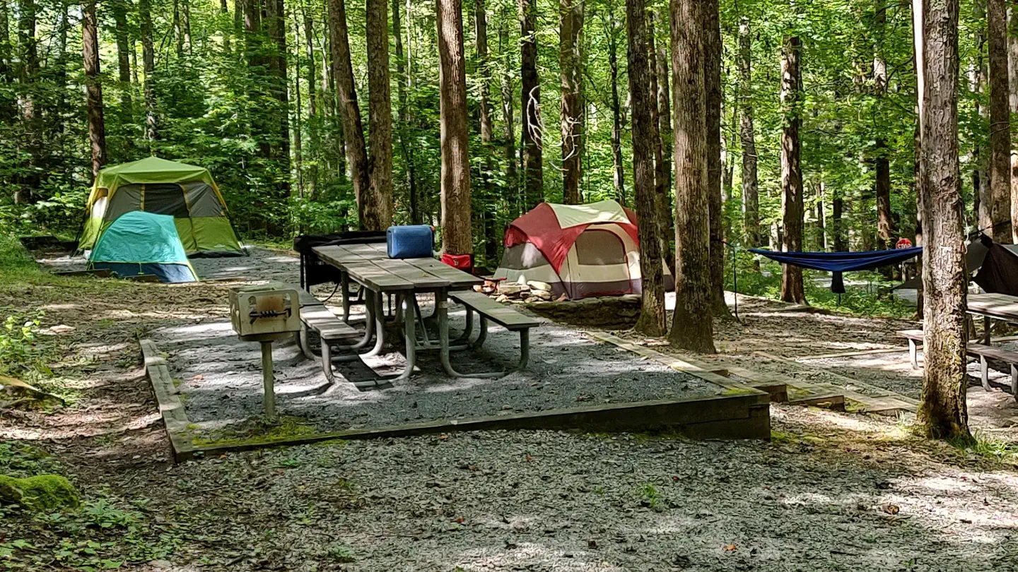
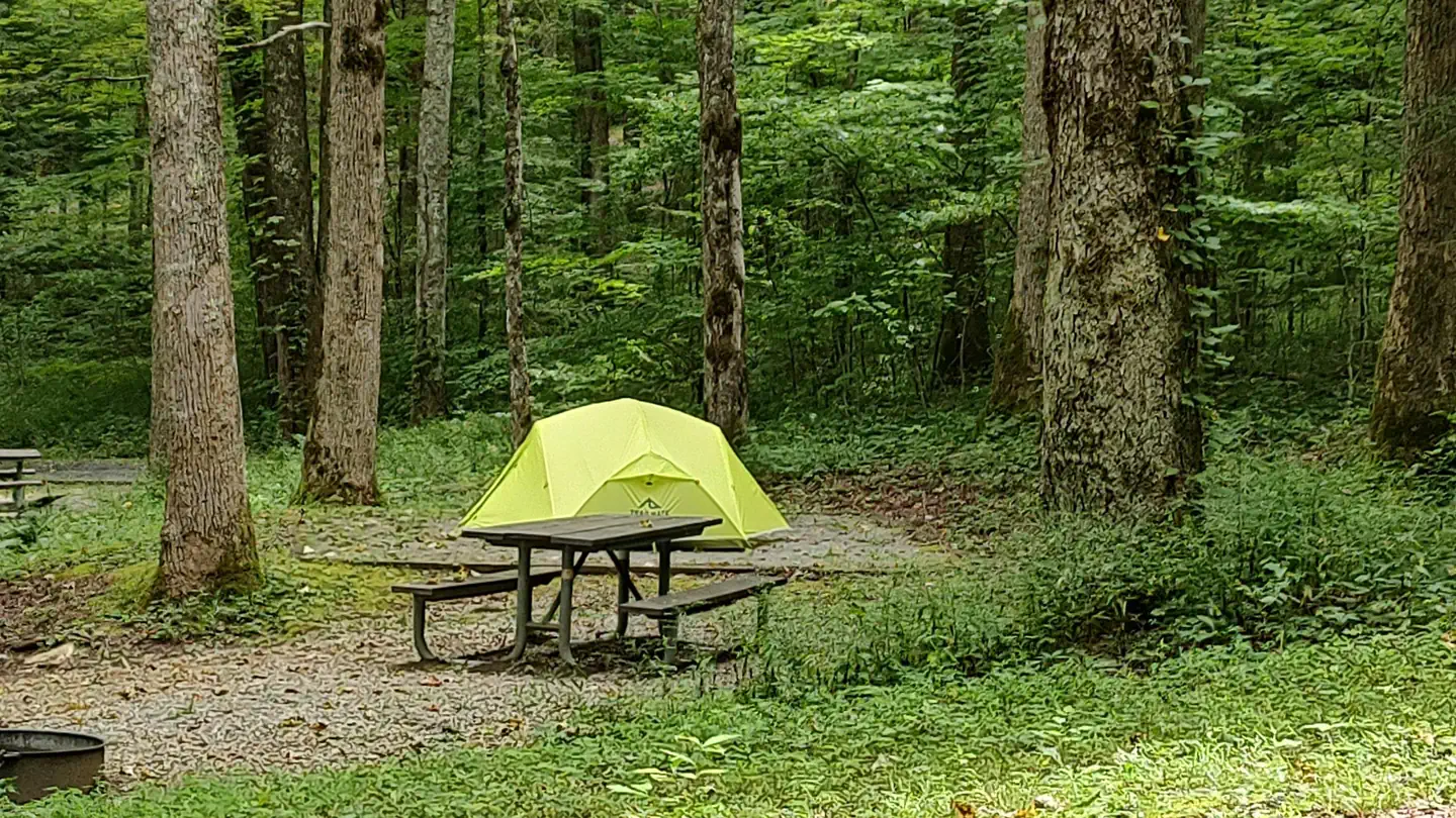
Campgrounds near this trail
Similar length
Similar trails in Tennessee
Alum Cave Trail to Mount LeConte
Tennessee
16.9 km1,374 mgain
Difficult
Virgin Falls Trail
Tennessee
13.4 km524 mgain
Difficult
Ramsey Cascades Trail [CLOSED]
Tennessee
13.0 km878 mgain
Difficult
Mount Cammerer via Low Gap Trail [CLOSED]
Tennessee
19.2 km1,610 mgain
Difficult
Indian Flat Falls via Middle Prong Trail [CLOSED]
Tennessee
12.7 km435 mgain
Moderate
Laurel Falls and Cove Mountain [CLOSED]
Tennessee
12.4 km807 mgain
Moderate