Status unknown — verify before visiting
We don't have current condition data for this trail. Check with the land manager before you go.
17.7 mi
Distance
7,602 ft
Elev. Gain
8h 21m
Est. Time
Loop
Route Type
Expert
Difficulty
About This Trail
We don't have an editorial description for Lower Church Creek to Tassajara Zen Center in our cache yet. The planning stats above (distance, elevation gain, estimated time, route type) come from the source listed on this trail.
For current conditions, closures, and route notes, check the official sources below — they're the authority for this trail, not us. Spot something we should add?
Trail Conditions
Trail Conditions
We have no current condition data for this trail. Check with the operator before you go, and submit a report below if you've been recently.
No recent condition reports. Be the first to share what you see on the trail.
Elevation Profile
Trail Details
- Route Type
- Loop
- Surface
- Dirt
Official sources & verification
We don't have curated agency sources for this trail in our cache yet. Outdoors is not the permitting authority — confirm conditions, permits, and access with the managing agency before you go. If you know who manages this trail, please tell us.
Reviews
No reviews yet
Be the first to share your experience and help others plan their visit.
Legacy import — verify before navigating
Path geometry came from our pre-launch legacy database. Routes have not yet been re-verified against the operator and may differ from the actual trail.

Stay nearby
Campgrounds near this trail
Reservable
China Camp Campground
0.1 mi away · CA
Reservable
White Oaks Campground
2.3 mi away · CA
 Reservable
Arroyo Seco
5.6 mi away · CA
Reservable
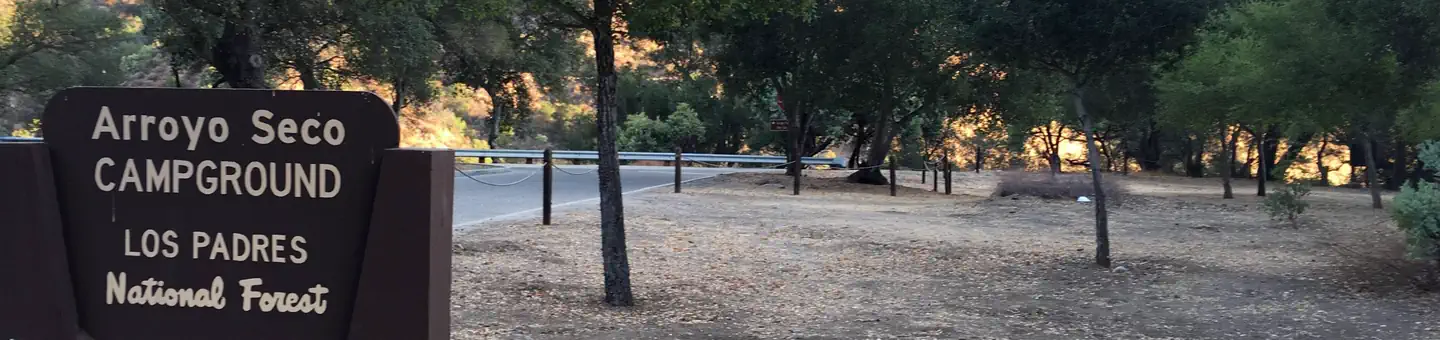
Los Padres National Forest Arroyo Seco Campground
6.2 mi away · CA
Carmel River Backcountry Camp
6.2 mi away · CA
- Reservable
Arroyo Seco Group Campground
6.3 mi away · CA
Similar length
Similar trails in California

Half Dome
California

Four Mile Trail
California
Mount Tallac Trail
California

Mount Whitney Trail
California
Stevens Trail
California
Mount Baldy via Devil's Backbone Trail
California