Status unknown — verify before visiting

We don't have current condition data for this trail. Check with the land manager before you go.

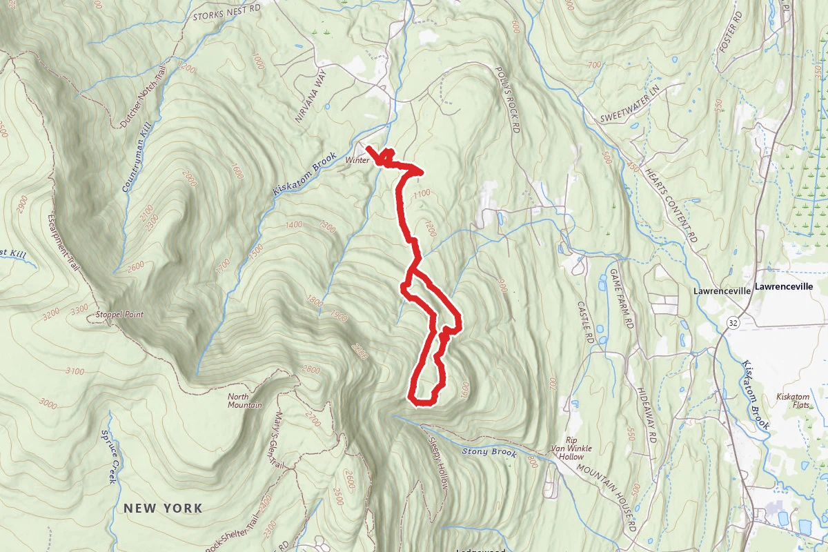
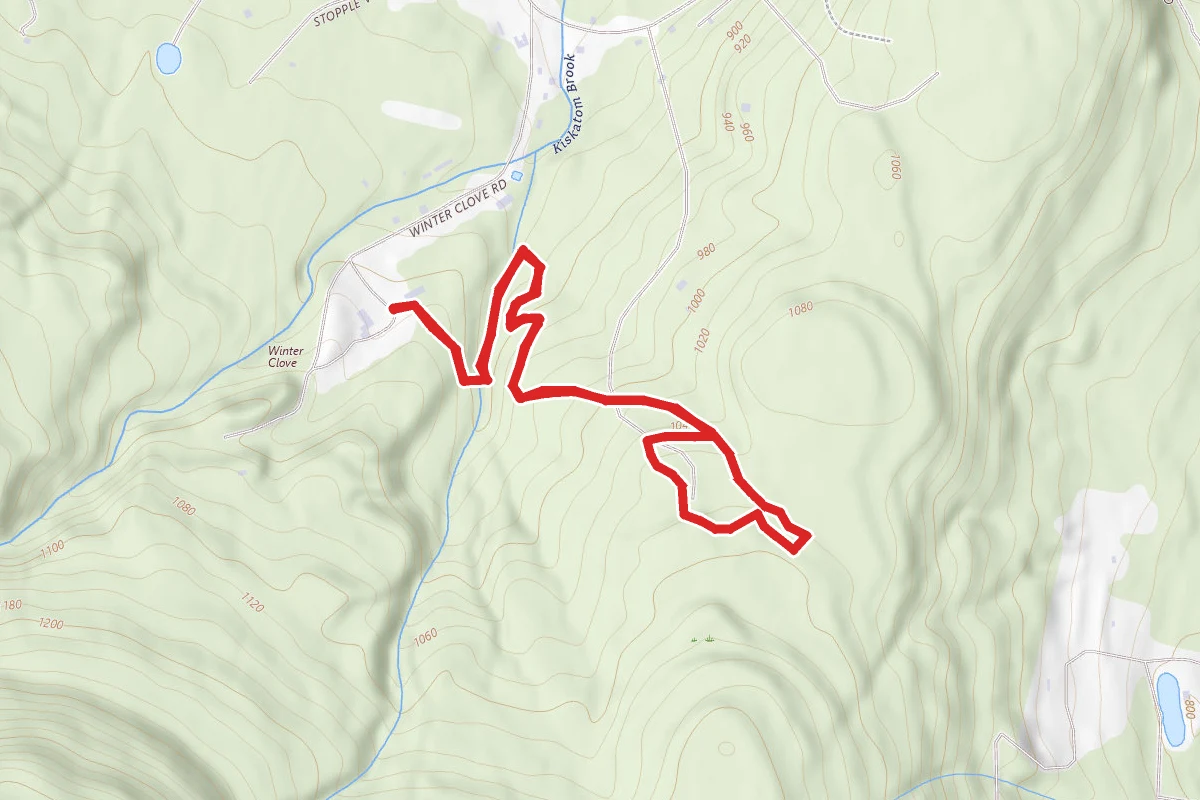
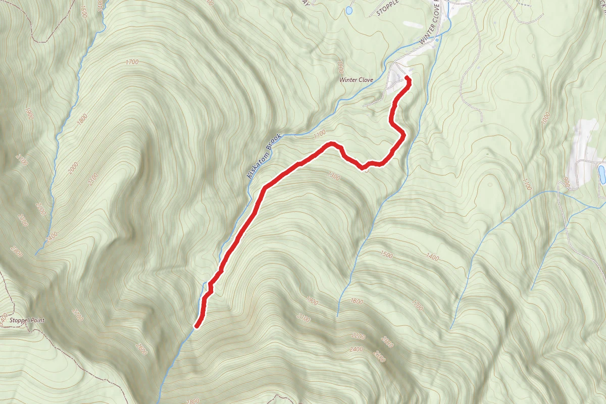
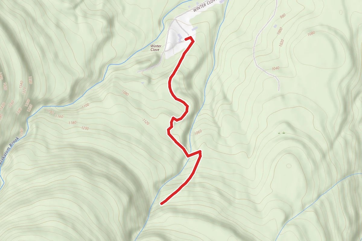
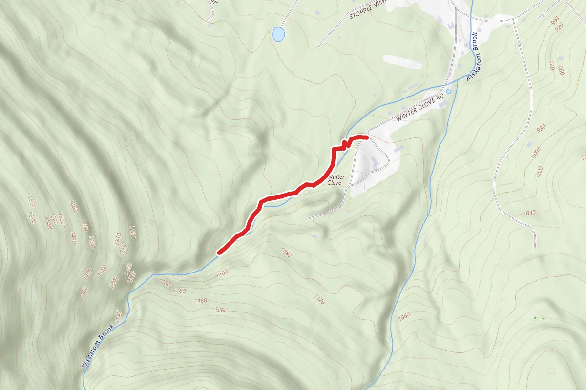
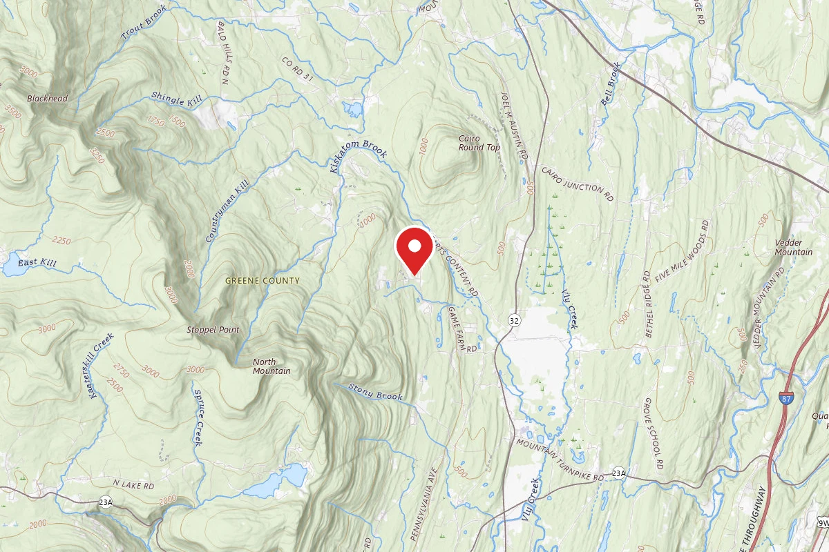
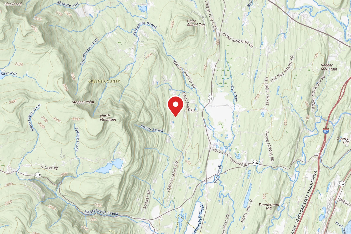
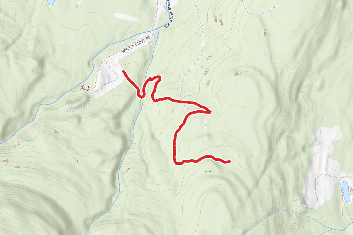
Lost Pond from Winter Clove Inn route map
EasyOut and Back

Lost Pond from Winter Clove Inn

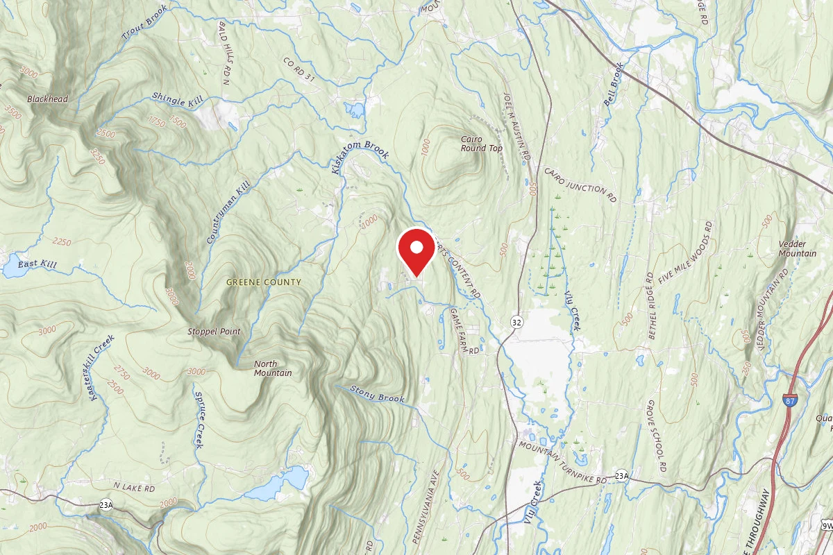
Cairo, New York

2.2 mi

Distance

351 ft

Elev. Gain

Out & Back

Route Type

Easy

Difficulty

About This Trail

Imported description
This 1.1 mile (2.2 round trip) trail takes you to a large seasonal pond which is perfect for spotting animals and footprints of all kinds. Along the way the trail passes the Bareback Brook, Daisy Field and pristine forest. Please inform the front desk at Winter Clove Inn that you will be hiking before heading out. The trail is marked with red paint however blue paint use to be used and is still visible in some parts, hiking trails are marked with varnished wood signs while mountain bike trails have white signs. Start in the parking lot alongside the Carriage House (bowling alley) and follow the dirt and grass road towards the woods. Once entering the woods you will cross a small wood bridge and follow a TRAILS sign directing you to the left and down a small hill towards the Bearback Brook. Cross a larger bridge and follow the trail to the left along the side of the stream. About 50 yards after the bridge look for a hiking trails sign pointing up a small embankment to the right. On top of this small embankment the trial will intersect with a larger trail and you will notice another trails sign pointing to the right. The trail will then continue to tac up the hill with a few smaller mountain bike paths intersecting it however stay on the larger trail. You will cross over a stonewall and a short distance after that you will enter the bottom of the Daisy Field. Upon entering the field you will see a trails sign pointing left, follow the trail to the left and up diagonally crossing the field. Near the upper right corner of the field the trail will re-enter the woods marked by a trails sign pointing straight ahead. Before entering the woods take a minute to turnaround and enjoy the view of the mountain range. The trail will be relatively straight and parts are covered in red shale gravel. A few minutes later you will come to a small incline with a sign pointing to the right for Webster’s Pass. Take this sharp right turn up a small hill and into another small clearing with a lean to on the right side. Continue straight past the lean to (after taking a rest of course) and there will be a sign for Webster’s Pass pointing straight ahead. Once entering the woods the ground will be covered with grass on both sides of the trial, this land used to be sheep pastures in the late 1800’s. After a short distance you will come to an intersection with Pitch Pine Path, continue straight and you will soon cross onto State Land and the trail will remain relatively flat for a little while. You will soon cross a small stream bed and in a short distance you will come to the turnoff for the Lost Pond trail which is marked by a sign on the tree, take a left at this point. (On the return trip you can take a left here and follow Webster’s Pass back to the Winter Clove Golf Course, this will add approximately 20 minutes to your trip. Full directions for Webster’s Pass are available at the front desk or by searching Webster’s Pass from Winter Clove Inn on the AllTrails app.) Soon after turning onto the Lost Pond trail it will become rocky and in a short distance a mountain bike trail will intersect. Continue straight along the main trial which is marked by red paint. Shortly after the mountain bike trail intersection the trail will go up a small rocky embankment. Once on top of the small embankment the trail will level off and become moss covered and you will notice an uphill off to the right of the trail. In a short distance you will come to an intersection and Lost Pond sign pointing to the left. At this point you should be able to see the pond or pond bed through the woods on your left. Take a left at this intersection and in approximately 150 feet you will arrive at the edge of the pond marked by a Lost Pond sign on a tree. This is the end of the trail, at this point you will back track to return to Winter Clove Inn. When the pond is dry it is a great place to explore and find all types of footprints.

Trail Conditions

Trail Conditions

Unknown

We have no current condition data for this trail. Check with the operator before you go, and submit a report below if you've been recently.

No recent condition reports. Be the first to share what you see on the trail.

Elevation Profile

Min:281 ft
Max:345 ft
107 ft
107 ft
281 ft302 ft324 ft345 ft0.0 mi0.5 mi1.1 mi1.6 mi2.2 mi

Trail Details

Route Type
Out & Back
Surface
Dirt

Official sources & verification

We don't have curated agency sources for this trail in our cache yet. Outdoors is not the permitting authority — confirm conditions, permits, and access with the managing agency before you go. If you know who manages this trail, please tell us.

Reviews

No reviews yet

Be the first to share your experience and help others plan their visit.

Legacy import — verify before navigating

Path geometry came from our pre-launch legacy database. Routes have not yet been re-verified against the operator and may differ from the actual trail.

Spot an error in our data on Lost Pond from Winter Clove Inn?