Status unknown — verify before visiting

We don't have current condition data for this trail. Check with the land manager before you go.
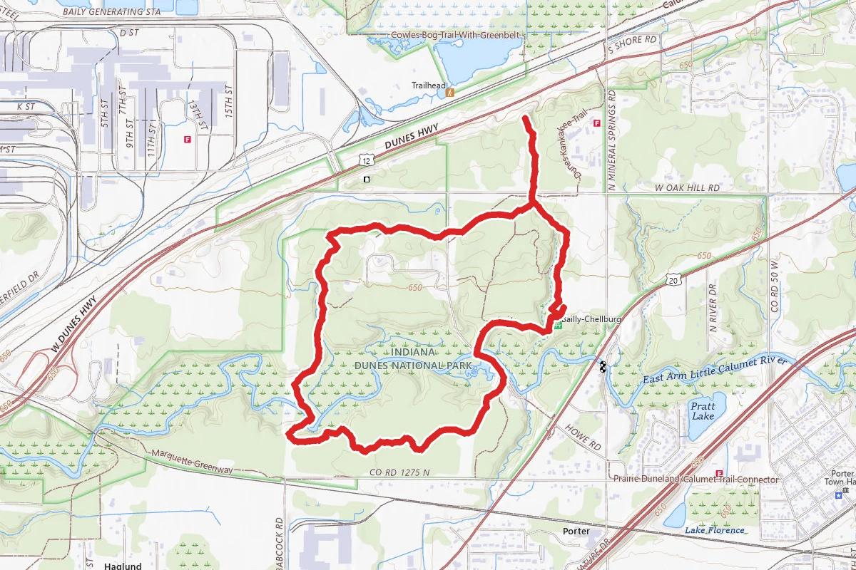
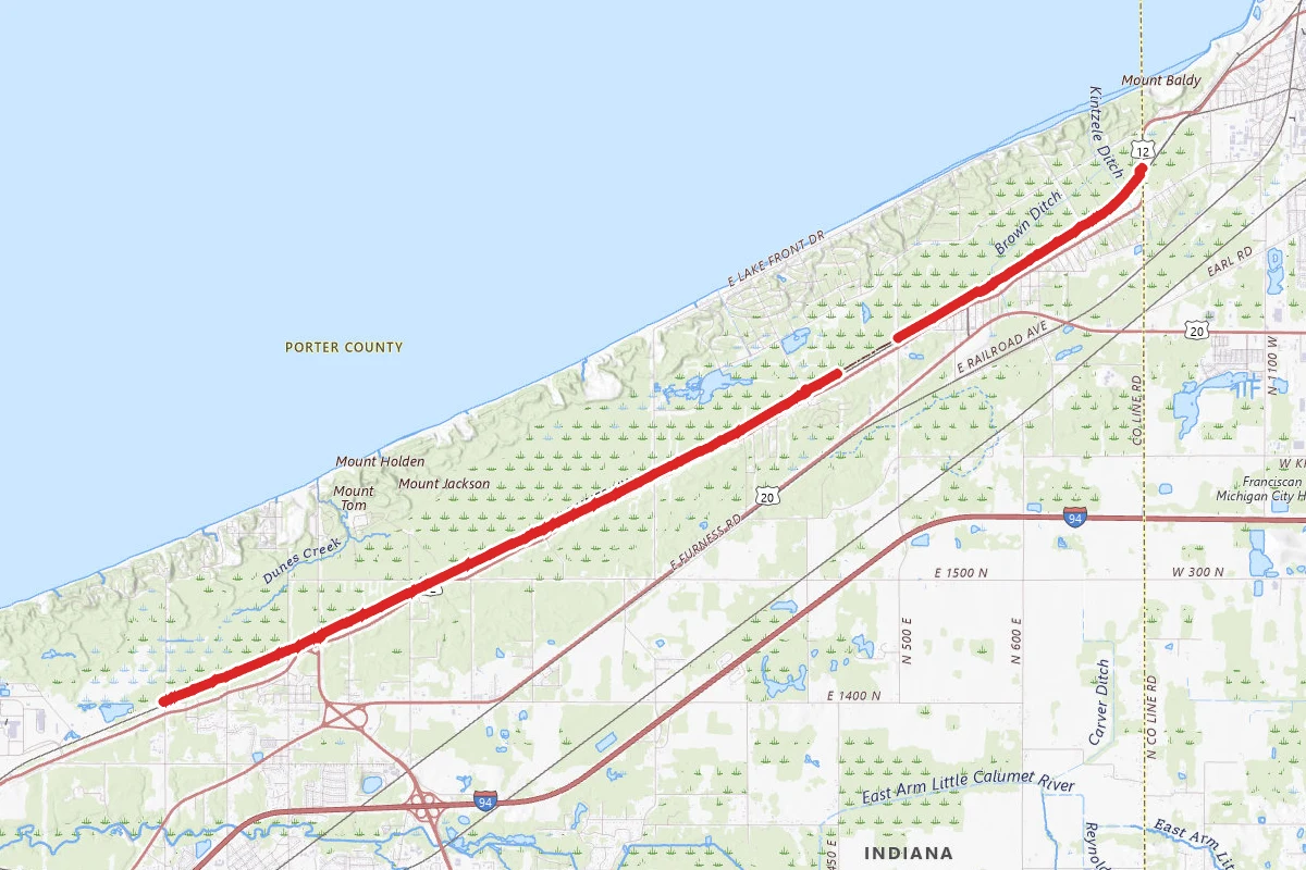
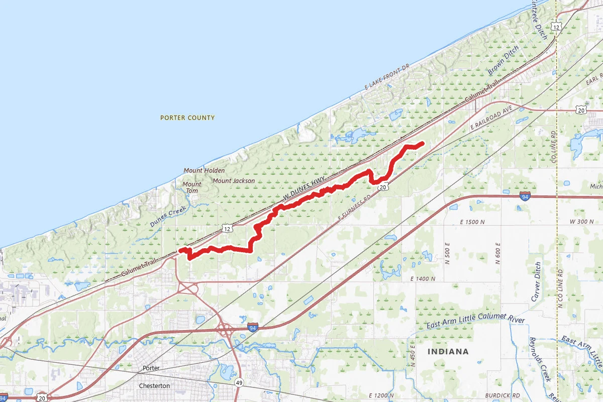
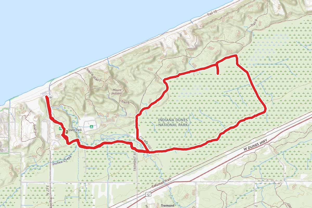
Little Calumet River and Mnoke Prairie Trail route map
ModerateLoop

Little Calumet River and Mnoke Prairie Trail

Chesterton, Indiana

3.9 mi

Distance

427 ft

Elev. Gain

1h 23m

Est. Time

Loop

Route Type

Moderate

Difficulty

About This Trail

Imported description
This featured hike combines sections from several trails into a perimeter loop hike. Start the hike at the Bailly / Chellberg parking lot and head north on the Bailly Homestead / Chellberg Farm Trail. Just before the Chellberg farm buildings is a trail junction. Proceed straight (north) onto the Little Calumet River / Mnoké Prairie Trail. The Little Calumet Trail will wind through a small scenic ravine that has some sections of stairs. After a third of a mile, stay left at the junction with the Bailly Cemetery Trail. Note that a 0.6-mile round trip out and back extension can be added by hiking up to the Bailly Cemetery and back. Shortly after the cemetery trail is a junction with a connector trail. Stay to the right. Next up, the trail will join the paved Porter Brickyard Trail. Follow the paved trail to the left until the hiking trail veers right off the paved trail. Take the hiking path. Cross Howe Road and follow the trail through mature forests. At roughly the 1.3-mile mark from the parking lot, stay right at an unmarked trail junction. The trail will make its way down to the Little Calumet River. Just before the river, avoid a closed trail by staying right. After crossing the boardwalk and bridge, the trail will open up into the Mnoké Prairie. After nearly a mile in the prairie, the trail pass by a closed trail on the left and end up in an alternate parking lot. Walk down the entrance road, pick up Howe Road north long enough to cross back over the river and up the driveway of the Bailly Homestead. Lastly, hike north through the homestead and pick up the trail to the northeast back to the parking lot. The Little Calumet River, Mnoké Prairie, Bailly Homestead, Chellberg Farm and Bailly Cemetery trail system reveals the rich natural diversity that has drawn people to this area for over 10,000 years. Hike through a forest dominated by maple, beech, basswood and oak trees. Follow a stretch of the Little Calumet River, once a critical transportation route for early regional travelers and explore the recently restored Mnoké Prairie for a glimmer of the vast stretches of pre-settlement grasslands. Explore the historic Bailly Homestead and Chellberg Farm. - Open daily from 6:00 am to 11:00 pm. - Free (no access fee). - Bicycles and motorized vehicles are not allowed. - Pets are permitted on a leash (6' or shorter). - There are 3 covered picnic shelters near the parking lot that are wheelchair accessible. The shelters are reservable at www.recreation.gov starting six months in advance of the desired use date. The reservation is good for day use from 6:00 am to 11:00 pm. - Alcohol is permitted when used responsibly. - Cooking fires at the picnic shelters are permitted in the provided grills or an approved carry-in grill. An approved grill is a noncombustible container with an enclosed bottom and enclosed sides with a minimum depth of 2 inches. Charcoal must be cooled and safely disposed of in a noncombustible container or removed from the area. - Trails are not wheelchair accessible. - Information board at the trailhead. - Trail surface is packed dirt and wood chips with some section of stairs. - Year-round restrooms and potable water at the Bailly / Chellberg parking lot. - Parking lot is large enough for buses. - Stay on the trail to protect the wildlife and yourself; respect closed area signs. - Wear adequate footwear. The trail can be muddy and slippery near the Little Calumet River. The morning dew can also be heavy in the prairie section of the trail. - Use insect repellent, wear long sleeves and tuck long pants into socks to avoid ticks and poison ivy. Conduct a thorough inspection for ticks after your hike.

Trail Conditions

Trail Conditions

Unknown

We have no current condition data for this trail. Check with the operator before you go, and submit a report below if you've been recently.

No recent condition reports. Be the first to share what you see on the trail.

Elevation Profile

Min:191 ft
Max:221 ft
130 ft
130 ft
191 ft201 ft211 ft221 ft0.0 mi1.0 mi1.9 mi2.9 mi3.9 mi

Trail Details

Route Type
Loop
Surface
Dirt

Official sources & verification

Managed by National Park Service

Verify before you go

Source of truth

Verify by phone or mail

  • Operator:219-395-1882
  • Address:1215 SR-49 · Porter, IN · 46304
We display cached information from agency feeds. Hours, fees, permits, closures, fire restrictions, and conditions change without notice. Outdoors is not the permitting authority. Confirm current conditions for this trail using the links above before you go — you are responsible for compliance. Last verified by us: May 23, 2026. Our copy is more than a month old — please reconfirm with the agency before relying on it.Spot an error in our data?

Reviews

No reviews yet

Be the first to share your experience and help others plan their visit.

Legacy import — verify before navigating

Path geometry came from our pre-launch legacy database. Routes have not yet been re-verified against the operator and may differ from the actual trail.

Hunt context

This trail crosses hunting unit

During hunting seasons, wear blaze orange and check regulations — see the Indiana hunting page
Spot an error in our data on Little Calumet River and Mnoke Prairie Trail?