Status unknown — verify before visiting

We don't have current condition data for this trail. Check with the land manager before you go.
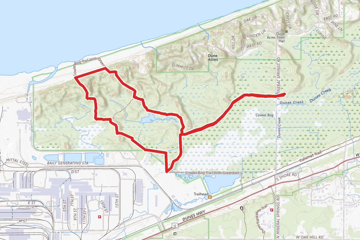
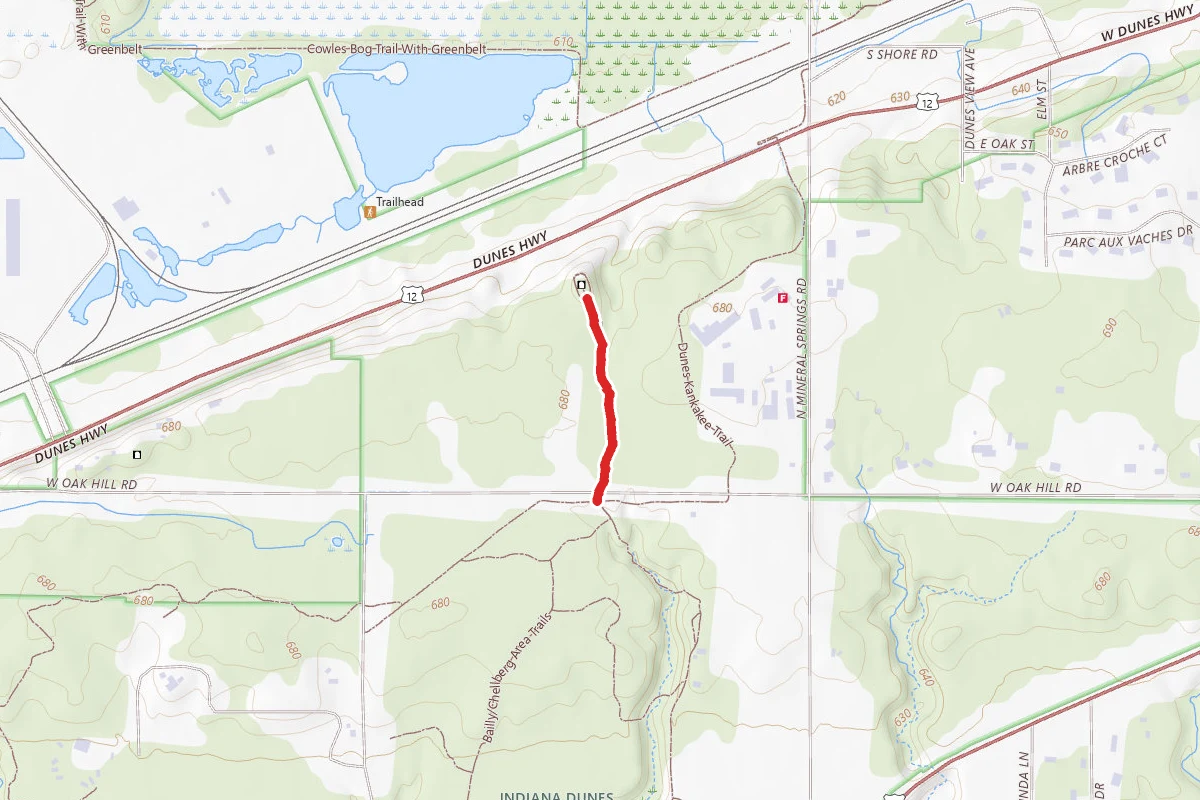
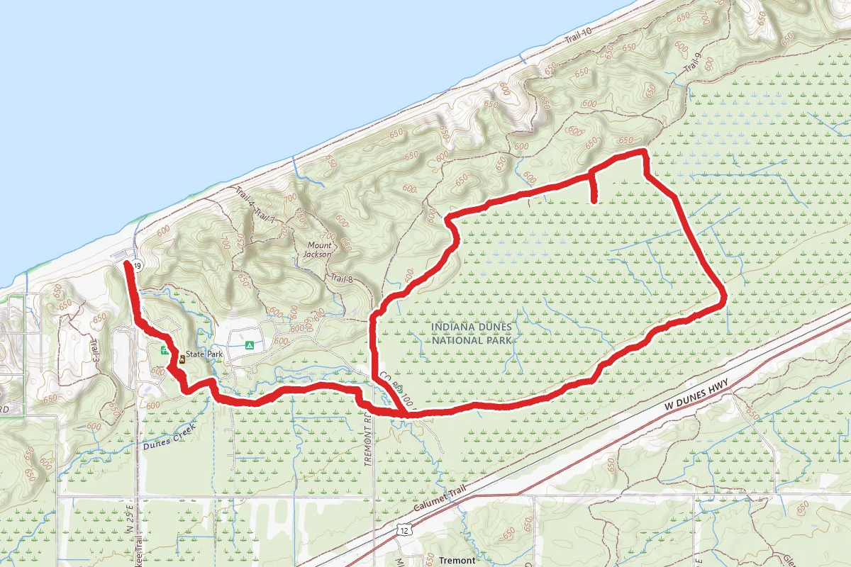
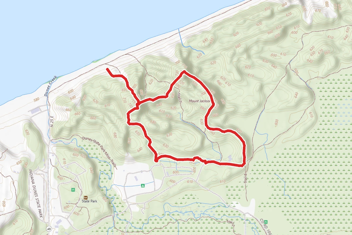
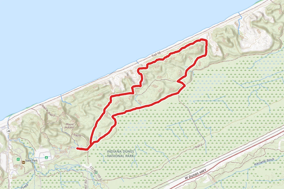
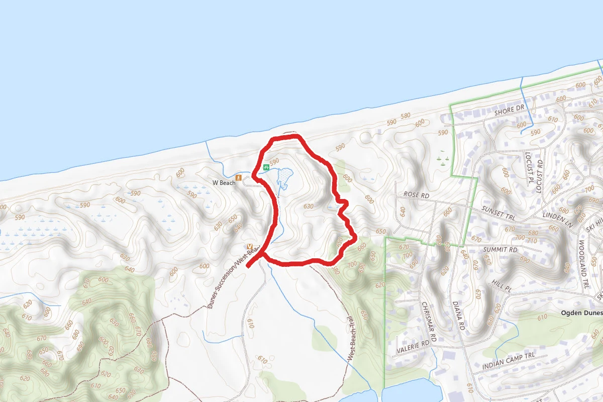
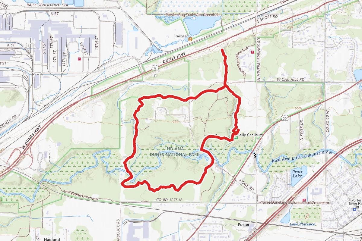
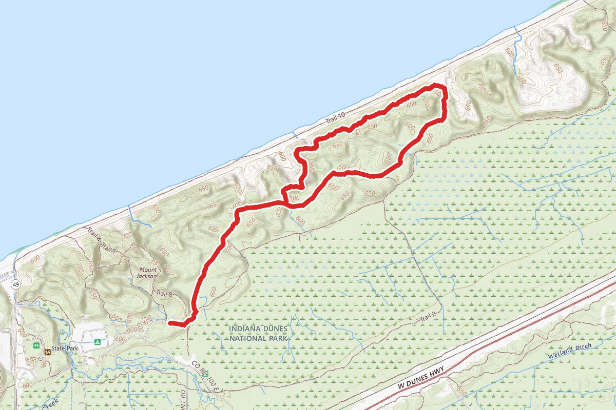
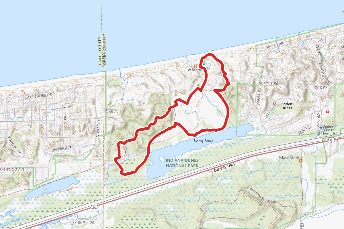
Cowles Bog Trail route map
ModerateLoop

Cowles Bog Trail

Dune Acres, Indiana

3.8 mi

Distance

502 ft

Elev. Gain

Loop

Route Type

Moderate

Difficulty

About This Trail

Imported description
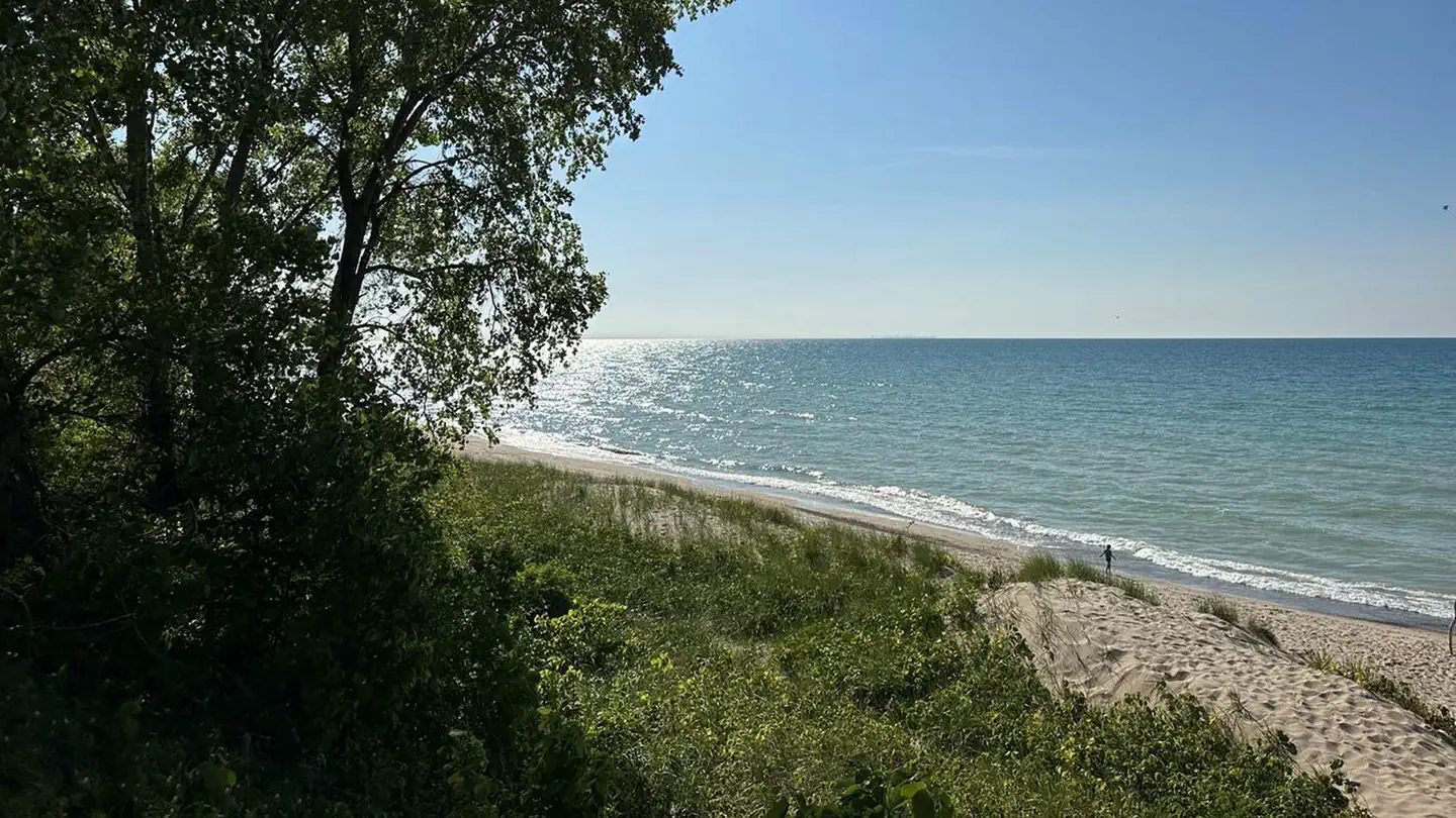
The featured hike is a lollipop shaped trail and a classic of the Indiana dunes. Starting from the north parking lot, hike out back to Mineral Springs Road on the gravel entrance road and pick up the trail across the street. The trail heads along the edge of a wetland with abundant plant and wildlife diversity. At roughly the one-mile mark, you will reach the loop trail junction. The preferred direction around the loop is counterclockwise. Take the trail to the right. The trail will now run through black oak savanna and between interdunal ponds filled with aquatic life. At roughly the 1.5-mile mark, stay to the right at the junction with the cut-off trail. As you near Lake Michigan, you have to climb up and then down the steep final dune. The reward is sweeping views of Lake Michigan and a beach to yourself. Pack a lunch and stay awhile. For the return, travel 0.2 miles to the west on the beach and look for the trail and signs to head back over the dune. Stay right at the cut-off trail junction, left at the Greenbelt trail south parking lot connector and right at the loop trail junction. The trail will now take you back out to the north parking lot. For a slightly shorter and easier journey, take the cut-off trail. This will take a little under a mile off the trail length and avoids the steep dune climbs (but also avoids seeing Lake Michigan). The Cowles Bog loop trail can also be accessed from the south using the Greenbelt Trail at the south parking lot. The Cowles Bog Trail highlights an area of such outstanding plant diversity that it was designated as a National Natural Landmark in 1965. This location, where Dr. Henry Cowles conducted much of his early work in plant ecology and succession in the early 1900s, remains an important focus for scientific study today. Explore several distinct habitats along this 4.7-mile trail including ponds, marshes, swamps, black oak savannas and beaches. Steep sand dunes near Lake Michigan make this a very strenuous journey. Many visitors pack a lunch to enjoy at the shoreline while resting for the return trip (don't forget to "pack out" your trash). Make sure to bring plenty of water and sun protection. - Both parking lots open daily from 6:00 am to 11:00 pm - Free (no entrance or parking fees). - Bicycles and motorized vehicles are not allowed. - Pets are permitted on a leash (6' or shorter). - Trail is not wheelchair accessible. - Trail surface is mixture of loose sand and packed dirt. - No potable water. - Year-round porta-potties are available at both the north and south parking lots. - The parking lot is gravel and has room for 10 cars (no handicap only spots). Turn right immediately before the town of Dune Acre’s guard shack.

Trail Conditions

Trail Conditions

Unknown

We have no current condition data for this trail. Check with the operator before you go, and submit a report below if you've been recently.

No recent condition reports. Be the first to share what you see on the trail.

Elevation Profile

Min:176 ft
Max:221 ft
153 ft
153 ft
176 ft191 ft206 ft221 ft0.0 mi1.1 mi2.2 mi3.3 mi4.3 mi

Trail Details

Route Type
Loop
Surface
Dirt

Official sources & verification

Managed by National Park Service

Verify before you go

Source of truth

Verify by phone or mail

  • Operator:219-395-1882
  • Address:1215 SR-49 · Porter, IN · 46304
We display cached information from agency feeds. Hours, fees, permits, closures, fire restrictions, and conditions change without notice. Outdoors is not the permitting authority. Confirm current conditions for this trail using the links above before you go — you are responsible for compliance. Last verified by us: May 23, 2026. Our copy is more than a month old — please reconfirm with the agency before relying on it.Spot an error in our data?

Reviews

No reviews yet

Be the first to share your experience and help others plan their visit.

Legacy import — verify before navigating

Path geometry came from our pre-launch legacy database. Routes have not yet been re-verified against the operator and may differ from the actual trail.

Hunt context

This trail crosses hunting unit

During hunting seasons, wear blaze orange and check regulations — see the Indiana hunting page

Spot an error in our data on Cowles Bog Trail?