Status unknown — verify before visiting

We don't have current condition data for this trail. Check with the land manager before you go.
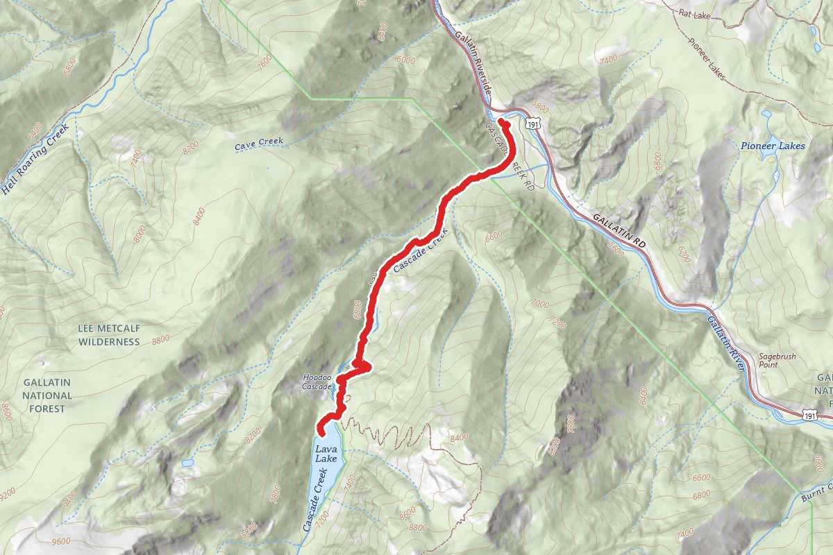
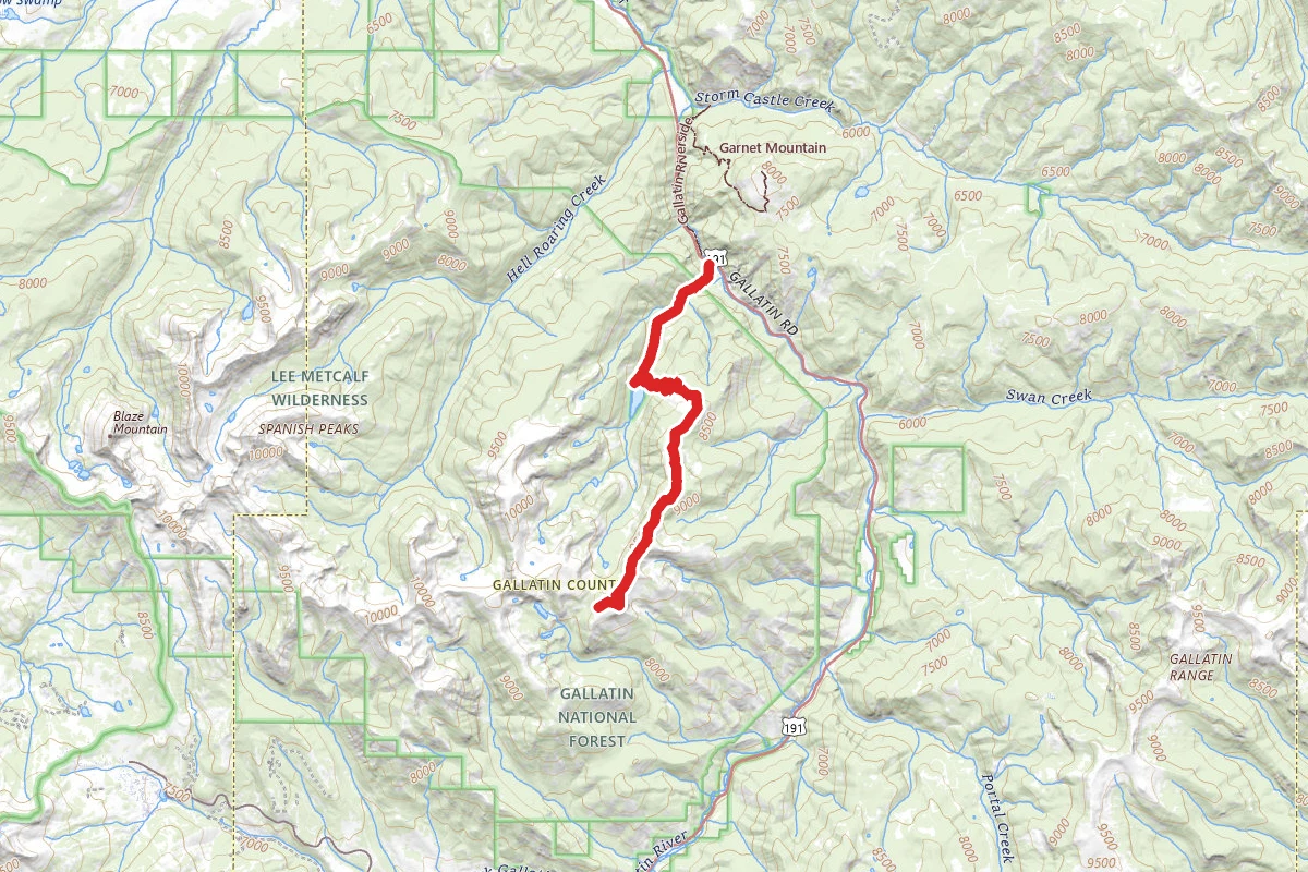
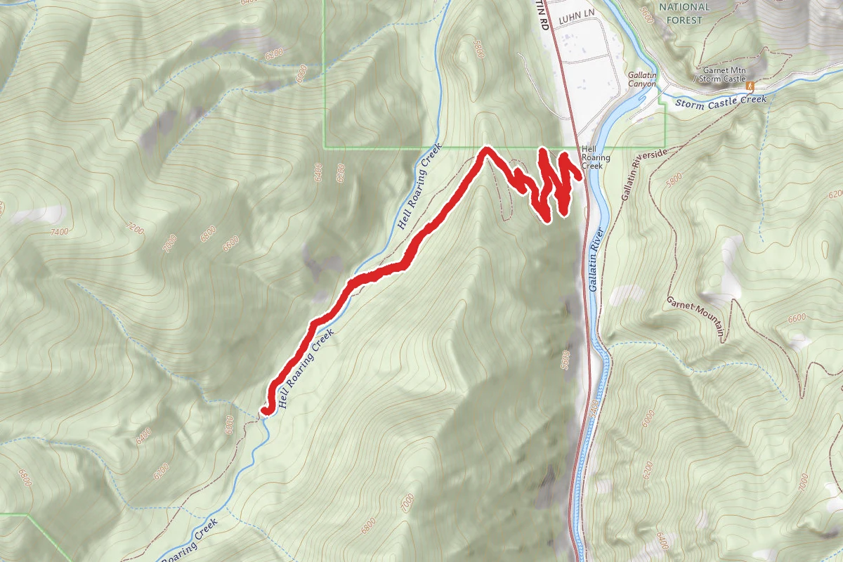
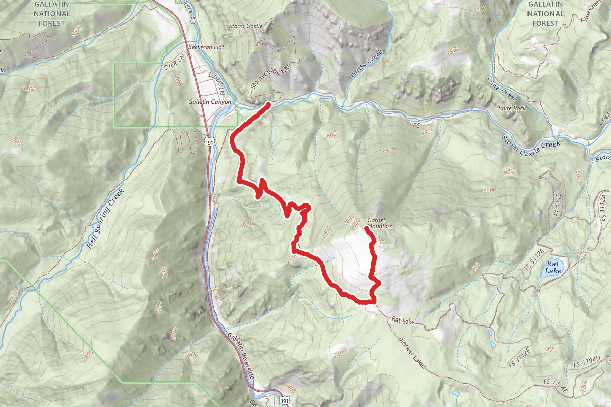
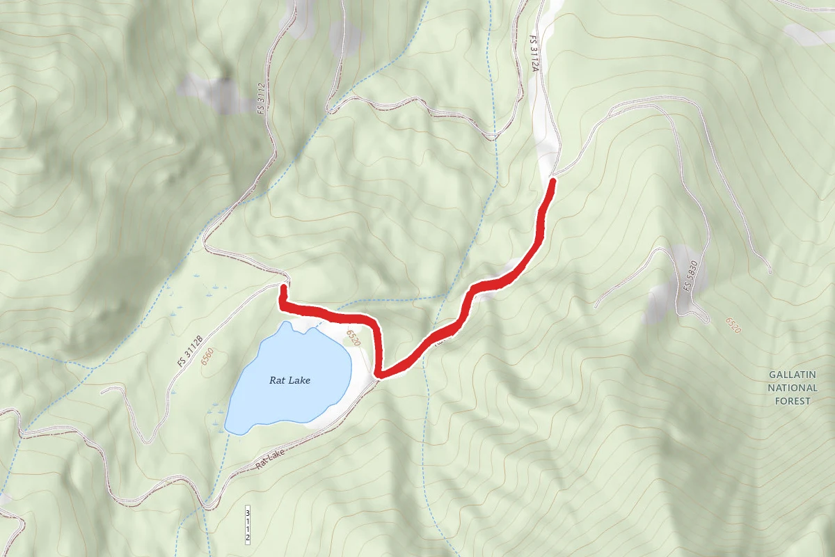
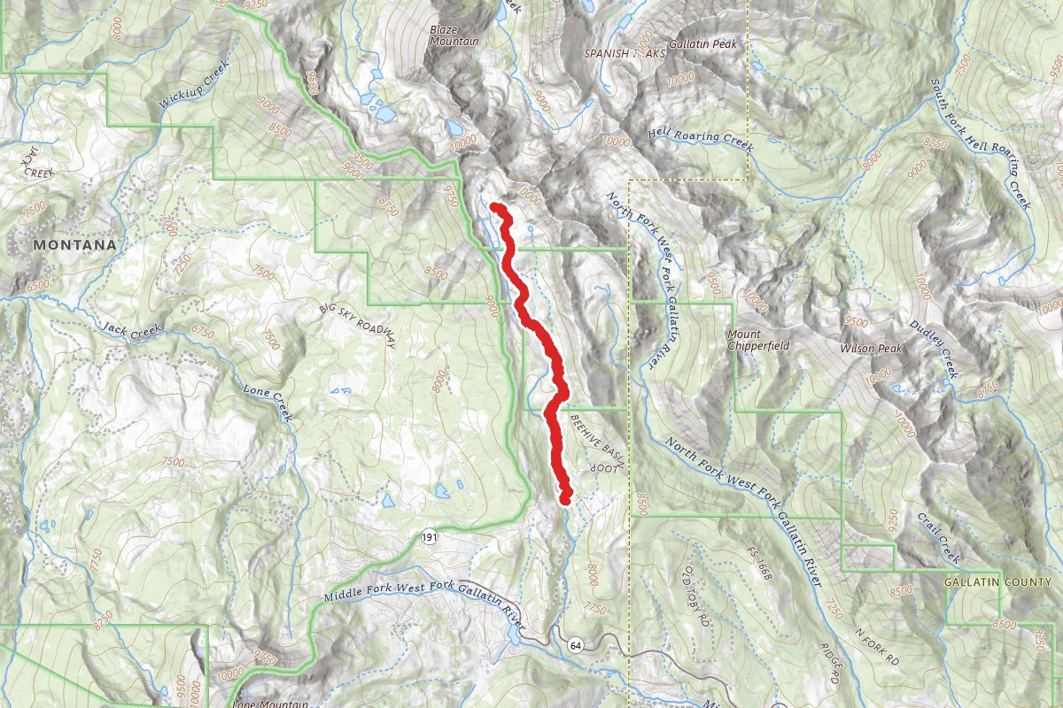
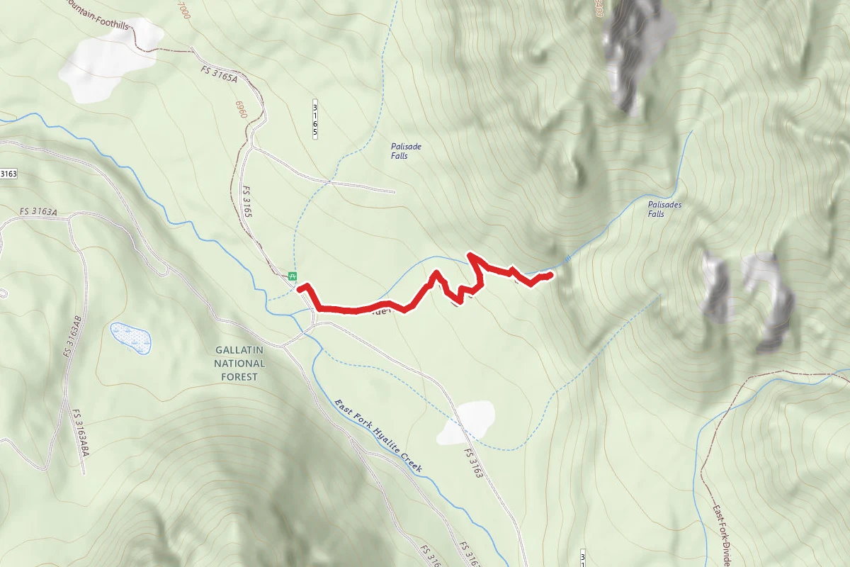
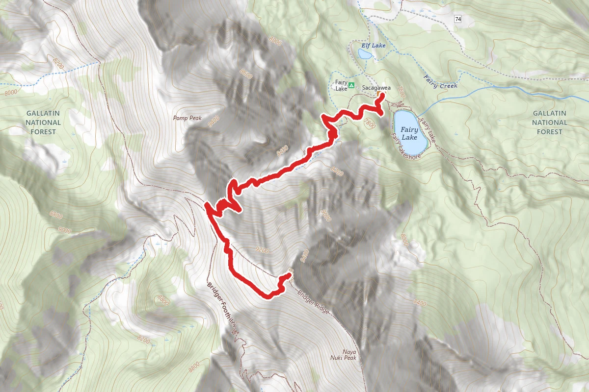
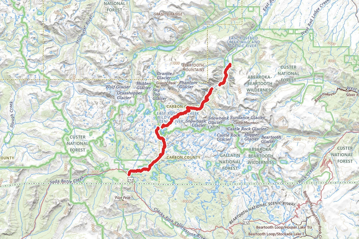
Lava Lake (Cascade Creek) Trail route map
DifficultOut and Back

Lava Lake (Cascade Creek) Trail

Gallatin Gateway, Montana

5.5 mi

Distance

1,890 ft

Elev. Gain

2h 39m

Est. Time

Out & Back

Route Type

Difficult

Difficulty

About This Trail

Imported description
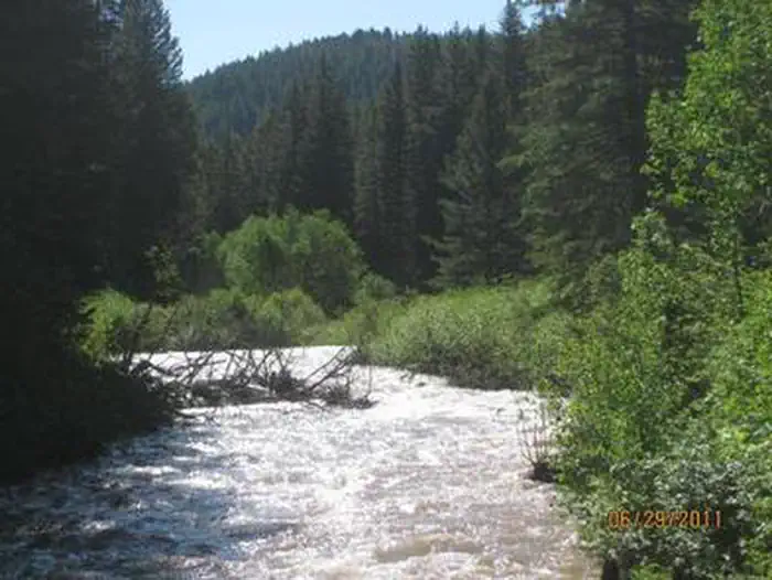
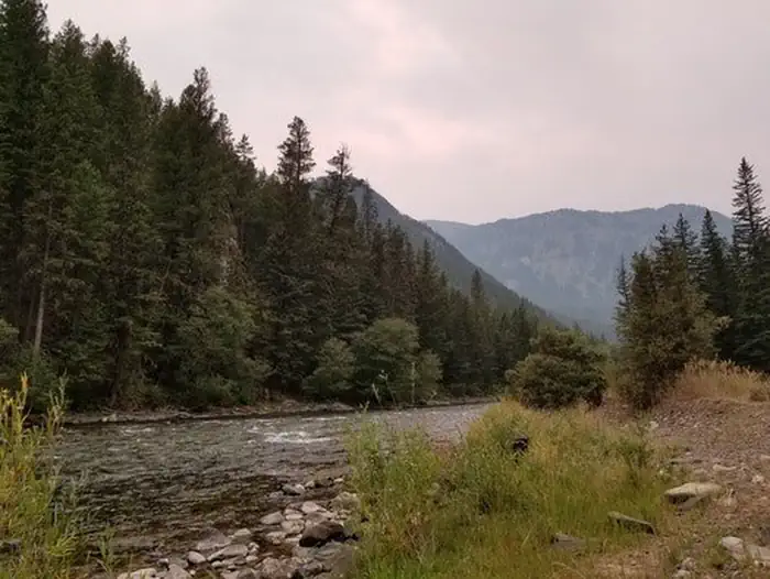
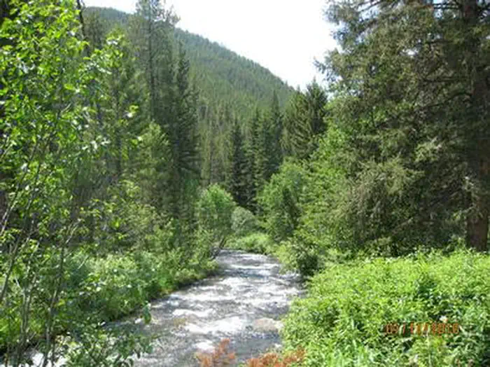
The Lava Lake (Cascade Creek) climbs 1600 ft to a beautiful lake setting that is surrounded by the Spanish Peaks. The trail to Lava Lake follows a very obvious route without any potentially confusing intersections, so unlike the vast majority of other hikes in this area, it is not absolutely essential to have a map. After skirting above some summer cabins for the first third of a mile, the trail enters the Cascade Canyon, which it follows to Lava Lake. Total distance to the lake is just less than three miles, with an elevation gain of 1600. While not a stroll along the beach, this hike is very do-able for anyone in reasonable shape. The elevation is gained steadily and gradually, and a log bridge facilitates the only creek crossing of any consequence. Views are somewhat limited for about the first half of the trip as the trail passes through a dense lodgepole forest, but open up as you get higher up into Cascade Creek. One other thing that could be viewed as good or bad, depending on your point of view, is that the trail is quite rocky. This is mostly a disadvantage for horse users, and the upside is that you wont encounter the mud bogs common to some other area trails with softer footing. Also, since the trail is not especially popular with horseback riders, hikers wont often have to step around horse droppings. As you start getting closer to the lake, the canyon bottom opens up with some meadows, a likely area to spot a moose. A little further and the trail switchbacks up the natural dam that backs up the lake, and you're there! The views improve dramatically at the lake, with 10,412 Jumbo Mountain and several other un-named 10,000 peaks surrounding the Cascade Creek valley. Should you wish to make your trip an overnighter theres several good camping sites near the foot of the lake, and even day-hikers will want to spend some time savoring the rewards of their exertion. If you're interested in fishing, its worth wetting a line in pursuit of the resident trout, which are mostly in about the 10" range. Some of the lakes in the Spanish Peaks are noted for bigger (sometimes much bigger!) fish, but they tend to be considerably harder to reach than Lava Lake. Although the official Cascade Creek trail ends at the foot of the lake, a well-trodden path extends to its upper end. Beyond that, you're on your own, though. Its not too hard to bushwhack about a half mile beyond the lake, but after that the valley becomes much steeper and choked with deadfall, making hiking beyond the lake a dubiously worthwhile venture. For those wishing a longer trip, just before Lava Lake a trail branches off and heads up the ridge to the east, gaining a grueling 2000 vertical feet, mostly in the first mile, on its way to a high (9000) ridge. Once this ridge is attained, though, the going gets easier, and the views are tremendous. It eventually crosses Table Mountain and descends to Deer and Moon lakes after about eight miles. Then you can descend Deer Creek back down to the Gallatin River, from whence you will have to hitchhike back to your vehicle unless you've arranged a shuttle beforehand. Total distance between trailheads on the route described is about 16 miles. Obviously, only fit and experienced backpackers should undertake these sort of trips.

Trail Conditions

Trail Conditions

Unknown

We have no current condition data for this trail. Check with the operator before you go, and submit a report below if you've been recently.

No recent condition reports. Be the first to share what you see on the trail.

Elevation Profile

Min:1,687 ft
Max:2,176 ft
576 ft
576 ft
1,687 ft1,850 ft2,013 ft2,176 ft0.0 mi1.4 mi2.8 mi4.1 mi5.5 mi

Trail Details

Route Type
Out & Back
Surface
Dirt

Official sources & verification

Managed by United States Forest Service

Verify before you go

Managing agency

Verify by phone or mail

  • Address:MT
We display cached information from agency feeds. Hours, fees, permits, closures, fire restrictions, and conditions change without notice. Outdoors is not the permitting authority. Confirm current conditions for this trail using the links above before you go — you are responsible for compliance. Last verified by us: May 23, 2026. Our copy is more than a month old — please reconfirm with the agency before relying on it.Spot an error in our data?

Reviews

No reviews yet

Be the first to share your experience and help others plan their visit.

Legacy import — verify before navigating

Path geometry came from our pre-launch legacy database. Routes have not yet been re-verified against the operator and may differ from the actual trail.

Hunt context

This trail crosses hunting units

During hunting seasons, wear blaze orange and check regulations — see the Montana hunting page

Spot an error in our data on Lava Lake (Cascade Creek) Trail?