Status unknown — verify before visiting

We don't have current condition data for this trail. Check with the land manager before you go.
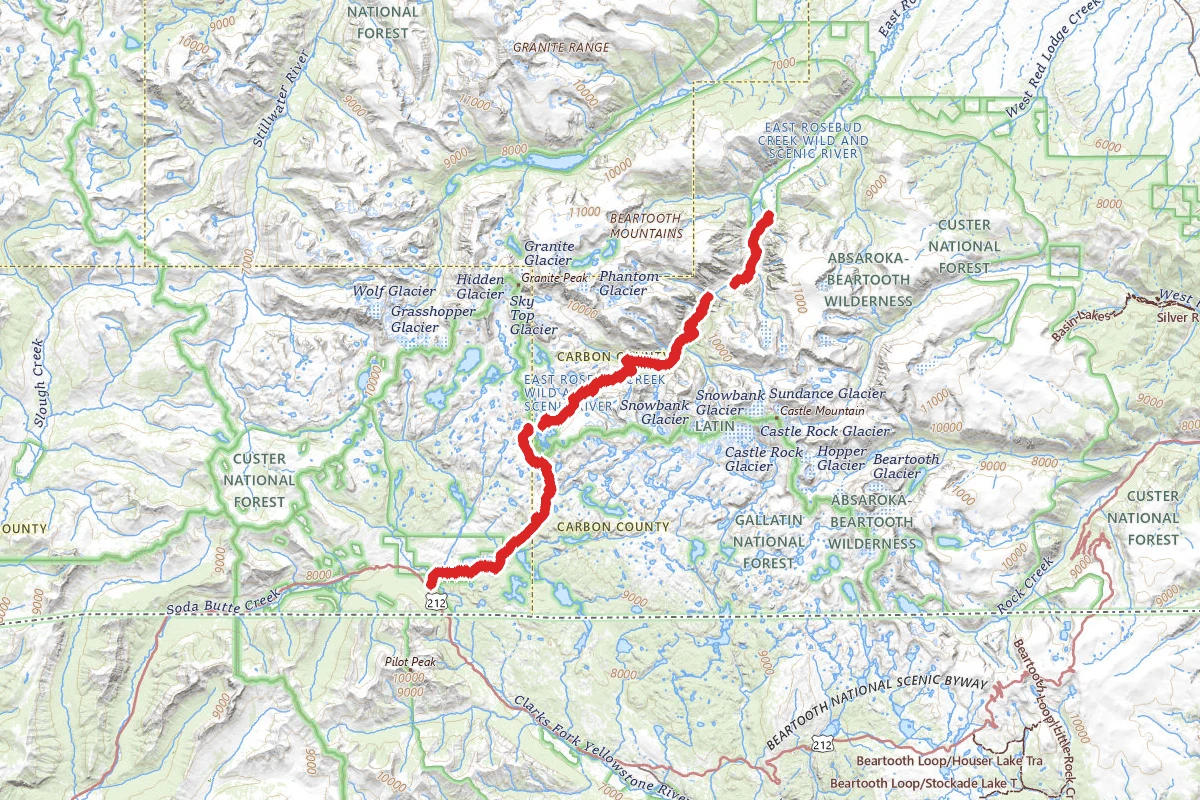
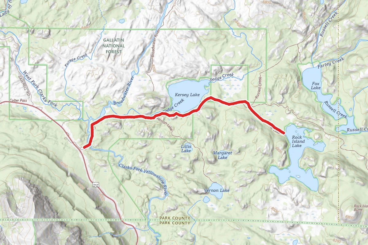
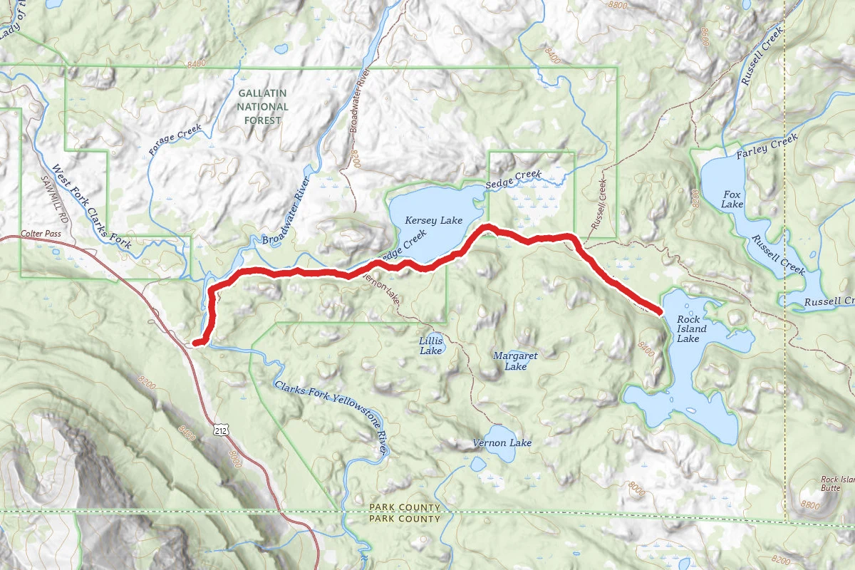
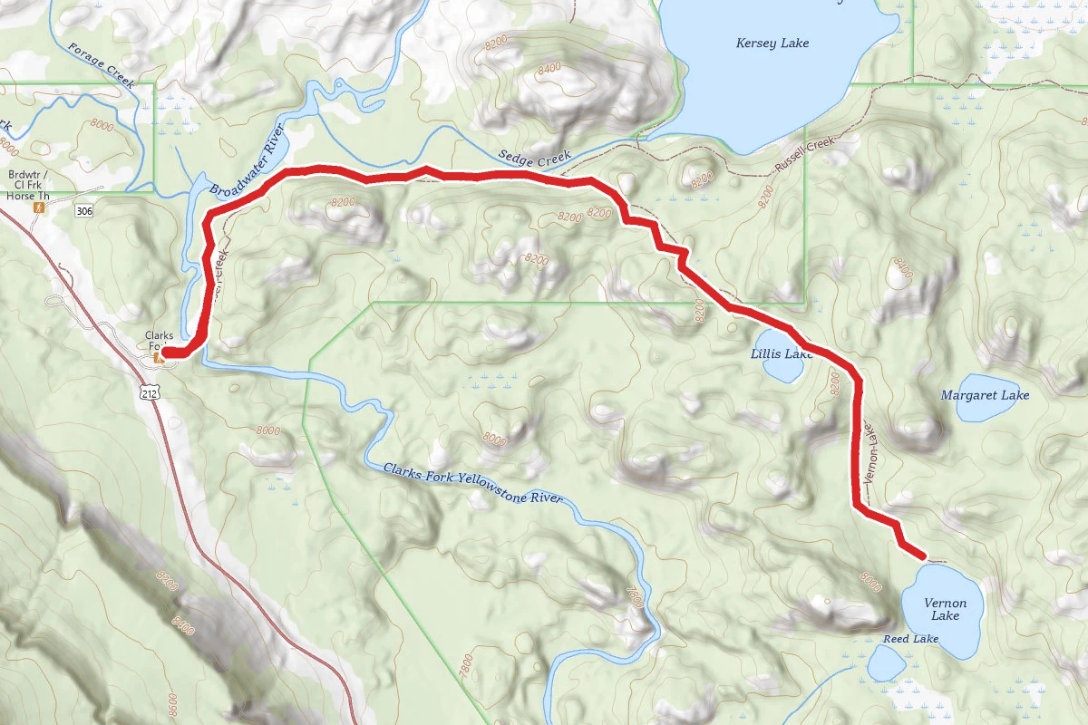
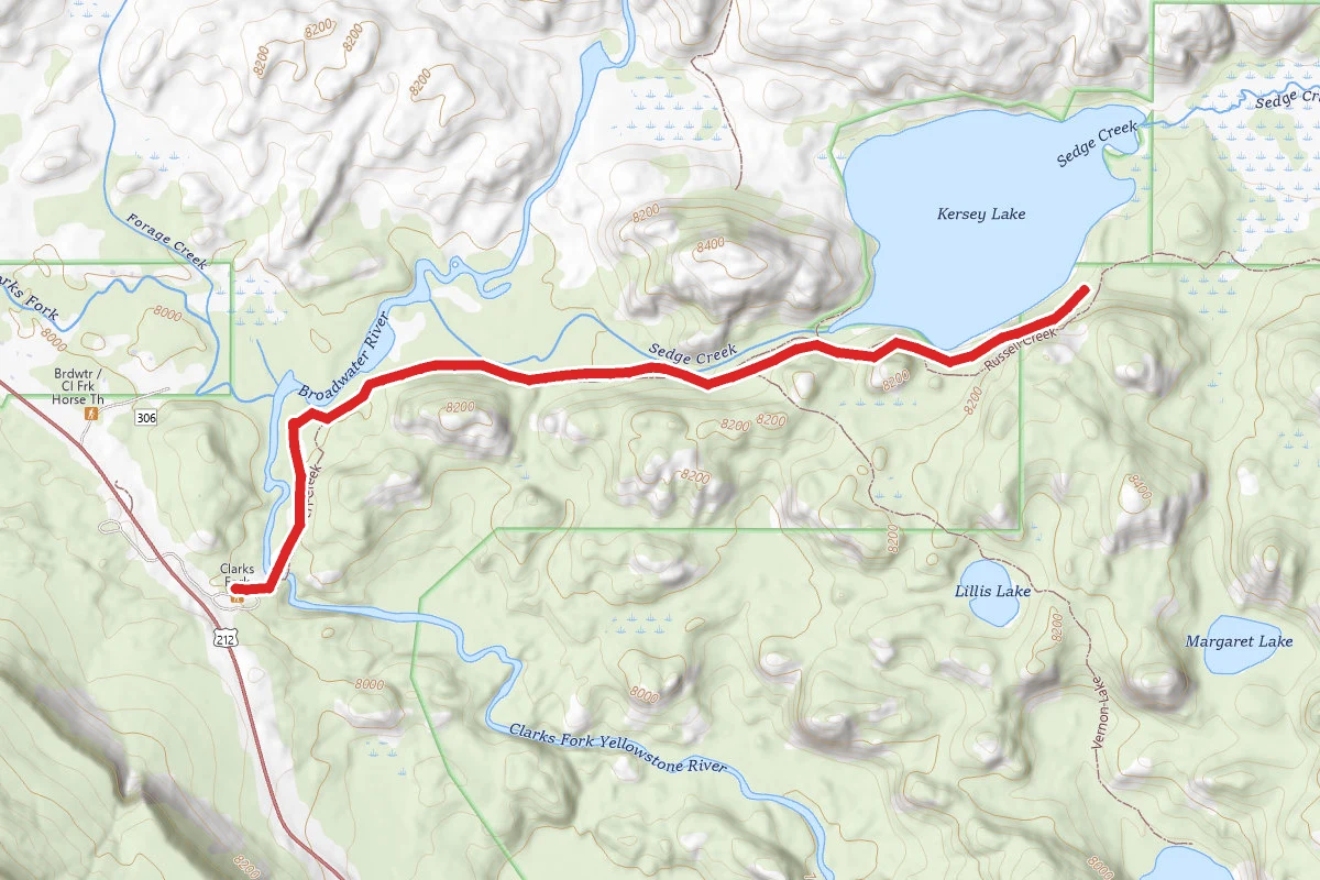
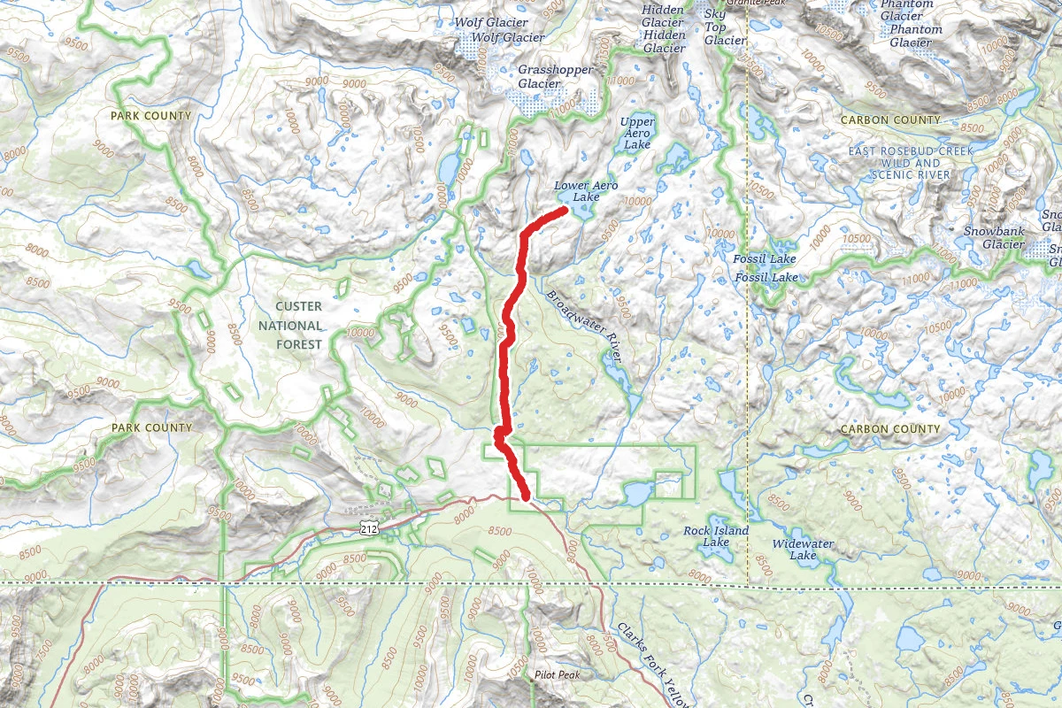
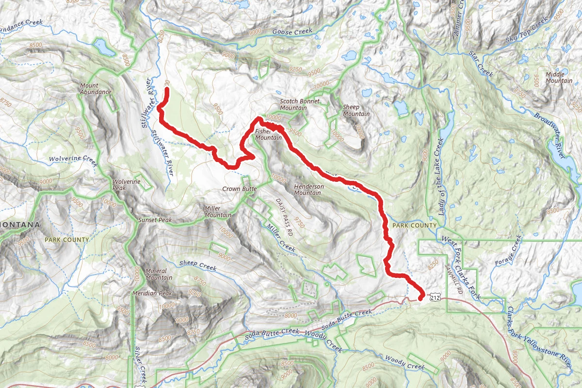
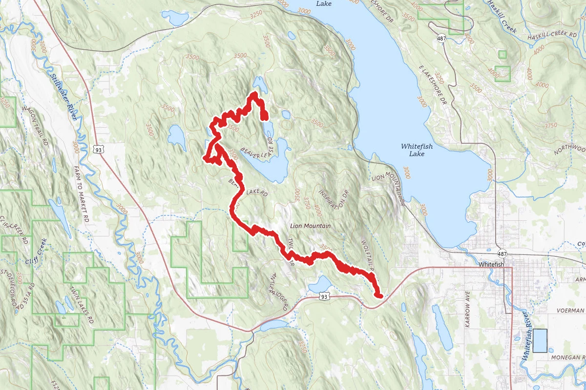
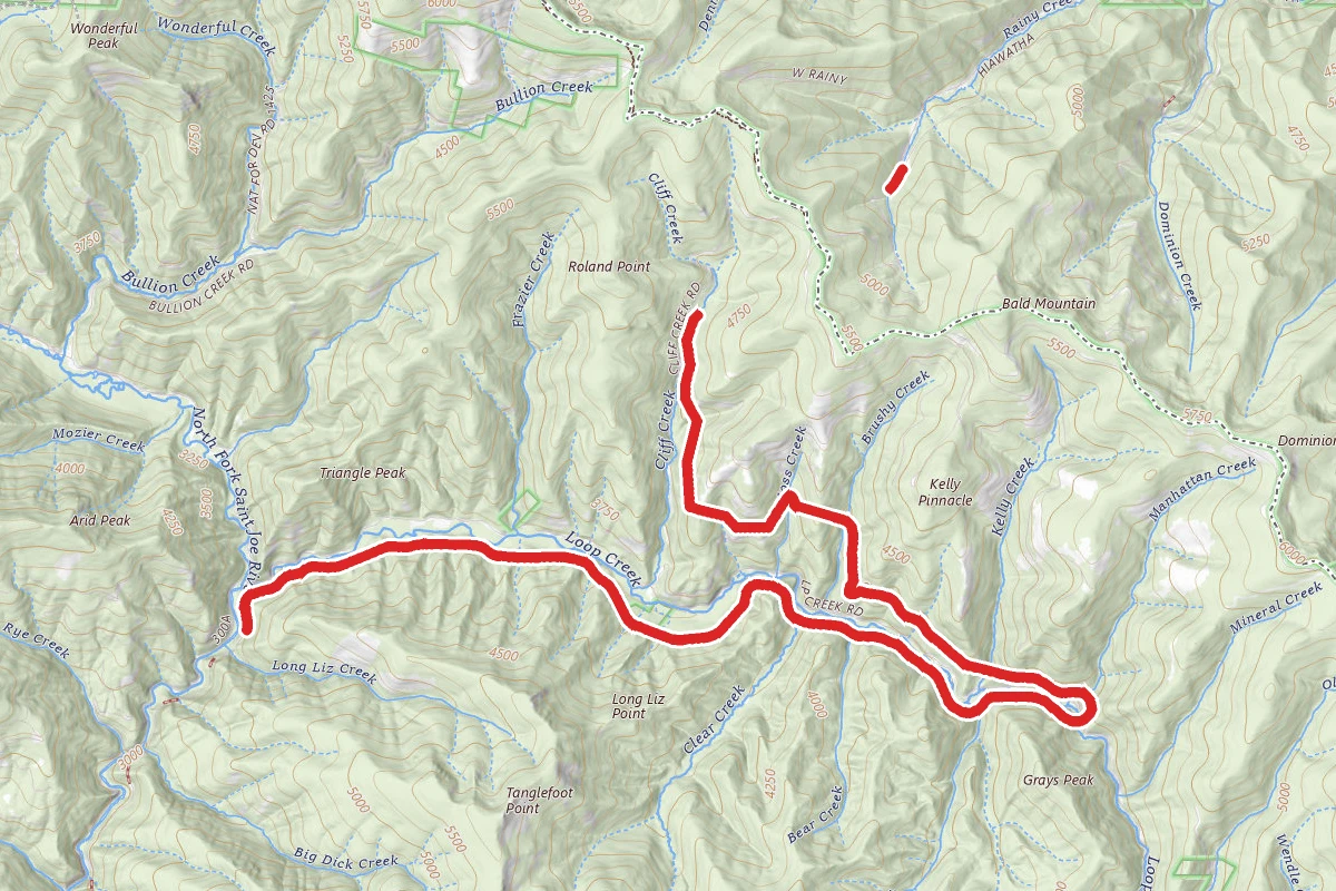
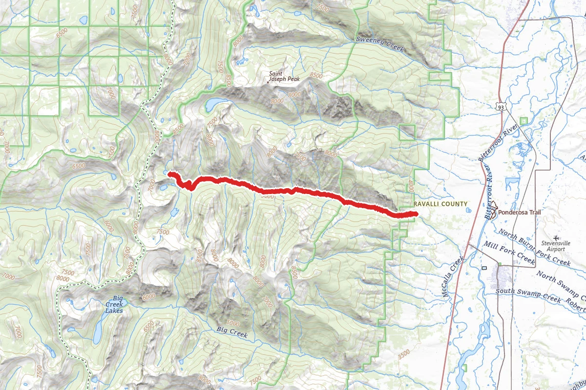
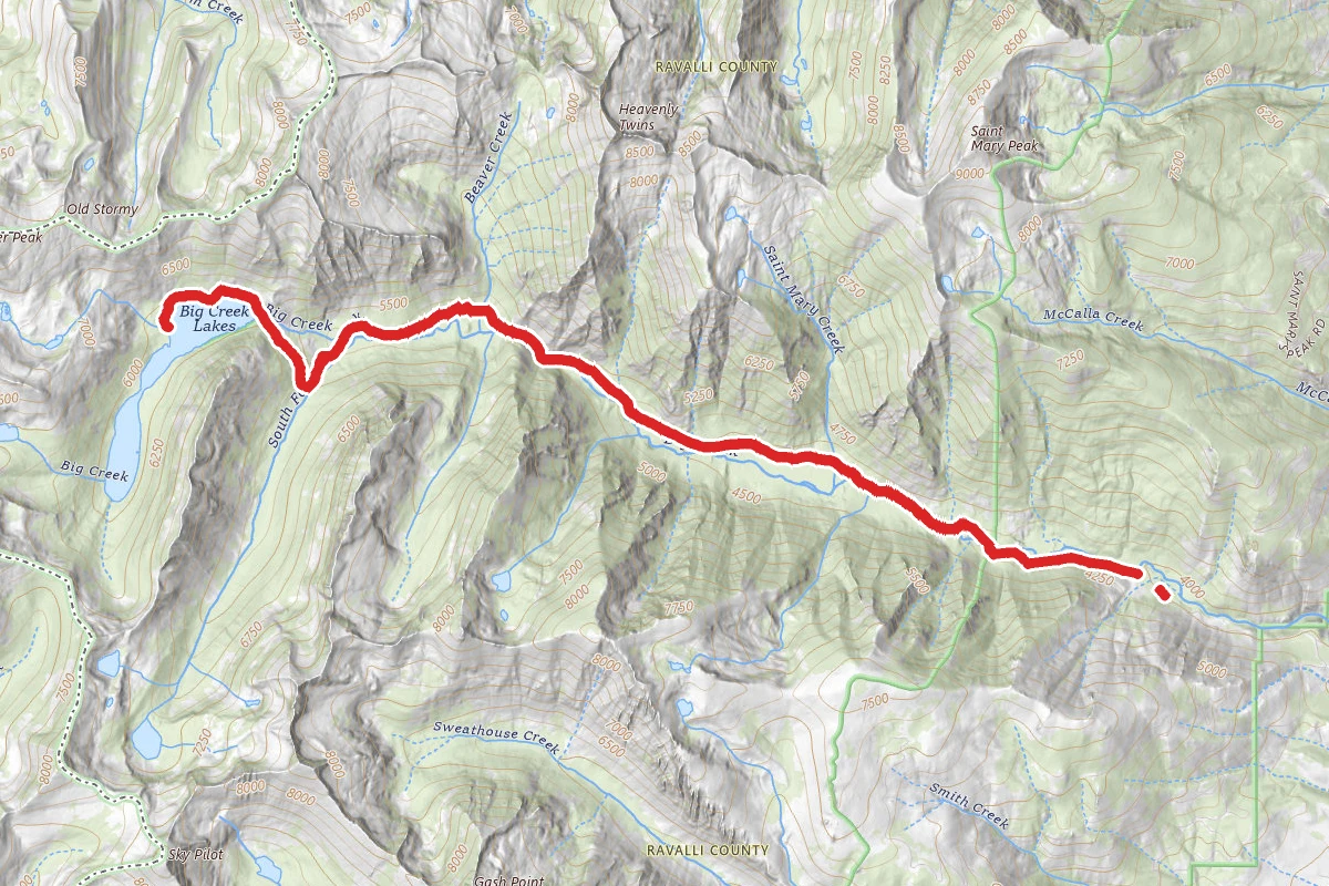
The Beaten Path Trail route map
ExpertPoint to Point

The Beaten Path Trail

Cooke City, Montana

28.6 mi

Distance

7,264 ft

Elev. Gain

11h 15m

Est. Time

Point to Point

Route Type

Expert

Difficulty

About This Trail

Imported description
Twenty-five miles of spectacular backpacking in the Absaroka Beartooth Wilderness of Montana, USA. "The Beaten Path" is a 25 mile trail traversing some of the most spectacular country within the 944,000 acre Absaroka-Beartooth Wilderness. Lakes and streams appear around just about every corner enticing both those appreciative of a spectacular Wilderness view or one with a penchant for hooking a trout upon the end of their fly-line. The trail itself is aptly-titled "The Beaten Path" for it is literally a well-worn treadway stretching from Cooke City in the South to East Rosebud in the North. Signage is ample and the route is easy-to-follow during the summer season (July - early September). For the more adventurous, ample opportunities to leave the trail and find true Wilderness lie up every draw you see. The Absaroka-Beartooth Wilderness is part of the greater Yellowstone ecosystem and spans 944,000 acres of Montana and Wyoming. The two access points to "The Beaten Path" are at East Rosebud Trailhead (about 15 miles from Roscoe, Montana) and the Clark Fork Trailhead (a couple miles East of Cooke City, Montana). You'll find primitive car camping options at both ends of the trail so arriving in the evening and car camping before an early departure into the backcountry is an option. The trail rises in elevation to a high point and then descends so hiking North from Cooke City or South from Ease Rosebud are both options. Viewing the elevation profile will provide you a better understanding and will help you decide which direction is best for you. The trail is approximately 25 miles long and passes through a number of ecosystems. Although it has been hiked in a single day many times the beauty of the scenery and possibility for off-trail exploration may cause you to opt to spend a few days along the path. Consider shorter days and spend the extra time fishing or bagging a peak.

Trail Conditions

Trail Conditions

Unknown

We have no current condition data for this trail. Check with the operator before you go, and submit a report below if you've been recently.

No recent condition reports. Be the first to share what you see on the trail.

Elevation Profile

Min:1,894 ft
Max:3,037 ft
2,214 ft
2,742 ft
1,894 ft2,275 ft2,656 ft3,037 ft0.0 mi7.1 mi14.3 mi21.4 mi28.5 mi

Trail Details

Route Type
Point to Point
Surface
Dirt

Official sources & verification

Managed by United States Forest Service

Verify before you go

Managing agency

Verify by phone or mail

  • Address:MT
We display cached information from agency feeds. Hours, fees, permits, closures, fire restrictions, and conditions change without notice. Outdoors is not the permitting authority. Confirm current conditions for this trail using the links above before you go — you are responsible for compliance. Last verified by us: May 23, 2026. Our copy is more than a month old — please reconfirm with the agency before relying on it.Spot an error in our data?

Reviews

No reviews yet

Be the first to share your experience and help others plan their visit.

Legacy import — verify before navigating

Path geometry came from our pre-launch legacy database. Routes have not yet been re-verified against the operator and may differ from the actual trail.

Hunt context

This trail crosses hunting units

During hunting seasons, wear blaze orange and check regulations — see the Montana hunting page

Spot an error in our data on The Beaten Path Trail?