Status unknown — verify before visiting
We don't have current condition data for this trail. Check with the land manager before you go.
12.5 mi
Distance
1,358 ft
Elev. Gain
4h 35m
Est. Time
Loop
Route Type
Expert
Difficulty
About This Trail
Imported descriptionTrail Conditions
Trail Conditions
We have no current condition data for this trail. Check with the operator before you go, and submit a report below if you've been recently.
No recent condition reports. Be the first to share what you see on the trail.
Elevation Profile
Trail Details
- Route Type
- Loop
- Surface
- Dirt
Official sources & verification
Managed by United States Forest Service
Managing agency
- United States Forest Service
Find offices, alerts, and current orders for this agency.
Verify by phone or mail
- Address:ID
Reviews
No reviews yet
Be the first to share your experience and help others plan their visit.
Legacy import — verify before navigating
Path geometry came from our pre-launch legacy database. Routes have not yet been re-verified against the operator and may differ from the actual trail.
Hunt context
This trail crosses hunting unit
During hunting seasons, wear blaze orange and check regulations — see the Idaho hunting page

_2021-08-10,_05.jpg/1280px-Grand_Prismatic_Spring_from_Fairy_Falls_Trail_overlook_(Midway_Geyser_Basin,_Yellowstone_National_Park)_2021-08-10,_05.jpg)
In this park
Other trails in Targhee National Forest
Darby Canyon Wind Cave Trail
Wyoming
Upper Palisades Lake Trail
Idaho
Mesa Falls Nature Trail
Idaho
Alaska Basin Trail
Wyoming
Upper Mesa Falls Boardwalk & Lookout
Idaho
Targhee Creek Trail
Montana
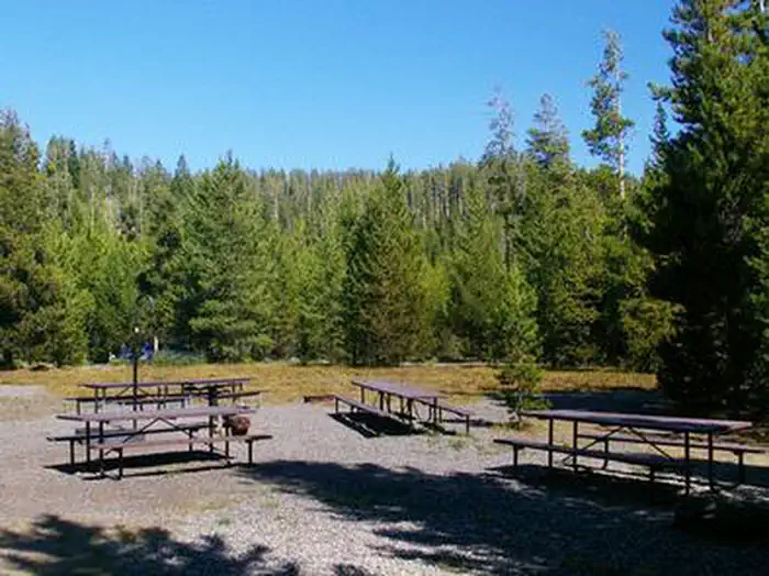
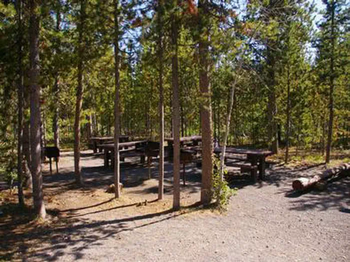
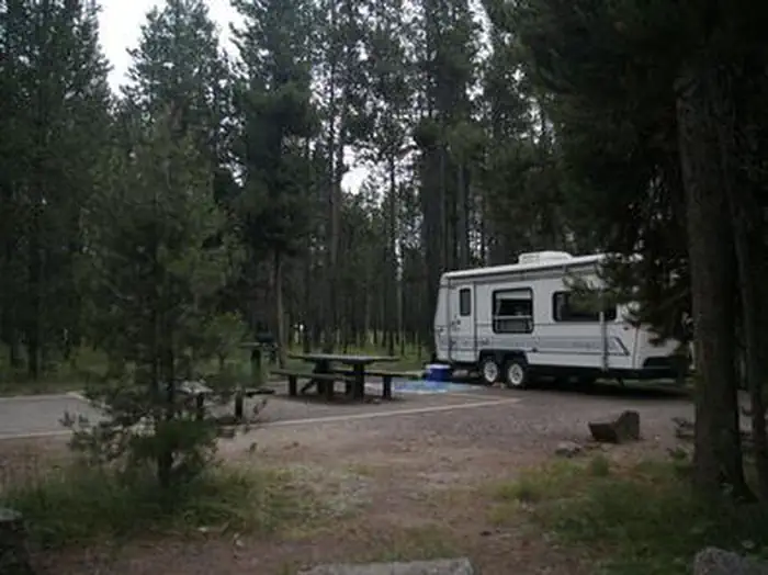
Stay nearby
Campgrounds near this trail
Similar length
Similar trails in Idaho
Stack Rock Trail
Idaho

Sawtooth Lake
Idaho
Scotchman Peak Trail
Idaho
Hulls Gulch Nature Trail
Idaho
Upper Palisades Lake Trail
Idaho
Marie Creek Trail
Idaho