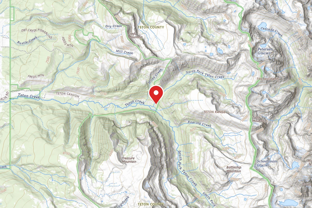
2h 5m
Est. Time
Loop
Route Type
Difficult
Difficulty
About This Trail
Table Mountain Trail is a loop trail in Targhee National Forest, managed by the United States Forest Service, in Teton County, Wyoming. The nearest town is Alta, Wyoming, about 4 miles away in a straight line.
From the trail data on this page. For conditions and closures, see official sources.
Trail Conditions
Trail Conditions
We have no current condition data for this trail. Check with the operator before you go, and submit a report below if you've been recently.
No recent condition reports. Be the first to share what you see on the trail.
Hazards & Warnings
Trail Details
- Route Type
- Loop
Official sources & verification
Managed by United States Forest Service
Source of truth
- Agency source page
The page our published rules and notes are derived from.
- Jedediah Smith Wilderness
USFS Caribou-Targhee National Forest
Where it is
- Nearest town:
- Alta, WY · about 4 mi away
- County:
- Teton County, WY
- Jurisdiction:
- Targhee National Forest · United States Forest Service
Nearest town and county from U.S. Census Bureau place records and county boundaries.
Highlights
Reviews
No reviews yet
Be the first to share your experience and help others plan their visit.
Nearby Trails
More trails near Table Mountain Trail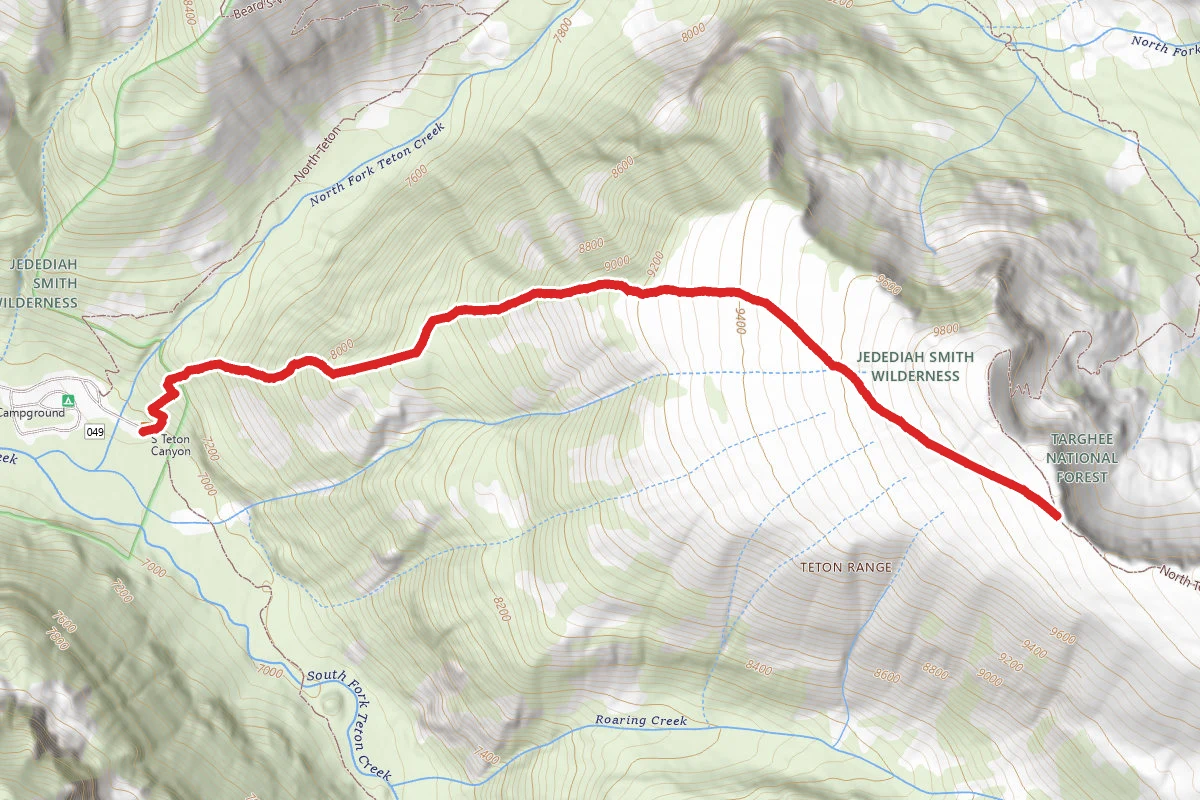
Face Trail
0.0 mi away
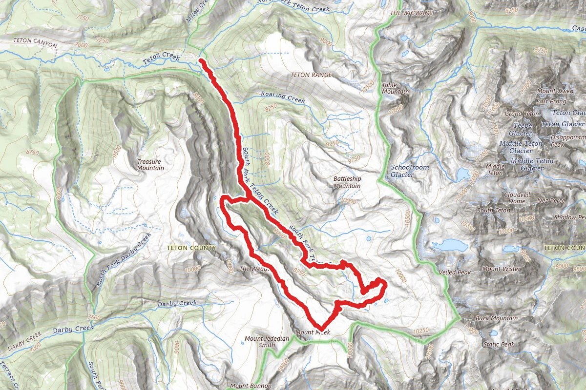
Alaska Basin Trail
0.0 mi away
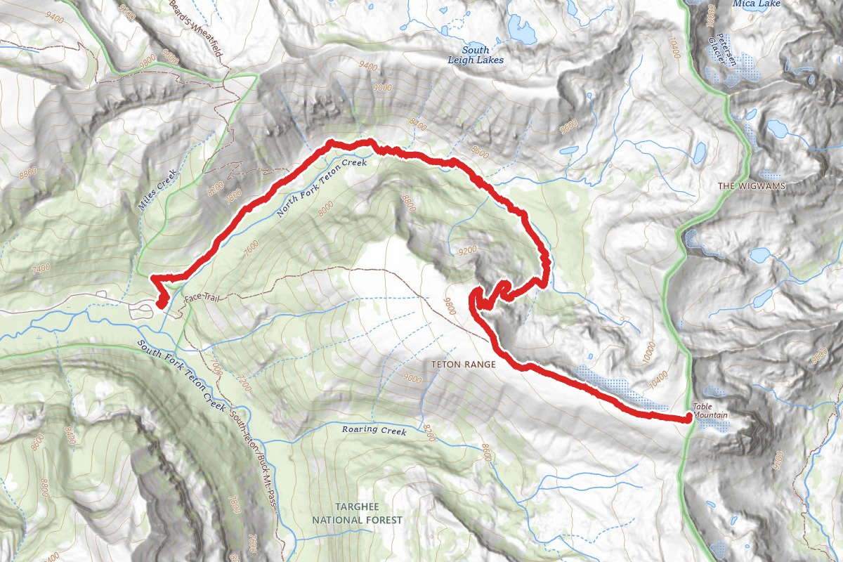
North Teton
0.1 mi away
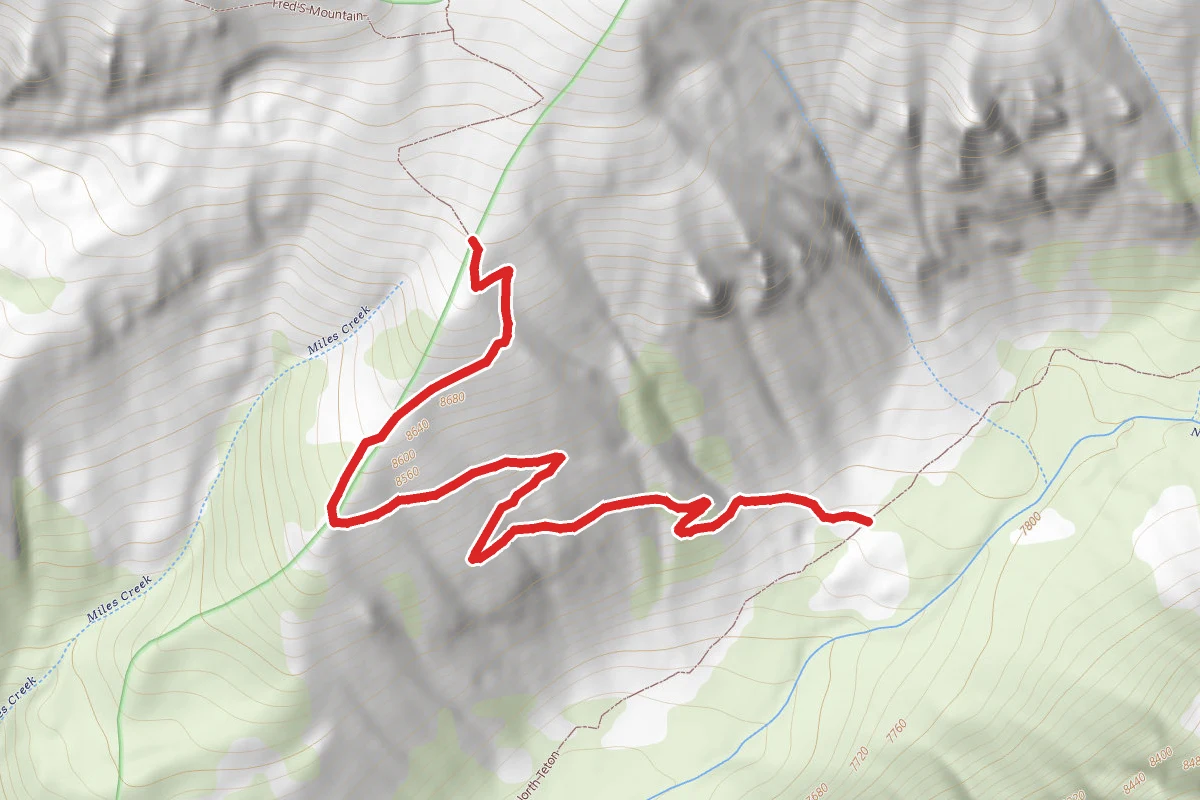
Beard's Wheatfield
1.1 mi away
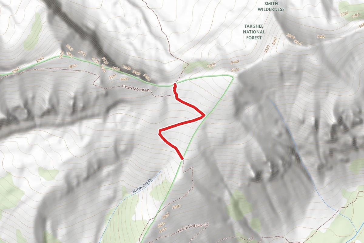
Beard's Wheatfield
1.2 mi away
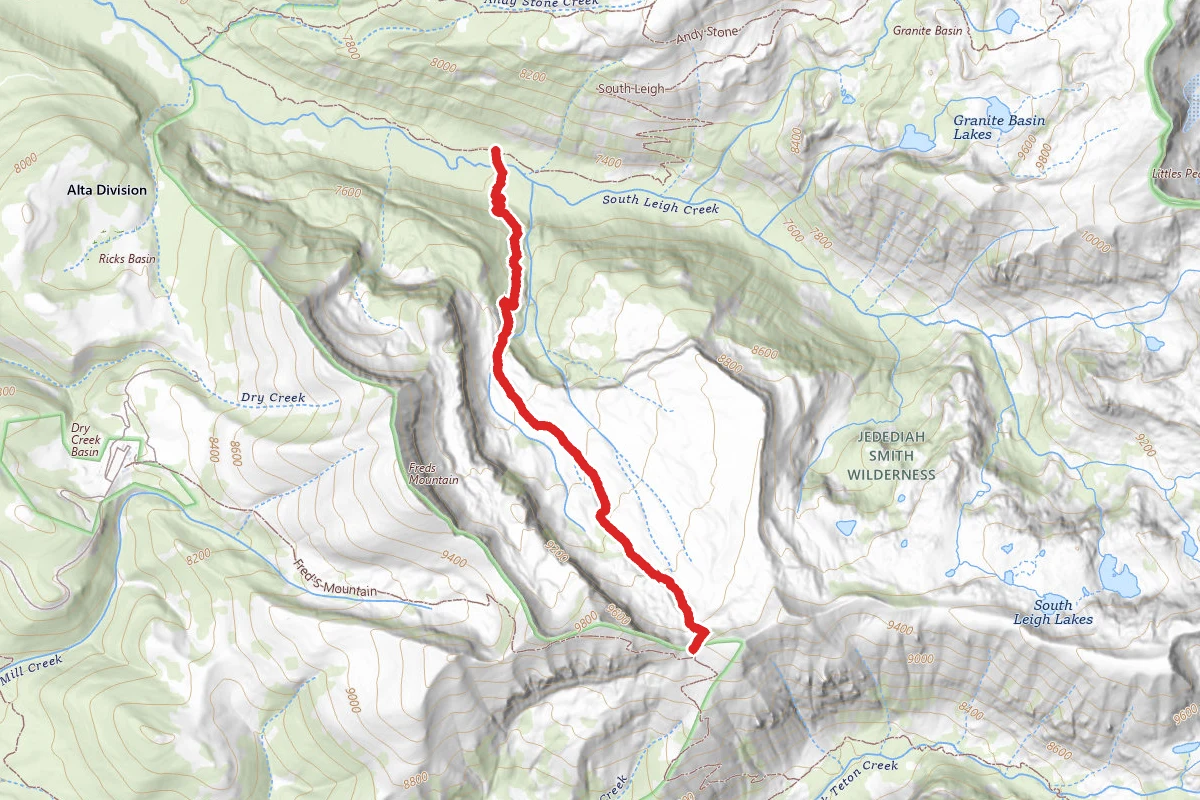
Beard's Wheatfield
1.5 mi away
In this park
Other trails in Targhee National Forest
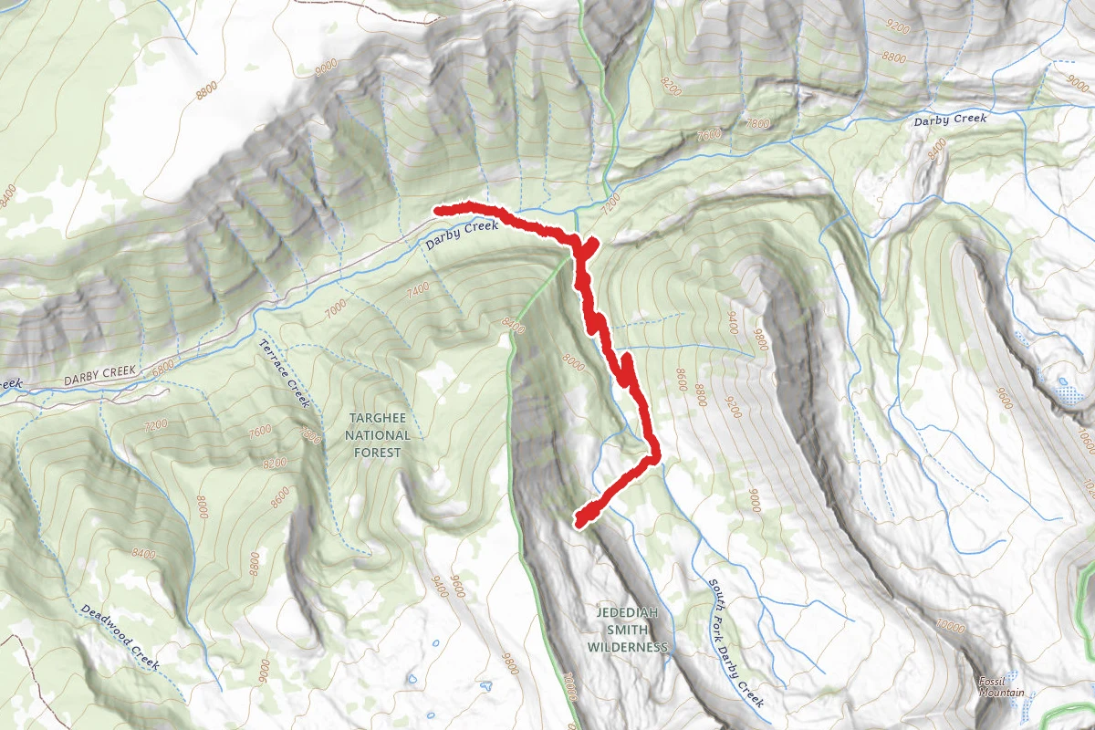
Darby Canyon Wind Cave Trail
Wyoming
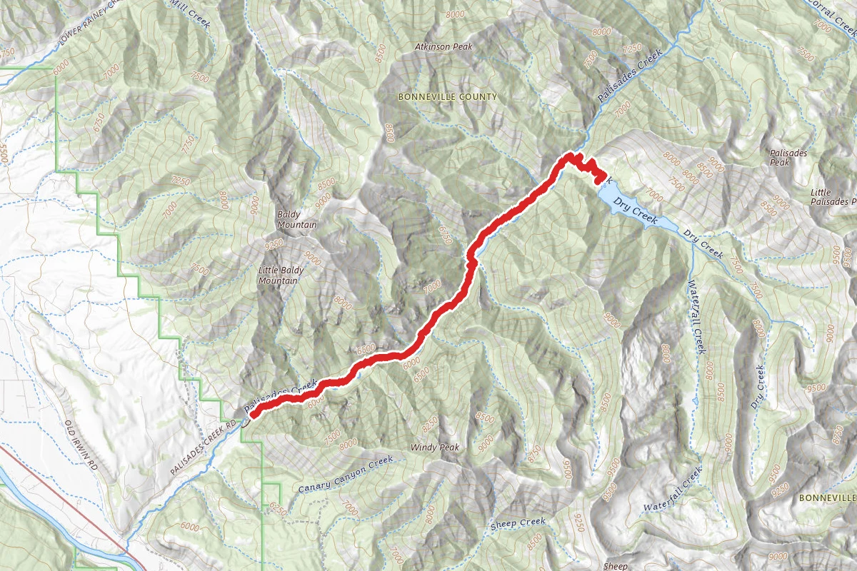
Upper Palisades Lake Trail
Idaho
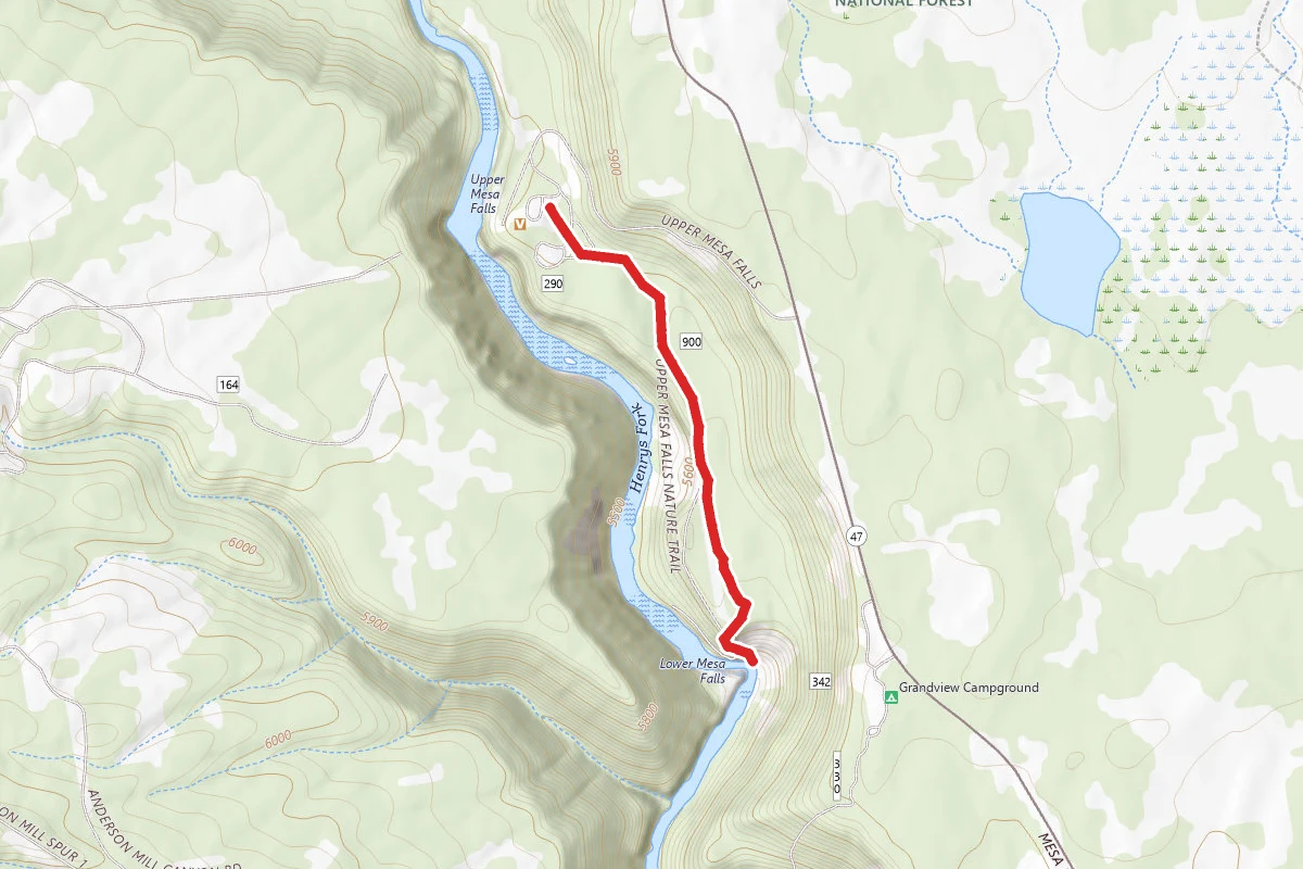
Mesa Falls Nature Trail
Idaho
Alaska Basin Trail
Wyoming
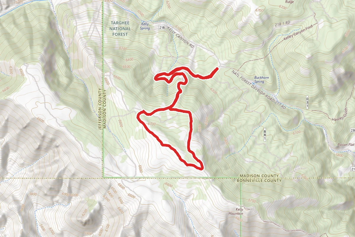
Kelly Canyon Trail
Idaho
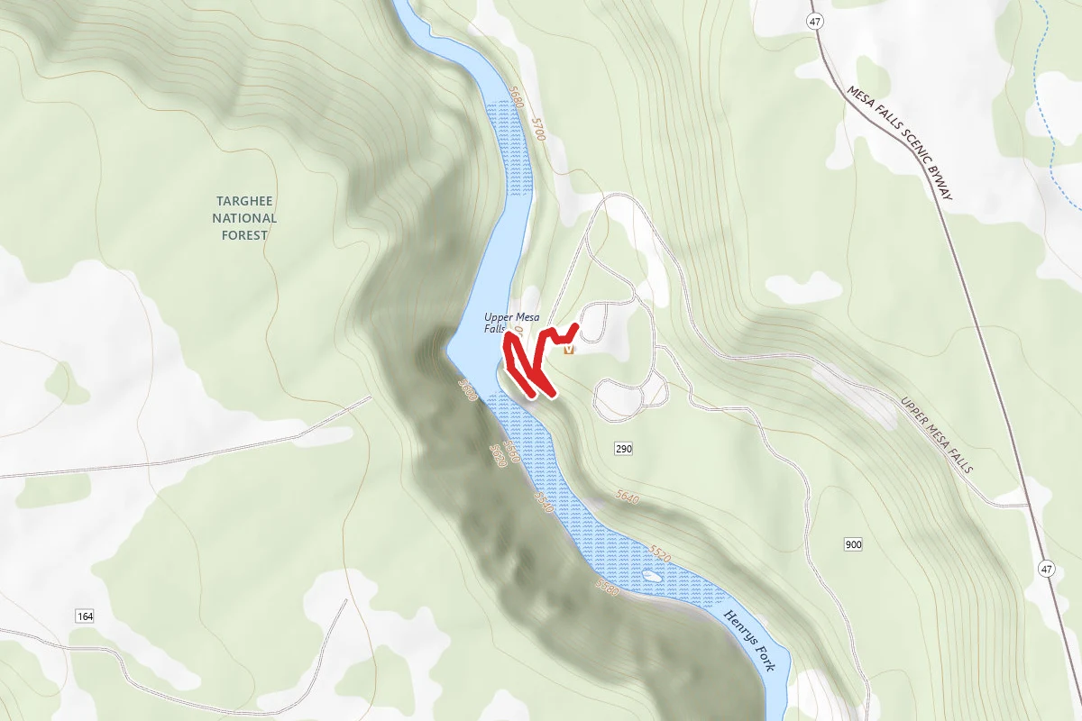
Upper Mesa Falls Boardwalk & Lookout
Idaho
Stay nearby
Campgrounds near this trail
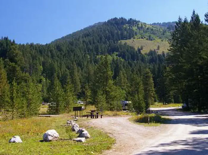
Teton Canyon
0.2 mi awayCaribou-Targhee National Forest
Alta, WY
Check official pricing27 sitesReservable TentRV Well reviewedBooks out · 100% No Service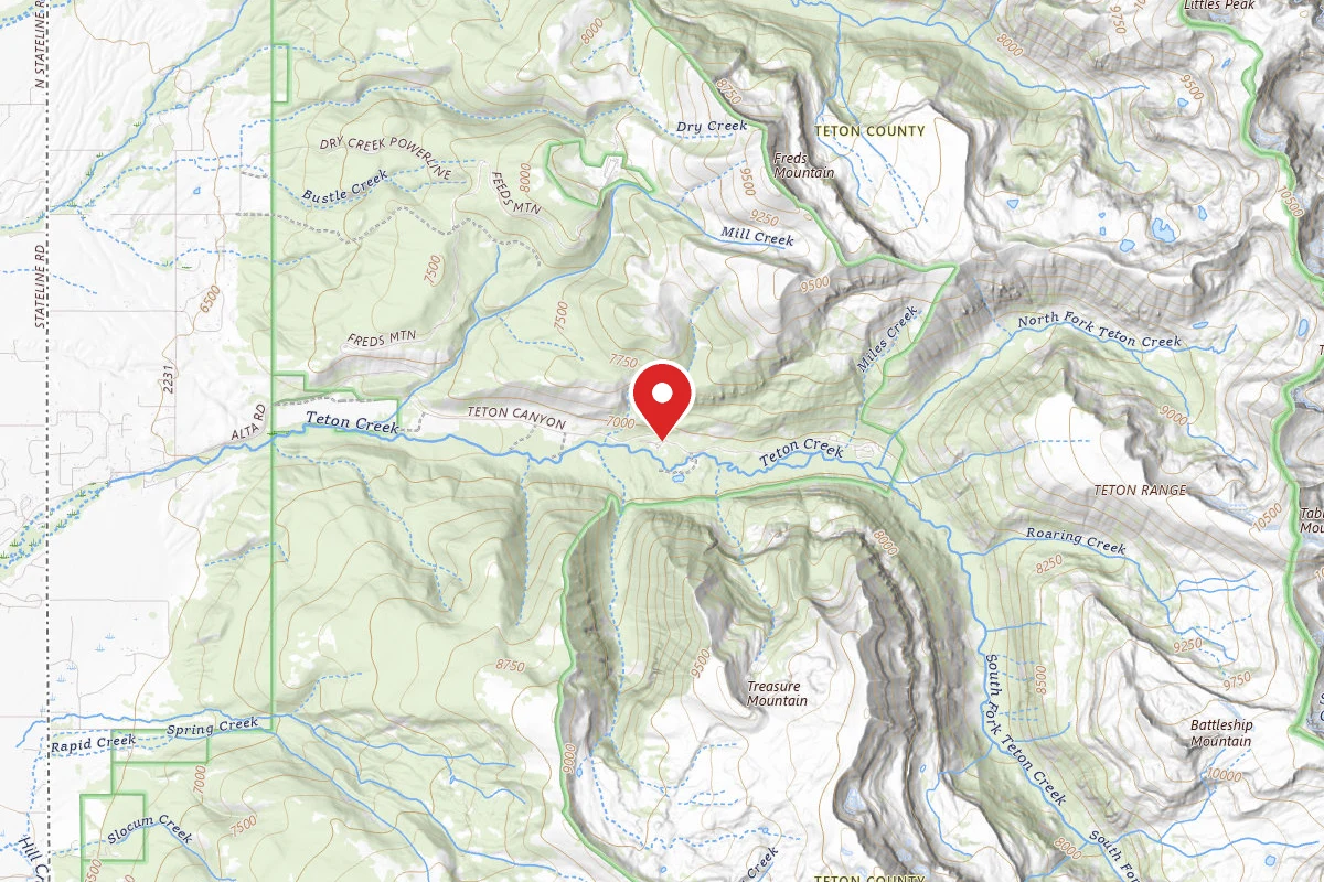
Targhee National Forest Reunion Flat Group Campground
1.8 mi awayTarghee National Forest
Driggs, ID
National Forest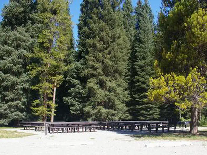
Reunion Flat
1.8 mi awayTarghee National Forest
Alta, WY
Check official pricing8 sitesReservable TentRV Well reviewed Major Issues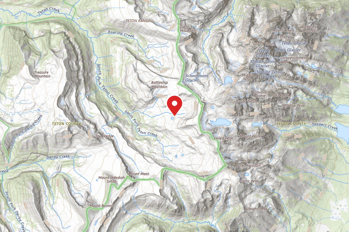
Dispersed Site near 43.7113, -110.8549
4.3 mi awayTarghee National Forest
Dispersed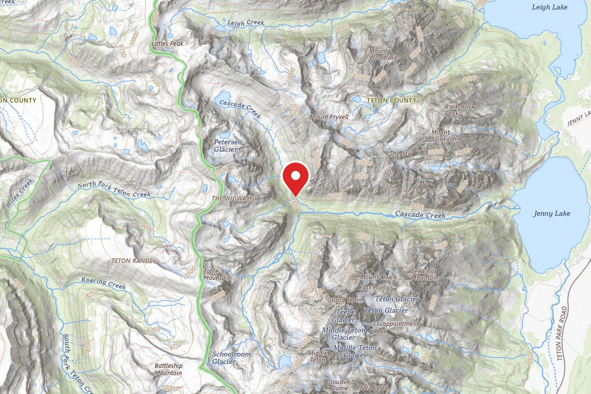
Cascade Canyon - North Fork
4.9 mi awayGrand Teton National Park
Alta, WY
Dispersed Reservable
Alaska Basin Backcountry Camping
4.9 mi awayTarghee National Forest
Alta, WY
Dispersed
Similar length
Similar trails in Wyoming
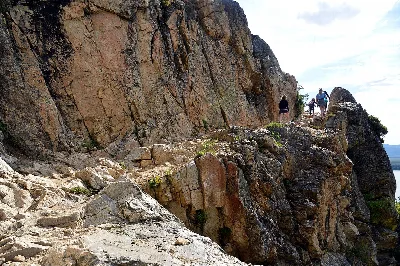
Cascade Canyon Trail
Wyoming
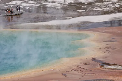
Fairy Falls Trail
Wyoming
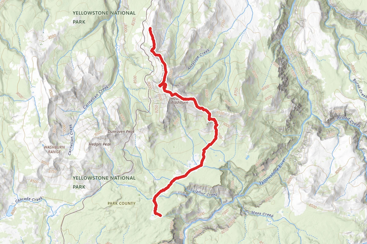
Mount Washburn Trail
Wyoming
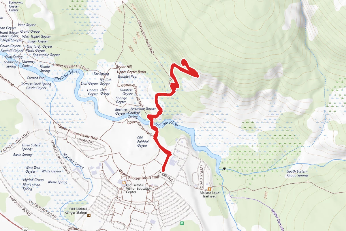
Observation Point Trail (Old Faithful)
Wyoming
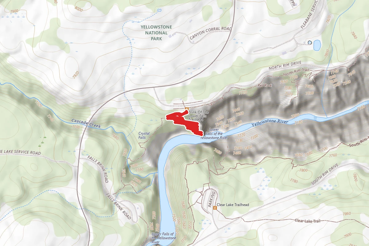
Brink of the Lower Falls Trail
Wyoming
Uncle Tom's Trail
Wyoming