Status unknown — verify before visiting
We don't have current condition data for this trail. Check with the land manager before you go.
8.6 mi
Distance
3,320 ft
Elev. Gain
4h 1m
Est. Time
Out & Back
Route Type
Difficult
Difficulty
About This Trail
We don't have an editorial description for Larison Rock in our cache yet. The planning stats above (distance, elevation gain, estimated time, route type) come from the source listed on this trail.
For current conditions, closures, and route notes, check the official sources below — they're the authority for this trail, not us. Spot something we should add?
Trail Conditions
Trail Conditions
We have no current condition data for this trail. Check with the operator before you go, and submit a report below if you've been recently.
No recent condition reports. Be the first to share what you see on the trail.
Elevation Profile
Trail Details
- Route Type
- Out & Back
- Surface
- Dirt
Official sources & verification
We don't have curated agency sources for this trail in our cache yet. Outdoors is not the permitting authority — confirm conditions, permits, and access with the managing agency before you go. If you know who manages this trail, please tell us.
Reviews
No reviews yet
Be the first to share your experience and help others plan their visit.
Legacy import — verify before navigating
Path geometry came from our pre-launch legacy database. Routes have not yet been re-verified against the operator and may differ from the actual trail.
Hunt context
This trail crosses hunting units
During hunting seasons, wear blaze orange and check regulations — see the Oregon hunting page
Nearby Trails
More trails near Larison Rock
Stay nearby
Campgrounds near this trail
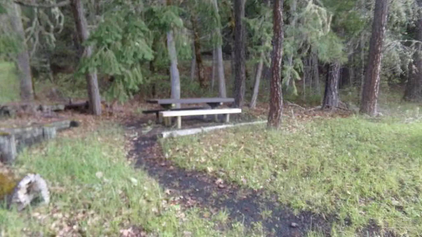
Oakridge Green Waters Rest Area
0.2 mi away · OR
Middle Fork Ranger District (hwy 58)
4.2 mi away · OR
Salmon Creek Falls Campground
4.4 mi away · OR
 Reservable
Packard Creek Campground
4.8 mi away · OR
- Reservable
Packard Creek Day Use Area
4.8 mi away · OR
 Reservable
Black Canyon Campground - Willamette NF
7.3 mi away · OR
Similar length
Similar trails in Oregon
Ramona Falls Trail
Oregon
Lower Macleay Park to Pittock Mansion
Oregon
Tom, Dick and Harry Mountain Trail
Oregon
South Sister Trail
Oregon
Green Lakes
Oregon
Shellburg and Stassel Falls Trail
Oregon