National Forest
Middle Fork Ranger District (hwy 58)
Westfir, OR
Pricing varies — check with the operator
Verify with the local Forest Service ranger district
Forest Service campgrounds vary by district. Fire restrictions, road conditions, and operating dates are set locally and change seasonally. Call the ranger district to confirm.
Pricing
Pricing varies — check with the operator0.0
0 Reviews
Official sources & verification
Managed by US Forest Service
Managing agency
- US Forest Service
Find offices, alerts, and current orders for this agency.
Verify by phone or mail
- Address:Westfir, OR
About
Middle Fork Ranger District (US Highway 58)
Middle Fork Ranger District is the southern part of the forest, bordering the Deschutes and Umpqua National Forests. Accessible from the west on Highway 58 from Eugene, OR, or from the south via Highway 58.
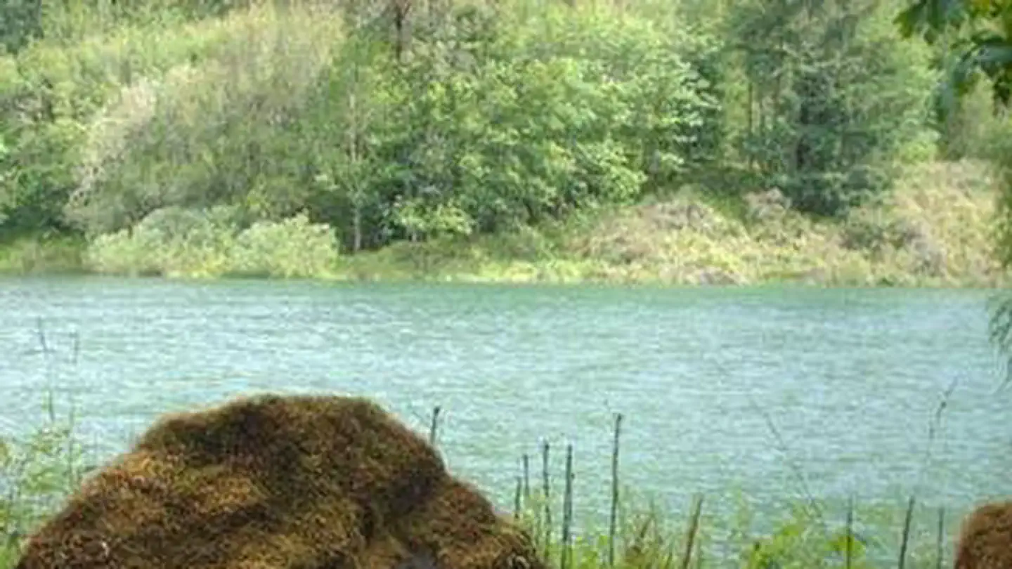
Spend some time exploring Waldo Lake, one of the gems of the forest, but don’t forget to get out on some of the great mountain biking, hiking, and horse trails in this area.
Hiking
Backpacking and day hikes can be found all over the district including, Fall Creek Trail Area, and Hardesty Trail Area. For spectacular mountain scenery, try a hike in the Willamette Pass Trail Area
Other Recreation
The renowned Middle Fork Willamette Trail #3609, Dead Moutain Trail and Alpine Trail are just a few of the more popular mountain biking areas.
One of the gems of the Willamette National Forest is the Waldo Lake Area provides many recreational opportunities including horse camping, non-motorized boating, swimming, hiking and biking.
For those who prefer to travel by horse, the spectacular Diamond Peak Trail Area offers multiple trails For those that enjoy travel of the motorized type, OHV enthusiasts can enjoy the Huckleberry Flats OHV Trail.
Reviews
No reviews yet
Be the first to share your experience and help others plan their visit.
Pet Policy
No pets allowed
Campground Rules
- No campfires allowed
Within ~30 miles
Trails near Middle Fork Ranger District (hwy 58)
Trail
Deception Butte Trail
Oregon
7.8 mi3,442 ftgain
Difficult
Trail
North Fork Middle Fork Willamette River Trail
Oregon
9.9 mi2,047 ftgain
Difficult
Trail
Salmon Creek and Dead Mountain Loop
Oregon
19.1 mi5,023 ftgain
Expert
Trail
Cloverpatch Trail
Oregon
6.1 mi2,516 ftgain
Difficult
Trail
Larison Rock
Oregon
8.6 mi3,320 ftgain
Difficult
Trail
Larison Rock Loop Trail
Oregon
9.9 mi3,186 ftgain
Difficult
Hunt context
Hunting units around this campground
During hunting seasons, wear blaze orange and check regulations — see the Oregon hunting page
Nearby Campgrounds

Spot an error in our data on Middle Fork Ranger District (hwy 58)?