Status unknown — verify before visiting

We don't have current condition data for this trail. Check with the land manager before you go.

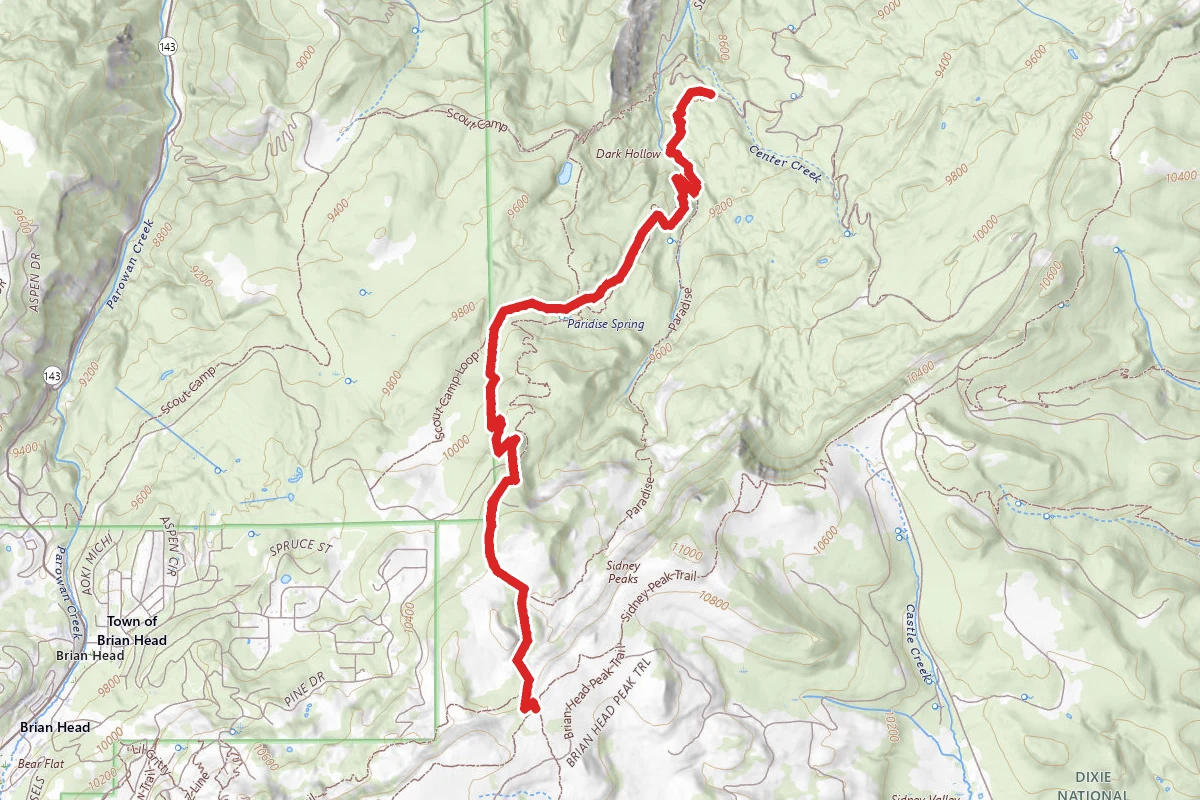
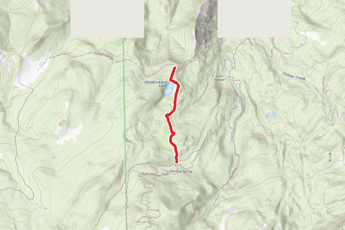
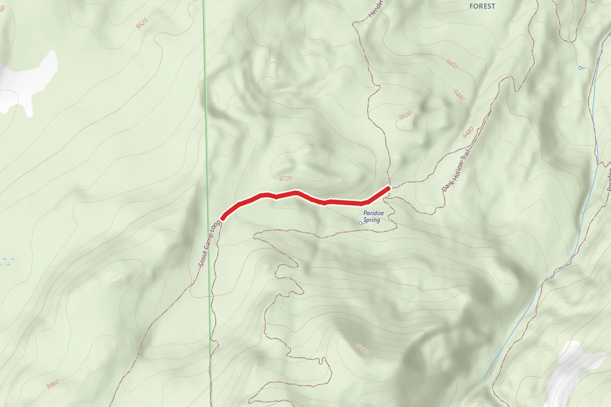
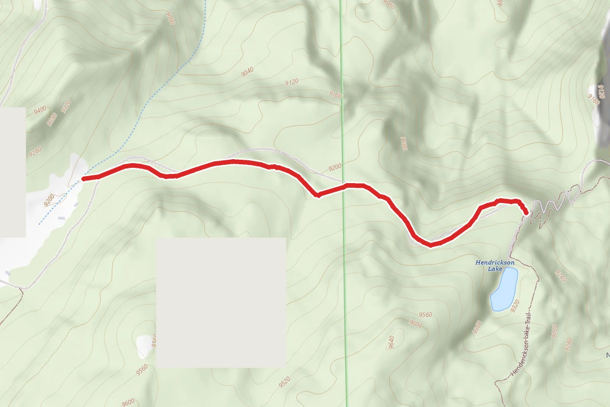
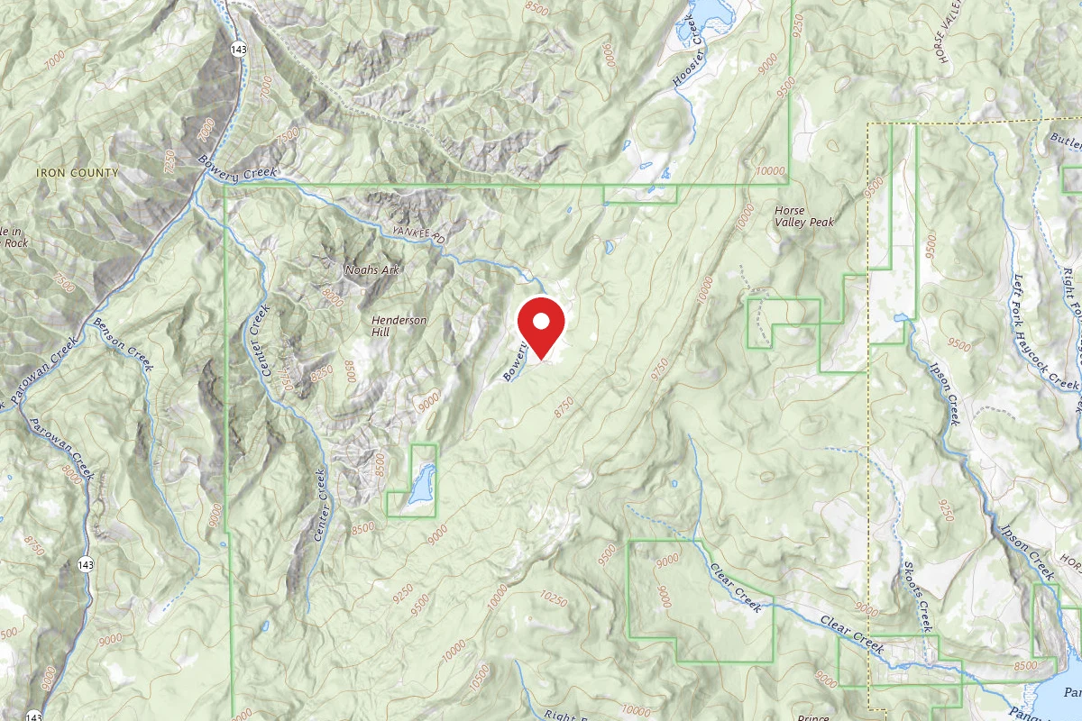
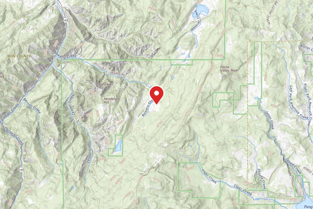
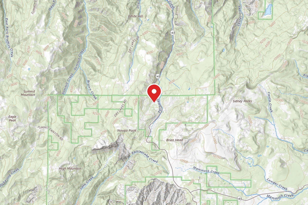
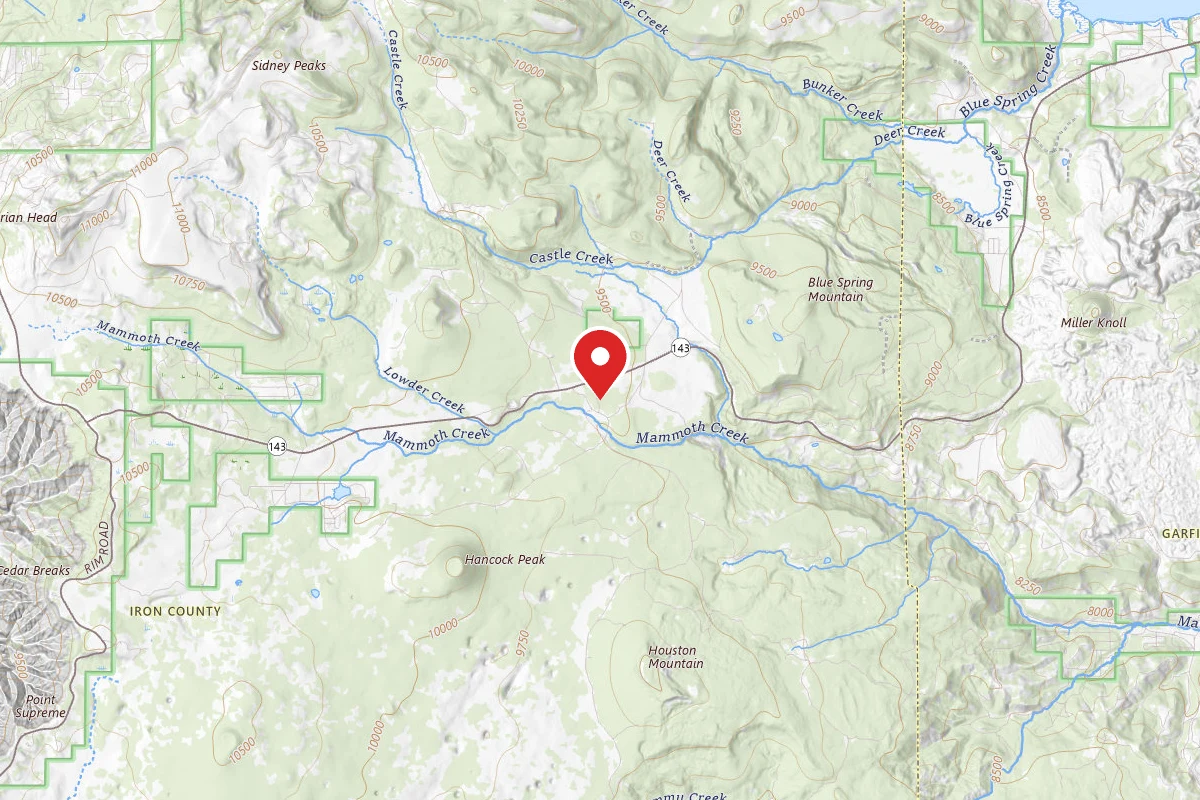
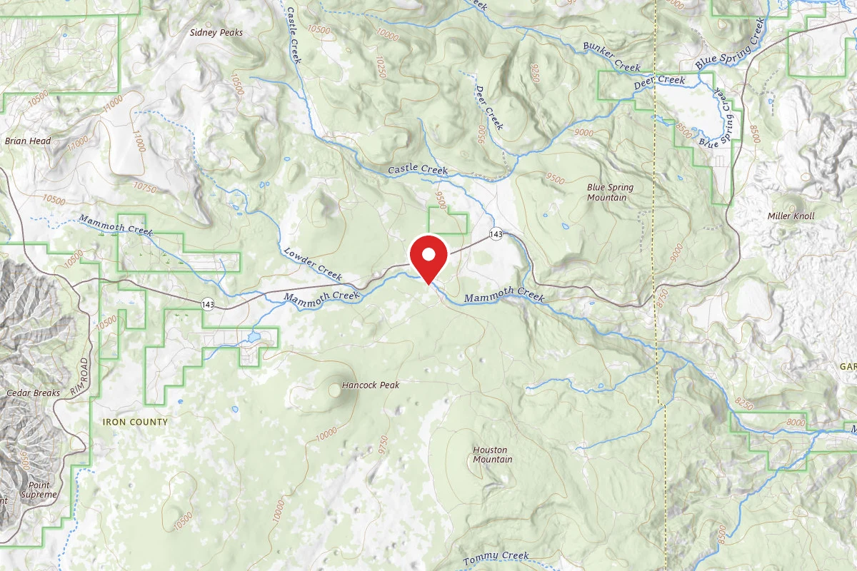
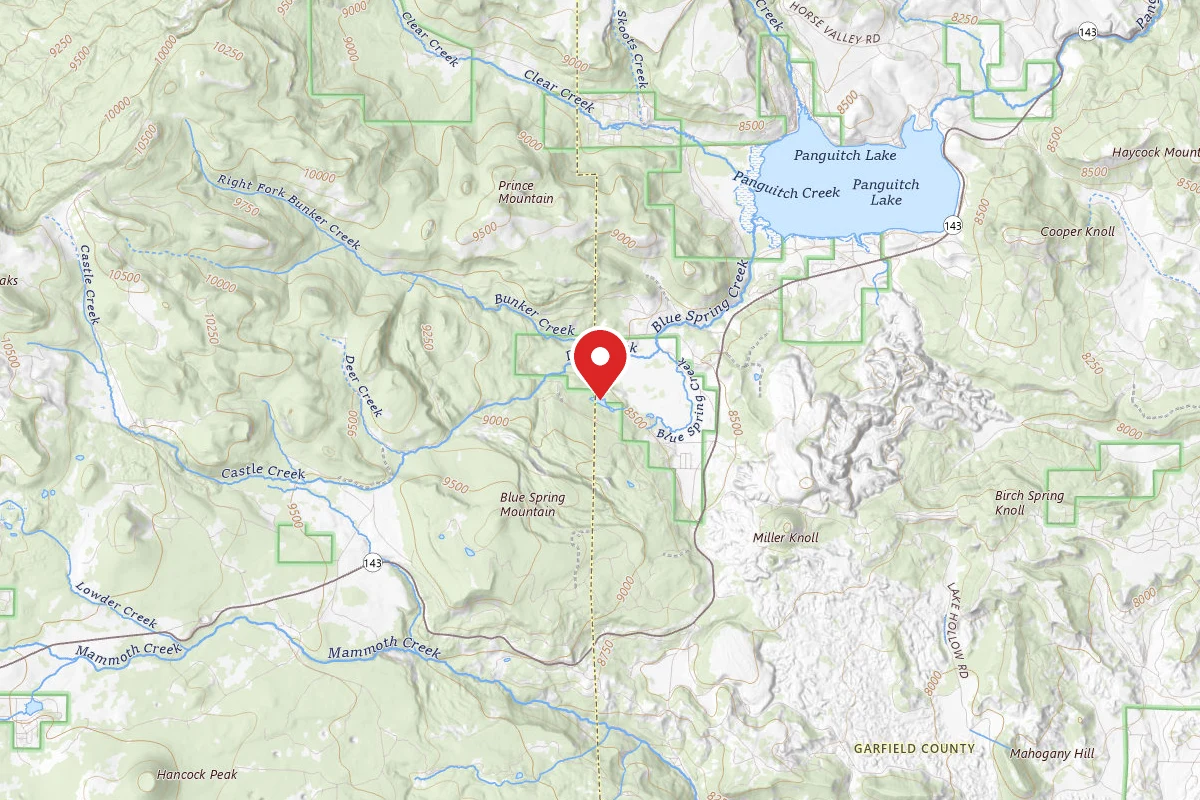
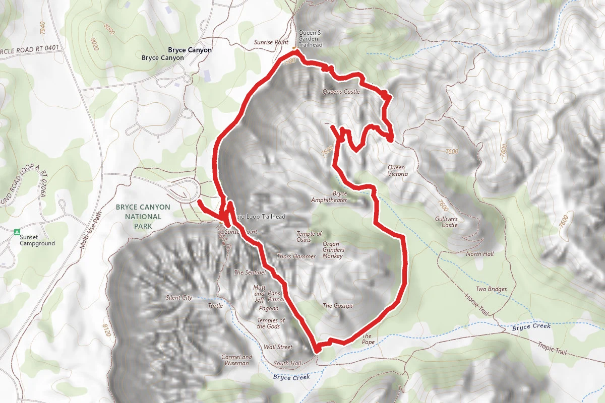
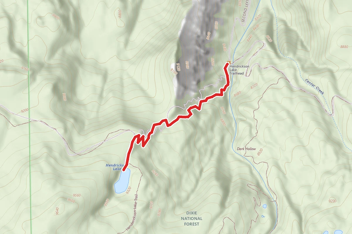
Hendrickson Lake Trail route map
DifficultOut and Back

Hendrickson Lake Trail

Parowan, Utah

1.8 mi

Distance

896 ft

Elev. Gain

1h 1m

Est. Time

Out & Back

Route Type

Difficult

Difficulty

About This Trail

Imported description
A beautiful hike, but the beginning is very difficult to navigate due to the fire and plant regrowth. Definitely strenuous for such a short hike and worth it at the top. Would recommend hiking poles for those backpacking and those with bad knees. The growth has come back in full force, and it's now green with new aspen trees and other plants. It has overgrown the trail extremely bad. There are still burnt trees, but the area looks somewhat better. The views of the red rock and alpine trees are wonderful and there’s a small open field once you reach the top. The hike starts off relatively steep and there’s a lot of fallen trees and rocks you have to step over. There are cairns scattered along the way to help you navigate the unseen path, but most have been overgrown and are hard if not impossible to find. Start by going up and slightly to the left, then taking a few switchbacks across the small (not the big one furthest to the left) stream. After a few of those, you’ll want to stick to the RIGHT of the stream and you’ll then run into the path which will remain easily followed and well marked until the top. Do not follow up the left of the stream unless you want to do a lot of bushwhacking (our mistake). Use the uploaded map to go side hill to the right of where the trail used to be as the original area is too overgrown and thick. There’s a few fire pits built around the lake and lots of places to hammock and set up camp if backpacking. The area around the lake has overgrown as well, there isn't much in the way of camping anymore.

Trail Conditions

Trail Conditions

Unknown

We have no current condition data for this trail. Check with the operator before you go, and submit a report below if you've been recently.

No recent condition reports. Be the first to share what you see on the trail.

Elevation Profile

Min:2,619 ft
Max:2,855 ft
273 ft
273 ft
2,619 ft2,698 ft2,776 ft2,855 ft0.0 mi0.4 mi0.9 mi1.3 mi1.8 mi

Trail Details

Route Type
Out & Back
Surface
Dirt

Official sources & verification

We don't have curated agency sources for this trail in our cache yet. Outdoors is not the permitting authority — confirm conditions, permits, and access with the managing agency before you go. If you know who manages this trail, please tell us.

Reviews

No reviews yet

Be the first to share your experience and help others plan their visit.

Legacy import — verify before navigating

Path geometry came from our pre-launch legacy database. Routes have not yet been re-verified against the operator and may differ from the actual trail.

Hunt context

This trail crosses hunting units

During hunting seasons, wear blaze orange and check regulations — see the Utah hunting page

Spot an error in our data on Hendrickson Lake Trail?