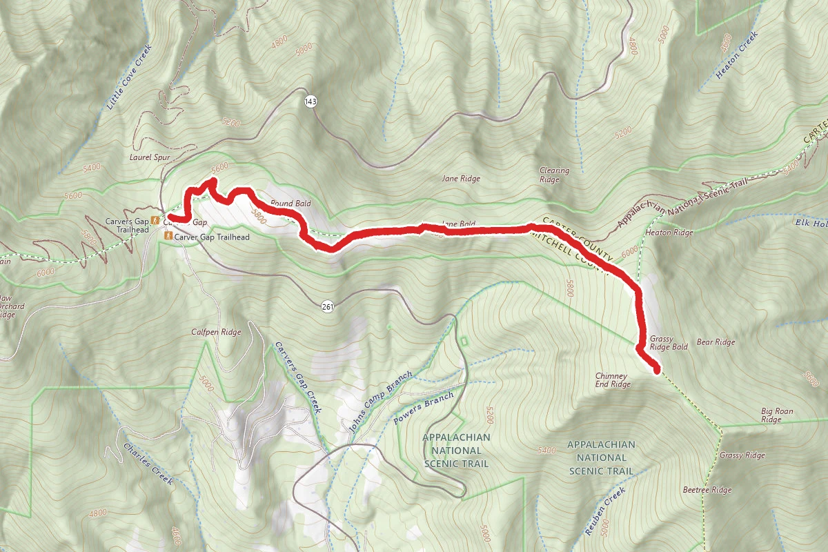
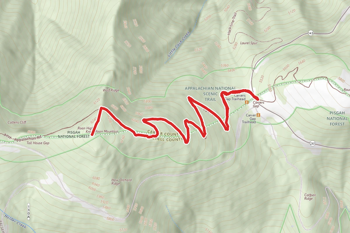
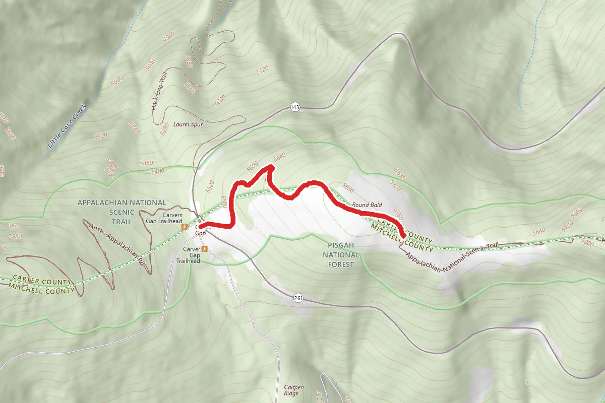
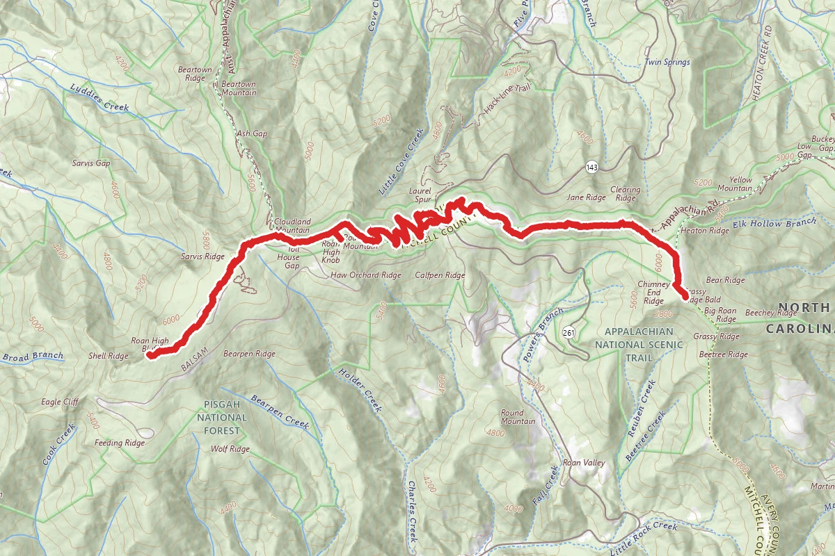
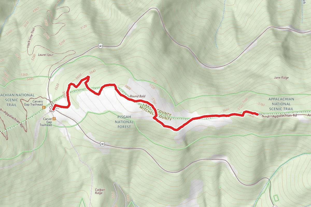
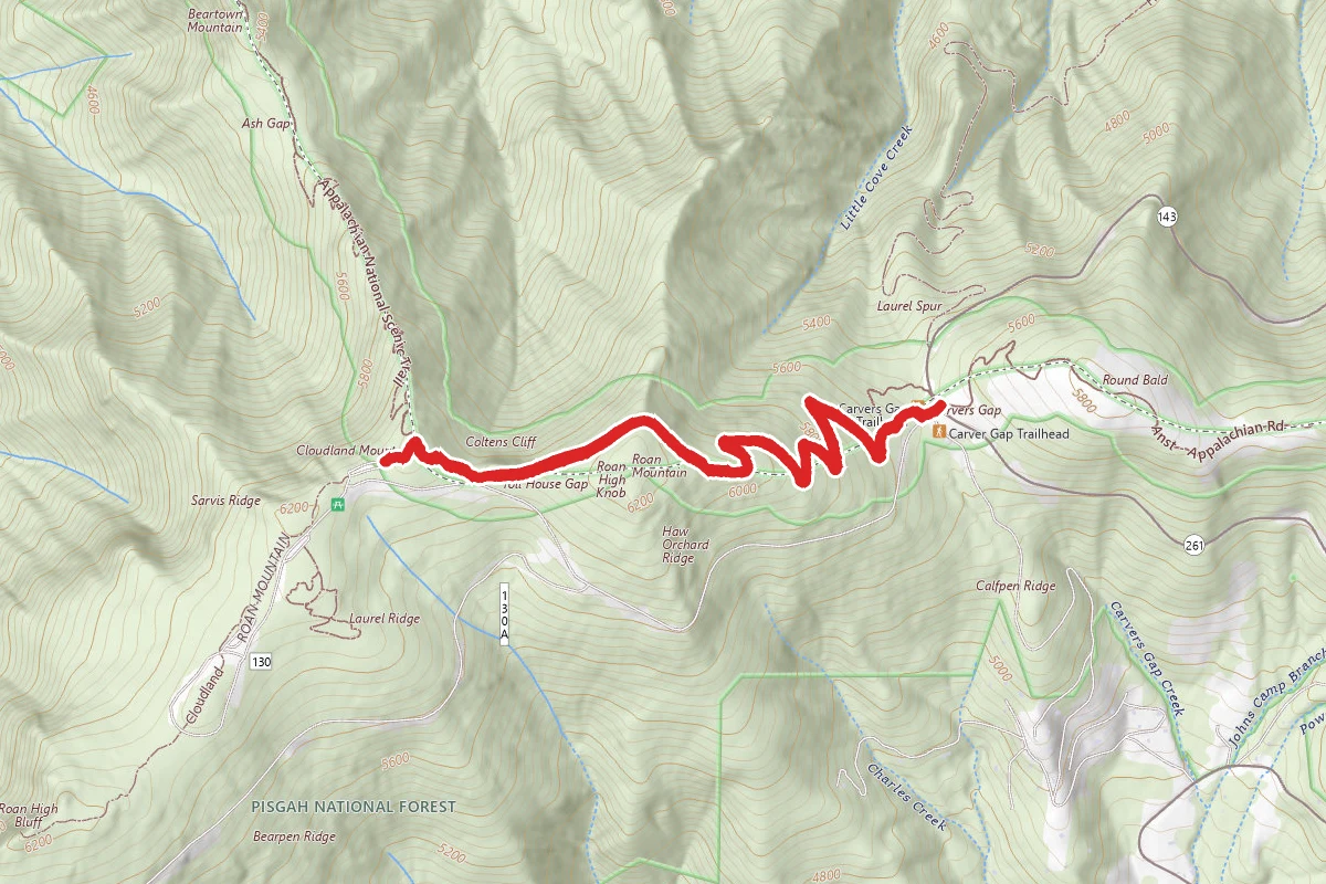
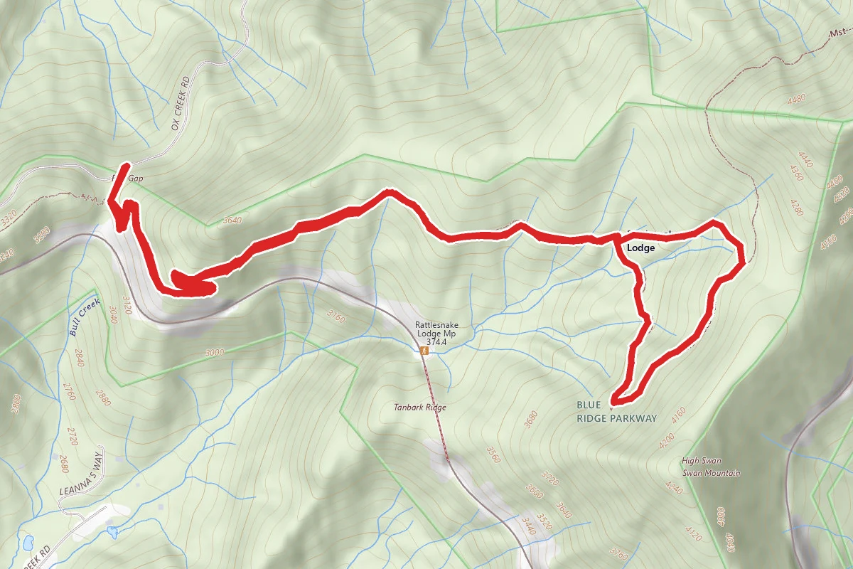
Grassy Ridge, along the eastern flank of Roan Mountain, is the longest stretch of grassy bald in the Appalachian Mountains, and is an easy hiking destination starting from Carvers Gap. The Roan Highlands are traversed by the Appalachian Trail. Roan Highlands is a 20-mile massif stretching from Big Rock Creek in the west, to U.S. Route 19 in the east. Most of the massif lies along the Tennessee-North Carolina border. Roan Mountain itself contains five mountain peaks, and is divided into two sections by Carvers Gap. To the west of the Gap are Roan High Bluff and Roan High Knob, with Tollhouse Gap and Rhododendron Gardens lying between the two peaks. To the east of Carvers Gap is the section of Roan Mountain known as Grassy Ridge, which includes the three peaks: Round Bald, Jane Bald, and Grassy Ridge Bald. The bald area, spanning roughly 7 miles and covering an area roughly equal to 1000 acres, includes the summits of all three peaks. The Hike to Grassy Ridge Bald: The trail begins with a series of wooden steps leading up to the summit of Round Bald. Due to the awesome views and the short distance (roughly 0.7 miles), this first summit can be quite crowded at times. The farther you walk, however, the less crowded it becomes. Continuing northbound along the Appalachian Trail for another 0.7 miles (technically walking eastward) you reach Jane Bald. In between Round and Jane you lose and regain about 200 feet before reaching the 5807-foot summit of Jane Bald. Partially overgrown by rhododendron, the bald area atop Jane is much smaller than its two neighbors. Local legend has it that the peak received its name after a woman named "Jane" died of milk sickness while crossing the mountain. Milk sickness is poisoning by milk from cows that have eaten white snakeroot. Coming off Jane Bald you descend about 100 feet before beginning the final climb of almost 500 feet to the summit of Grassy Ridge Bald. At roughly 1.9 miles the Appalachian Trail takes a turn towards the left. At this junction you'll see a side trail that continues straight ahead. This will take you to the summit of Grassy Ridge Bald - the trail cuts through rhododendron thickets. After a relatively stiff climb you reach the huge grassy meadows atop the peak. The panoramic views from the summit area are spectacular, giving you a feeling of the Swiss Alps. On a clear day you can see Grandfather, Beech and Sugar Mountains towards the east, and Mt. Mitchell and the Black Mountains towards the south. Grassy Ridge Bald dominates the center of Grassy Ridge. At an elevation of 6189 feet, it's one of the highest grassy balds in the Appalachian Mountains. Scattered throughout the meadows on the summit, as well as along most of the trail, you'll find beautiful specimens of rhododendron and flame azaleas, as well as many wild flowers along the route, including the rare Gray's Lily that is indigenous to the area. Many people say that this stretch of trail is the most beautiful section along the entire length of the Appalachian Trail. Roan Mountain State Park encompasses 2,006 acres of southern Appalachian forest at the base of 6,285 foot Roan Mountain. Park elevation ranges from 3,000 feet in the valley to around 3,700 feet on surrounding ridges. The park is located on Highway 143 southeast of Johnson City, TN.
Trail Conditions
Trail Conditions
Unknown
We have no current condition data for this trail. Check with the operator before you go, and submit a report below if you've been recently.
No recent condition reports. Be the first to share what you see on the trail.
We don't have curated agency sources for this trail in our cache yet. Outdoors is not the permitting authority — confirm conditions, permits, and access with the managing agency before you go. If you know who manages this trail, please tell us.
Reviews
No reviews yet
Be the first to share your experience and help others plan their visit.
Legacy import — verify before navigating
Path geometry came from our pre-launch legacy database. Routes have not yet been re-verified against the operator and may differ from the actual trail.