Status unknown — verify before visiting
We don't have current condition data for this trail. Check with the land manager before you go.
8.7 mi
Distance
4,104 ft
Elev. Gain
4h 40m
Est. Time
Out & Back
Route Type
Expert
Difficulty
About This Trail
Imported descriptionTrail Conditions
Trail Conditions
We have no current condition data for this trail. Check with the operator before you go, and submit a report below if you've been recently.
No recent condition reports. Be the first to share what you see on the trail.
Elevation Profile
Trail Details
- Route Type
- Out & Back
- Surface
- Dirt
Official sources & verification
We don't have curated agency sources for this trail in our cache yet. Outdoors is not the permitting authority — confirm conditions, permits, and access with the managing agency before you go. If you know who manages this trail, please tell us.
Reviews
No reviews yet
Be the first to share your experience and help others plan their visit.
Legacy import — verify before navigating
Path geometry came from our pre-launch legacy database. Routes have not yet been re-verified against the operator and may differ from the actual trail.
Hunt context
This trail crosses hunting units
During hunting seasons, wear blaze orange and check regulations — see the Oregon hunting page

Stay nearby
Campgrounds near this trail
Hampton Boat Launch
1.4 mi away · OR
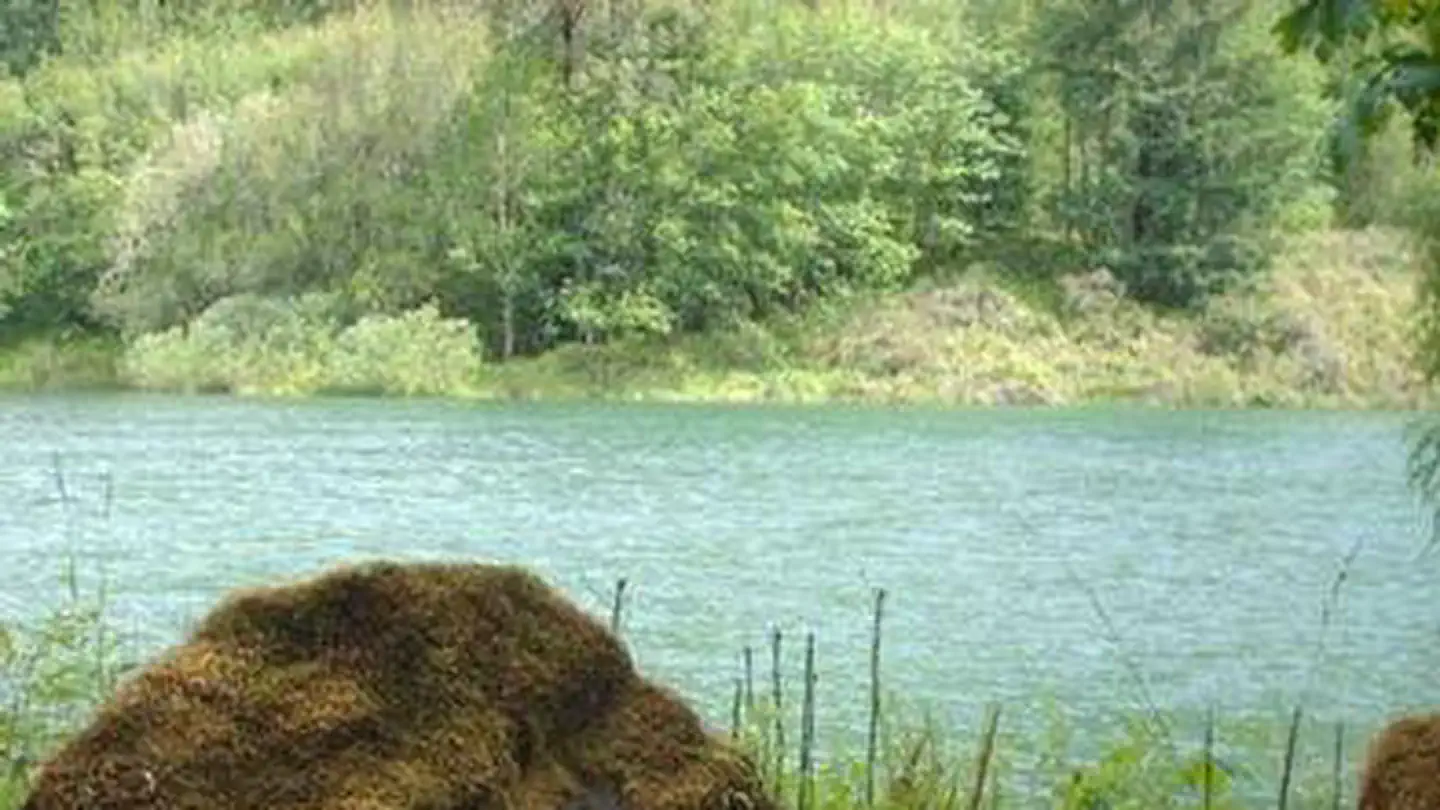 Reservable
Black Canyon Campground - Willamette NF
3.1 mi away · OR
Willamette National Forest Winberry Campground
5.3 mi away · OR
Middle Fork Ranger District (hwy 58)
6.3 mi away · OR
 Reservable
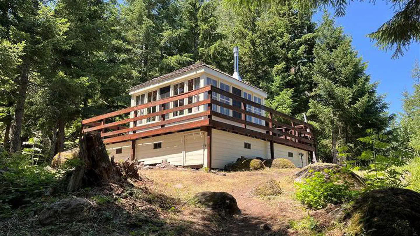
Timber Butte Cabin
7.4 mi away · OR
 Reservable
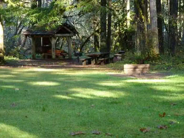
Rujada Day Use Picnic Area
8.9 mi away · OR
Similar length
Similar trails in Oregon
Ramona Falls Trail
Oregon
Lower Macleay Park to Pittock Mansion
Oregon
Tom, Dick and Harry Mountain Trail
Oregon
South Sister Trail
Oregon
Green Lakes
Oregon
Shellburg and Stassel Falls Trail
Oregon