Use caution — current conditions warrant extra care
The East Rim Trail is partially closed due to a large rockfall per the NPS Zion conditions page, checked 2026-10-15. Check forecasts, dress for the conditions, and turn back if anything feels off.
Status updated 10/15/2026
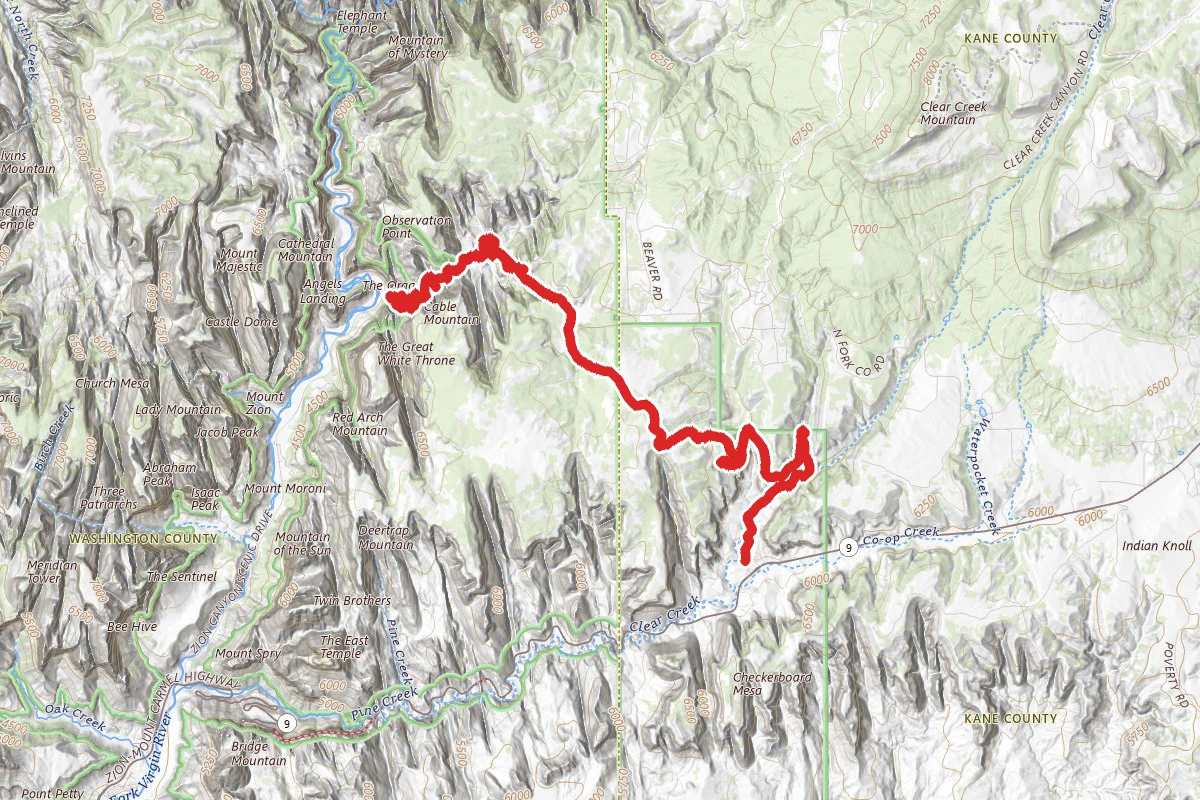
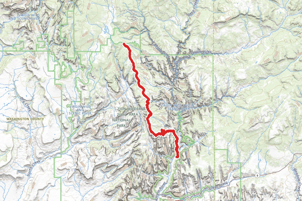
East Rim Trail
16.9 mi
Distance
About This Trail
We don't publish a description for East Rim Trail unless we can point you at the agency it came from. We don't have one yet. The planning figures above — distance, elevation gain, estimated time, route type — come from the source listed on this trail.
National Park Service manages this trail and is the authority for conditions, closures and route notes. See official sources below. Spot something we should add?
Trail Conditions
Trail Conditions
Updated Today
The East Rim Trail is partially closed due to a large rockfall per the NPS Zion conditions page, checked 2026-10-15.
No recent condition reports. Be the first to share what you see on the trail.
Trail Details
Horse access: National Park Service, checked 2026-10-14. Rules change, so confirm with the land manager before you go.
Official sources & verification
Managed by National Park Service
Source of truth
- National Park Service unit page
Alerts, conditions, and the unit's plan-your-visit page.
Where it is
- Nearest town:
- Springdale, UT · about 7 mi away
- County:
- Kane County, UT
- Jurisdiction:
- Zion National Park · National Park Service
Nearest town and county from U.S. Census Bureau place records and county boundaries.
Verify by phone or mail
- Operator:435-772-3256
- Address:Zion National Park, 1 Zion Park Blvd., State Route 9 · Springdale, UT · 84767
Reviews
No reviews yet
Be the first to share your experience and help others plan their visit.
Verified from NPS Public Trails
Nearby Trails
More trails near East Rim Trail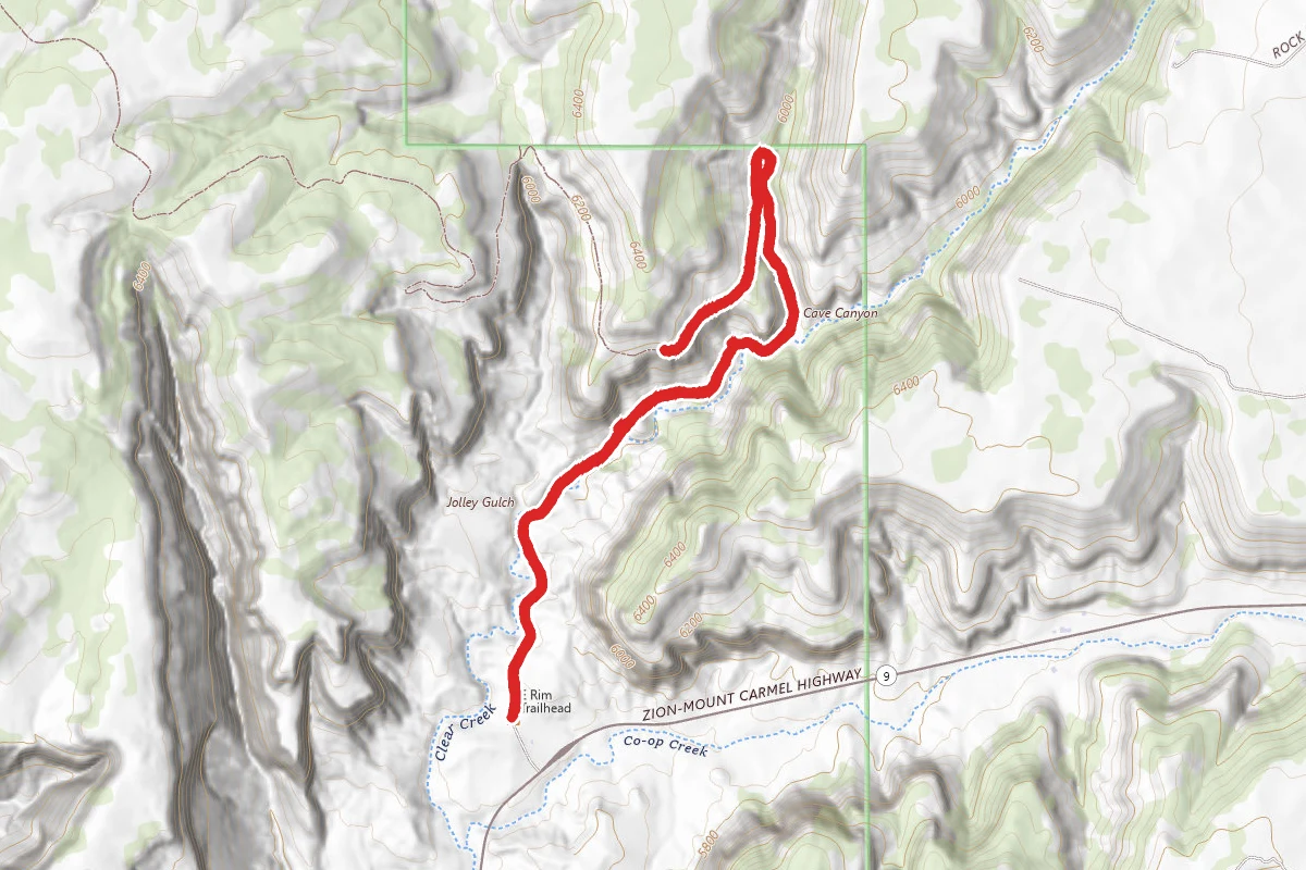
East Rim Trail to Overlook
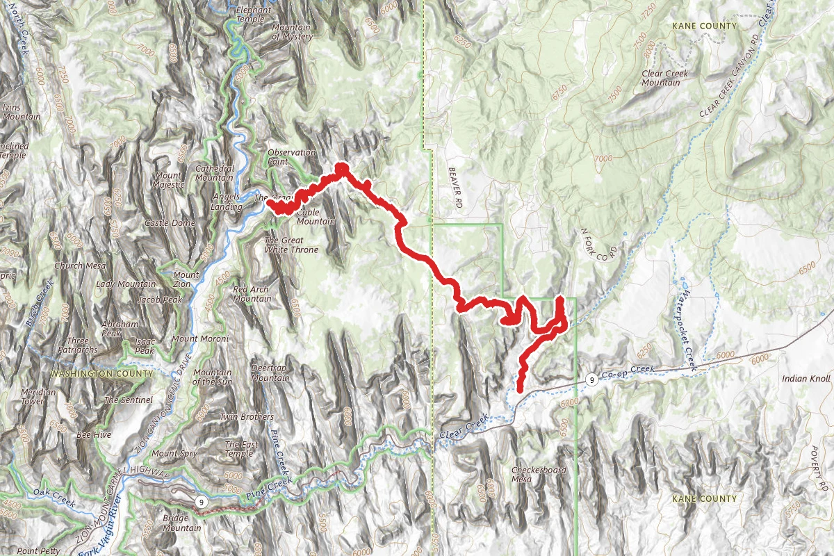
East Rim Trail Southern Trailhead
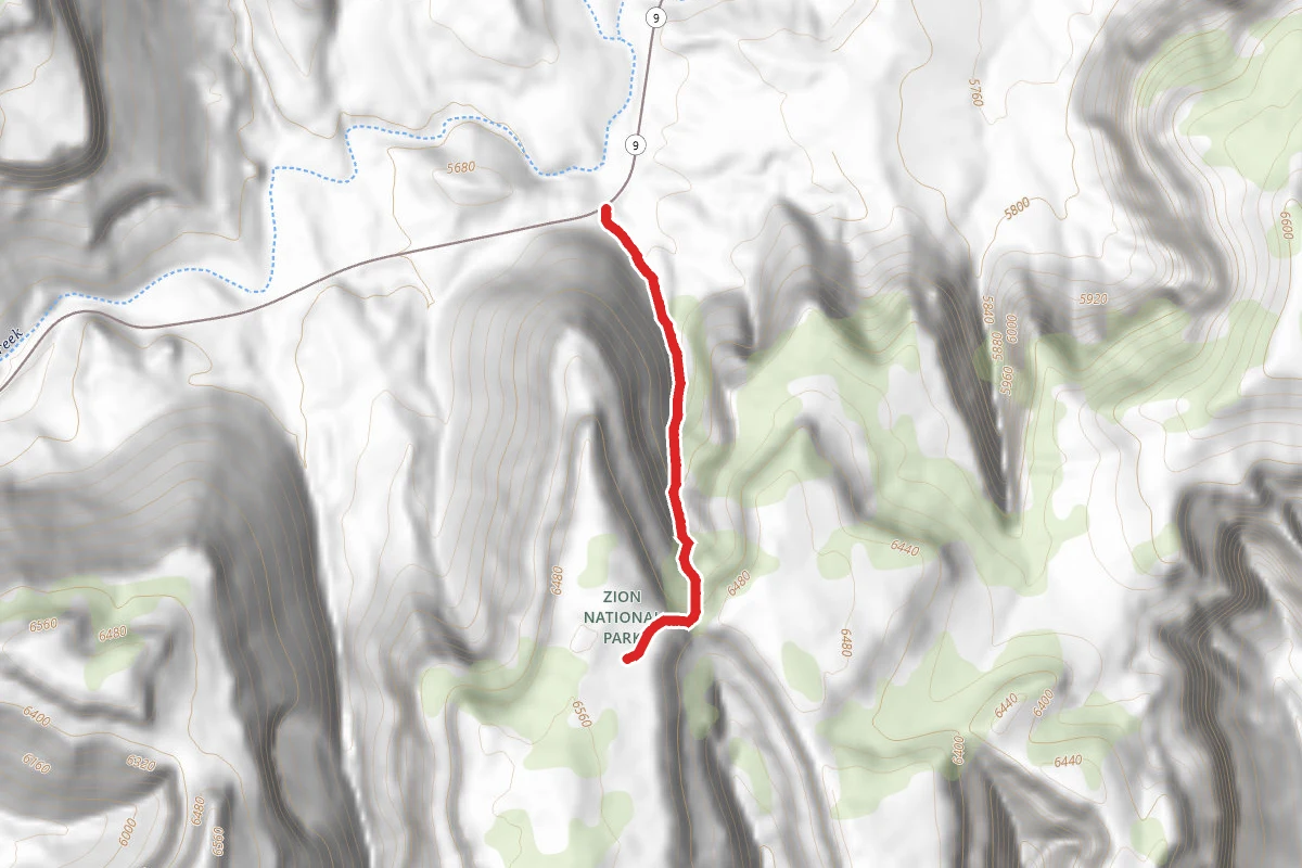
Checkerboard Arch Trail
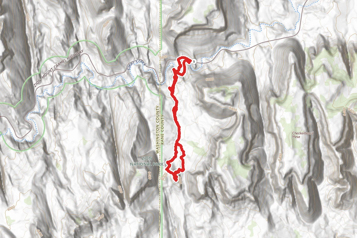
Separation Canyon Trail
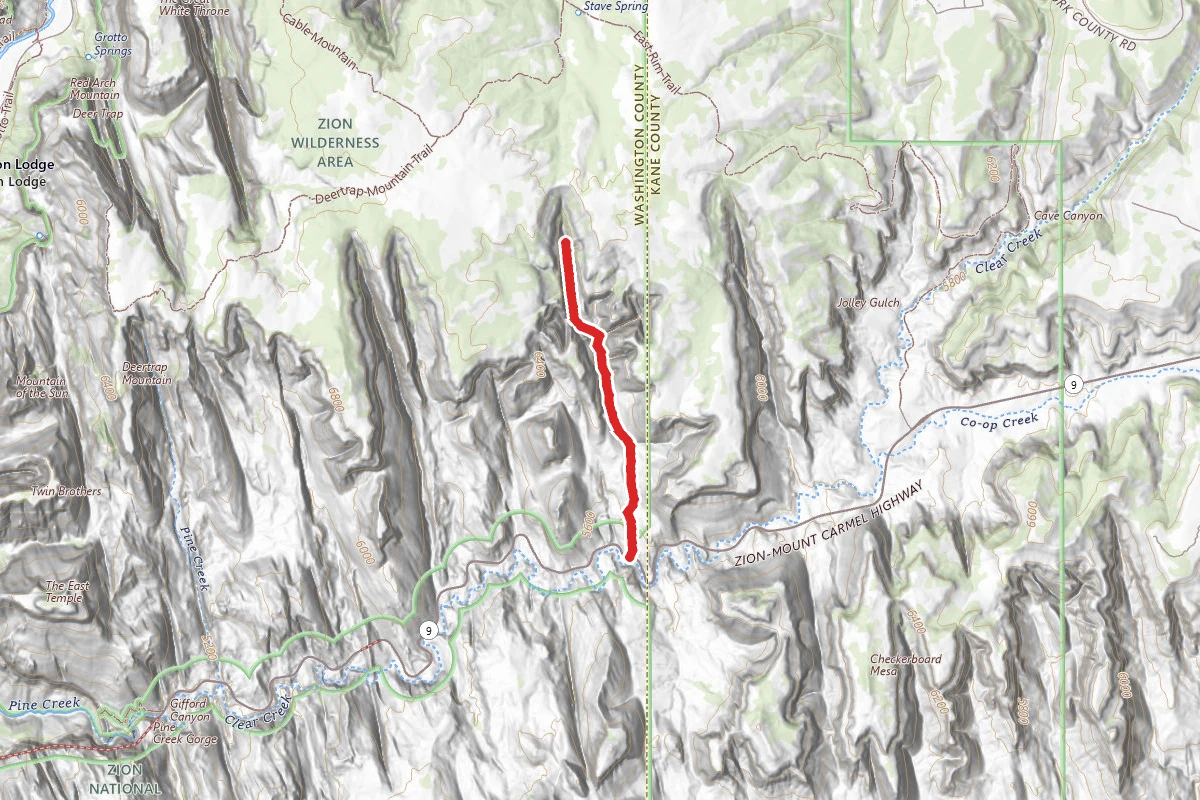
Upper Keyhole Canyon
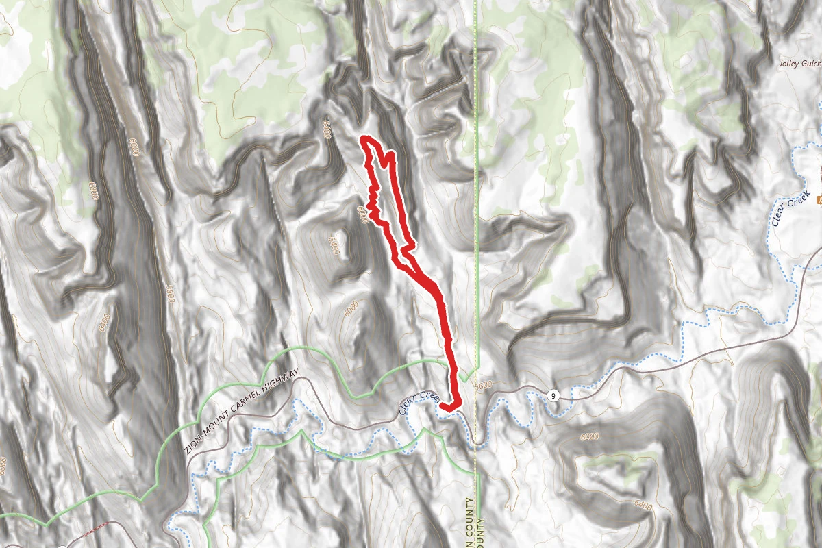
Jug Handle Arch Trail
In this park
Other trails in Zion National Park
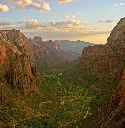
Angels Landing
Utah
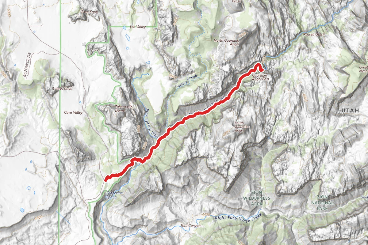
The Narrows (Bottom-Up)
Utah
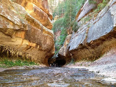
The Subway (Bottom-Up)
Utah
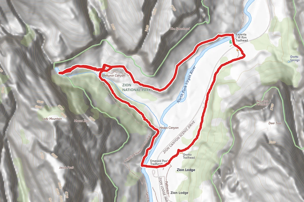
Emerald Pools Trail
Utah
Canyon Overlook Trail
Utah
West Rim Trail (Top-Down)
Utah
Stay nearby
Campgrounds near this trail
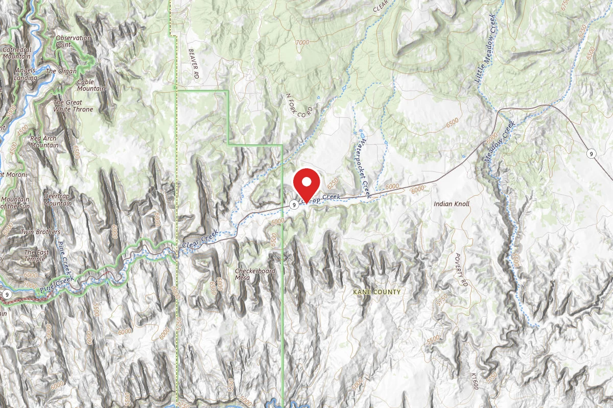 Reservable
Zion RV and Campground (Hi-Road)
1.2 mi away · UT
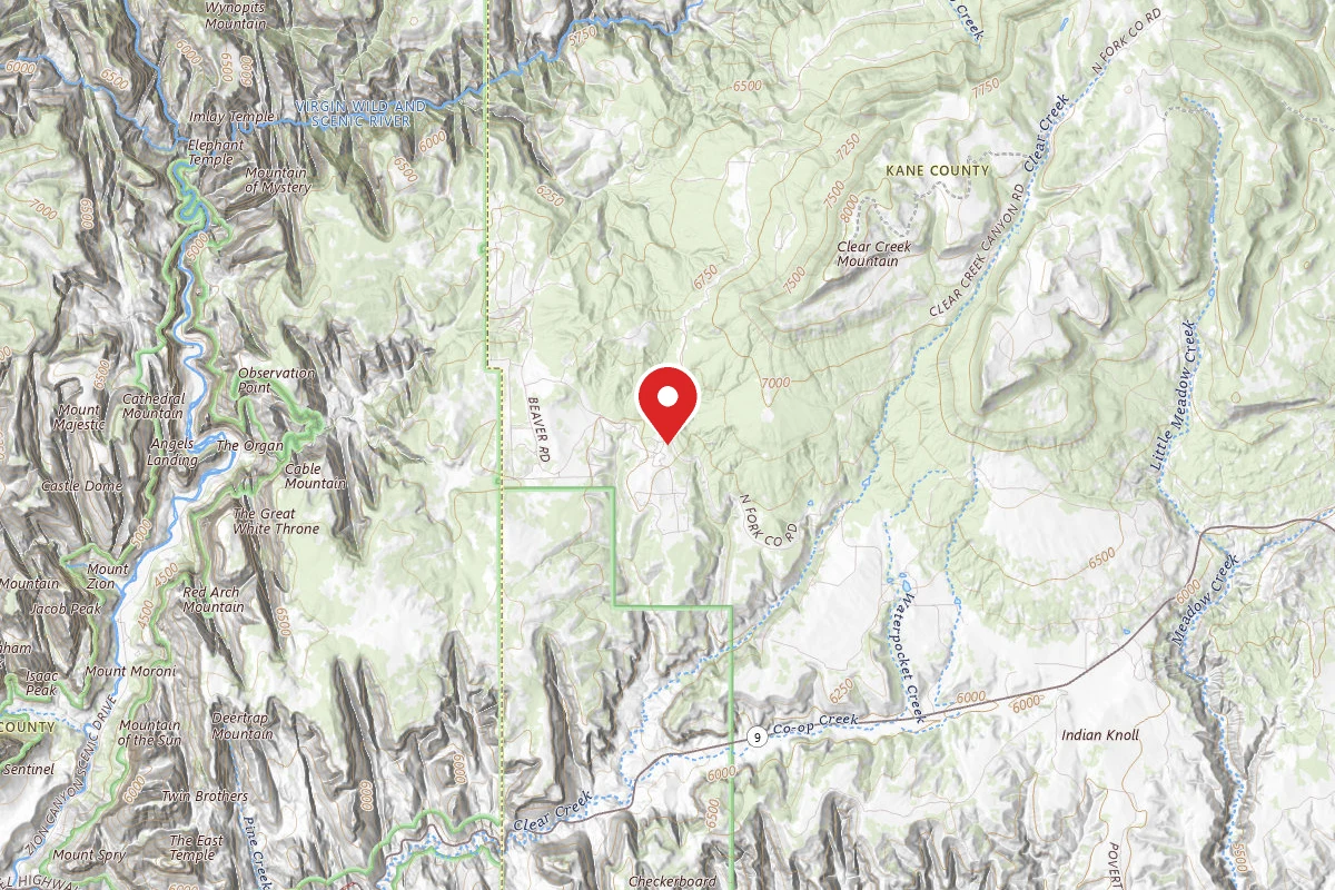 Reservable
Zion Ponderosa Ranch Resort
2.6 mi away · UT
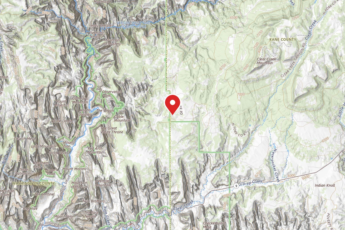 Reservable
Zion A-Frame Cabin
2.7 mi away · UT
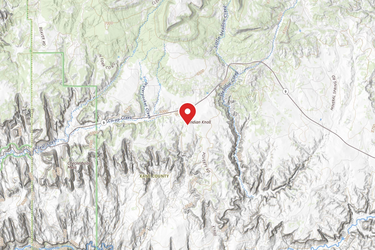
Poverty Flat BLM Road #70 Dispersed Camping Area
3.5 mi away · UT
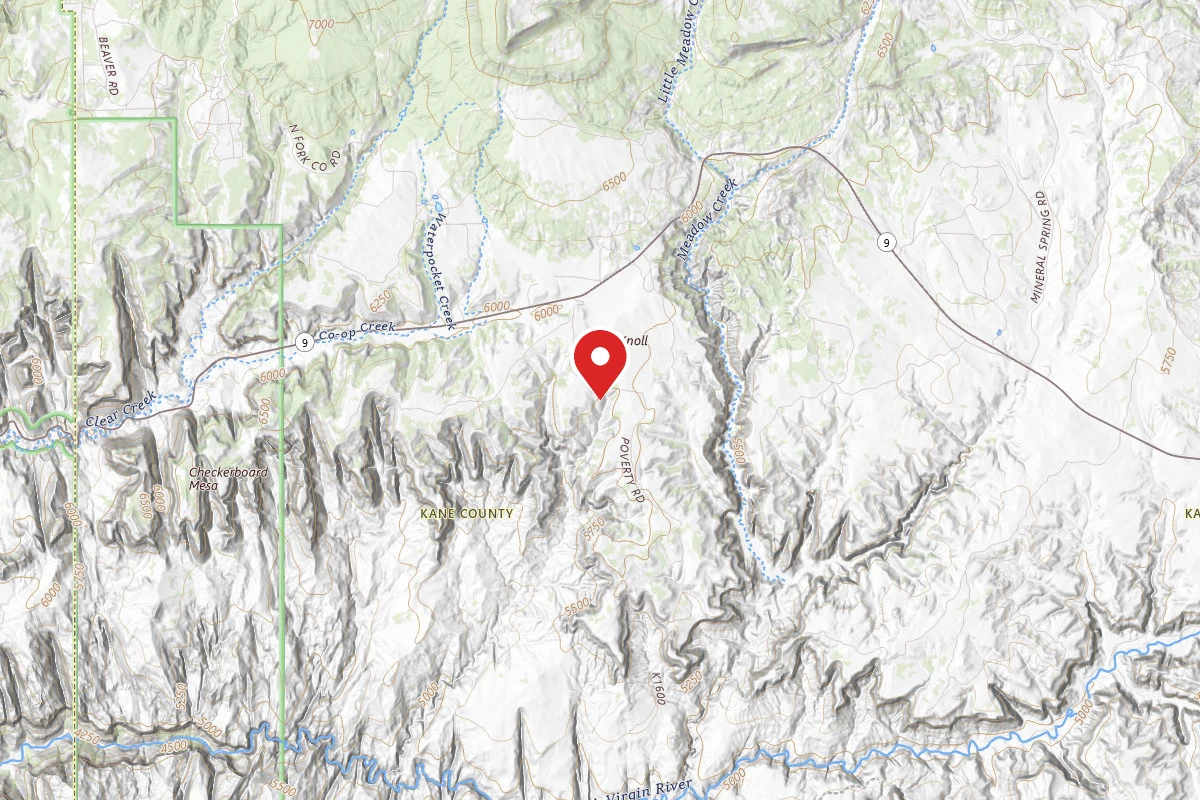
Dispersed Site near 37.2285, -112.8091
3.8 mi away · UT
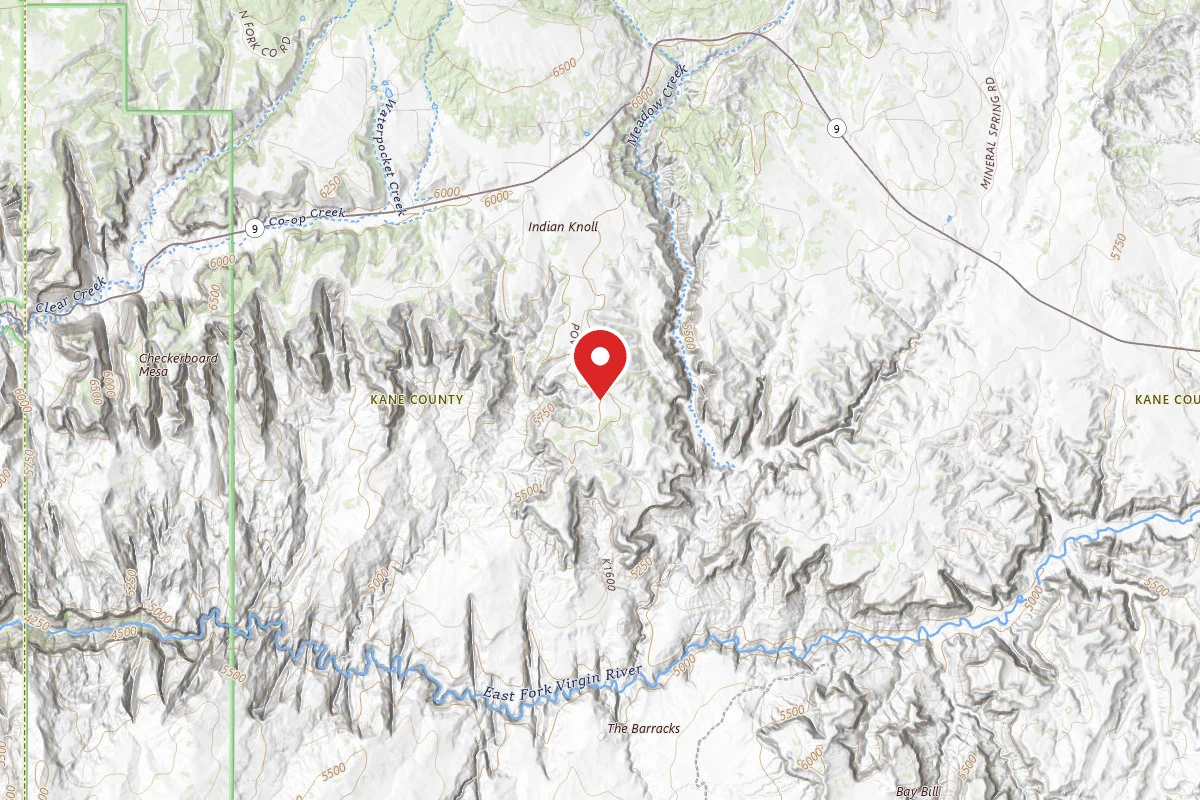
Dispersed Site near 37.2128, -112.8004
4.5 mi away · UT
Similar length
Similar trails in Utah
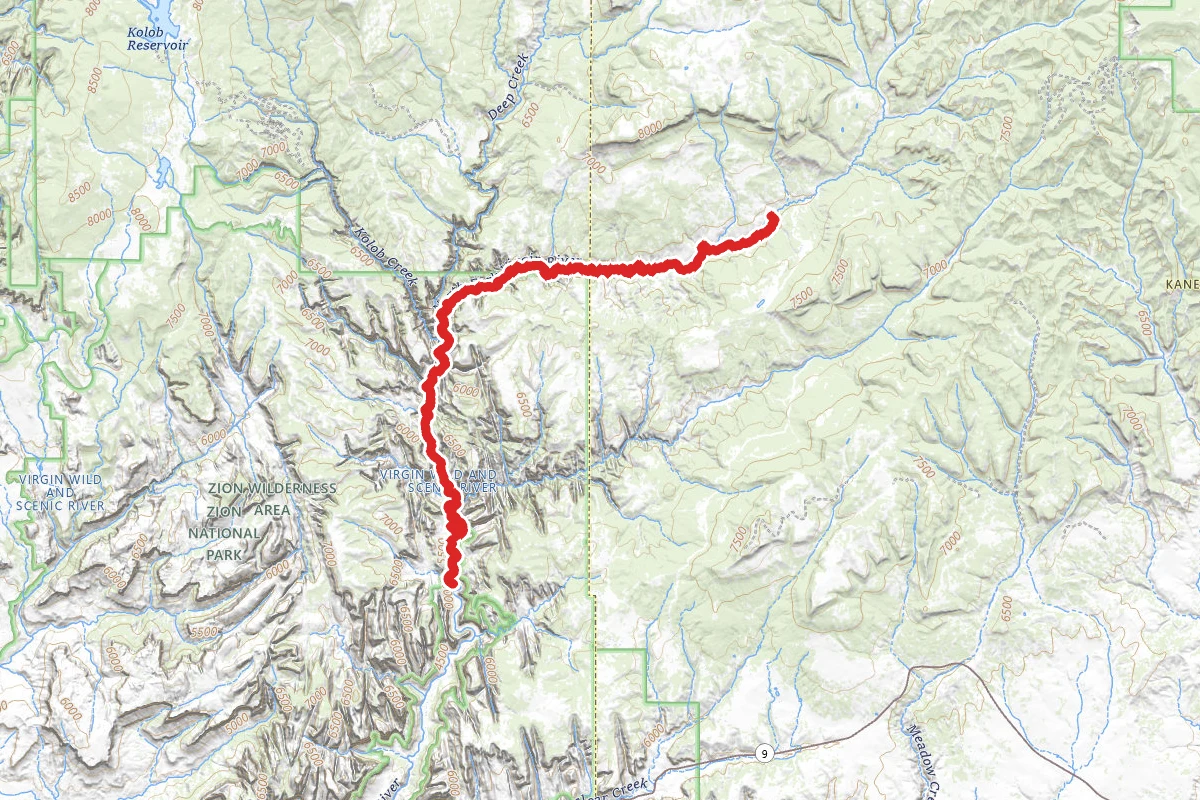
The Narrows (Top Down)
Utah
The Subway (Bottom-Up)
Utah
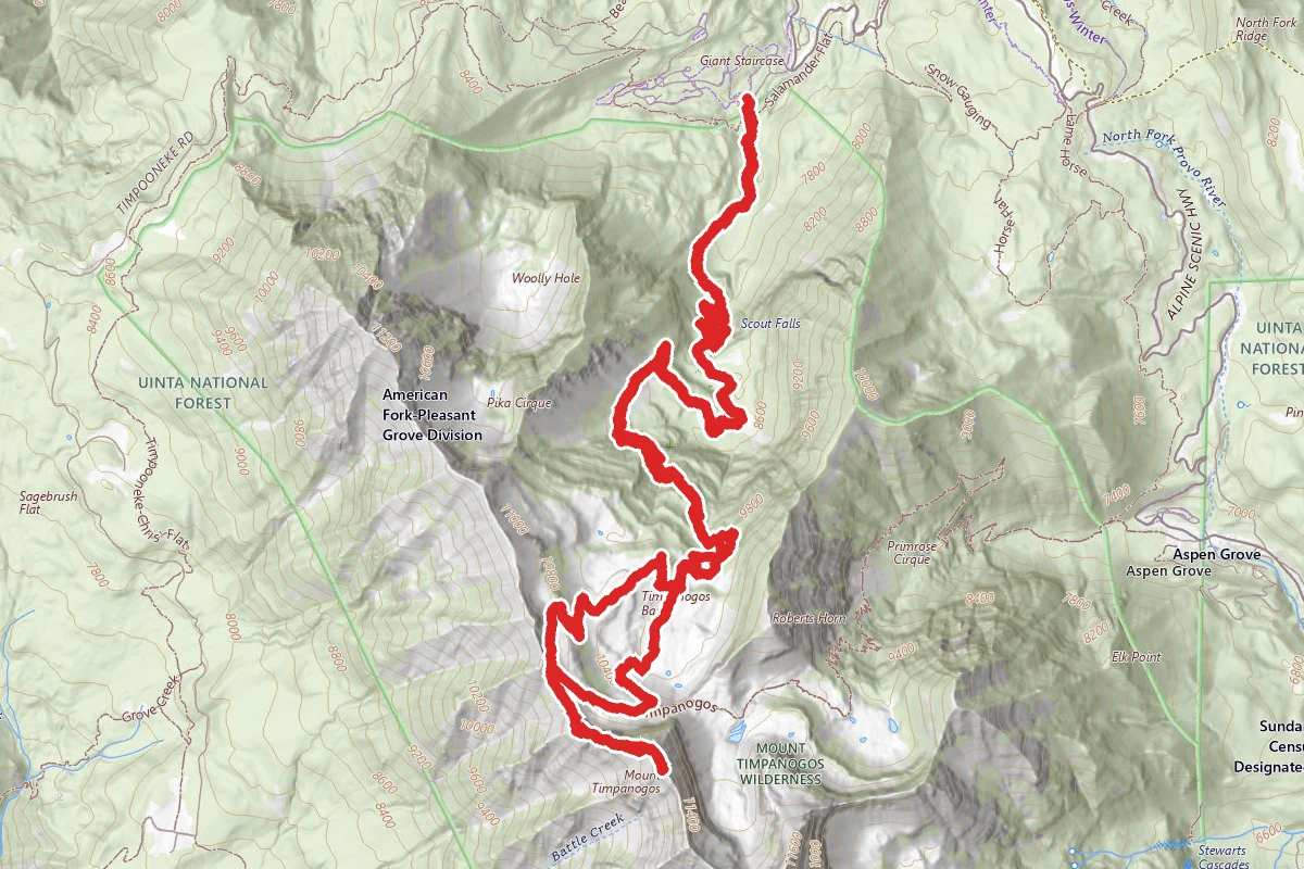
Mount Timpanogos via Timpooneke Trail
Utah
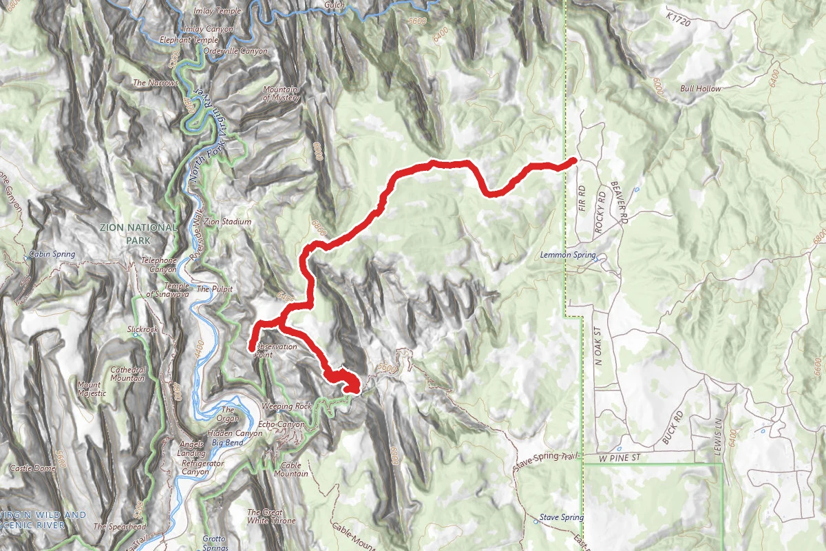
East Mesa Trail and Observation Point
Utah
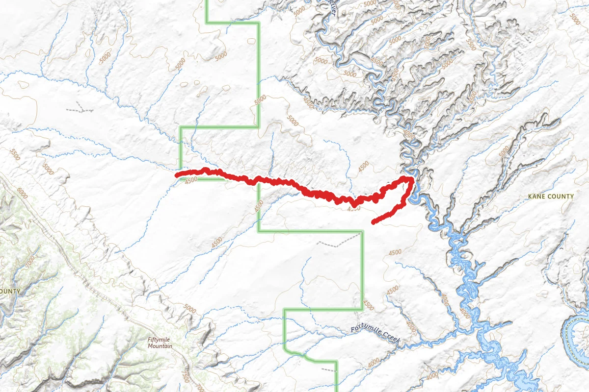
Coyote Gulch Trail
Utah
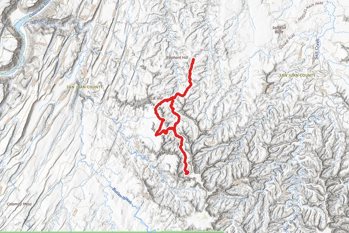
Druid Arch to Chesler Park
Utah