Moderate
Doe Knob to Spence Field via Appalachian Trail [CLOSED]
Townsend, Tennessee
31.2 mi
Distance
8,655 ft
Elev. Gain
14h 9m
Est. Time
0.0
0 Reviews
About This Trail
You will begin your hike in the back of Cades Cove at the Gregory Ridge Trail, and then take the Gregory Bald Trail to reach the Appalachian Trail. The shelter is located 100 yards away from the piped spring and was rebuilt in June of 2003 The AT section of the hike is complete and you can now go to the Bote Mtn Trail. This trail descends swiftly and is a great time to practice your switchbacks. You can take the Anthony Creek Trail for 16 miles to the ranger station and then take a 3.5 mile trail to the campground.
Trail Details
Out & Back
Route Type
Dirt
Surface
Dogs Allowed (Leash Required)
Dog Policy
Yes
Kid Friendly
No
Permit Required
Elevation Profile
Min:607 ft
Max:1,539 ft
2,638 ft
2,638 ft
Reviews
No reviews yet
Be the first to share your experience and help others plan their visit.
Trail Conditions
Trail Conditions
Unknown
Updated Unknown
No recent condition reports. Be the first to share what you see on the trail.
![Doe Knob to Spence Field via Appalachian Trail [CLOSED]](https://www.nps.gov/common/uploads/structured_data/3C873CC3-1DD8-B71B-0B076FC2806DF140.jpg?width=800&quality=80)
Doe Knob to Spence Field via Appalachian Trail [CLOSED]
31.1 km4.0
Moderate
Gregory Ridge Trail to Gregory Bald [CLOSED]
18.7 km
Difficult
Abrams Falls Trail [CLOSED]
7.9 km
Moderate
Cooper Road and Rabbit Creek Loop Trail [CLOSED]
25.1 km
Difficult
Rabbit Creek Trail to Abrams Falls Trail Loop [CLOSED]
17.9 km
Difficult
Abram Falls, Hatcher Mountain, Copper Road and Wet Bottom Loop [CLOSED]
20.8 km
Moderate
In this park
Other trails in Great Smoky Mountains National Park
Alum Cave Trail to Mount LeConte
Tennessee
16.9 km1,374 mgain
Difficult
Laurel Falls Trail [CLOSED]
Tennessee
3.9 km285 mgain
Easy
Chimney Tops Trail [CLOSED]
Tennessee
5.8 km502 mgain
Difficult
Rainbow Falls Trail [CLOSED]
Tennessee
8.9 km730 mgain
Difficult
Grotto Falls Trail [CLOSED]
Tennessee
4.2 km336 mgain
Moderate
Abrams Falls Trail [CLOSED]
Tennessee
7.9 km378 mgain
Moderate
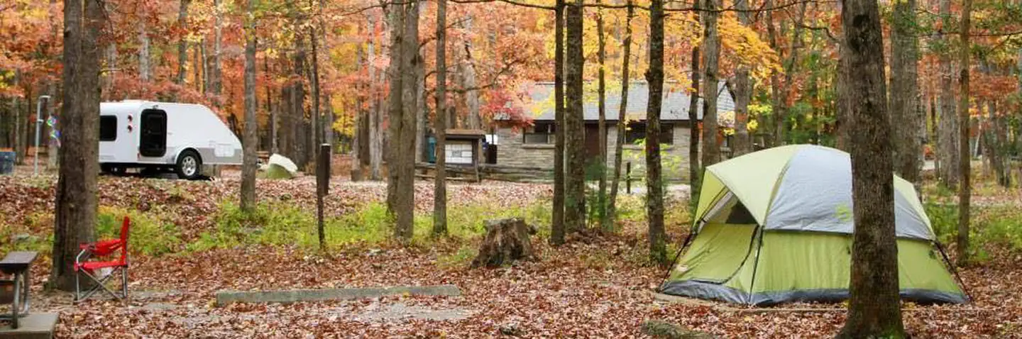
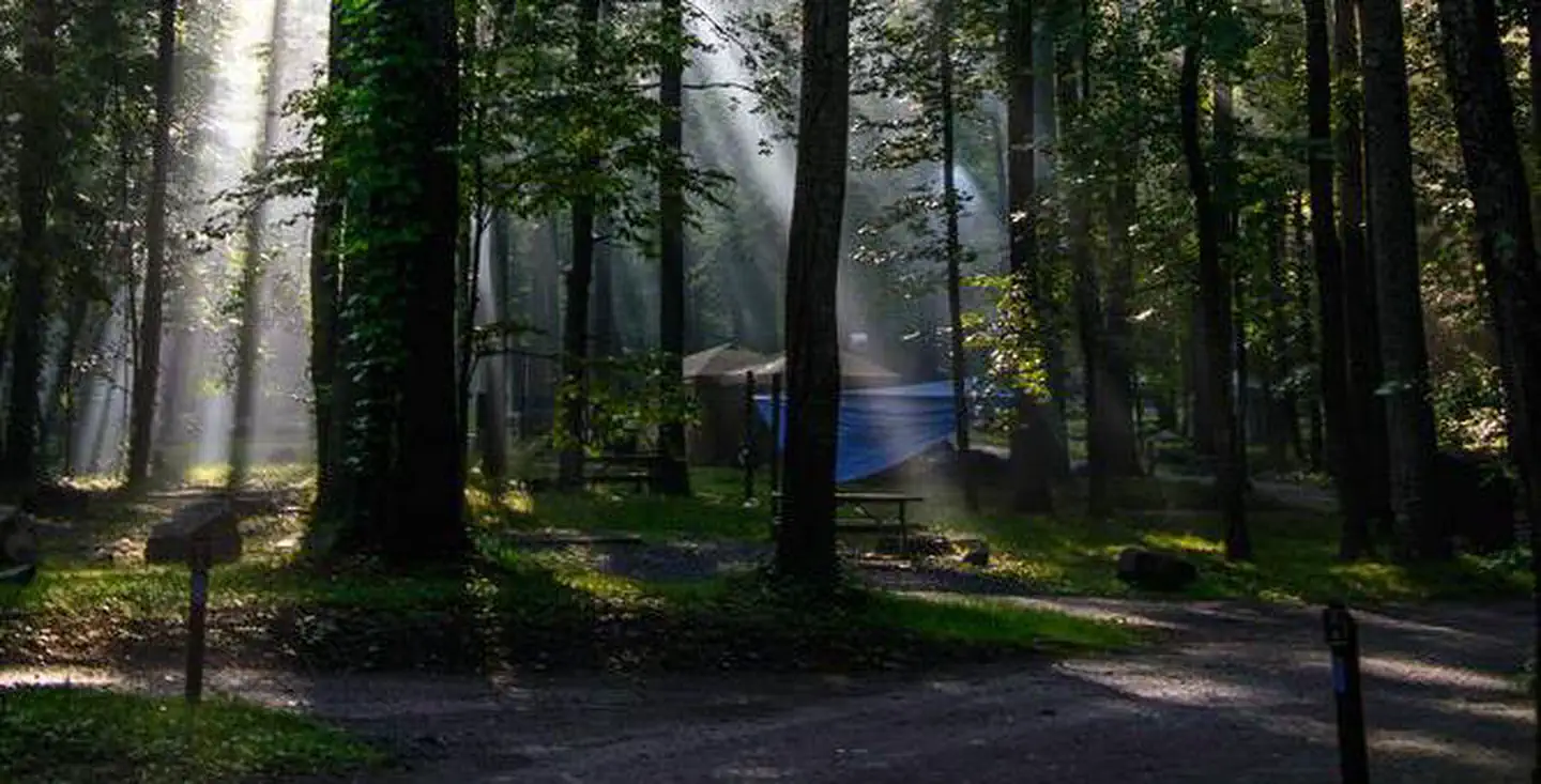
Stay nearby
Campgrounds near this trail


Similar length
Similar trails in Tennessee
Enterprise South Nature Park Loop
Tennessee
27.7 km796 mgain
Moderate
Tweetsie Trail
Tennessee
32.7 km459 mgain
Moderate
North rim and North Plateau Loop Trail
Tennessee
28.2 km1,046 mgain
Moderate
Old Settlers Trail [CLOSED]
Tennessee
26.1 km1,257 mgain
Moderate
Jakes Creek and Lynn Camp Prong [CLOSED]
Tennessee
27.0 km1,438 mgain
Moderate
Mount Cammerer Loop - Low Gap and Lower Cammerer [CLOSED]
Tennessee
26.1 km2,017 mgain
Difficult