Status unknown — verify before visiting

We don't have current condition data for this trail. Check with the land manager before you go.
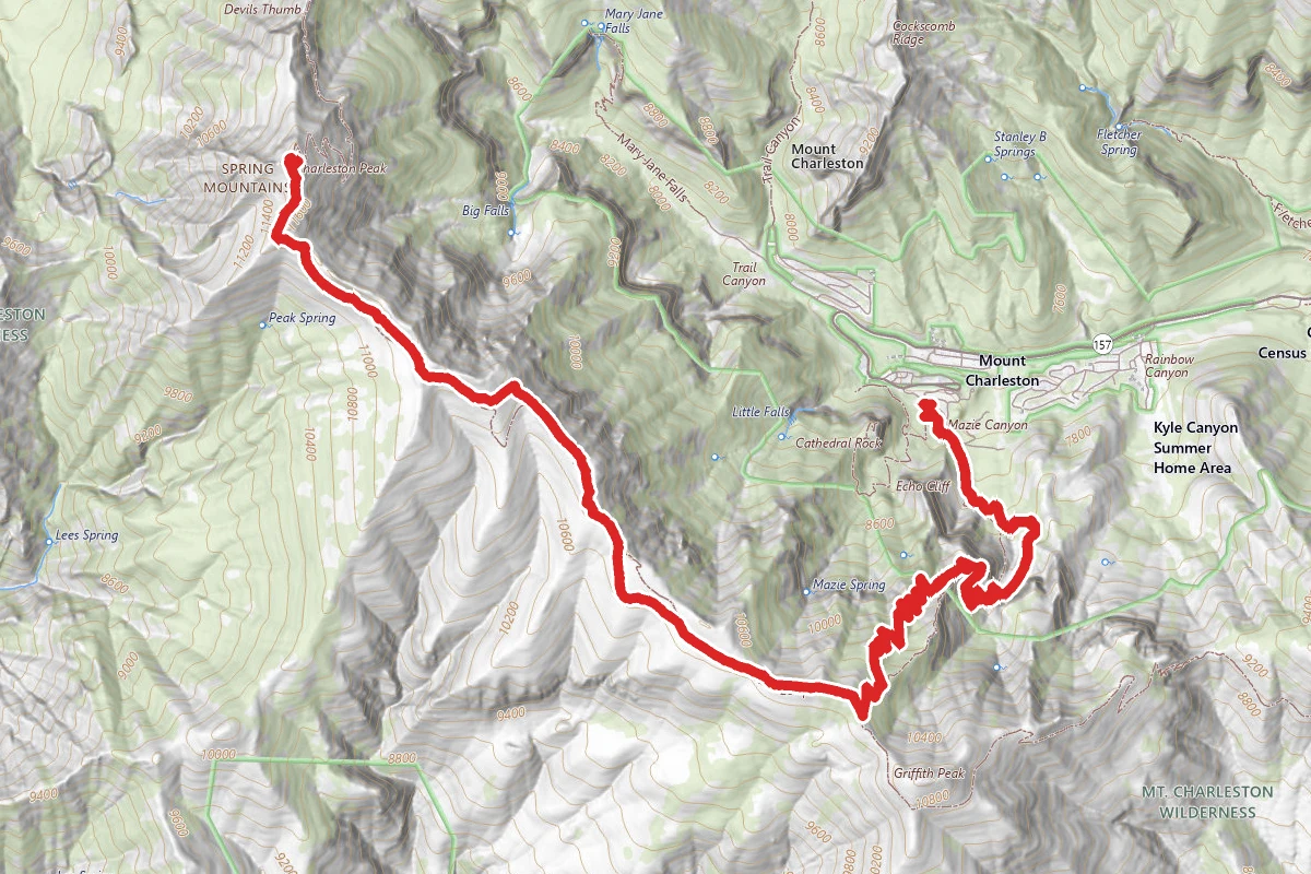
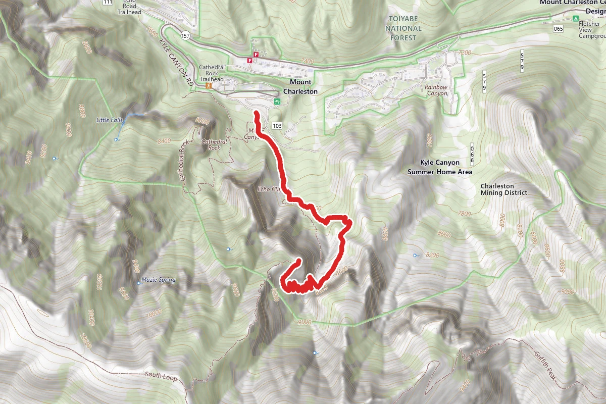
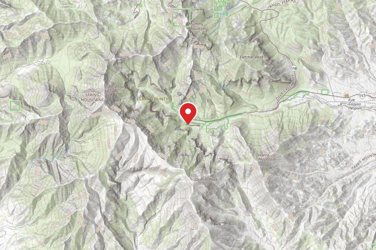
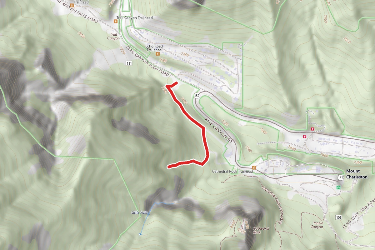
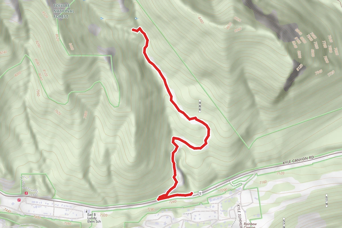
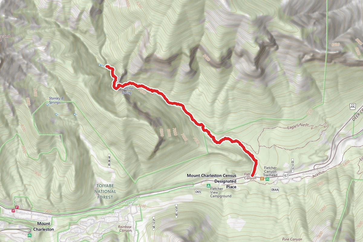
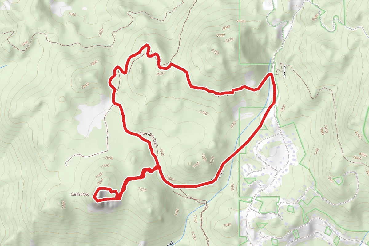
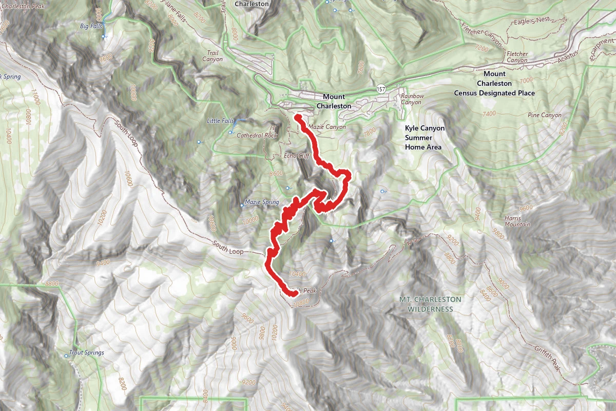
Charleston Peak South Trail route map
ExpertOut and Back

Charleston Peak South Trail

Mount Charleston, Nevada

16.1 mi

Distance

5,902 ft

Elev. Gain

7h 49m

Est. Time

Out & Back

Route Type

Expert

Difficulty

About This Trail

Imported description
The South Loop Trail starts off at an easy pace as it heads SW. The grade increases rapidly as the trail turns easterly and passes to the east of Echo Cliffs. As the trail turns back SW, it passes through the two sets of cliffs. To the north is Echo Cliffs; to the south is an unnamed cliff range. Also to the south is Springs Fork, one of many springs in Mt. Charleston. It's a short quarter-mile trek to the springs. The trail follows a series of switchbacks as it climbs the backside of Echo Cliffs. There's a great overlook at the top of Echo Cliffs (two miles from the trailhead); Kyle Canyon, Mummy Mountain, and Cathedral Rock can be viewed from this overlook. The trail leaves the overlook and heads west with a gradual incline. It crosses drainage and starts a series of switchbacks that leads to the South Rim Plateau. Many of the switchbacks on the north end offer grand views of Kyle Canyon, Cathedral Rock, and Mummy Mountain. The landscape changes into a meadow before reaching the plateau. The last 100 yards are steep, but the view of Griffith Peak helps ease the pain. Upon reaching the plateau, a sign indicates the distances to Charleston Peak, Harris Saddle, and back to Kyle Canyon (the trailhead). The elevation is 10,700 feet; the distance to this point is four miles. The trail heads west and soon enters a delightful meadow. This part of the trail is referred to as The Meadows and is a favorite spot for campers. The grade is slight with a few downhill sections. Charleston Peak comes into view several times during the ramble through the meadow. The Meadows gives way to a grove of timber as the trail heads west and the grade increases. The trail hugs the ridgeline for more than half a mile, offering remarkable views of Kyle Canyon, Mt. Charleston Lodge, and State Route 157. Directly across the canyon is Mummy Mountain, and to the (west) left is North Ridge Rim. The trail turns away from the ridgeline and heads SW before it climbs to another ridge. Off to the left is an unnamed peak that many hikers mistake for Mt. Charleston. The trail rises to a saddle and Mt. Charleston ridgeline comes into view. The trail heads NW toward the summit and away from the false peak. About 150 yards past the saddle a faint path to the south (left) travels down to Peak Springs. There's a sign marking the turnoff, but it's easily missed. The half-mile trek down to Peak Springs is very steep and you lose 900 feet in elevation. The hike back up to the trail is a killer, but if you need water Peak Springs is a reliable source. Due to the wind and elevation, the landscape becomes harsh. Bristlecone pines are reduced to twisted dwarfs. You're above 11,000 feet at this point, but luckily the incline is moderate. Charleston Peak looks more like a ridge than a summit from this angle. Just off the trail to the right are the remains of a 1955 plane crash. The last half-mile to the peak is a steep 20% grade. Just before the peak the trail forks. Both trails go to the peak; however, the main trail is less steep. The wind can be harsh above the treeline. Bring a windbreaker. It's important to drink plenty of water before this final ascent. One cause of altitude sickness is a lack of water! Congratulations, you're standing, or lying down questioning your sanity, at the highest point in southern Nevada. Take a moment to experience the silence, breathe the clean air, and be thankful you're in good enough shape to stand at the peak. The summit offers a fantastic 360-degree view of southern Nevada, eastern California, and southern Utah. An Army box contains a sign-in book. A dug out fort that holds 10 people is a favorite resting point before starting back down. You can return the way you came up or make a loop by hiking down the North Loop Trail to Trail Canyon.

Trail Conditions

Trail Conditions

Unknown

We have no current condition data for this trail. Check with the operator before you go, and submit a report below if you've been recently.

No recent condition reports. Be the first to share what you see on the trail.

Elevation Profile

Min:2,346 ft
Max:3,618 ft
1,799 ft
1,799 ft
2,346 ft2,770 ft3,194 ft3,618 ft0.0 mi4.0 mi8.0 mi12.1 mi16.1 mi

Trail Details

Route Type
Out & Back
Surface
Dirt

Official sources & verification

Managed by United States Forest Service

Verify before you go

Managing agency

Verify by phone or mail

  • Address:NV
We display cached information from agency feeds. Hours, fees, permits, closures, fire restrictions, and conditions change without notice. Outdoors is not the permitting authority. Confirm current conditions for this trail using the links above before you go — you are responsible for compliance. Last verified by us: May 23, 2026. Our copy is more than a month old — please reconfirm with the agency before relying on it.Spot an error in our data?

Reviews

No reviews yet

Be the first to share your experience and help others plan their visit.

Legacy import — verify before navigating

Path geometry came from our pre-launch legacy database. Routes have not yet been re-verified against the operator and may differ from the actual trail.

Hunt context

This trail crosses hunting units

During hunting seasons, wear blaze orange and check regulations — see the Nevada hunting page
Spot an error in our data on Charleston Peak South Trail?