Moderate
8 mi
Distance
2,297 ft
Elev. Gain
3h 30m
Est. Time
0.0
0 Reviews
About This Trail
The south and west trails are closed due to the Carr Fire. Brandy Creek Falls is located in the Whiskeytown National Recreation Area. In the spring, Brandy Creek is rushing fast with the snow melt coming off of Shasta Bally. You can take a 2.6 mile hike after driving up the Shasta Bally Road. This route spans the entire length of the Brandy Creek Trail. The Brandy Creek Trail climbs moderately, sometimes getting close to the creek, but mostly staying high above it. The Lower Brandy Creek Falls are located just before the trail crosses Rich Gulch. The trail ends at a crossing of Brandy Creek. It is easy to walk beside the falls.
Trail Details
Out & Back
Route Type
Dirt
Surface
Dogs Allowed (Leash Required)
Dog Policy
Yes
Kid Friendly
No
Permit Required
Elevation Profile
Min:403 ft
Max:813 ft
700 ft
700 ft
Reviews
No reviews yet
Be the first to share your experience and help others plan their visit.
Trail Conditions
Trail Conditions
Unknown
Updated Unknown
No recent condition reports. Be the first to share what you see on the trail.
Nearby Trails
More trails near Brandy Creek Trail [CLOSED]![Boulder Creek Trail [CLOSED]](https://www.nps.gov/common/uploads/structured_data/3C873CC3-1DD8-B71B-0B076FC2806DF140.jpg?width=800&quality=80)
Stay nearby
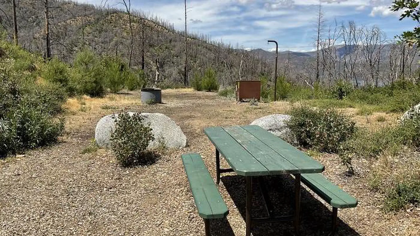
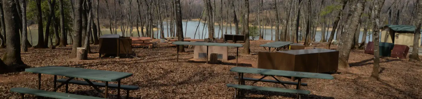
Campgrounds near this trail
 Reservable
Brandy Creek RV Campground
0.2 mi away · CA
- Reservable
Brandy Creek Primitive Campground
0.9 mi away · CA
Dry Creek Group Campground (whiskeytown Nra)
0.9 mi away · CA
Reservable
Whiskeytown National Recreation Area Dry Creek Group Campground
0.9 mi away · CA
 Reservable
Sheep Camp Primitive Campground
1.4 mi away · CA
Sheep Camp - Whiskeytown National Rec Area
1.4 mi away · CA
Similar length
Similar trails in California

Four Mile Trail
California
7.7 km975 mgain
Difficult
.jpg/1280px-Lost_Horse_Mine_Loop_Trail_(16650877030).jpg)
Lost Horse Mine Loop
California
14.0 km152 mgain
Moderate
Potato Chip Rock via Mt. Woodson Trail
California
12.2 km1,108 mgain
Difficult
Iron Mountain Trail
California
8.4 km435 mgain
Moderate
Mission Peak Loop from Stanford Avenue Staging Area
California
9.3 km686 mgain
Difficult
Echo Mountain via Sam Merrill Trail
California
8.7 km1,194 mgain
Moderate