ModerateOut and Back
2.9 mi
Distance
1,119 ft
Elev. Gain
1h 19m
Est. Time
0.0
0 Reviews
About This Trail
The trails on the south and west side of the recreation area have been closed due to the Carr Fire. The route goes through Brandy Creek Trail and ends at the falls. If you're looking for a short hike to the falls, this is the route for you.
Trail Details
Out & Back
Route Type
Dirt
Surface
Dogs Allowed (Leash Required)
Dog Policy
Yes
Kid Friendly
No
Permit Required
Elevation Profile
Min:608 ft
Max:819 ft
341 ft
341 ft
Reviews
No reviews yet
Be the first to share your experience and help others plan their visit.
Trail Conditions
Trail Conditions
Unknown
Updated Unknown
No recent condition reports. Be the first to share what you see on the trail.
![Boulder Creek Trail [CLOSED]](https://www.nps.gov/common/uploads/structured_data/3C873CC3-1DD8-B71B-0B076FC2806DF140.jpg?width=800&quality=80)
Stay nearby
Campgrounds near this trail
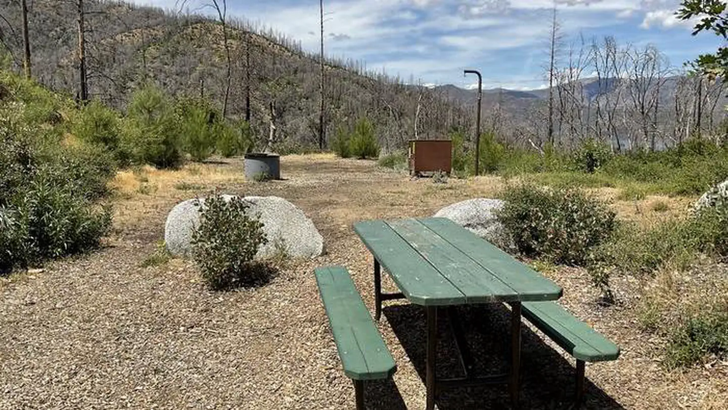
Sheep Camp - Whiskeytown National Rec Area
0.4 mi away · CA
 Reservable
Sheep Camp Primitive Campground
0.4 mi away · CA
 Reservable
Brandy Creek Primitive Campground
1 mi away · CA
- Reservable
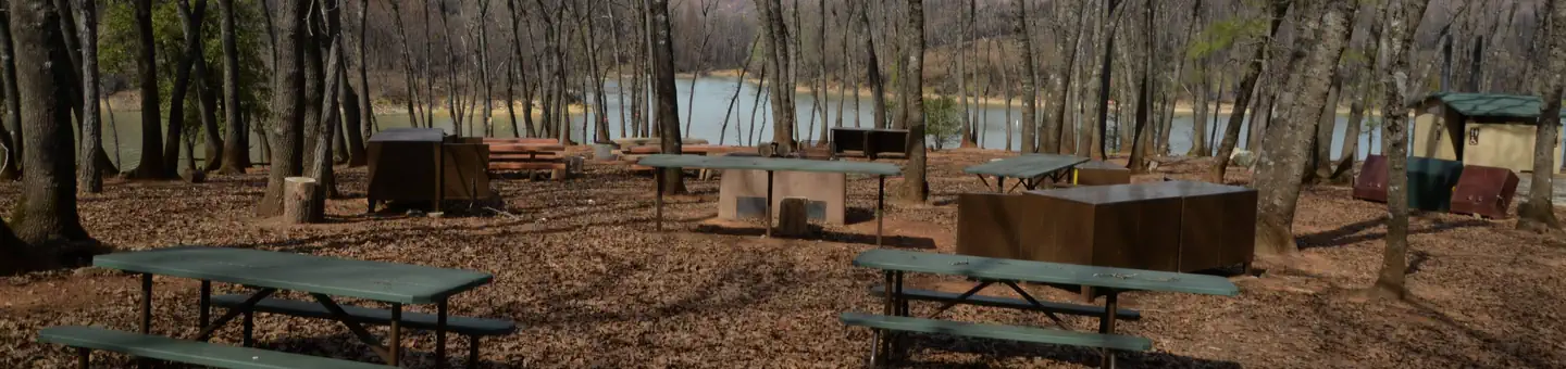
Brandy Creek RV Campground
1.9 mi away · CA
Dry Creek Group Campground (whiskeytown Nra)
2.2 mi away · CA
Reservable
Whiskeytown National Recreation Area Dry Creek Group Campground
2.2 mi away · CA
Similar length
Similar trails in California

Half Dome
California
3.2 km1,463 mgain
Expert

Mirror Lake Loop
California
6.2 km30 mgain
Easy
Yosemite Falls Trail
California
4.8 km823 mgain
Difficult
Cowles Mountain Trail
California
4.8 km327 mgain
Moderate
Eaton Canyon Trail
California
5.6 km279 mgain
Moderate
Temescal Canyon Trail [CLOSED]
California
4.7 km299 mgain
Moderate