Status unknown — verify before visiting
We don't have current condition data for this trail. Check with the land manager before you go.
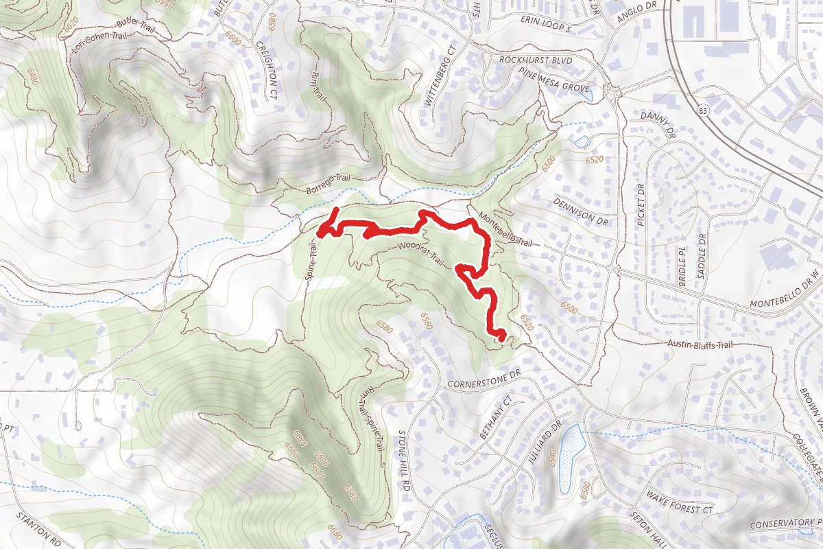
Bowls Route
0.5 mi
Distance
43 ft
Elev. Gain
12m
Est. Time
Easy
Difficulty
About This Trail
Trail Conditions
Trail Conditions
We have no current condition data for this trail. Check with the operator before you go, and submit a report below if you've been recently.
No recent condition reports. Be the first to share what you see on the trail.
Hazards & Warnings
Elevation Profile
Trail Details
Official sources & verification
Managed by United States Forest Service
Managing agency
- United States Forest Service
Find offices, alerts, and current orders for this agency.
Verify by phone or mail
- Address:CO
Best Seasons
Highlights
Reviews
No reviews yet
Be the first to share your experience and help others plan their visit.
OpenStreetMap
Hunt context
This trail crosses hunting units
During hunting seasons, wear blaze orange and check regulations — see the Colorado hunting page
In this park
Other trails in Roosevelt National Forest
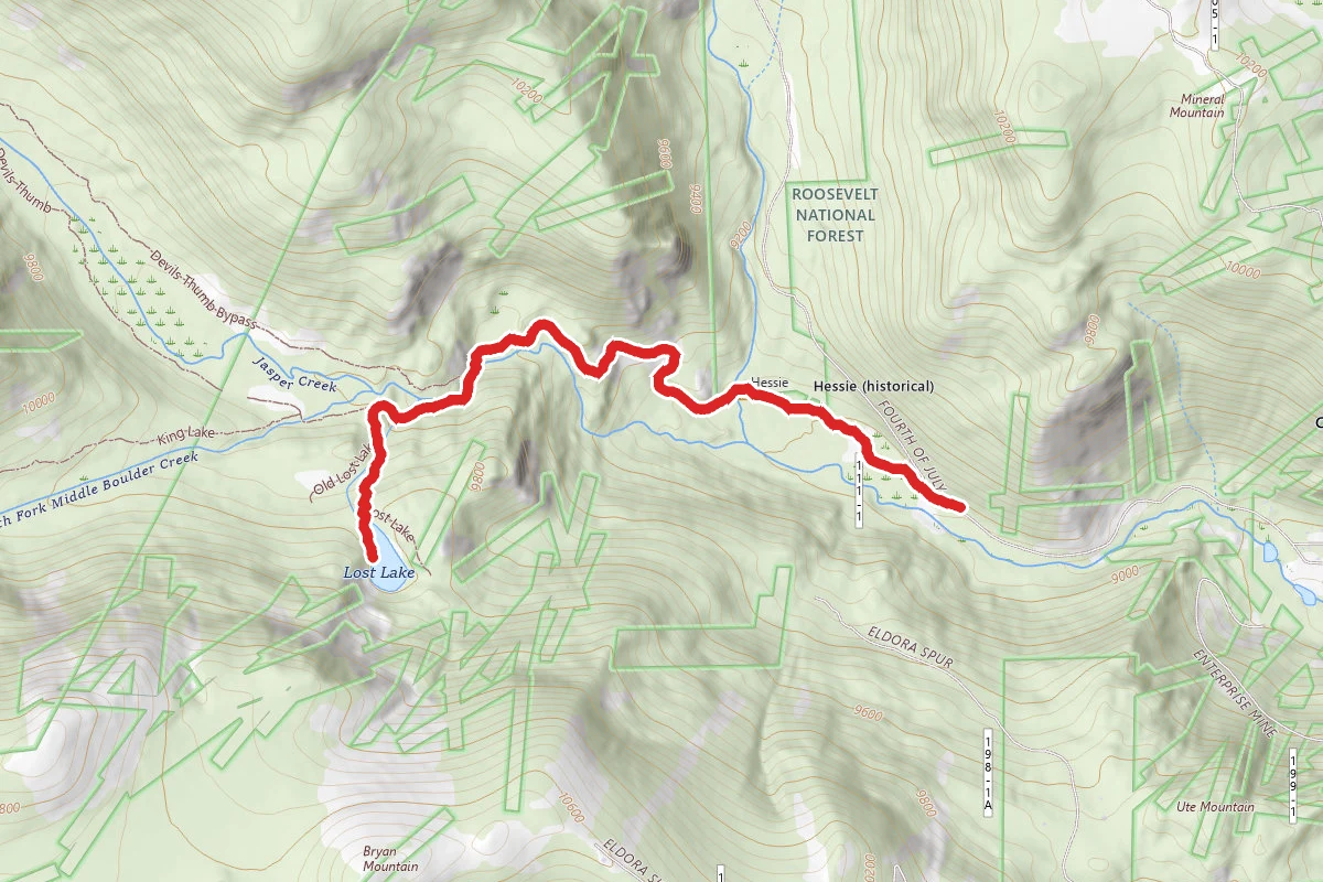
Lost Lake via Hessie Trail
Colorado
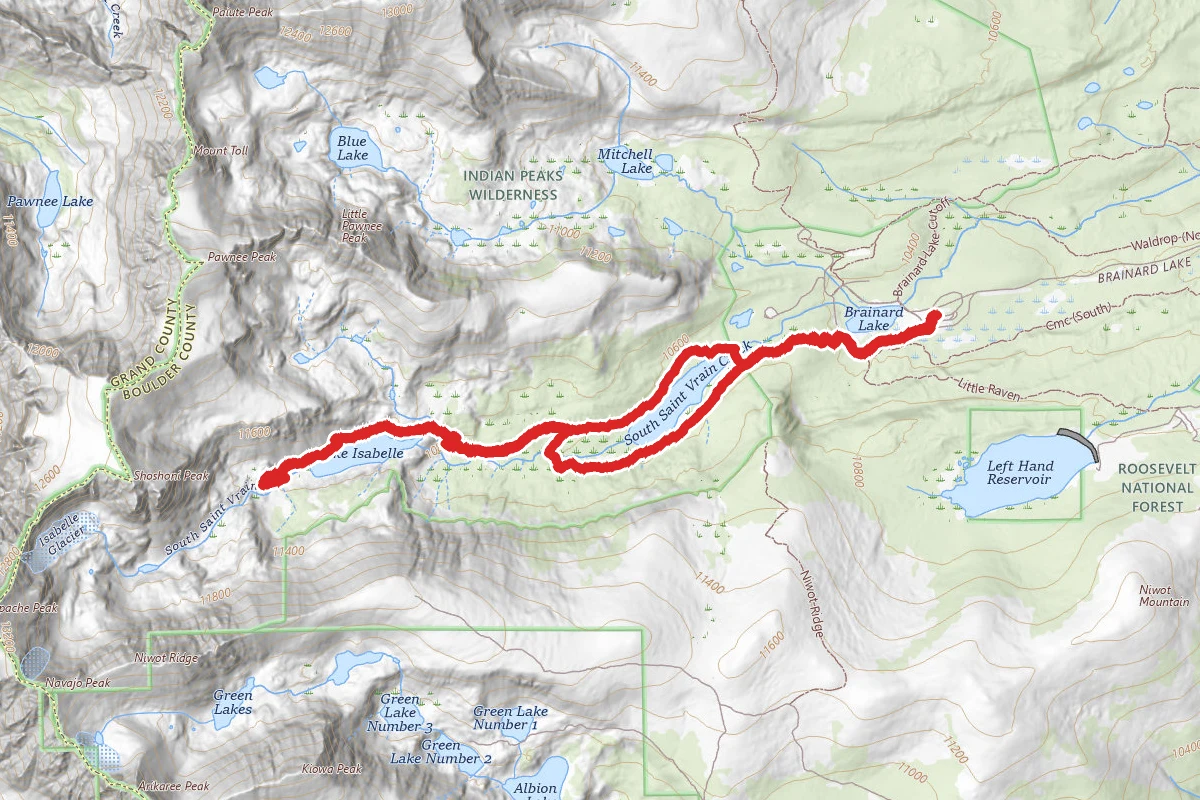
Lake Isabelle Trail (Summer)
Colorado
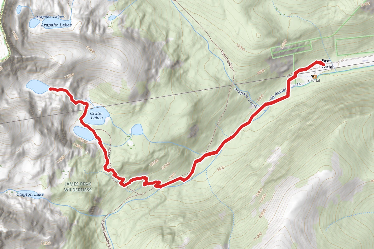
Crater Lakes Trail via Moffat Tunnel East Portal Trailhead
Colorado
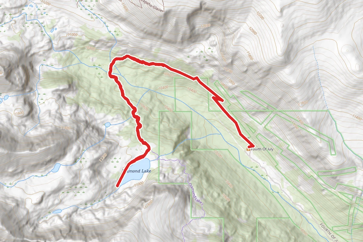
Diamond Lake Trail
Colorado
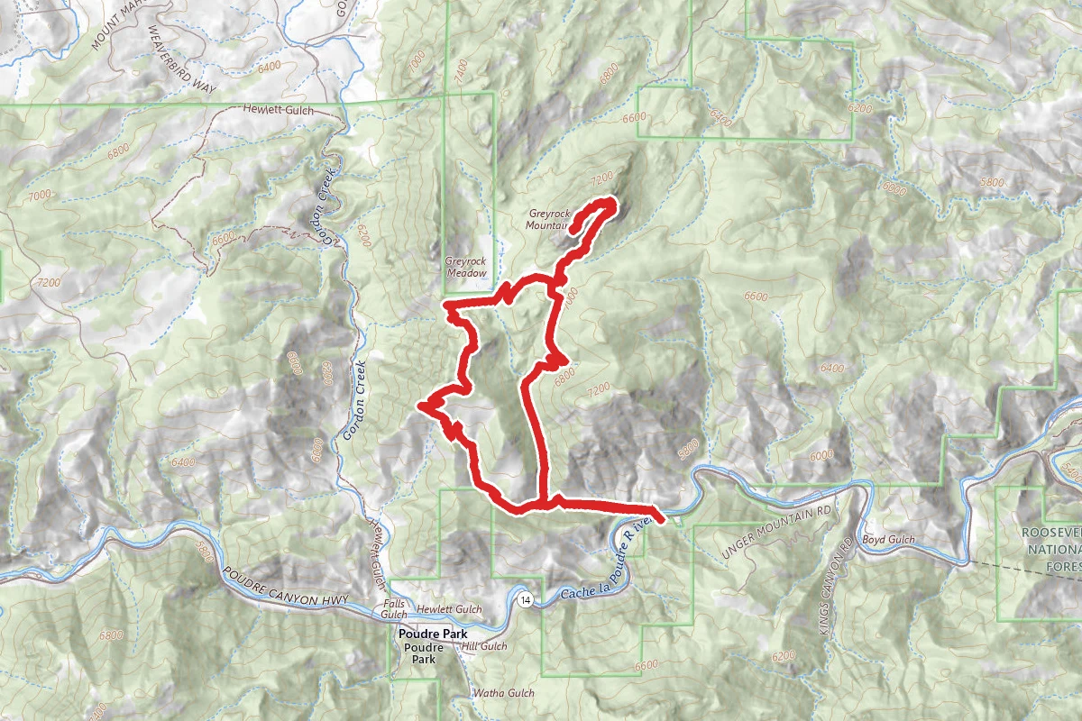
Greyrock Trail
Colorado
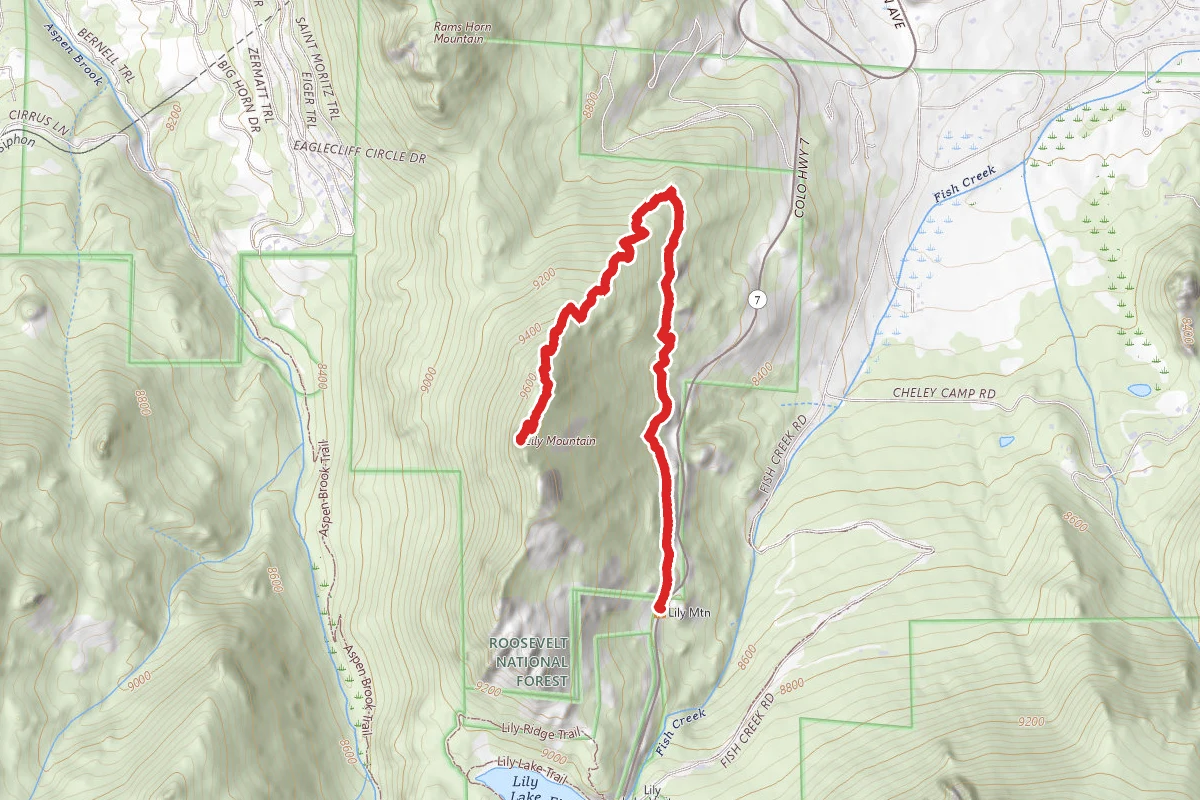
Lily Mountain Trail
Colorado
Stay nearby
Campgrounds near this trail
- Reservable
Ranger Lakes Campground - State Forest State Park
4.3 mi away · CO
Dispersed Site near 40.6089, -105.8987
4.6 mi away · CO
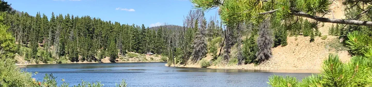 Reservable
Chambers Lake Campground
4.7 mi away · CO
Dispersed Site near 40.6102, -105.9041
4.7 mi away · CO
Dispersed Site near 40.6119, -105.9031
4.8 mi away · CO
- Reservable
North Michigan Campground
4.8 mi away · CO