Moderate
25.9 mi
Distance
3,133 ft
Elev. Gain
9h 31m
Est. Time
0.0
0 Reviews
About This Trail
The trail is used by hikers, mountain bikers, and ATVs.
Trail Details
Out & Back
Route Type
Dirt
Surface
Dogs Allowed (Leash Required)
Dog Policy
Yes
Kid Friendly
No
Permit Required
Elevation Profile
Min:1,576 ft
Max:1,698 ft
955 ft
955 ft
Reviews
No reviews yet
Be the first to share your experience and help others plan their visit.
Trail Conditions
Trail Conditions
Unknown
Updated Unknown
No recent condition reports. Be the first to share what you see on the trail.

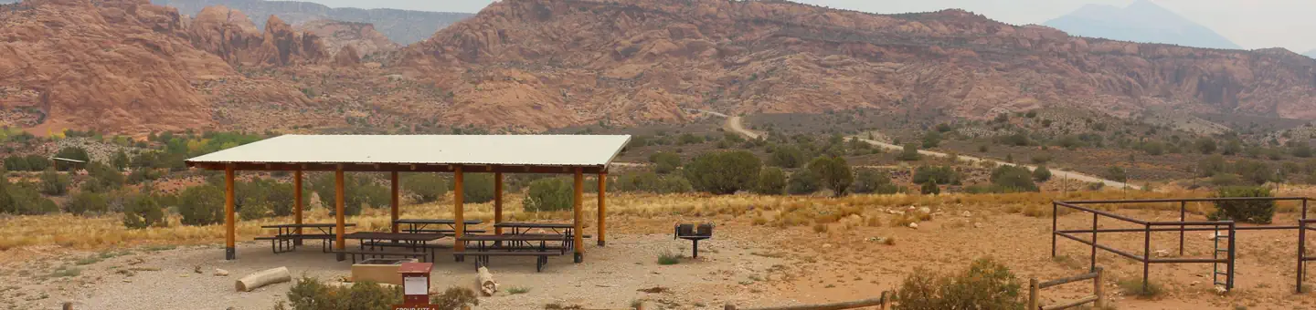
Stay nearby
Campgrounds near this trail
Similar length
Similar trails in Utah
Mount Timpanogos via Timpooneke Trail
Utah
23.0 km2,242 mgain
Difficult
Mill Creek Pipeline Trail
Utah
21.4 km1,324 mgain
Moderate
King's Peak via Henry's Fork Trail
Utah
43.1 km1,705 mgain
Difficult
Kolob Arch via La Verkin Creek Trail
Utah
24.3 km1,119 mgain
Difficult
Lower Red Castle Lake via East Fork Smiths Fork
Utah
31.2 km783 mgain
Moderate
Amethyst Lake Trail
Utah
20.9 km912 mgain
Moderate