Difficult
Anthony Creek Leadbetter Ridge Loop Trail [CLOSED]
Townsend, Tennessee
12.9 mi
Distance
3,540 ft
Elev. Gain
5h 55m
Est. Time
0.0
0 Reviews
About This Trail
The summit of Rocky Top is one of the best hikes to see mountain laurels in June, and inspired the Bryants to write the song that is now an official Tennessee State song. The views are stunning, but the hike is challenging. There is a chance to see black bears in the spring and summer.
Trail Details
Loop
Route Type
Dirt
Surface
Dogs Allowed (Leash Required)
Dog Policy
Yes
Kid Friendly
No
Permit Required
Elevation Profile
Min:613 ft
Max:1,539 ft
1,079 ft
1,079 ft
Reviews
No reviews yet
Be the first to share your experience and help others plan their visit.
Trail Conditions
Trail Conditions
Unknown
Updated Unknown
No recent condition reports. Be the first to share what you see on the trail.
Anthony Creek Trail, Russell Field Trail, Appalachian Trail, and Bote Mountain Trail Loop [CLOSED]
23.5 km
Difficult
Rocky Top via Anthony Creek Trail [CLOSED]
18.8 km
Difficult
Anthony Creek, Bote Mountain and Crib Gap Loop [CLOSED]
21.4 km
Moderate
Anthony Creek and Middle Prong Trail [CLOSED]
30.4 km
Difficult
Pine Oak Nature Trail [CLOSED]
1.3 km
Easy
![Pine Oak Nature Trail [CLOSED]](https://www.nps.gov/common/uploads/structured_data/3C873CC3-1DD8-B71B-0B076FC2806DF140.jpg?width=800&quality=80)
Pine Oak Nature Trail [CLOSED]
1.3 km4.0
Easy
In this park
Other trails in Great Smoky Mountains National Park
Alum Cave Trail to Mount LeConte
Tennessee
16.9 km1,374 mgain
Difficult
Laurel Falls Trail [CLOSED]
Tennessee
3.9 km285 mgain
Easy
Chimney Tops Trail [CLOSED]
Tennessee
5.8 km502 mgain
Difficult
Rainbow Falls Trail [CLOSED]
Tennessee
8.9 km730 mgain
Difficult
Grotto Falls Trail [CLOSED]
Tennessee
4.2 km336 mgain
Moderate
Abrams Falls Trail [CLOSED]
Tennessee
7.9 km378 mgain
Moderate
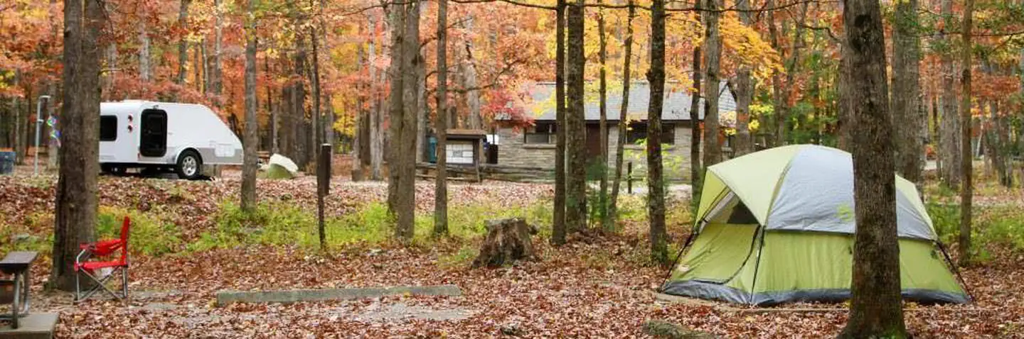
Stay nearby
Campgrounds near this trail


Similar length
Similar trails in Tennessee
Alum Cave Trail to Mount LeConte
Tennessee
16.9 km1,374 mgain
Difficult
Virgin Falls Trail
Tennessee
13.4 km524 mgain
Difficult
Ramsey Cascades Trail [CLOSED]
Tennessee
13.0 km878 mgain
Difficult
Mount Cammerer via Low Gap Trail [CLOSED]
Tennessee
19.2 km1,610 mgain
Difficult
Indian Flat Falls via Middle Prong Trail [CLOSED]
Tennessee
12.7 km435 mgain
Moderate
Laurel Falls and Cove Mountain [CLOSED]
Tennessee
12.4 km807 mgain
Moderate