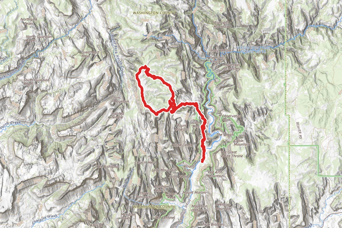
14.6 mi
Distance
3,740 ft
Elev. Gain
6h 44m
Est. Time
Loop
Route Type
Expert
Difficulty
About This Trail
Angels Landing, West Rim, Telephone Loop is a loop trail in Zion National Park, managed by the National Park Service, in Washington County, Utah. It is 15 miles long and gains 3,740 feet. The nearest town is Springdale, Utah, about 5 miles away in a straight line.
From the trail data on this page. For conditions and closures, see official sources.
Trail Conditions
Trail Conditions
We have no current condition data for this trail. Check with the operator before you go, and submit a report below if you've been recently.
No recent condition reports. Be the first to share what you see on the trail.
Elevation Profile
| Point | Distance from start | Elevation |
|---|---|---|
| Start | 0.0 mi | 1,328 ft |
| High point | 6.1 mi | 2,249 ft |
| End | 14.6 mi | 1,328 ft |
Trail Details
- No dogs
- Route Type
- Loop
Permit required
Apply through the issuing agency. Many systems run seasonal lotteries or fixed application windows — confirm current dates on the agency page.
Everyone who hikes Angels Landing needs a permit, which is issued through a lottery. The permit applies to the chains section from Scout Lookout to the summit; no permit is needed to hike up to Scout Lookout. Rangers may ask to see the permit at any point on the trail. Check the park permit page for current lottery windows.
Official sources & verification
Managed by National Park Service
Reserve or permit
- Apply for permit
Required permit application for this trail. Many systems run seasonal lotteries or fixed application windows — confirm current dates here.
Source of truth
- National Park Service unit page
Alerts, conditions, and the unit's plan-your-visit page.
Where it is
- Nearest town:
- Springdale, UT · about 5 mi away
- County:
- Washington County, UT
- Jurisdiction:
- Zion National Park · National Park Service
Nearest town and county from U.S. Census Bureau place records and county boundaries.
Verify by phone or mail
- Operator:435-772-3256
- Address:Zion National Park, 1 Zion Park Blvd., State Route 9 · Springdale, UT · 84767
Reviews
No reviews yet
Be the first to share your experience and help others plan their visit.
Legacy import — verify before navigating
Path geometry came from our pre-launch legacy database. Routes have not yet been re-verified against the operator and may differ from the actual trail.
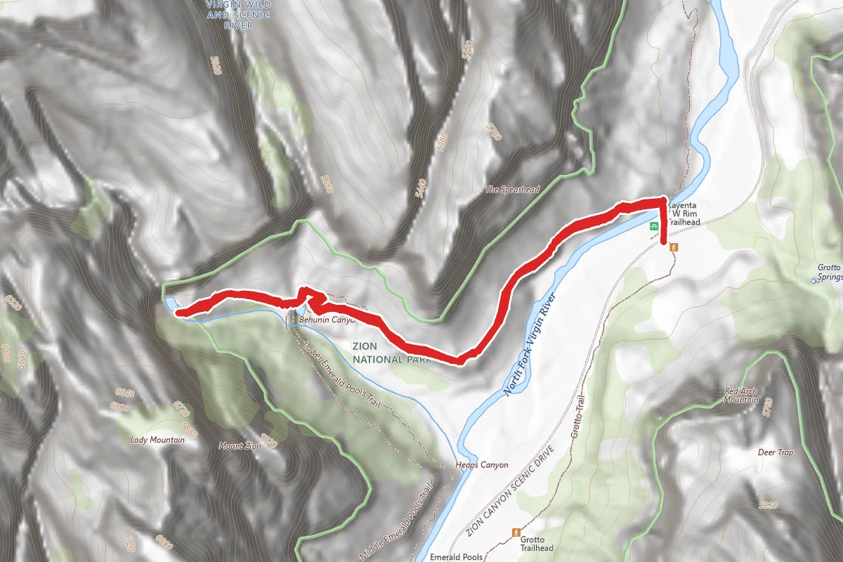
Kayenta Trail to the Emerald Pools
0.0 mi away
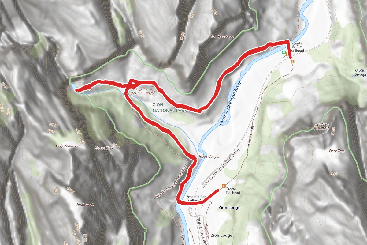
Kayenta Trail to the Emerald Pools and Zion Lodge
0.0 mi away
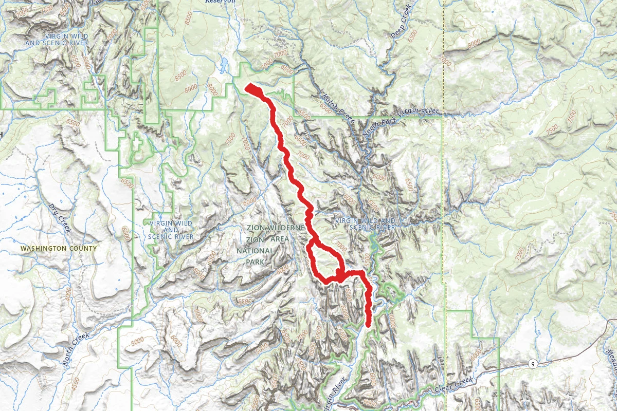
West Rim Trail to Lava Point
0.0 mi away

Angels Landing
0.0 mi away
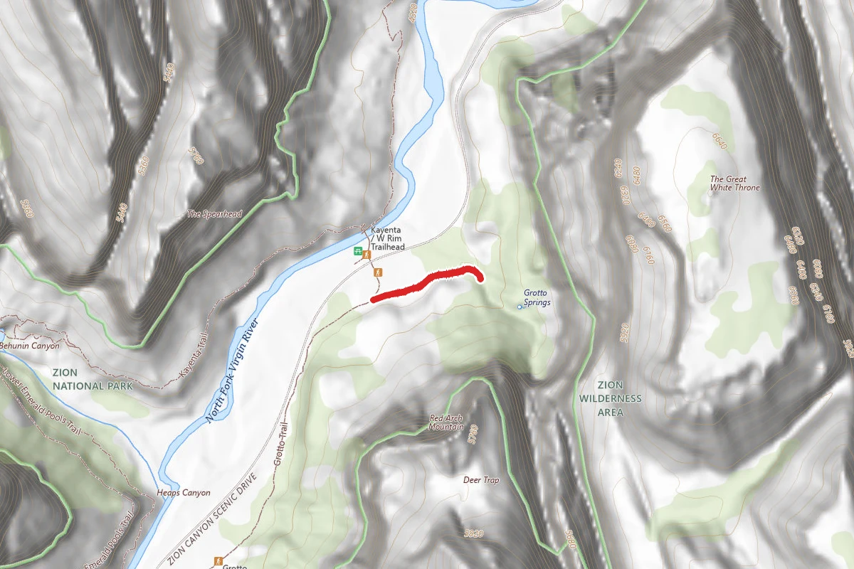
Grotto
0.1 mi away
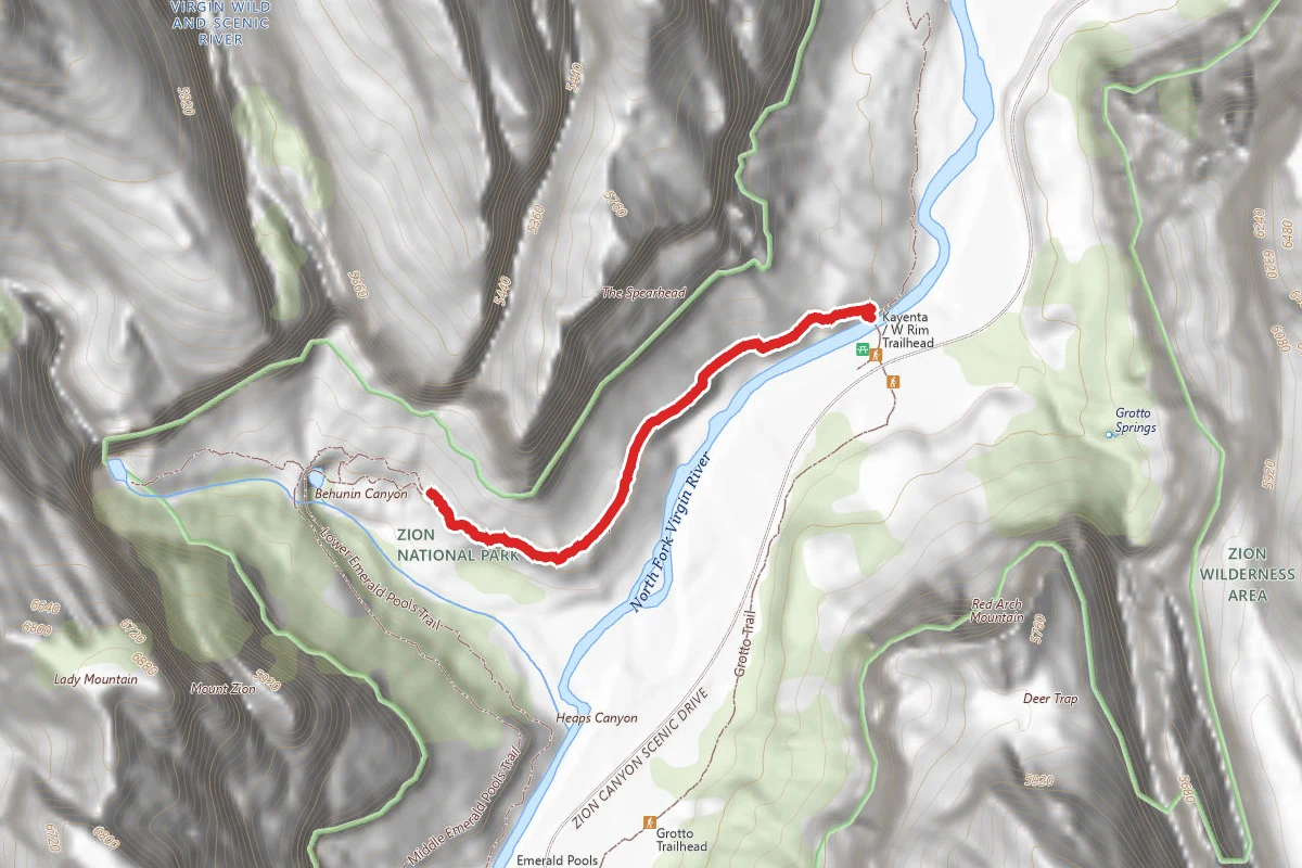
Upper Kayenta Trail
0.5 mi away
In this park
Other trails in Zion National Park
Angels Landing
Utah
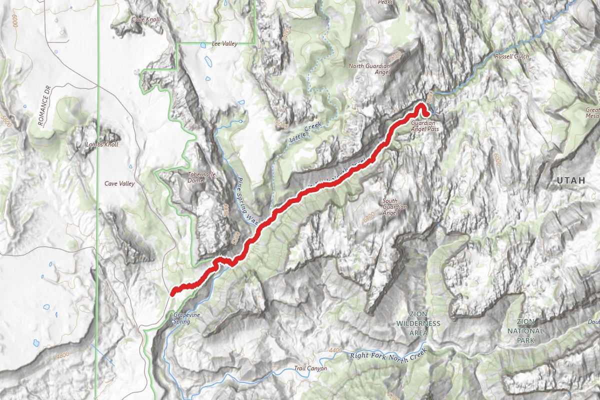
The Narrows (Bottom-Up)
Utah
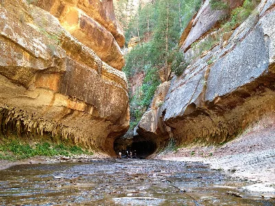
The Subway (Bottom-Up)
Utah
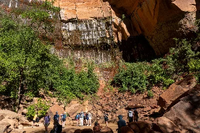
Emerald Pools Trail
Utah
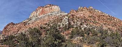
Canyon Overlook Trail
Utah
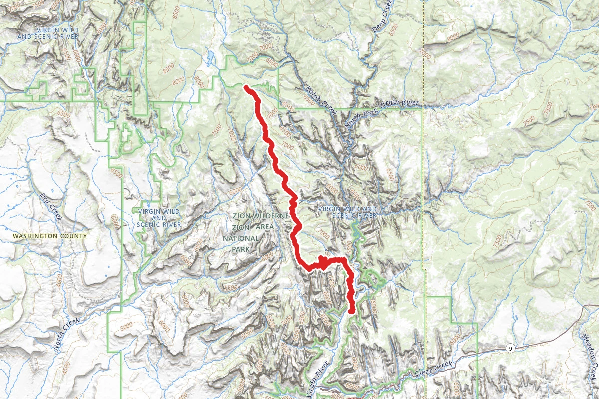
West Rim Trail (Top-Down)
Utah
Stay nearby
Campgrounds near this trail
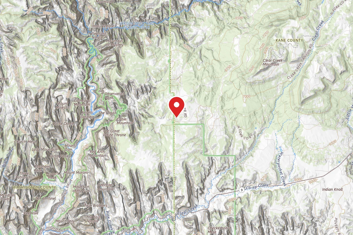
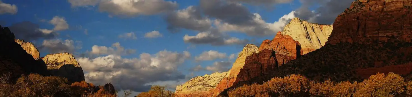
South Campground
4.2 mi awayZion National Park
Springdale, UT
Check official pricing128 sitesNational Park Reservable TentRV Very popular Good Coverage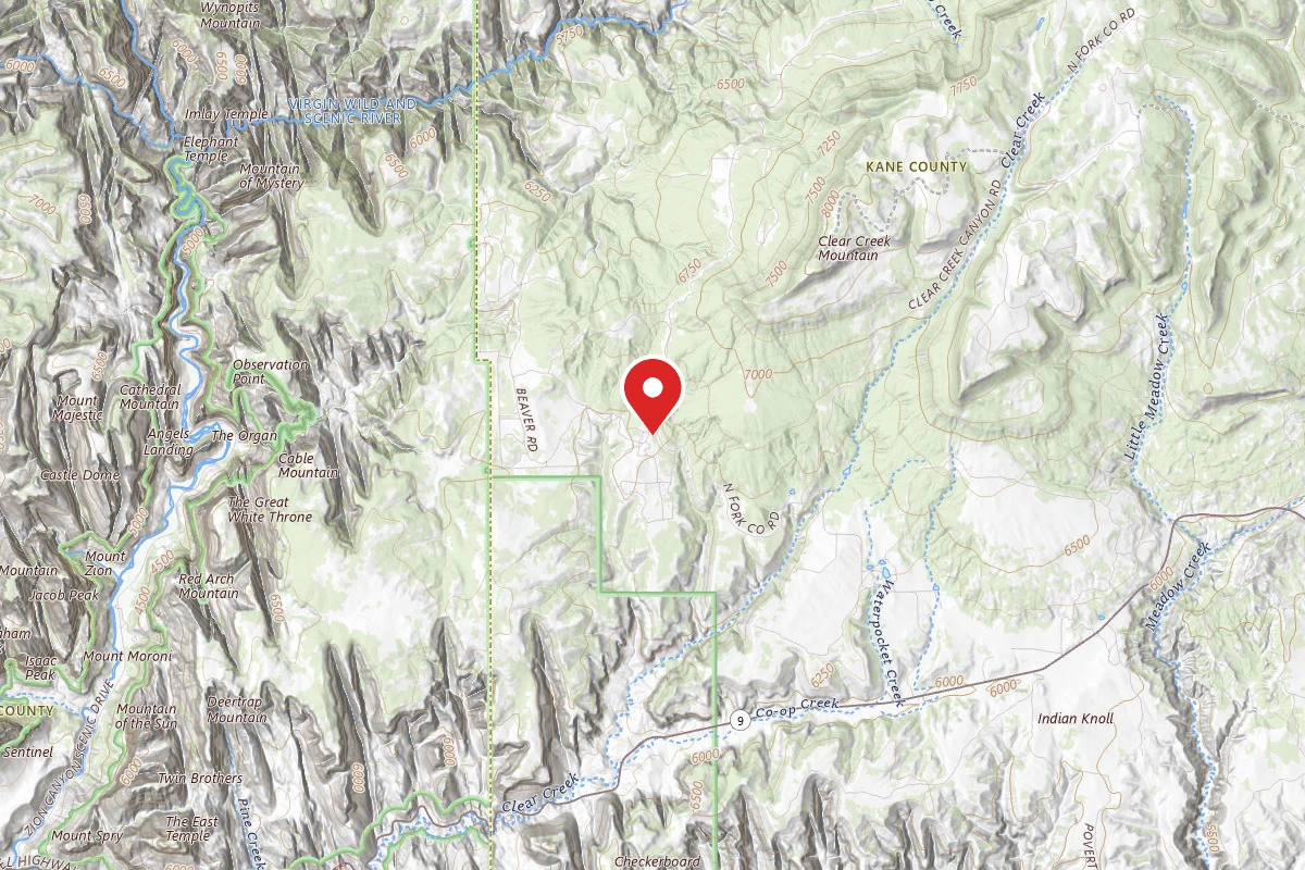

Watchman Campground
4.7 mi awayZion National Park
Springdale, UT
Check official pricing190 sitesNational Park Reservable TentRV Very popular Good Coverage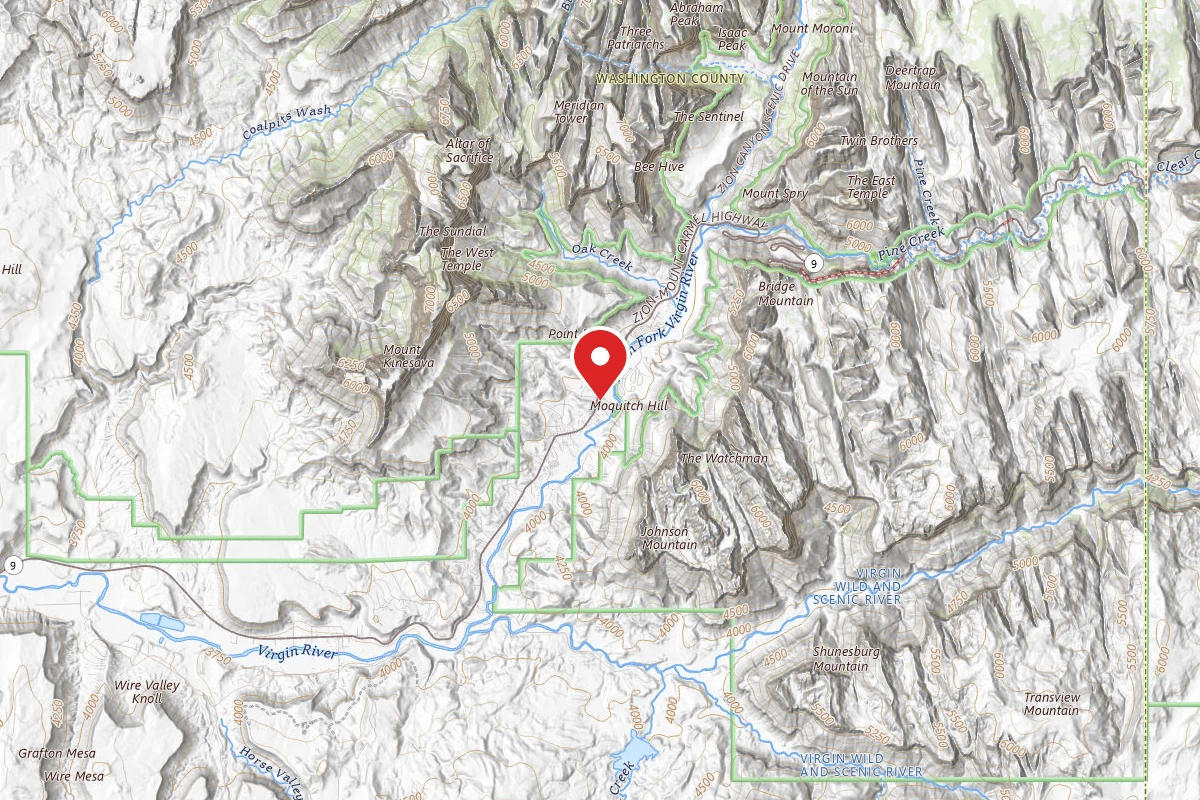
Zion Canyon Campground
5.1 mi awaySpringdale, UT
Pricing varies — check with the operatorReservable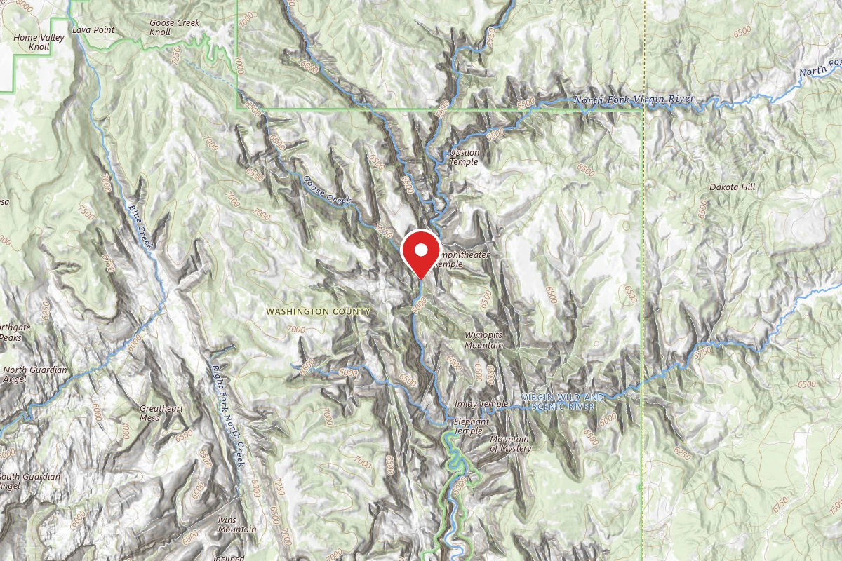
The Virgin River Narrows Campsites 1-12 (Backcountry Wilderness Designated Sites)
5.3 mi awayZion National Park
Virgin, UT
Dispersed Reservable
Similar length
Similar trails in Utah
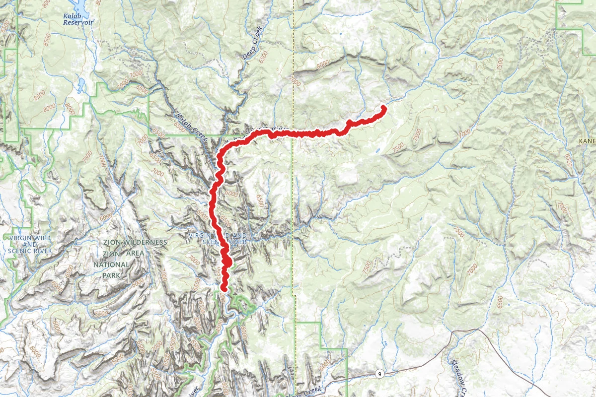
The Narrows (Top Down)
Utah
The Subway (Bottom-Up)
Utah
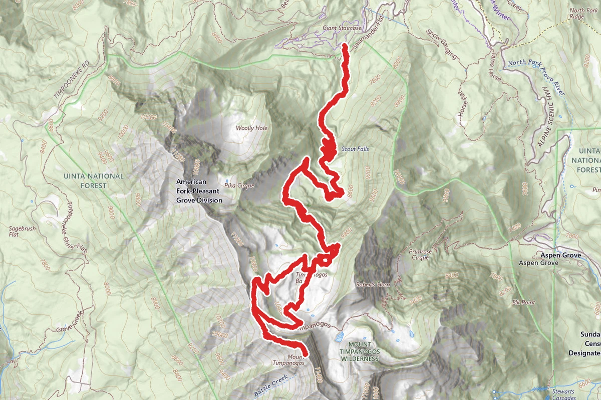
Mount Timpanogos via Timpooneke Trail
Utah
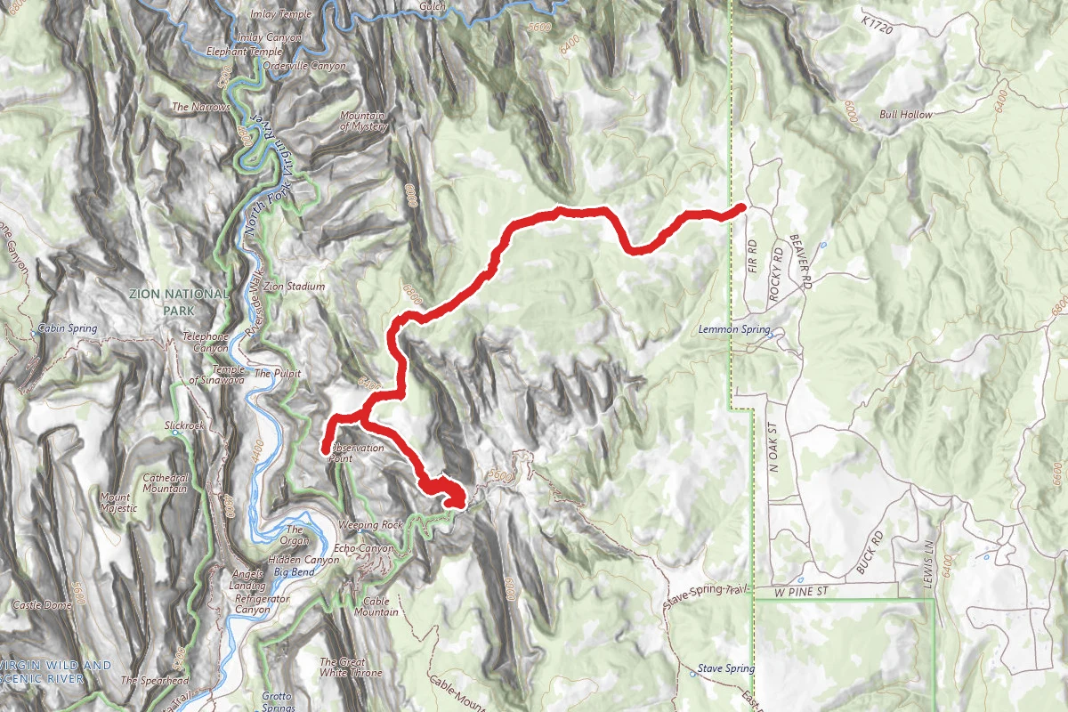
East Mesa Trail and Observation Point
Utah
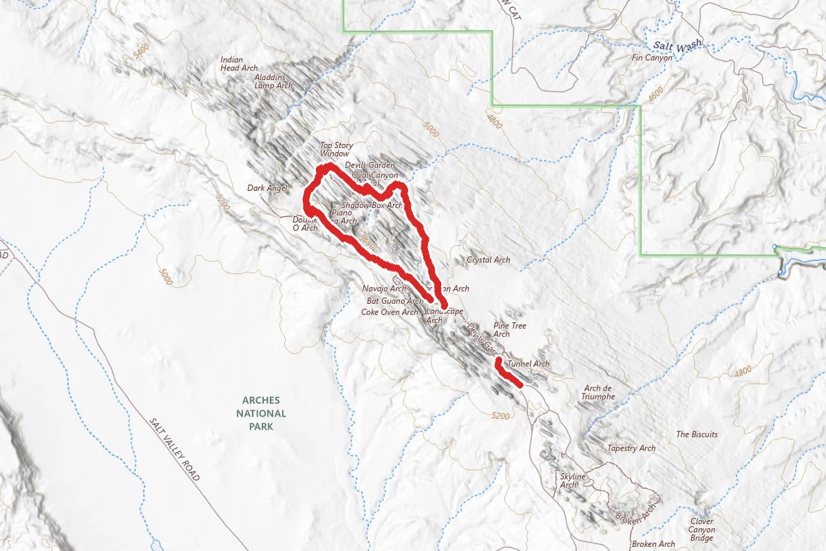
Devils Garden Primitive Loop
Utah
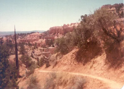
Fairyland Loop Trail
Utah