Status unknown — verify before visiting

We don't have current condition data for this trail. Check with the land manager before you go.

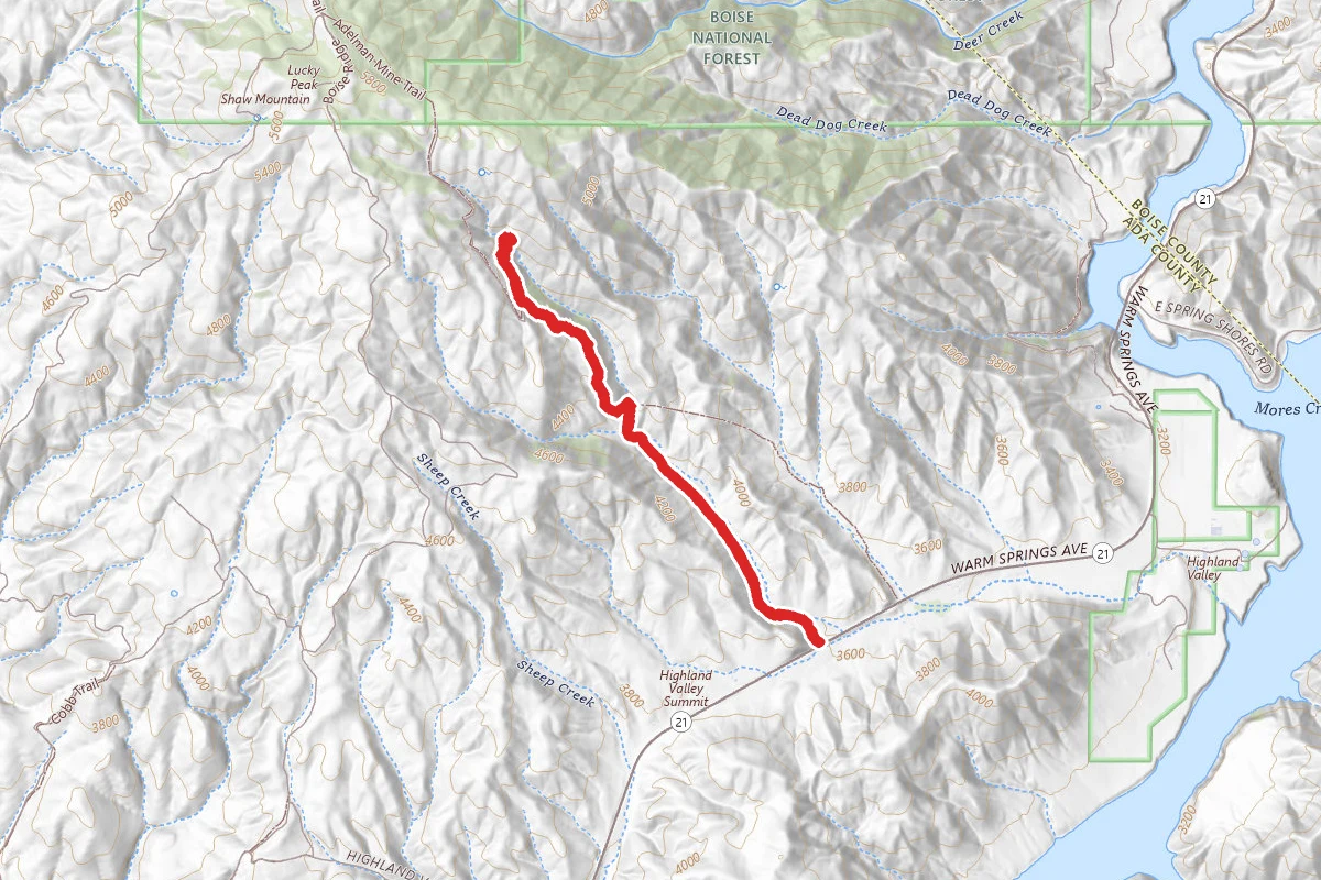
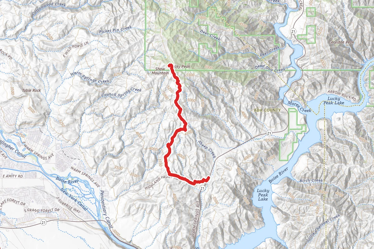
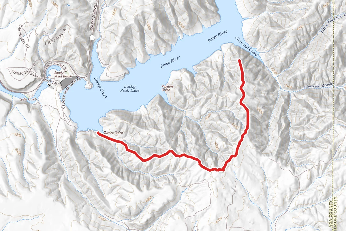
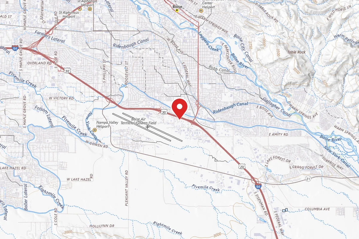
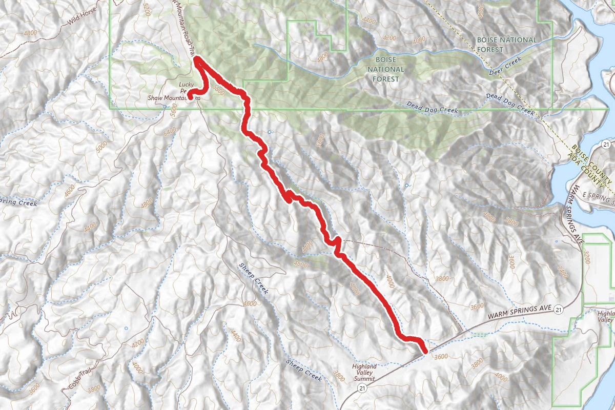
Adelmann Mine and Lucky Peak route map
DifficultOut and Back

Adelmann Mine and Lucky Peak

Boise, Idaho

8.8 mi

Distance

3,094 ft

Elev. Gain

4h 7m

Est. Time

Out & Back

Route Type

Difficult

Difficulty

About This Trail

Imported description
Want to climb to the top of Lucky Peak, but you'd like a bit more of the "trail" experience than the traditional "dirt road" routes? Here ya go! And if you've never hiked to Adelmann Mine, then you've got a two-fer in order! Start at the gate to the Boise River Wildlife Management Area, just off Hwy 21. There is limited parking, so arrive early during the summer months. Head north through the WMA buildings to start the hike. The initial two miles is an uphill grind over a lightly-used double-track. During early summer, it's a green oasis with lots of wildflowers. From July on, it's quite a bit more brown, and the Mormon crickets can be rather annoying. The higher you climb, the better the views become. When you reach a very indistinct trail junction (it's more of a small meadow), you have a choice - if you've never visited Adelmann Mine, you can head straight on the obvious for another quarter of a mile to check out the mine, and then double back to go up to Lucky Peak. To head straight for Lucky Peak, bear left and uphill. About 50 yards up the hill, the trail passes a large forestry gate and cuts hard right. It's still double-track at this point, but quickly necks down to a somewhat overgrown single-track trail that is quite a bit prettier than the double-track you've been on. The trail keeps climbing as the vegetation keeps getting more wooded. Once you top out on the ridge, like flicking on a switch, you'll suddenly be in a forest paradise. Here the trail levels out for a bit -- enjoy the rest and the wonderful shade! Next, you'll exit the forest and cross a couple of fences (don't worry - they have stiles for easy crossing). After the fences you're back on a rocky jeep trail as you head left and uphill. You have about a half mile to the top of Lucky Peak (head for the radio tower - you can't miss it). Boise State has a bird observatory here - you'll likely see the yurts and tents. Take in the views and have a snack before heading back the way you came. If you didn't hit Adelmann Mine on the way up, might want to consider hitting it on the way back.

Trail Conditions

Trail Conditions

Unknown

We have no current condition data for this trail. Check with the operator before you go, and submit a report below if you've been recently.

No recent condition reports. Be the first to share what you see on the trail.

Elevation Profile

Min:1,105 ft
Max:1,793 ft
943 ft
943 ft
1,105 ft1,334 ft1,564 ft1,793 ft0.0 mi2.2 mi4.4 mi6.6 mi8.8 mi

Trail Details

Route Type
Out & Back
Surface
Dirt

Official sources & verification

We don't have curated agency sources for this trail in our cache yet. Outdoors is not the permitting authority — confirm conditions, permits, and access with the managing agency before you go. If you know who manages this trail, please tell us.

Reviews

No reviews yet

Be the first to share your experience and help others plan their visit.

Legacy import — verify before navigating

Path geometry came from our pre-launch legacy database. Routes have not yet been re-verified against the operator and may differ from the actual trail.

Hunt context

This trail crosses hunting units

During hunting seasons, wear blaze orange and check regulations — see the Idaho hunting page

Spot an error in our data on Adelmann Mine and Lucky Peak?