No photos yet
Official sources & verification
Managed by Bureau of Land Management
Source of truth
- Agency source page
The page our published rules and notes are derived from.
Managing agency
- Bureau of Land Management
Find offices, alerts, and current orders for this agency.
Verify by phone or mail
- Operator:760-833-7100 (Field Office) or 760-862-9984 (Visitor Center)
- Email:BLM_CA_Web_PS@blm.gov
- Address:NV
About
Imported descriptionThis scenic driving tour climbs from the desert through the Santa Rosa and San Jacinto Mountains, before descending again to the desert. The route passes through a series of areas preserved for animal habitat, ranging from desert oasis to snow-capped mountains, and parts of the Santa Rosa and San Jacinto Mountains National Monument and San Bernardino National Forest.
Drivers can pull off the winding and often steep road at a number of pulloffs or lookout points, each with habitat ranging from forested mountainsides with pine, oak and fir, to a reservoir, to arid brush- and cactus-covered stretches -- not to mention sweeping views of mountains and valleys.
Source: recreation.gov
From Wikipedia
State Route 74 (SR 74), part of which forms the Palms to Pines Scenic Byway or Pines to Palms Highway, and the Ortega Highway, is a state highway in the U.S. state of California. It runs from Interstate 5 in San Juan Capistrano in Orange County to the city limits of Palm Desert in Riverside County. Stretching about 93 miles (150 km), it passes through several parks and National Forests between the Pacific coast and the Coachella Valley. Though some maps and signs may still mark SR 74 as continuous through the city of Perris, control of segments within that city were relinquished to that local jurisdictions and are thus no longer officially part of the state highway system.
Source: Wikipedia — text licensed CC BY-SA 4.0. Verify alerts and operational details with the managing agency below.
Reviews
No reviews yet
Be the first to share your experience and help others plan their visit.
Hunting in this park
This park overlaps hunting units
During hunting seasons, wear blaze orange and check regulations — see the California hunting page
Within ~100 miles
Parks near Palms to Pines Scenic Byway
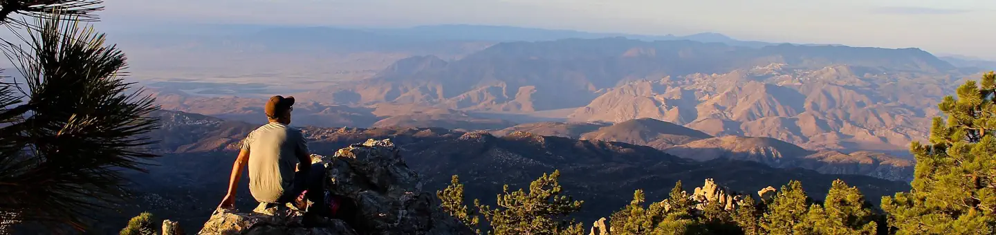
Nat'l Recreation Area
Park
Santa Rosa and San Jacinto Mountains National Monument
Nevada
recreation area
Park
Lake Cahuilla
Nevada
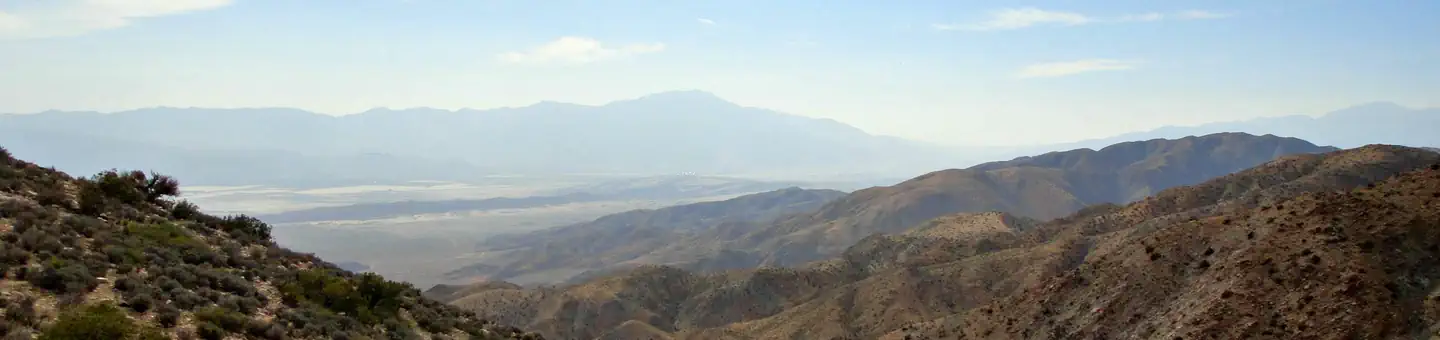
wildlife refuge
Park
Coachella Valley National Wildlife Refuge
Nevada
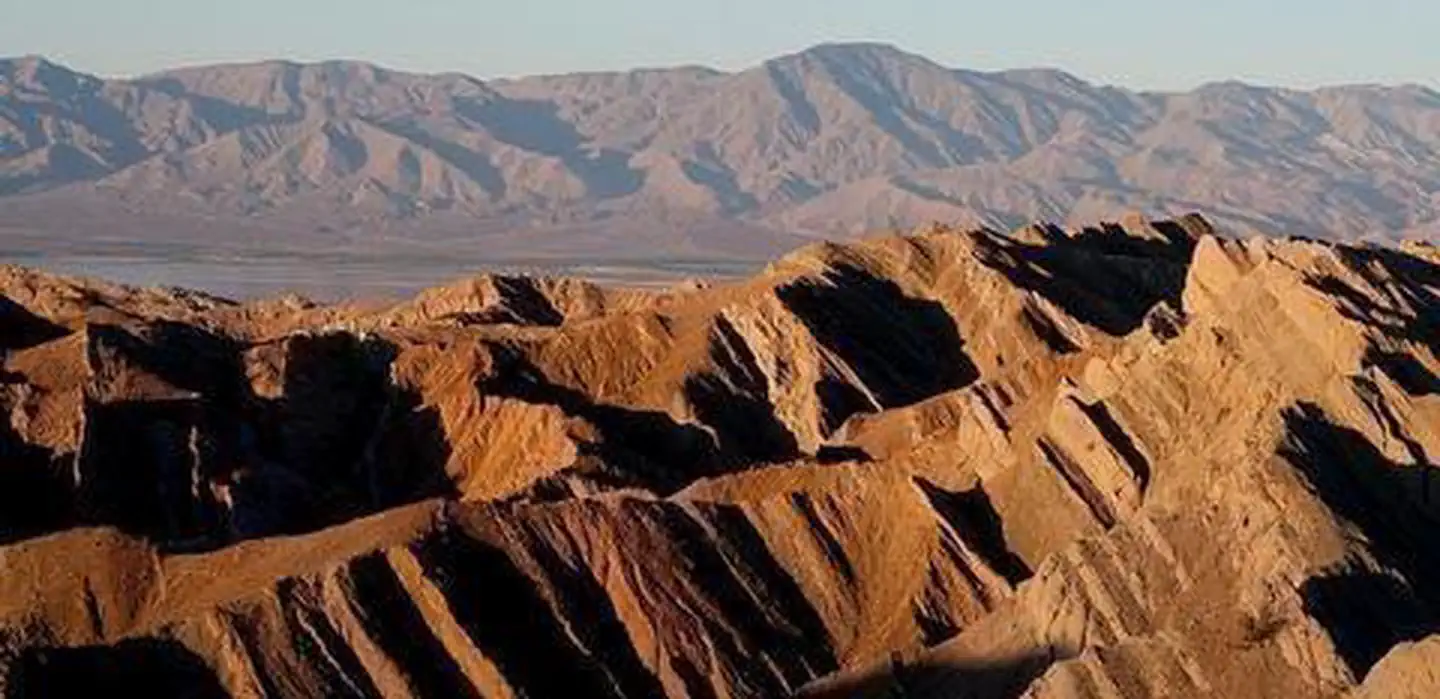
Nat'l Recreation Area
Park
Santa Rosa Wilderness
Nevada
Wilderness Area
Park
Beauty Mountain Wilderness
Nevada
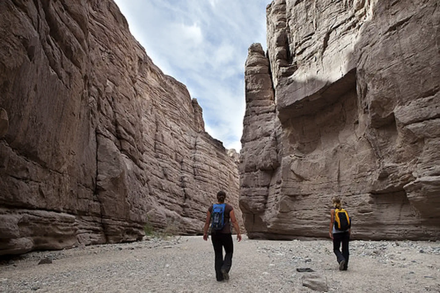
Wilderness Area
Park
Mecca Hills Wilderness
Arizona
Same state
More parks in Nevada
Featured
National Forest
Park
Humboldt-Toiyabe National Forest
Nevada
9,828 sq mi
recreation area
Park
Afton Canyon
Nevada
Nat'l Recreation Area
Park
Amboy Crater National Natural Landmark
Nevada

Wilderness Area
Park
Arrow Canyon Wilderness
Nevada
Nat'l Recreation Area
Park
Arrowhead (Trails) Highway
Nevada
Nat'l Recreation Area
Park
Ash Meadows National Wildlife Refuge
Nevada
recreation area
Park
Barstow
Nevada
Nat'l Recreation Area
Park
Beaver Dam Mountains Wilderness
Nevada
Spot an error in our data on Palms to Pines Scenic Byway?