No photos yet
Official sources & verification
Managed by Recreation Area
Source of truth
- Lake Cahuilla — official page
Operator-published page with current visitor information.
- Agency source page
The page our published rules and notes are derived from.
Verify by phone or mail
- Operator:760-564-4712
- Address:NV
About
Lake Cahuilla was a prehistoric lake in California and northern Mexico. Located in the Coachella and Imperial valleys, it covered surface areas of 5,700 km2 (2,200 mi2) to a height of 12 m (39 ft) above sea level during the Holocene. During earlier stages of the Pleistocene, the lake reached even higher elevations, up to 31–52 m (102–171 ft) above sea level. During the Holocene most of the water came from the Colorado River with little contribution from local runoff; in the Pleistocene local runoff was higher and it is possible that Lake Cahuilla was supported solely from local water sources during the Wisconsin glaciation. The lake overflowed close to Cerro Prieto into the Rio Hardy, eventually draining into the Gulf of California.
Source: Wikipedia — text licensed CC BY-SA 4.0. Verify alerts and operational details with the managing agency below.
Reviews
No reviews yet
Be the first to share your experience and help others plan their visit.
Hunting in this park
This park overlaps hunting units
During hunting seasons, wear blaze orange and check regulations — see the California hunting page
Within ~100 miles
Parks near Lake Cahuilla
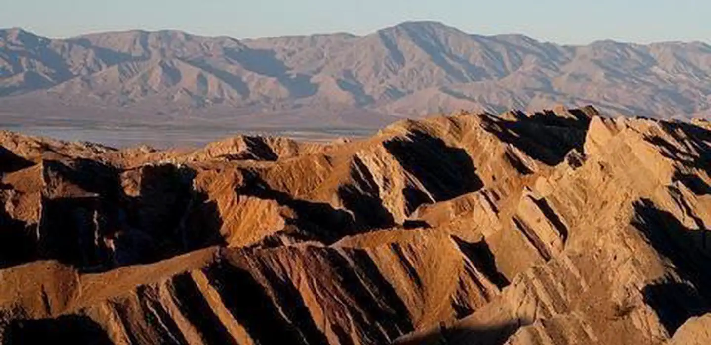
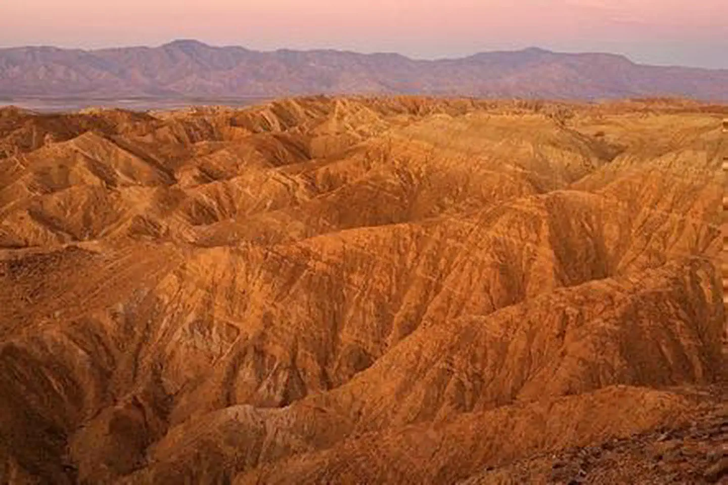
Santa Rosa Wilderness
Nevada
ParkNat'l Recreation Area
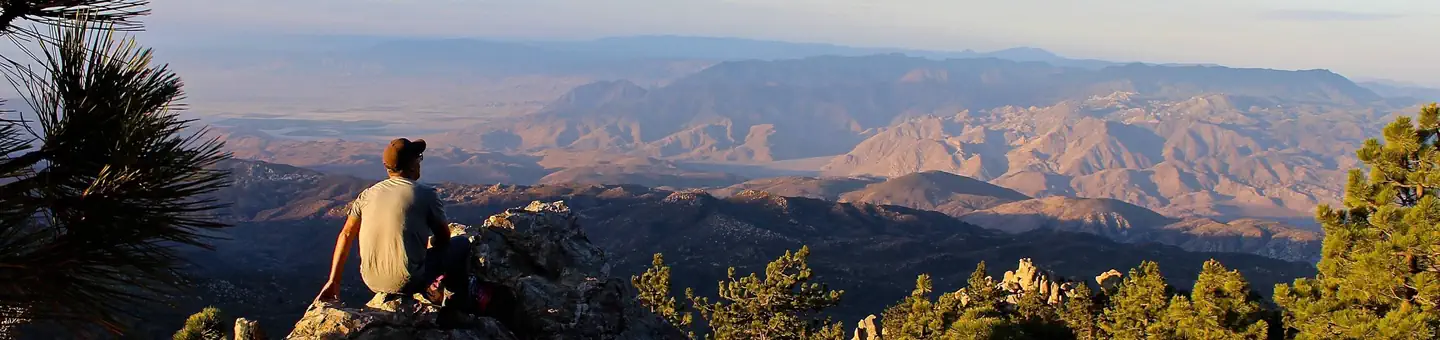
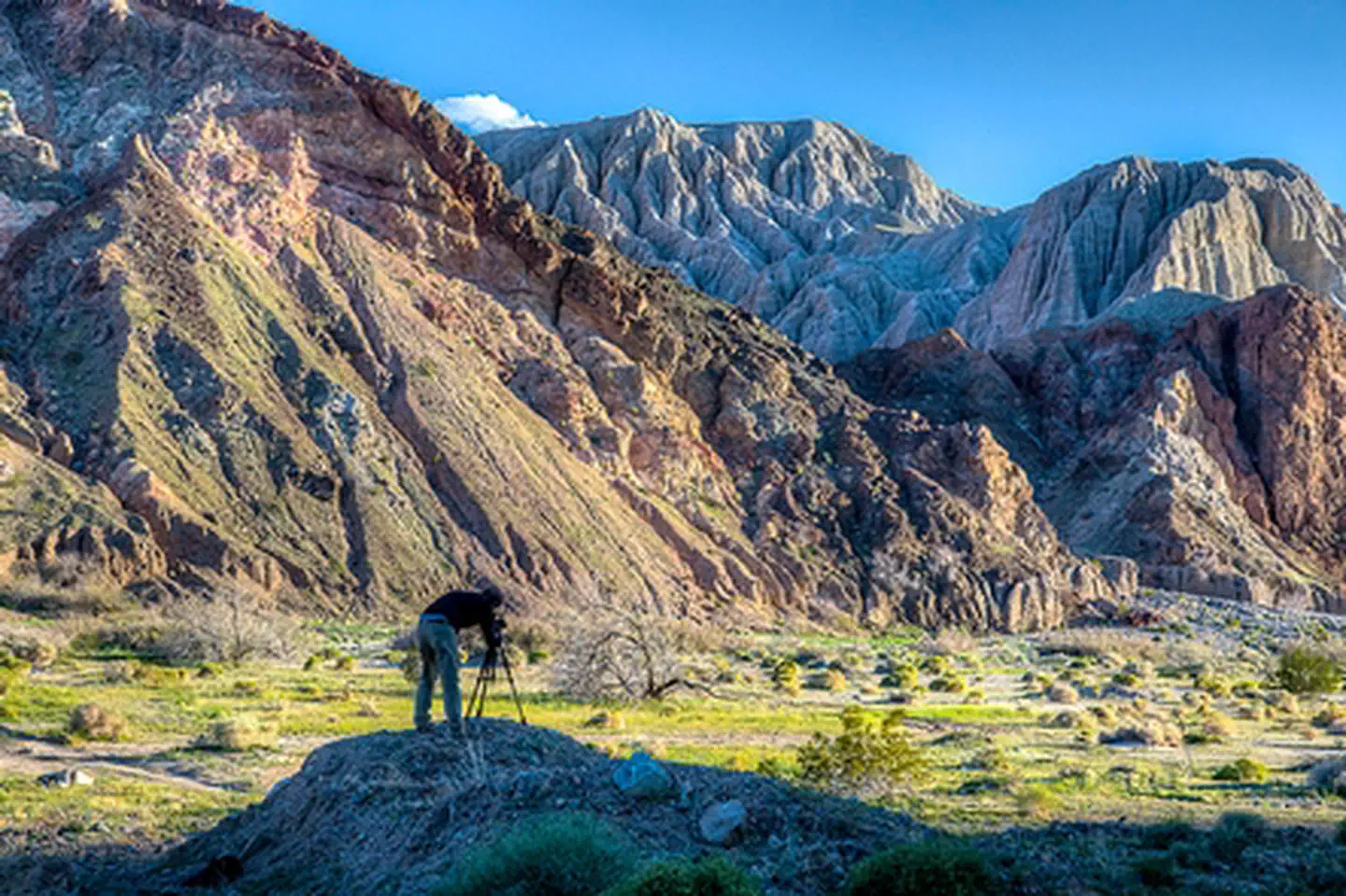
Santa Rosa and San Jacinto Mountains National Monument
Nevada
ParkNat'l Recreation Area
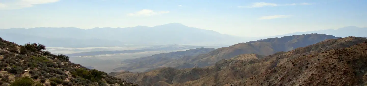
Palms to Pines Scenic Byway
Nevada
ParkNat'l Recreation Area
Coachella Valley National Wildlife Refuge
Nevada
Parkwildlife refuge
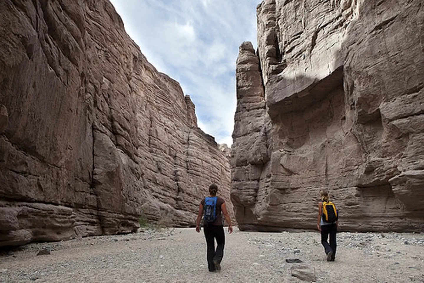
Mecca Hills Wilderness
Arizona
ParkWilderness Area
Orocopia Mountains Wilderness
Arizona
ParkNat'l Recreation Area
Same state
More parks in Nevada
Featured
Humboldt-Toiyabe National Forest
Nevada
9,828 sq mi
ParkNational Forest
Afton Canyon
Nevada
Parkrecreation area
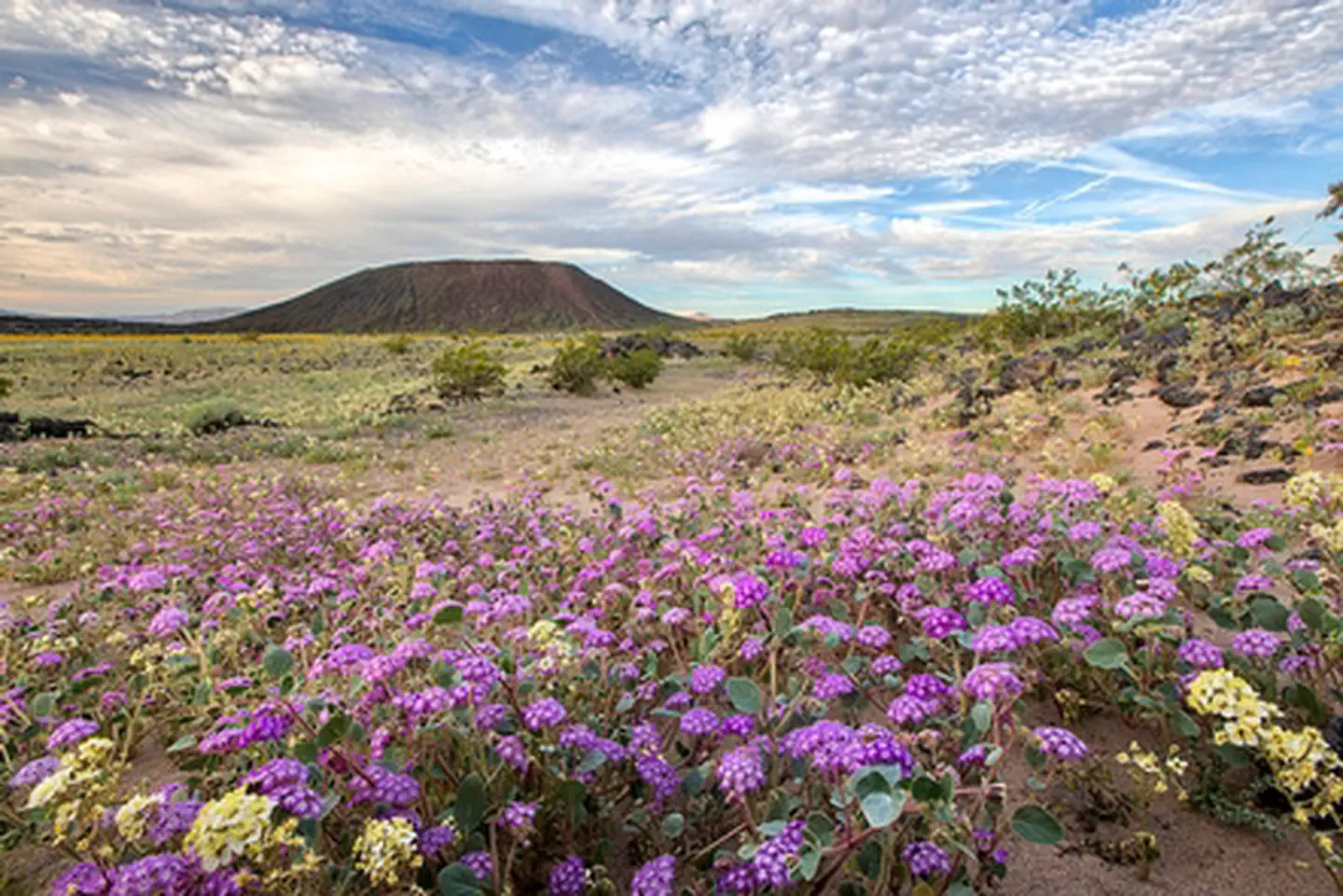
Amboy Crater National Natural Landmark
Nevada
ParkNat'l Recreation Area
Arrow Canyon Wilderness
Nevada
ParkWilderness Area
Arrowhead (Trails) Highway
Nevada
ParkNat'l Recreation Area
Ash Meadows National Wildlife Refuge
Nevada
ParkNat'l Recreation Area
Barstow
Nevada
Parkrecreation area
Beauty Mountain Wilderness
Nevada
ParkWilderness Area
Spot an error in our data on Lake Cahuilla?